Bentonville and the Ozarks

Arkansas · the United States

Bentonville and the Ozarks

Northwest Arkansas: the Crystal Bridges Museum and Bentonville’s mountain-bike trails, the Victorian town of Eureka Springs, Thorncrown Chapel and the cliffs of the Buffalo River.

Louisiana and the Mississippi Delta

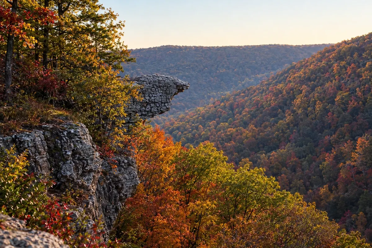
In the photo: Hawksbill Crag and the forested valleys of the Ozarks.

Illustrative images. The pictures in this guide are illustrations based on the real place, not photographs, and may differ from it.

Get to know the place

A region to enjoy
at your own pace.

Northwest Arkansas lies on the Ozark Plateau, a region of forested hills, clear-water rivers and small towns, on the border with Missouri and Oklahoma.

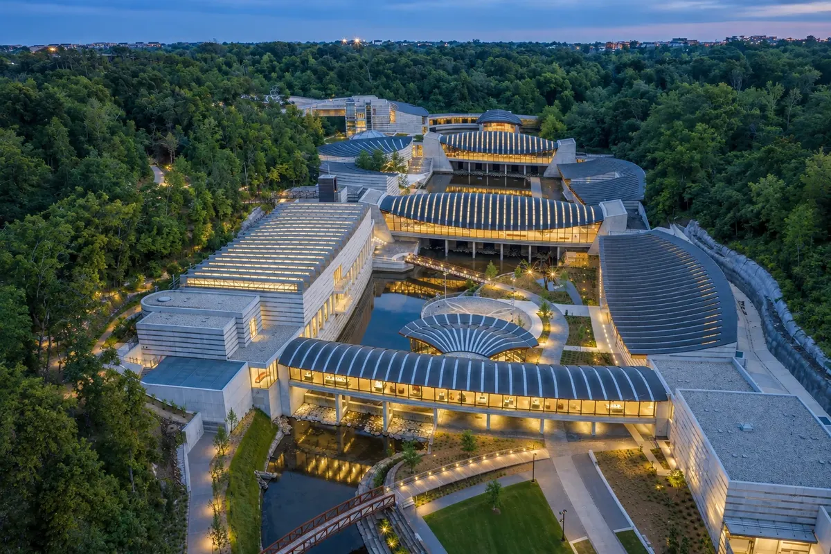
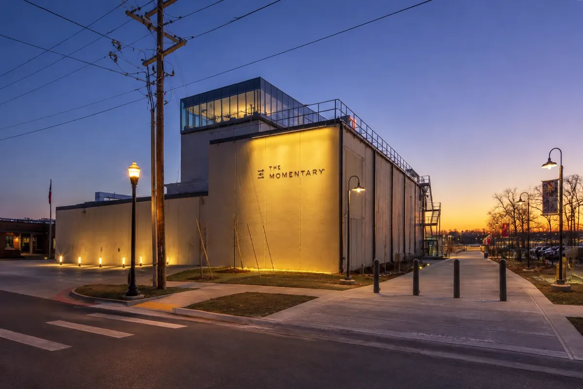
Bentonville is the city where the Walmart chain began, and its headquarters remain there. The founding family financed the Crystal Bridges Museum of American Art, opened in 2011 in a wooded ravine, and the contemporary art center The Momentary. The city invested in trails, and today it is one of the country’s best-known mountain-bike destinations, with routes that leave the downtown and enter the woods.

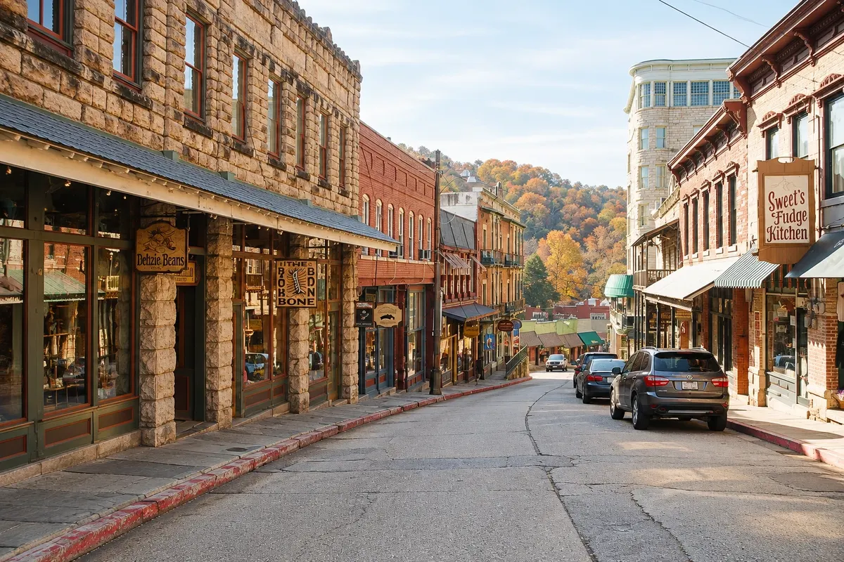
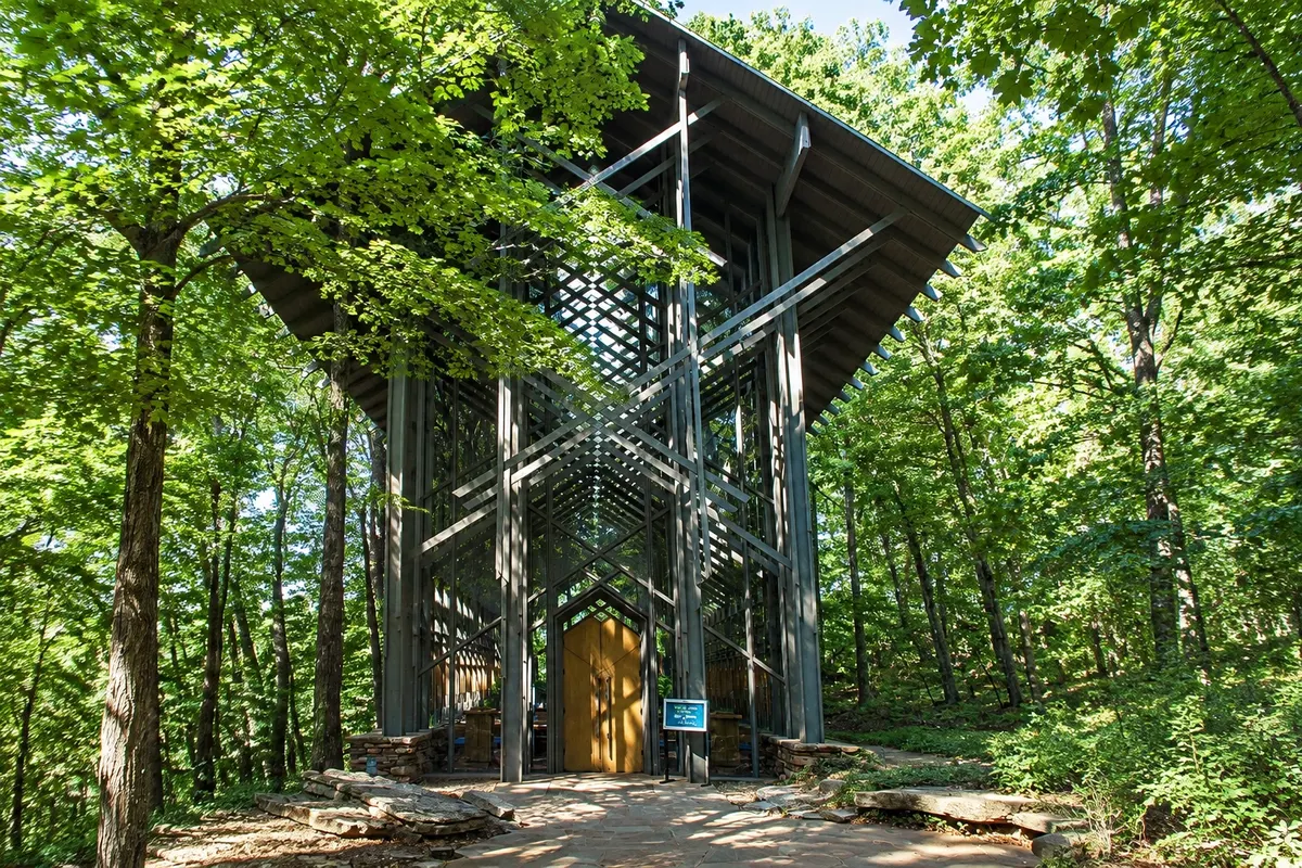
Eureka Springs, about an hour to the east, grew famous for its springs and spread over a slope so steep that many streets cross at different levels. The historic center, with Victorian houses, galleries and stairways, is fully protected. Nearby are Thorncrown Chapel, a wooden-and-glass chapel in the woods, and a big-cat refuge.

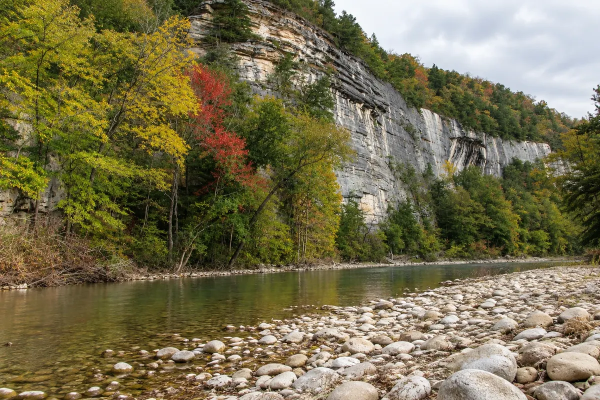
Farther south, the Buffalo River runs between limestone cliffs, in a stretch protected as a national river, with trails, waterfalls and canoe trips.

This destination brings together 2 cities: Bentonville, Eureka Springs.

Share: WhatsApp
Traveler, share your experiences through photos Up to 5 photos of each place you visited.

One destination, many paths

The cities on this trip

Start with one city or combine several in your itinerary.

Where Bentonville and the Ozarks is
BentonvilleEureka Springs

Boundaries: U.S. Census Bureau / geoBoundaries (public domain). Adapted by Cidade Turismo.

How to get there: Bentonville and the Ozarks

✈ Northwest Arkansas National Airport (XNA) · 25 km to Bentonville

Northwest Arkansas Regional Airport (XNA) is about 25 km from Bentonville, with domestic flights. Eureka Springs is about 75 km to the east, by mountain roads. Entry requirements depend on your nationality: confirm the rules before you travel.

Suggested arrival point: Bentonville

The local experience

Things to do in Bentonville and the Ozarks

Eureka Springs Historic District
Eureka Springs · Arkansas · Historic center

Eureka Springs Historic District

Victorian hillside center with late 19th-century stone and wood houses, springs, stairways, galleries and shops, all listed as a historic district.

Crystal Bridges Museum of American Art
Bentonville · Arkansas · Art museum

Crystal Bridges Museum of American Art

American art museum in a wooded ravine in Bentonville, with pavilions over spring-fed ponds, five centuries of painting and sculpture, trails and a Frank Lloyd Wright house.

The Momentary
Bentonville · Arkansas · Art museum

The Momentary

Contemporary arts center set in a former cheese factory in Bentonville, with exhibitions, music, cinema and a bar atop the tower.

Thorncrown Chapel
Eureka Springs · Arkansas · Architecture

Thorncrown Chapel

A wooden-and-glass chapel from 1980 in the middle of the woods, west of Eureka Springs, designed by architect E. Fay Jones, with 425 windows and 15 meters in height.

See 4 more places in Bentonville and the Ozarks
Slaughter Pen Trail System
Bentonville · Arkansas · Trail

Slaughter Pen Trail System

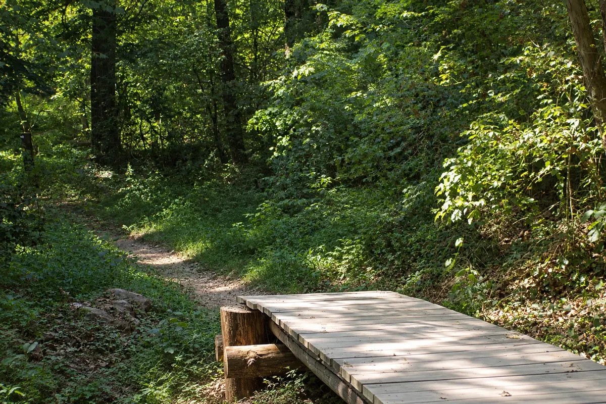
Network of mountain-bike trails in the woods north of downtown Bentonville, with routes of varying difficulty, skills lines and artworks along the way.

Turpentine Creek Wildlife Refuge
Eureka Springs · Arkansas · Nature reserve

Turpentine Creek Wildlife Refuge

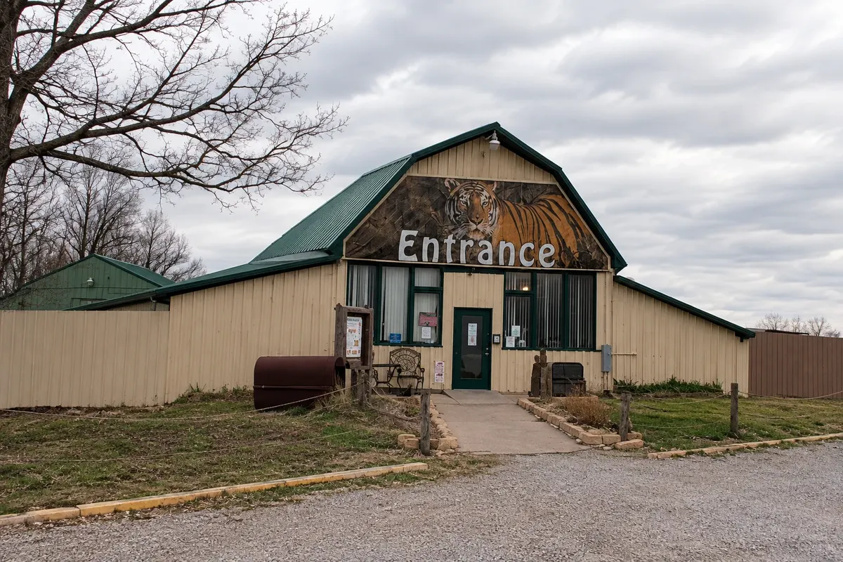
Big-cat refuge south of Eureka Springs that houses tigers, lions, bears and other rescued animals, with guided visits.

Buffalo National River
Eureka Springs · Arkansas · Natural area

Buffalo National River

The United States’ first national river, running free of dams through limestone cliffs in the Ozarks, with trails, waterfalls, overlooks and canoe trips from Ponca.

Pea Ridge National Military Park
Bentonville · Arkansas · Historic park

Pea Ridge National Military Park

Civil War battlefield from March 1862, northeast of Bentonville, with a visitor center, an approximately 11 km driving loop and trails through fields and woods.

Before you go

Practical information

A little planning leaves more time to enjoy the journey.

When to go

April, May, September and October usually have highs between 15 °C and 26 °C. Forest leaves typically change color in late October and early November. Spring is canoe season on the Buffalo River, when water levels are higher. In July and August the air becomes heavy; from December to February it can snow.

The seasons shown are the most usual ones; nature doesn't always follow the calendar.

How many days to stay

With three days, spend half the time in Bentonville, between the museum and the trails, and half in Eureka Springs, including the chapel. A fourth day allows for the Buffalo River.

Which city to stay in

In Bentonville, downtown, near the square and the trail that leads to Crystal Bridges. In Eureka Springs, in the historic center, in Victorian houses converted to lodging, or in woodland cabins around town. For the Buffalo River there are cabins and campgrounds near Ponca and Jasper.

Respect the place

Take your trash with you, follow the signs and support local businesses. In natural areas, follow the visiting guidelines.

Get your questions answered

Frequently asked questions about Bentonville and the Ozarks

Does Crystal Bridges charge admission?

There is no charge for the permanent collection or the trails. Some temporary exhibitions require a ticket.

Is Bentonville good for mountain biking?

Yes. The city has hundreds of kilometers of trails, many starting from downtown, ranging from easy to technical. There are bike rentals and local guides.

Do you need a car in the Arkansas Ozarks?

Yes. Bentonville, Eureka Springs and the Buffalo River are distant from each other, and the mountain roads lack public transportation.

Can you do Bentonville to Eureka Springs as a day trip?

Yes: it’s about 75 km, roughly an hour and fifteen minutes by car on winding roads. To enjoy the town at night, it’s worth staying there overnight.

What time zone is northwest Arkansas in?

Central Time: UTC−6 in winter and UTC−5 in daylight saving time, from March to November.

Explore other destinations Search by state and city