

 Brazil
 Antarctica
 Argentina
 Bolivia
 Chile
 Colombia
 Ecuador
 Guyana
 French Guiana
 Falkland Islands (Malvinas)
 Paraguay
 Peru
 Suriname
 Uruguay
 Venezuela
 Germany
 Austria
 Belgium
 Croatia
 Denmark
 Slovakia
 Slovenia
 Spain
 Finland
 France
 Greece
 the Netherlands
 Hungary
 Ireland
 Iceland
 Italy
 Luxembourg
 Norway
 Poland
 Portugal
 the United Kingdom
 the Czech Republic
 Sweden
 Switzerland
 Turkey
 Bermuda
 the United States
 Greenland
 Mexico
 Saint Pierre and Miquelon
 the Dominican Republic
 South Africa
 Egypt
 Australia
 Fiji
 New Zealand
 Papua New Guinea
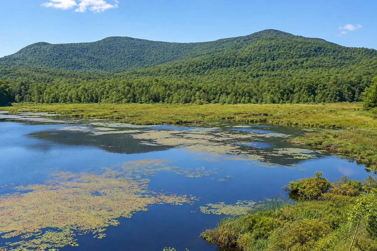
National park · Magog, Quebec
Mont-Orford National Park
Quebec national park just north of Magog, featuring Mont-Orford, beach lakes, summit trails and winter skiing.
Illustrative images. The pictures in this guide are illustrations based on the real place, not photographs, and may differ from it.




Discover
About Mont-Orford National Park
Mont-Orford National Park is a few kilometers north of Magog and includes Mont-Orford, at about 850 meters, other low mountains and two main lakes, Stukely and Fraser. It is one of Quebec’s most visited parks due to its proximity to Montreal and Sherbrooke.
Trails lead to the summits of Mont-Orford and Mont Chauve, with views over Lake Memphrémagog and the region’s hills. The lakes have beaches, canoes and kayaks in season, and a network of bike trails crosses the park. In winter, Mont-Orford’s ski resort operates on the mountain, and the park offers nordic-ski and snowshoe trails.
The park is managed by Sépaq and charges an entrance fee. Check the season dates and the current fee schedule.
Before you go
Practical information
Cidade Turismo reviews its information regularly, but something may have changed. Check with the place before planning your trip.
How much time to set aside
Half a day to a full day.
Best time
From June to October; late September to mid-October for fall colors visible from the summits.
How to get there
Via Route 141, about 10 km from downtown Magog, with several entrances and parking areas.
Tip
For the lake view, climb Mont Chauve, whose trail is shorter and less busy than Mont-Orford’s.
Official website
Get your questions answered
Frequently asked questions about Mont-Orford National Park
How high is Mont-Orford?
About 850 meters.
Does Mont-Orford Park have a beach?
Yes, at lakes Stukely and Fraser, in the summer season.
Is Mont-Orford Park far from Magog?
No, about 10 km from downtown.