Cantons-de-l'Est

Quebec · Canada

Cantons-de-l'Est

Lakes, low mountains, wineries and villages with English and French heritage in southern Quebec, between Montreal and the US border.

Quebec

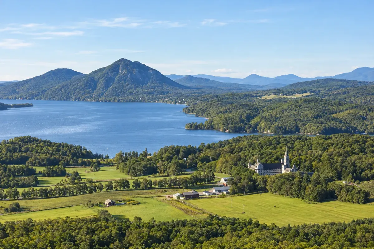
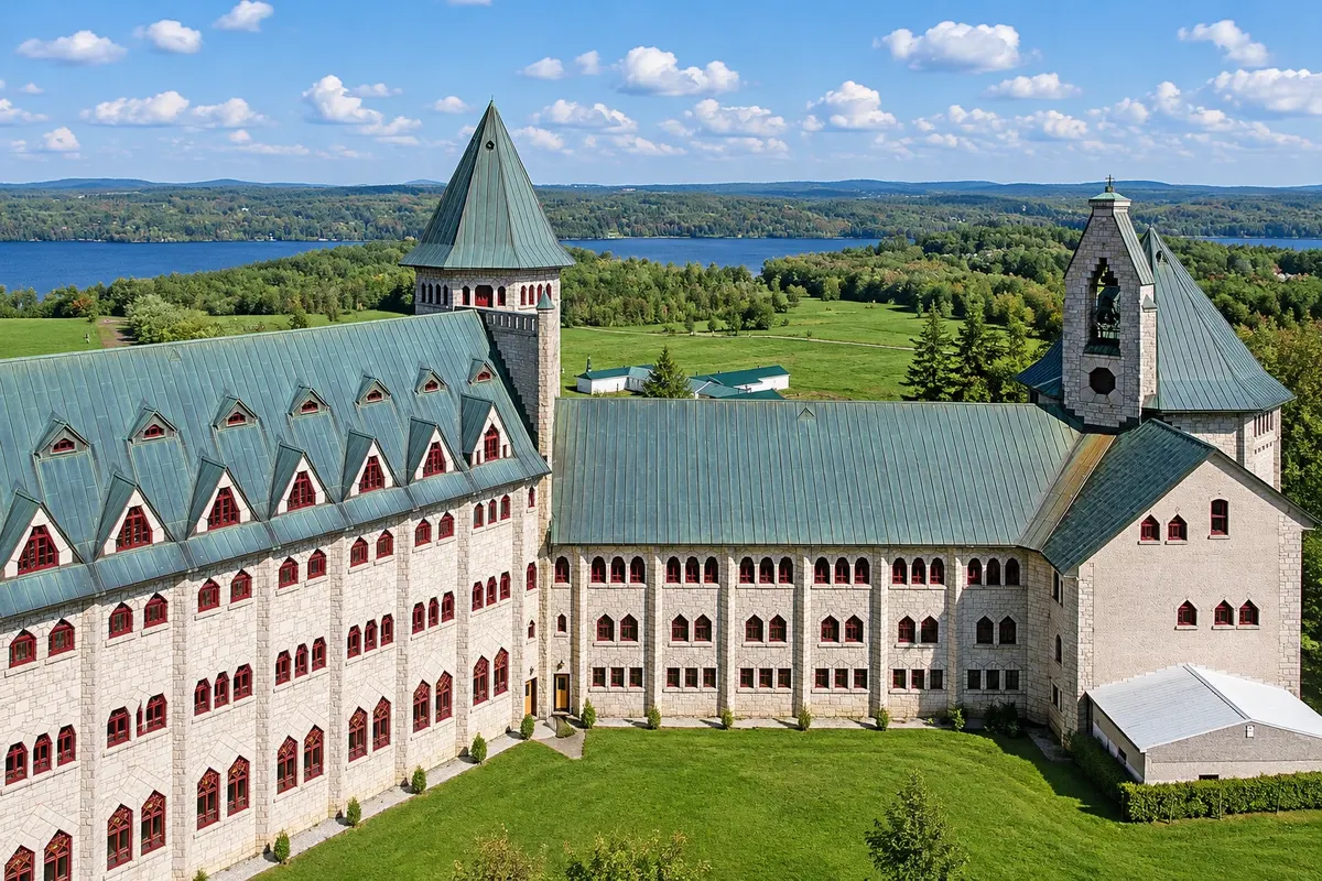
In the photo: Lake Memphrémagog and fields around Saint-Benoît-du-Lac

Illustrative images. The pictures in this guide are illustrations based on the real place, not photographs, and may differ from it.

Get it on Google Play Send your photos

Get to know the place

A region to enjoy
at your own pace.

The Eastern Townships are in southern Quebec, between Montreal and the border with Vermont, New Hampshire and Maine. The region was settled at the end of the 18th century by families loyal to the British Crown who came from the United States, and later by Francophones, which left villages with wooden churches, covered bridges and English and French place names.

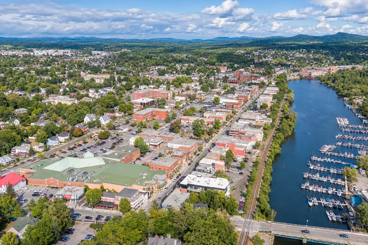
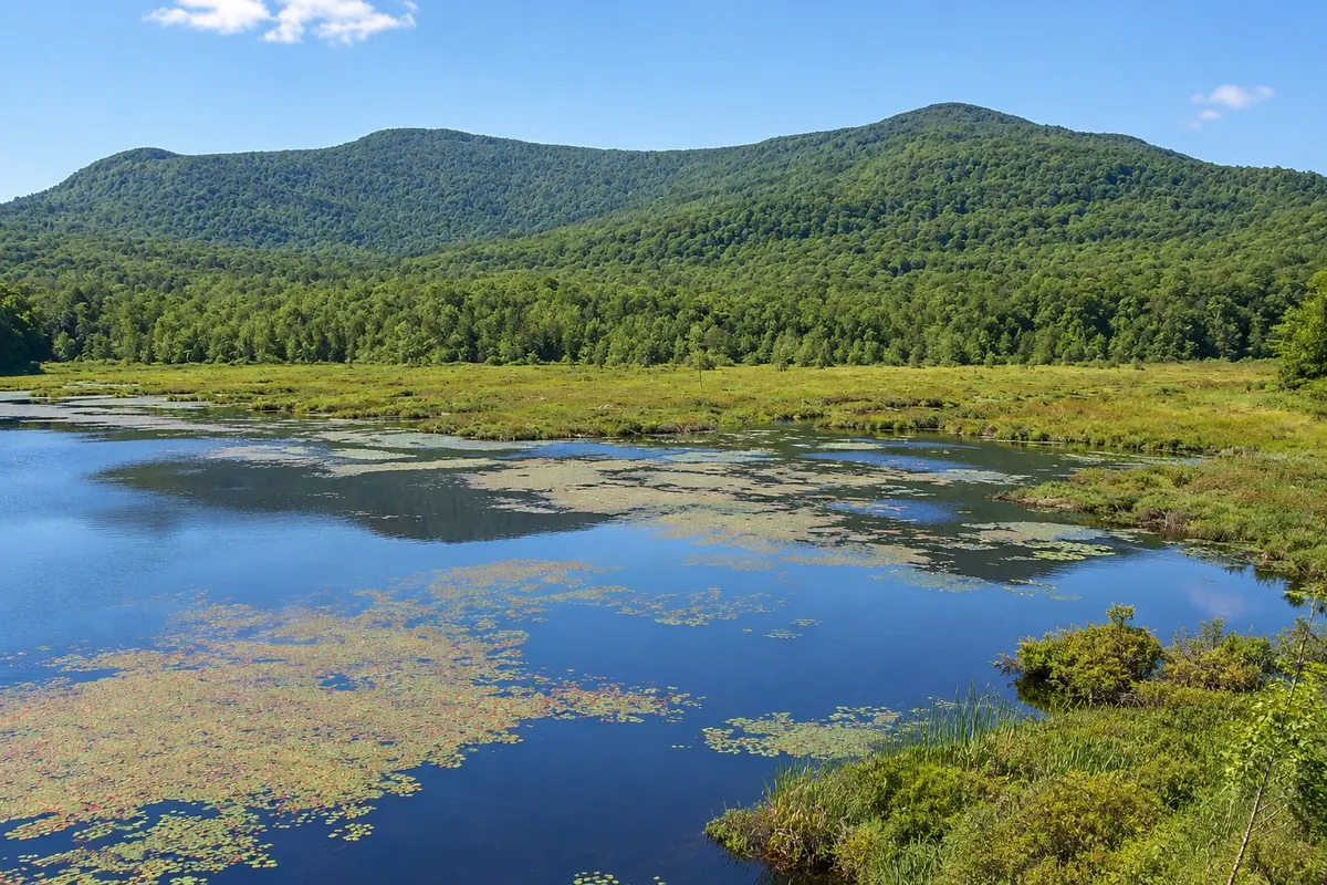
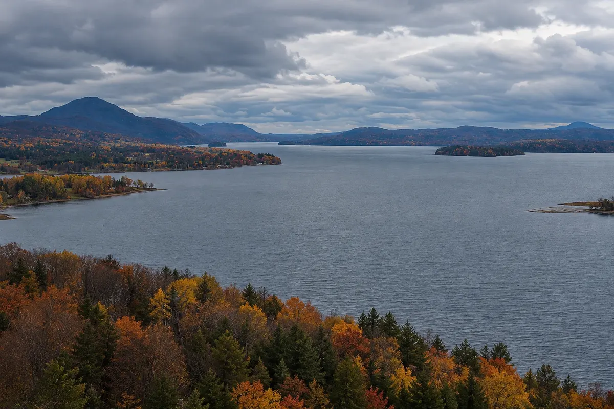
The landscape is made up of hills and low mountains at the end of the Appalachians, forests, farms and lakes. Lake Memphrémagog, more than 40 km long, crosses the border; Magog sits on its northern shore, and on the western shore is the Abbey of Saint-Benoît-du-Lac, where Benedictine monks make cheese. Mont-Orford National Park lies just above the town.

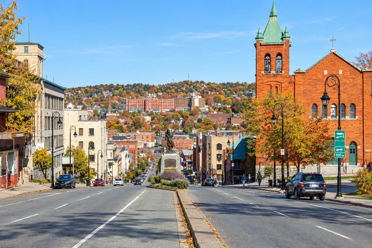
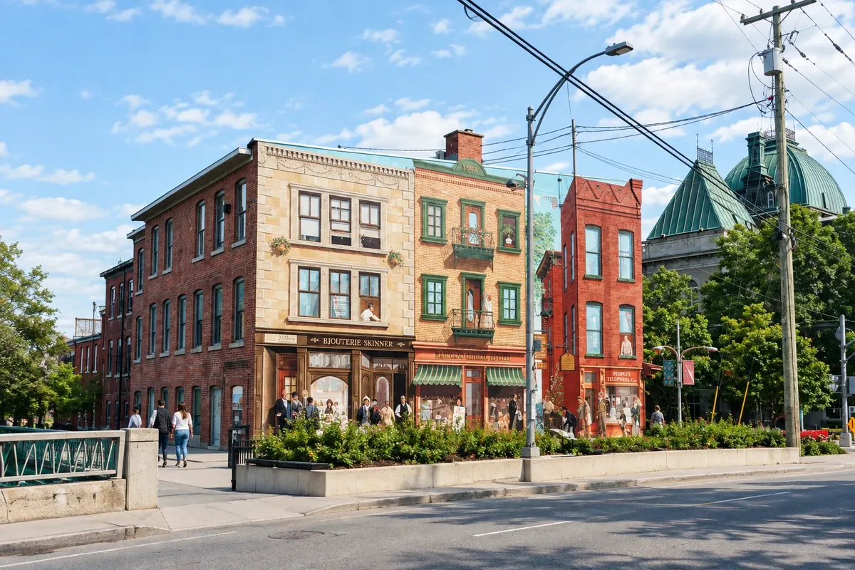
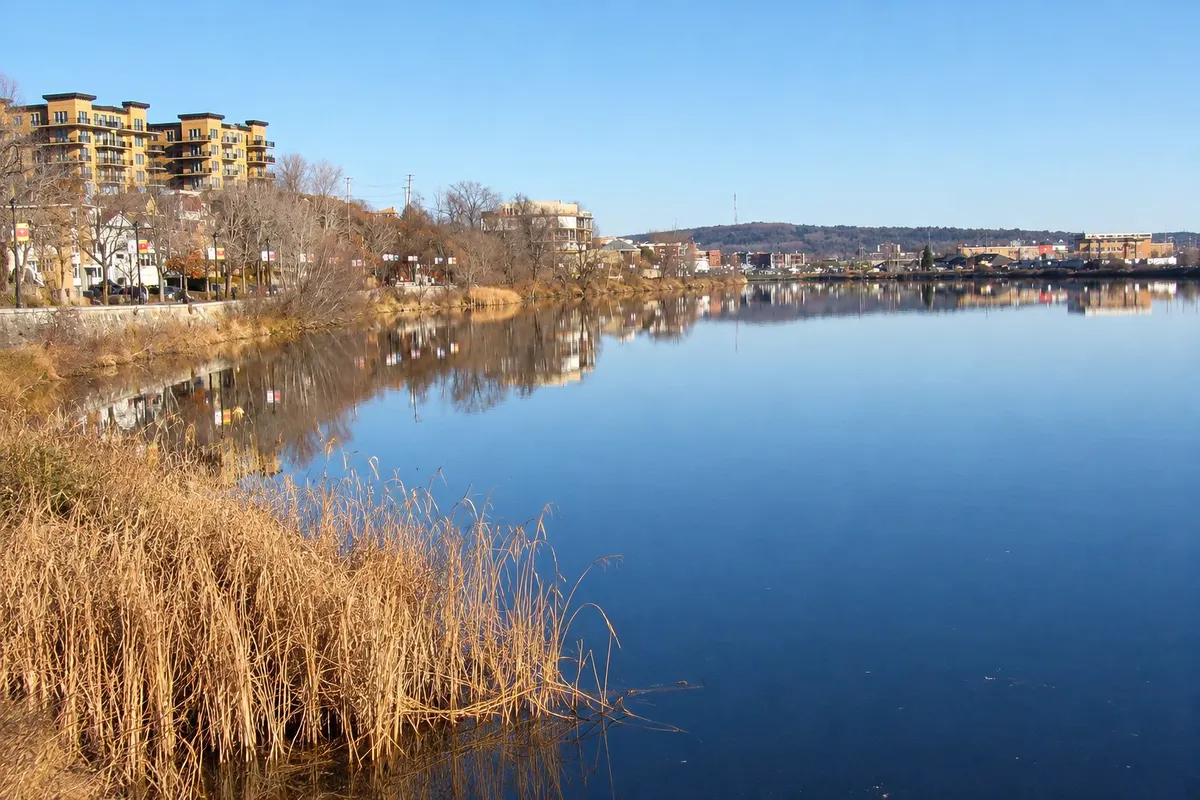
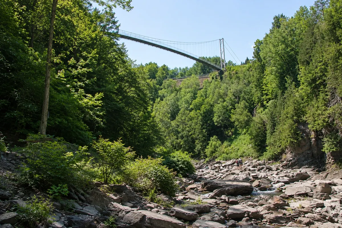
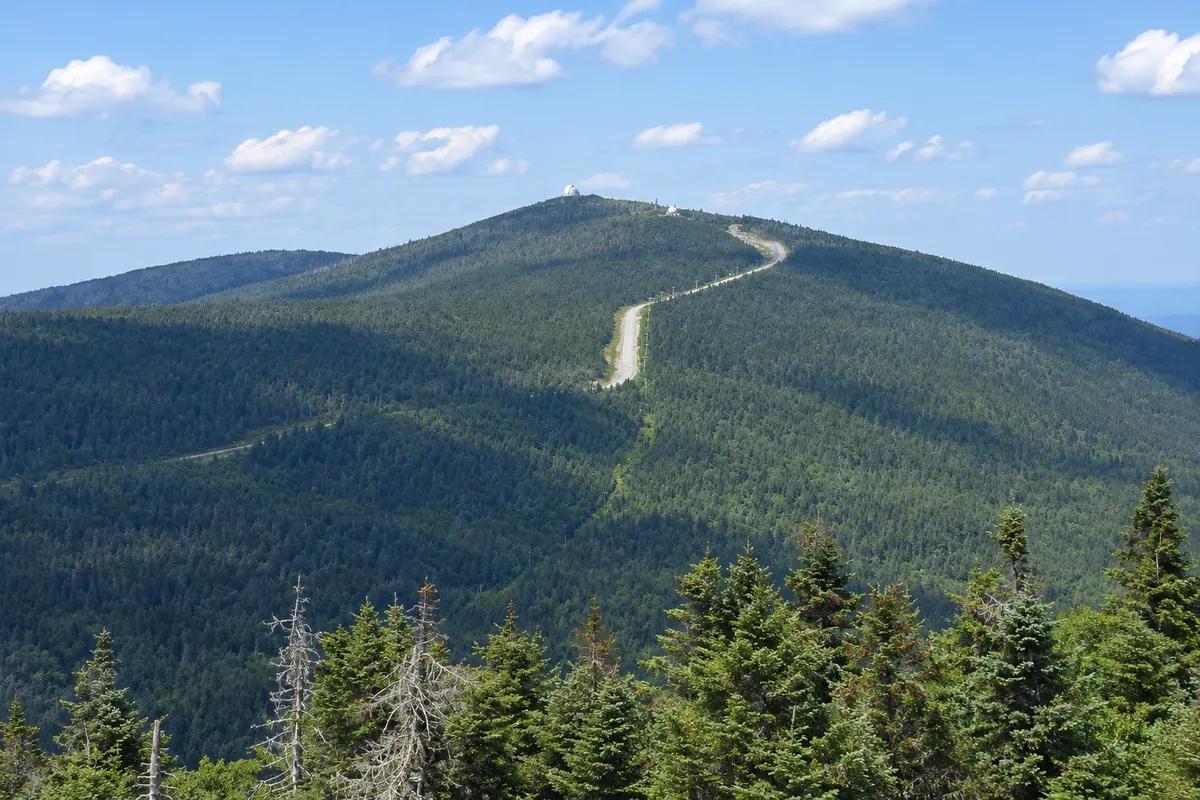
Sherbrooke, the region’s largest city, is known for the murals painted on downtown façades and for Lac des Nations. To the south are the Coaticook Gorge, which has one of the longest suspended pedestrian walkways, and to the east Mount Mégantic, with an observatory inside a dark-sky reserve.

The region has a wine and local-producers route, and in autumn it is one of the most popular places in Quebec for fall colors.

This destination brings together 2 cities: Magog, Sherbrooke.

Share: WhatsApp
Traveler, share your experiences through photos Up to 5 photos of each place you visited.

One destination, many paths

The cities on this trip

Start with one city or combine several in your itinerary.

Where Cantons-de-l'Est is
SherbrookeMagog

Boundaries: Statistics Canada (Statistics Canada Open Licence) / geoBoundaries. Adapted by Cidade Turismo.

How to get there: Cantons-de-l'Est

✈ Aéroport international Montréal-Trudeau (YUL), in Dorval · 135 km to Magog

Magog is about 120 km from Montreal via Autoroute 10, roughly a one-and-a-half-hour drive, and Sherbrooke about 150 km. The most commonly used airport is Montreal (YUL). Intercity buses connect Montreal with Magog and Sherbrooke.

Suggested arrival point: Magog

The local experience

Things to do in Cantons-de-l'Est

Sherbrooke Murals
Sherbrooke · Quebec · Urban art

Sherbrooke Murals

A walking route through downtown Sherbrooke with more than a dozen large murals painted on façades, depicting the city’s history and life.

Mont-Orford National Park
Magog · Quebec · National park

Mont-Orford National Park

Quebec national park just north of Magog, featuring Mont-Orford, beach lakes, summit trails and winter skiing.

Lac des Nations
Sherbrooke · Quebec · Lake

Lac des Nations

A lake in downtown Sherbrooke, formed by the Magog River, with a promenade of about 3.5 km around it, fountains and festival spaces.

Lake Memphremagog
Magog · Quebec · Lake

Lake Memphremagog

A lake more than 40 km long between Quebec and Vermont, with Magog’s waterfront, beaches, a promenade, a bike path and seasonal cruises.

See 3 more places in Cantons-de-l'Est
Saint-Benoît-du-Lac Abbey
Magog · Quebec · Abbey

Saint-Benoît-du-Lac Abbey

Benedictine abbey on the shore of Lake Memphrémagog, with a tower and stone buildings, Gregorian chant at the services, and a shop selling cheeses and ciders made by the monks.

Coaticook Gorge
Sherbrooke · Quebec · Park

Coaticook Gorge

Park in a river gorge about 30 km from Sherbrooke, with a 169-meter suspended footbridge over the canyon and forest trails.

Mont-Mégantic National Park
Sherbrooke · Quebec · National park

Mont-Mégantic National Park

Quebec national park with an astronomical observatory on the summit of Mont-Mégantic, at the centre of the first International Dark Sky Reserve, created in 2007.

Before you go

Practical information

A little planning leaves more time to enjoy the journey.

When to go

From June to October. Summer offers lakes, bike paths and festivals; the forests usually change color from late September to mid-October. In winter, there is skiing at Mont-Orford and other nearby mountains.

The seasons shown are the most usual ones; nature doesn't always follow the calendar.

How many days to stay

Three days: one in Magog and Mont-Orford, one for the abbey and the lakeside villages and one in Sherbrooke and Coaticook. Add another night for the Mont-Mégantic observatory.

Which city to stay in

Magog has hotels, inns and chalets near the lake and Mont-Orford. Sherbrooke has more urban accommodation near downtown and Lac des Nations. Villages like North Hatley have inns in old lakeside houses on Lake Massawippi.

Respect the place

Take your trash with you, follow the signs and support local businesses. In natural areas, follow the visiting guidelines.

Get your questions answered

Frequently asked questions about Cantons-de-l'Est

How many days should you stay in the Eastern Townships?

Three days to see Magog, Mont-Orford, the abbey, Sherbrooke and Coaticook; add one more night for Mont-Mégantic.

Do you need a car in the Eastern Townships?

Yes. Buses reach Magog and Sherbrooke, but the villages, parks and producers are spread out.

Can you do a day trip from Montreal to the Eastern Townships?

Yes, to Magog and Mont-Orford, about a one-and-a-half-hour drive. To see more of the region, it’s worth staying overnight.

When can you see fall colors in the Eastern Townships?

Generally from late September to mid-October.

What time zone are the Eastern Townships in?

The same as Montreal: UTC−5, and UTC−4 from March to November.

Explore other destinations Search by state and city