

 Brazil
 Argentina
 Bolivia
 Chile
 Colombia
 Ecuador
 Guyana
 French Guiana
 Falkland Islands (Malvinas)
 Paraguay
 Peru
 Suriname
 Uruguay
 Venezuela
 Germany
 Austria
 Belgium
 Croatia
 Denmark
 Spain
 Finland
 France
 Greece
 the Netherlands
 Hungary
 Ireland
 Iceland
 Italy
 Luxembourg
 Norway
 Poland
 Portugal
 the United Kingdom
 the Czech Republic
 Sweden
 Switzerland
 the Dominican Republic
 Fiji
Province · Trácia e Mármara
Kırklareli
Kırklareli, between Bulgaria and the Black Sea, has the flooded forests of İğneada, the Dupnisa cave, the fishing village of Kıyıköy and the hardaliye tradition.
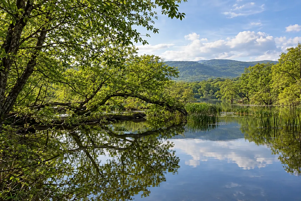
In the photo: İğneada flooded forests, Kırklareli
Illustrative images. The pictures in this guide are illustrations based on the real place, not photographs, and may differ from it.

The province
Get to know Kırklareli
Kırklareli lies in northeastern Thrace, the European side of Turkey, between the border with Bulgaria and the Black Sea coast. The north is occupied by the Istranca Mountains (Yıldız Dağları), with oak and beech forests; the south is agricultural plains.
On the coast, İğneada Flooded Forests National Park (İğneada Longoz Ormanları Milli Parkı) protects a rare ecosystem of woods that are partially flooded for part of the year, lakes such as Mert and Erikli and seaside dunes. Further south, Kıyıköy is a fishing village with ancient walls, a river and a beach.
Near Demirköy, Dupnisa Cave has about 2.7 km of galleries on two levels, formed by three caverns, with stalactites, underground rivers and lakes. It houses colonies of bats and only opens outside their breeding season.
In the town of Kırklareli, the Hızırbey complex, with mosque, Turkish bath and bazaar, dates from the late 14th century; in Lüleburgaz, the Sokullu Mehmet Paşa complex is the work of the architect Sinan.
The typical drink is hardaliye, made from fermented grape with mustard seeds. Köfte, buffalo yoghurt and Black Sea fish round out the table.
When to go
From May to September is usually the best time for İğneada and Kıyıköy, with beach season from June to August. Dupnisa Cave usually closes from mid-November to mid-May, during the bats' breeding season: check before you go. Winter is cold and wet, with fog in the mountains.
Getting there
The capital, Kırklareli, is about 220 km from Istanbul by road, with long-distance buses to the town terminal. For İğneada, Kıyıköy and Dupnisa, a car makes things easier, as transport between the villages is infrequent. The most used airports are in Istanbul; Tekirdağ (Çorlu) has few flights. Check before booking.
Your questions
Frequently asked questions about Kırklareli
What is a longoz forest?
It is a forest that becomes flooded for part of the year, when rivers descending from the mountains overflow near the sea. In İğneada, it mixes with lakes, marshes and dunes, in one of the few such environments in Europe.
When can Dupnisa Cave be visited?
The cave usually opens from mid-May to mid-November and closes for the rest of the year, so as not to disturb the bats' breeding. Check before you go.
Can you go from Istanbul to İğneada in one day?
It is possible, but the drive is long and crosses the Istranca Mountains. The most common option is to stay overnight in İğneada or Kıyıköy and combine the national park, the cave and the coast over two days.
What is hardaliye?
It is a traditional drink from Kırklareli, made from fermented grape with mustard seeds. It is usually served cold and sold in markets and restaurants in the region.