The destination sits at the heart of the volcanic plateau of the North Island. To the north, Lake Taupō, about 616 km², is the country’s largest lake and occupies the caldera of a supervolcano, formed by major eruptions tens of thousands of years ago and renewed by an eruption around the year 232. On the northern shore, where the Waikato River leaves the lake, is the town of Taupō.
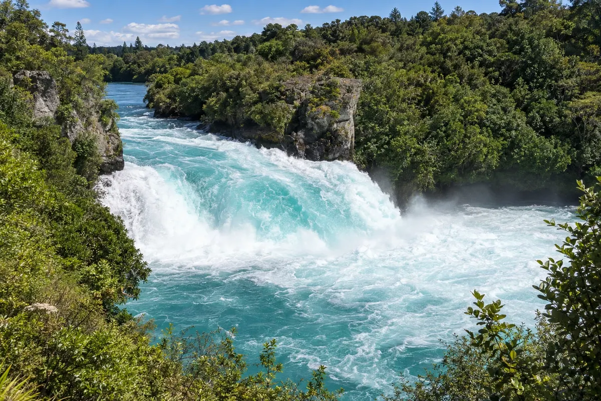
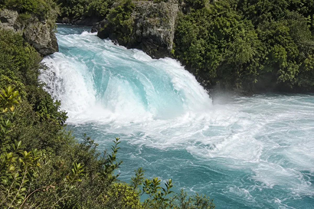
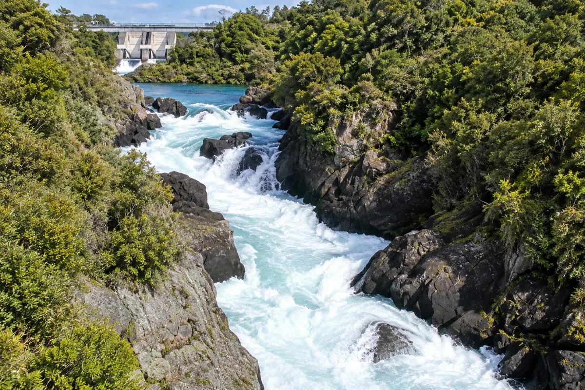
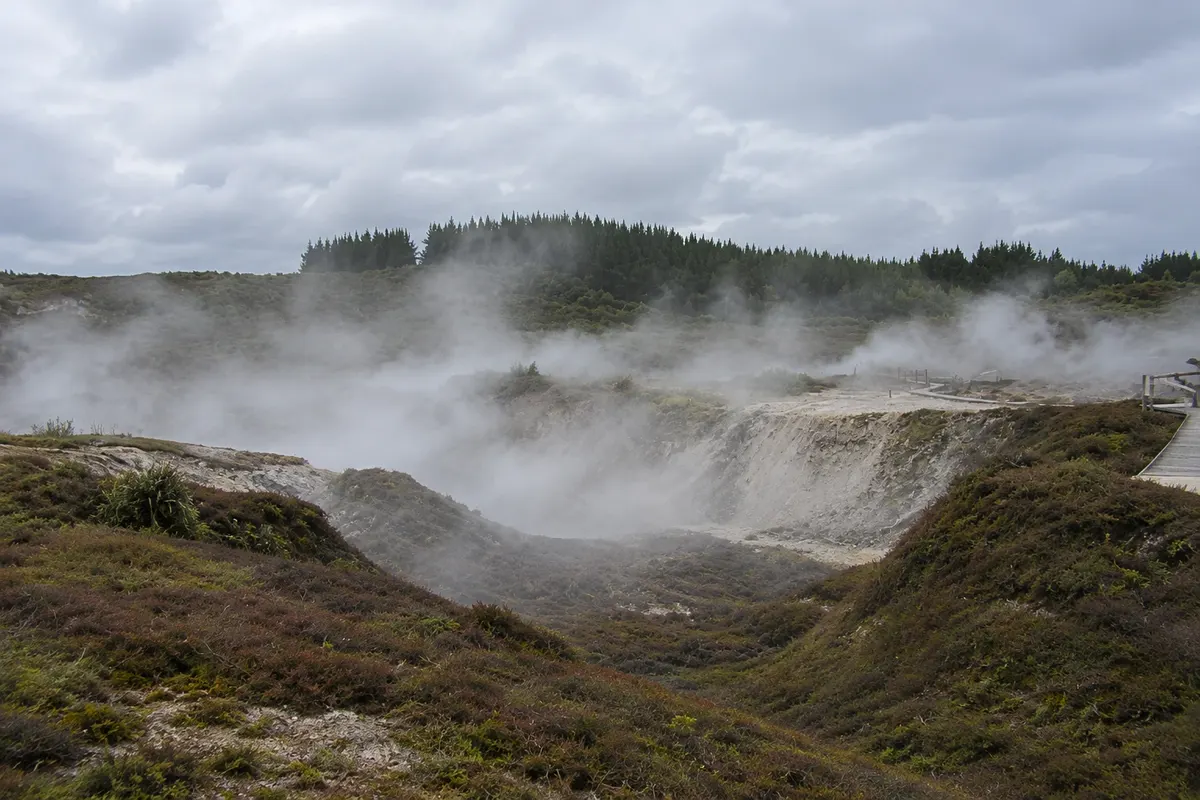
Around Taupō, the river and underground heat create attractions just minutes from town: the Huka Falls, the Aratiatia rapids and the fumarole field Craters of the Moon. On the lake, boats and kayaks reach a rock face carved with the face of the Māori navigator Ngātoroirangi.
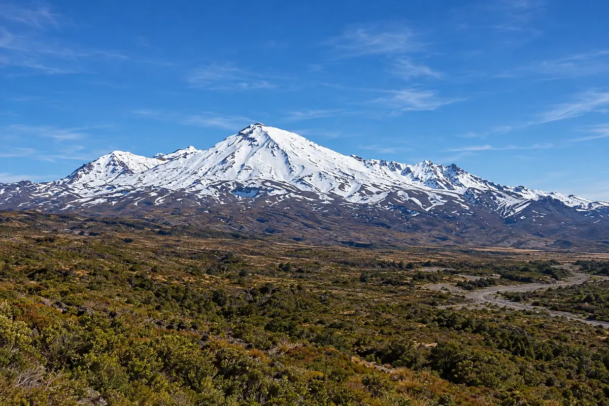
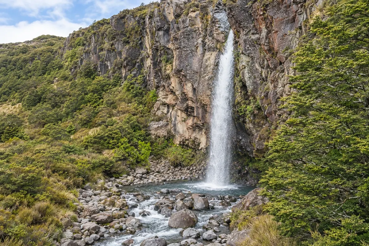
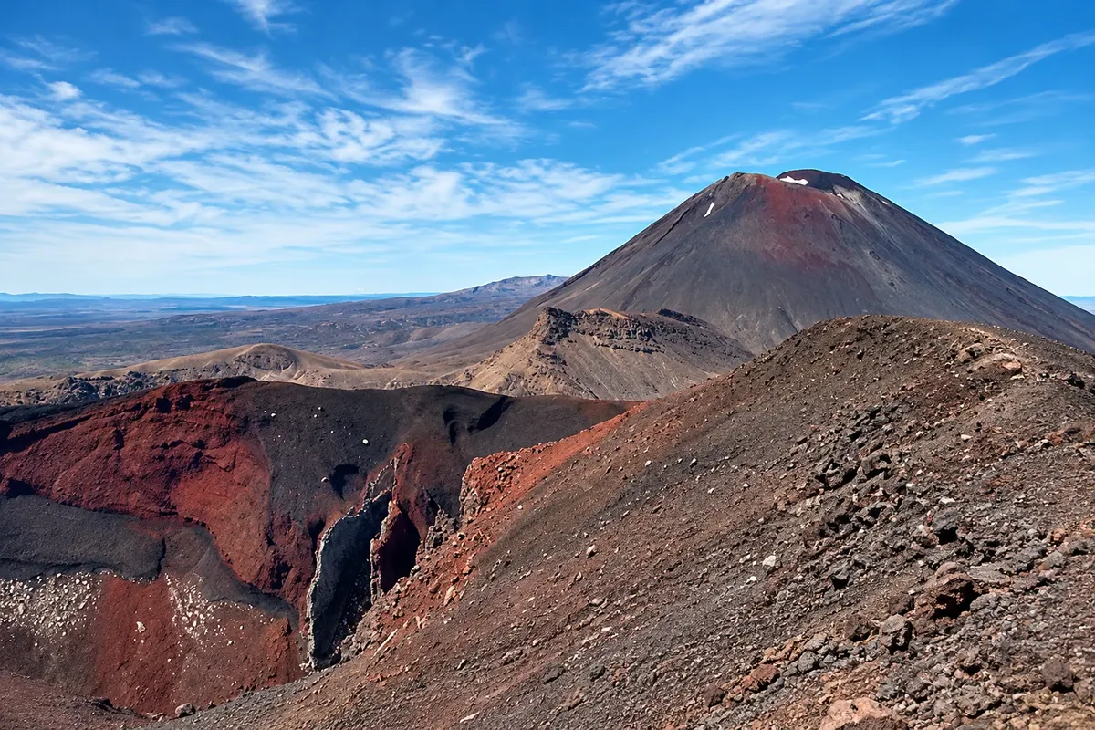
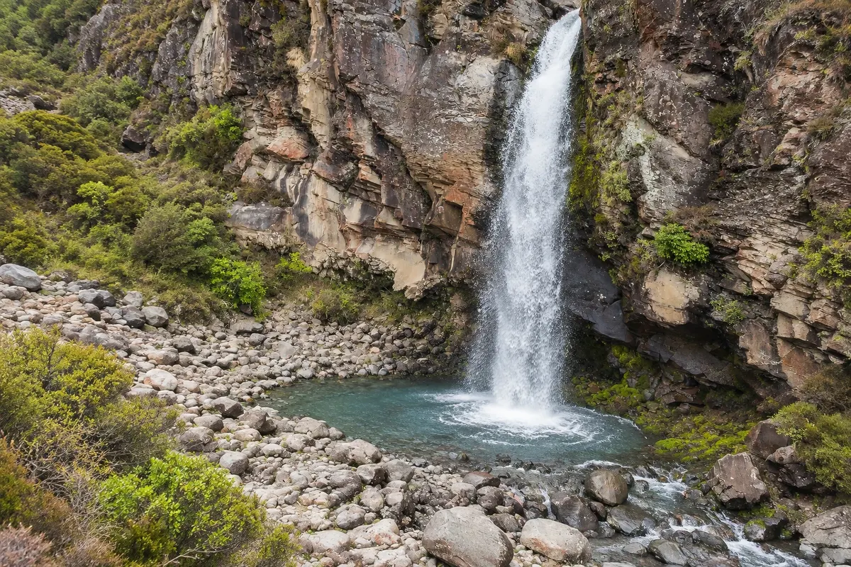
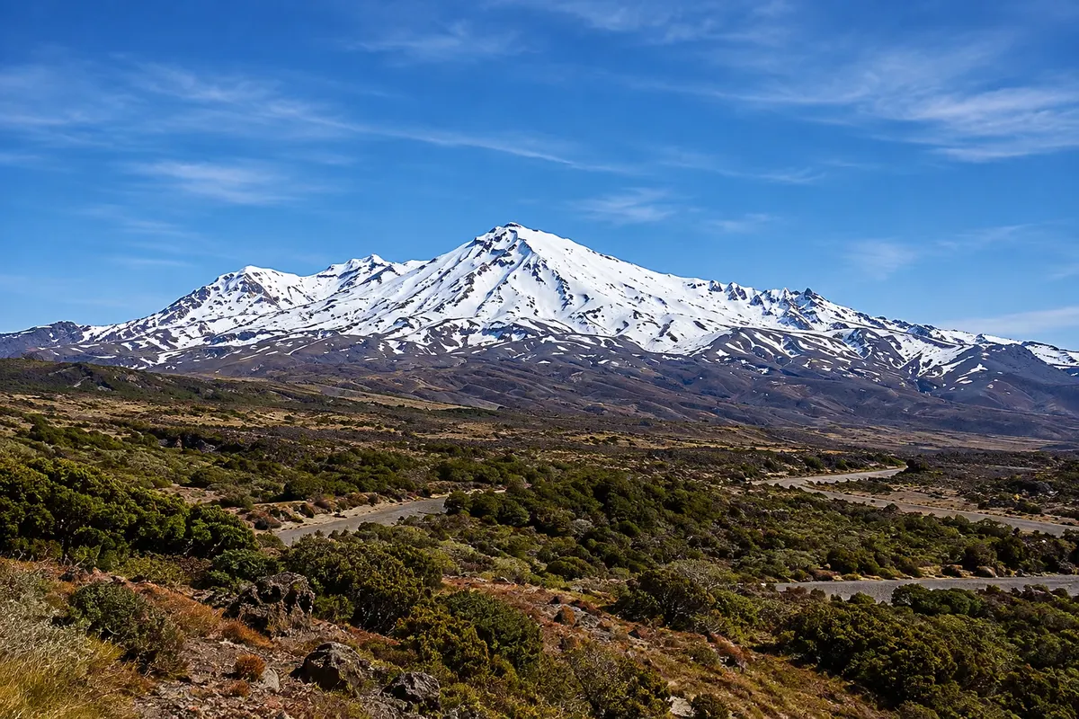
South of the lake, about 100 km from Taupō, is Tongariro National Park, the country’s first national park, created in 1887 from a donation by the Māori chiefs of the Ngāti Tūwharetoa tribe. It is a UNESCO World Heritage site for its natural values and for the cultural significance of the mountains to Māori. Three active volcanoes dominate the landscape: Tongariro, Ngāuruhoe and Ruapehu, the latter the highest point on the North Island at 2,797 meters.
Whakapapa, a small village at about 1,100 meters of elevation, is the park base: trails start there, as does the road to the ski area and transport for the Tongariro Alpine Crossing, one of the country’s best-known day hikes.
This destination brings together 2 cities: Taupō, Whakapapa Village.


 Brazil
 Argentina
 Bolivia
 Chile
 Colombia
 Ecuador
 Guyana
 French Guiana
 Falkland Islands (Malvinas)
 Paraguay
 Peru
 Suriname
 Uruguay
 Venezuela
 Germany
 Austria
 Belgium
 Croatia
 Denmark
 Slovakia
 Slovenia
 Spain
 Finland
 France
 Greece
 the Netherlands
 Hungary
 Ireland
 Iceland
 Italy
 Luxembourg
 Norway
 Poland
 Portugal
 the United Kingdom
 the Czech Republic
 Sweden
 Switzerland
 Turkey
 Bermuda
 Canada
 the United States
 Mexico
 the Dominican Republic
 South Africa
 Egypt
 Australia
 Fiji
 Papua New Guinea