

 Brazil
 Antarctica
 Argentina
 Bolivia
 Chile
 Colombia
 Ecuador
 Guyana
 French Guiana
 Falkland Islands (Malvinas)
 Paraguay
 Peru
 Suriname
 Uruguay
 Venezuela
 Germany
 Austria
 Belgium
 Croatia
 Denmark
 Slovakia
 Slovenia
 Spain
 Finland
 France
 Greece
 the Netherlands
 Ireland
 Iceland
 Italy
 Luxembourg
 Norway
 Poland
 Portugal
 the United Kingdom
 the Czech Republic
 Sweden
 Switzerland
 Turkey
 Bermuda
 Canada
 the United States
 Greenland
 Mexico
 Saint Pierre and Miquelon
 the Dominican Republic
 Japan
 South Africa
 Egypt
 Australia
 Fiji
 New Zealand
 Papua New Guinea
Route · Veszprém · Zala · Somogy
Cycling tour around Lake Balaton
From Balatonfüred to Balatonfüred, via the cycling ring that links the vineyard side to the beaches on the lake’s southern shore.
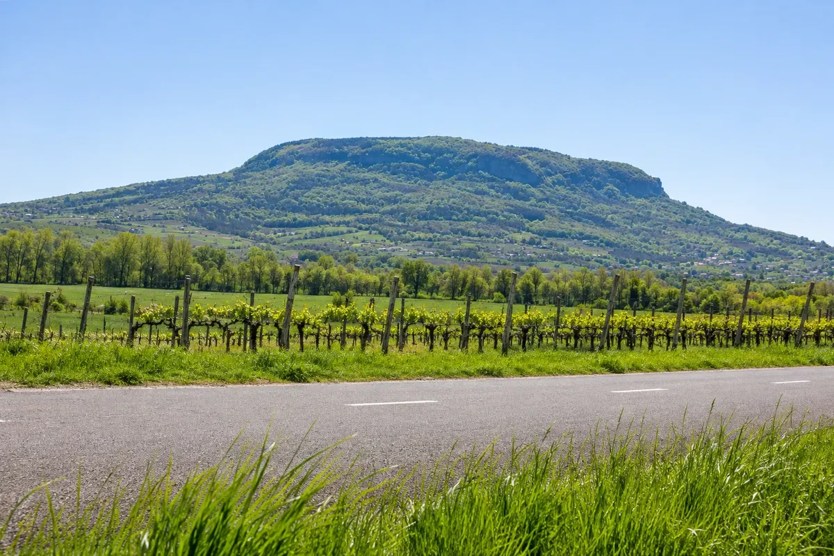
In the photo: Cycle path at the foot of Badacsony hill
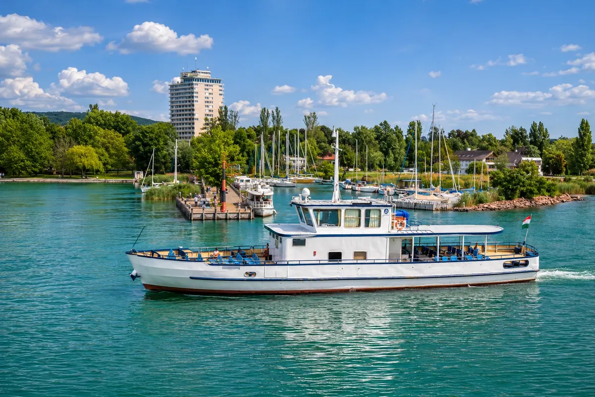
Illustrative images. The pictures in this guide are illustrations based on the real place, not photographs, and may differ from it.

The route
What the Cycling tour around Lake Balaton is
The Balatoni Bringakör circles Lake Balaton for about 200 km. The loop starts in Balatonfüred and heads west along the vineyard shore. After the Tihany peninsula, the Badacsony hill signals the stretch of old volcanic relief that runs beside the cycle route to Keszthely Bay.
Rounding the western tip, the landscape changes to reedbeds, resort streets and shallow beaches. In Fonyód, the harbor and the hill provide different viewpoints to observe the north side. Balatonboglár and Balatonlelle offer waterside stops. In Siófok, the water tower stands in the center near the canal that drains the lake.
The eastern stage rises in a few places near Balatonvilágos and Balatonakarattya and skirts the Balatonfűzfő inlet. From Balatonalmádi, the cycle path returns to Balatonfüred via Alsóörs and Csopak. The shoreline railways and the Szántód–Tihany ferry allow you to adapt the trip to fatigue and wind forecasts.
The map
8 cities along the way
Outlines: Natural Earth, public domain. Adapted by Cidade Turismo.
The journey
City by city
Distances and times are approximate: check before you set off.
-
 1 · Veszprém
Balatonfüred
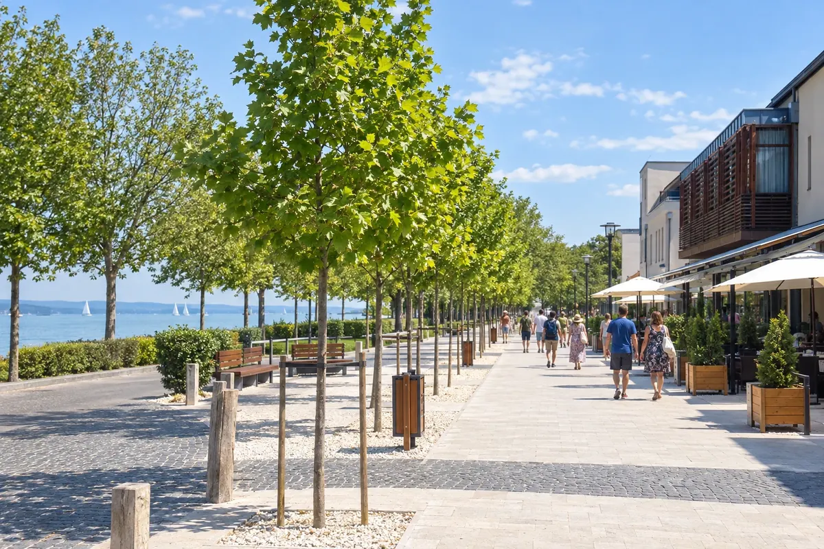
Begin on the Tagore promenade, between the gardens and the harbor. The waterfront is shared with pedestrians. If you need a bike or assistance, consult the BalatonBike365 point at Aranyhíd sétány and arrange the return before you depart.
→ Badacsonytomaj Ride west along the paved ring. Pass the access to the Tihany peninsula, continue through Örvényes, Balatonudvari, Zánka and Révfülöp. There are sections next to the road and access points to towns where the cycle path moves away from the water. Badacsony hill begins to dominate the landscape as you approach.
-
 2 · Veszprém
Badacsonytomaj
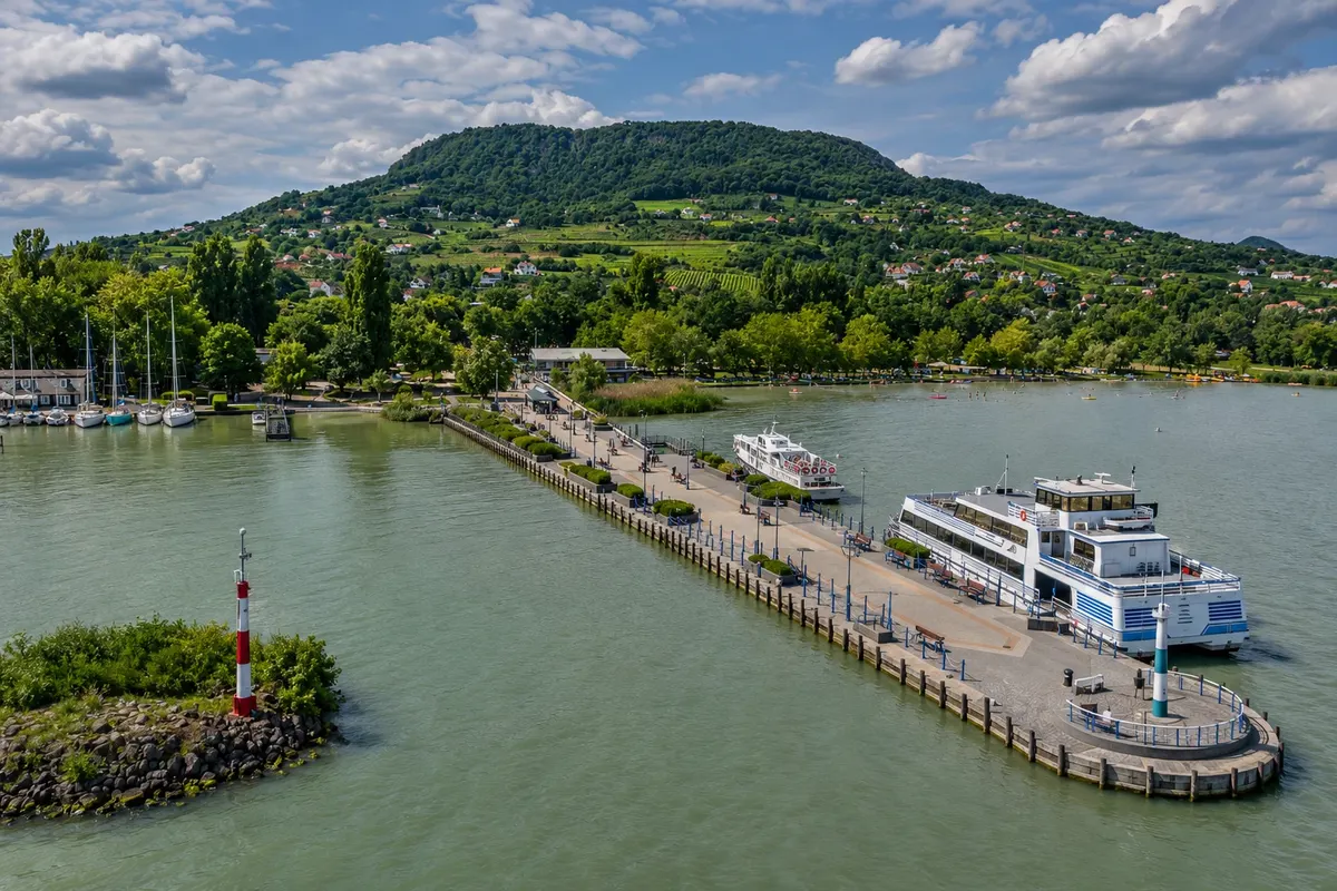
Take a break near the port of Badacsony, the municipality neighborhood where vineyards climb the volcanic slope. The Kisfaludy lookout is at the summit. To visit it, leave your bike locked at the lower part or in an authorized spot near the trailhead and go up on foot.
→ Keszthely Follow the foot of the vineyards toward Badacsonytördemic. The ring goes through the Szigliget area and continues via Balatonederics, Balatongyörök and Gyenesdiás. The volcanic relief gives way to forested slopes on the western tip before the Keszthely waterfront.
-
 3 · Zala
Keszthely
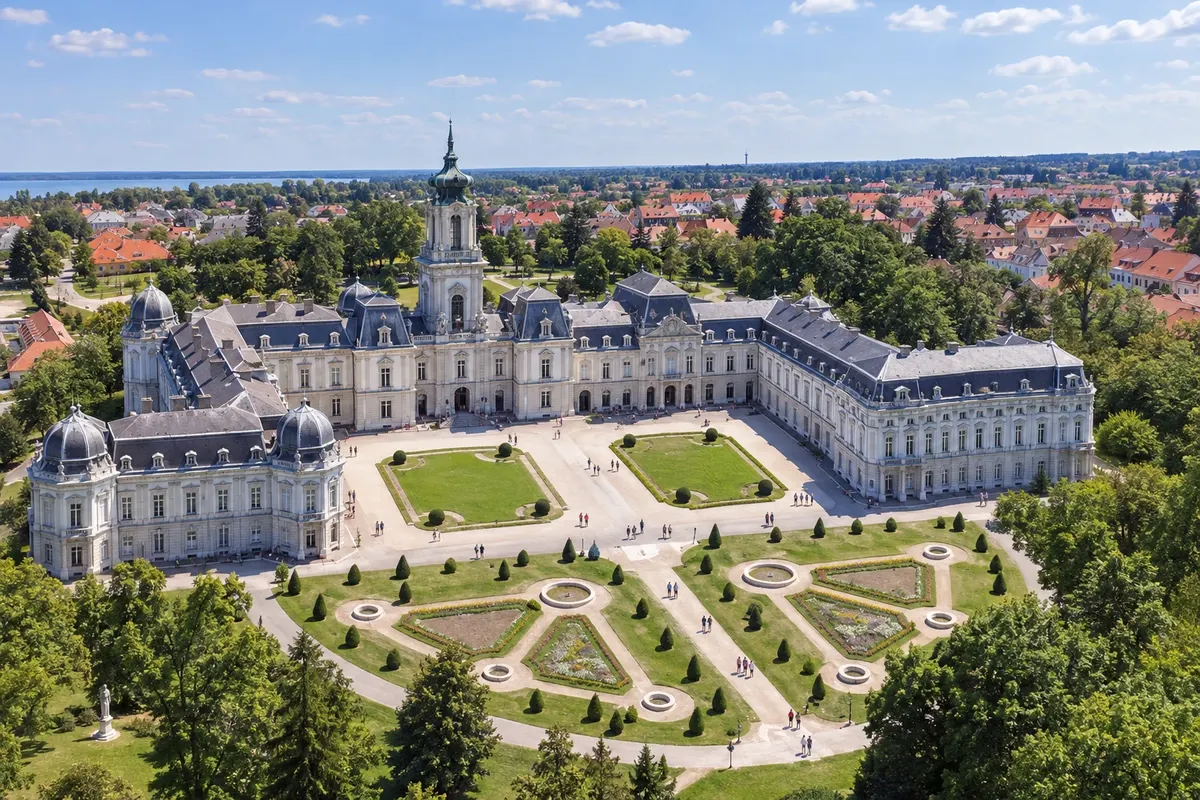
The waterfront and the pier sit at the bottom of the western bay. To visit the Festetics Palace, leave the ring toward the town center and check the palace’s exhibition opening days. It’s a good overnight point before rounding the western tip.
→ Fonyód The ring skirts the western extreme via Fenékpuszta and reaches the southern shore at Balatonberény. Near low-lying areas and reedbeds, follow the arrows to Balatonmáriafürdő and Balatonfenyves. Bike lanes and local streets alternate, with the railway running parallel for part of the stage.
-
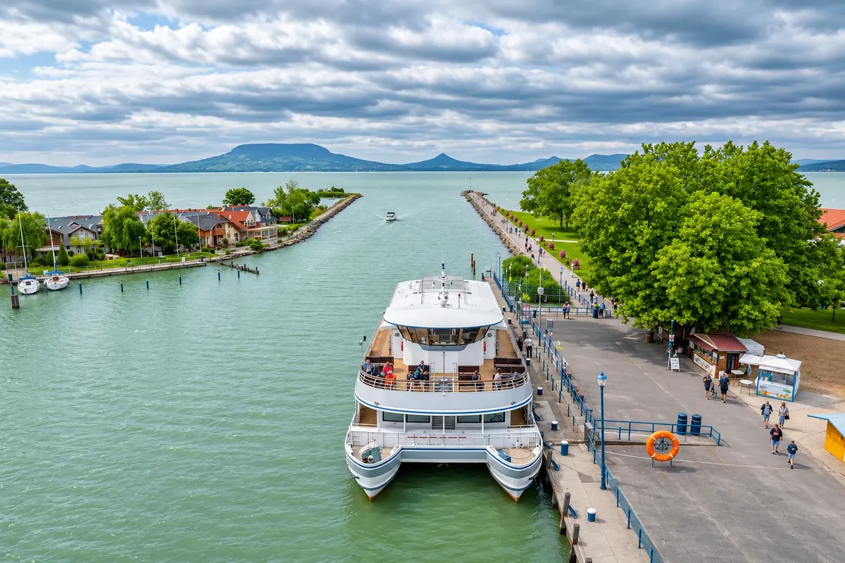 4 · Somogy
Fonyód
From the harbor you can see Badacsony’s tablelike profile on the other side of the lake. For a wider view, leave your bike in town and climb to the Sipos-hegyi lookout on foot. The tower is closed from December to March, according to the municipal calendar.
→ Balatonboglár Leave the harbor heading east. The connection goes through Fonyódliget and mixes cycle paths with resort streets. Openings in the vegetation reveal the hills of the northern shore. Arrival in Balatonboglár includes access to the waterfront and Platán Square.
-
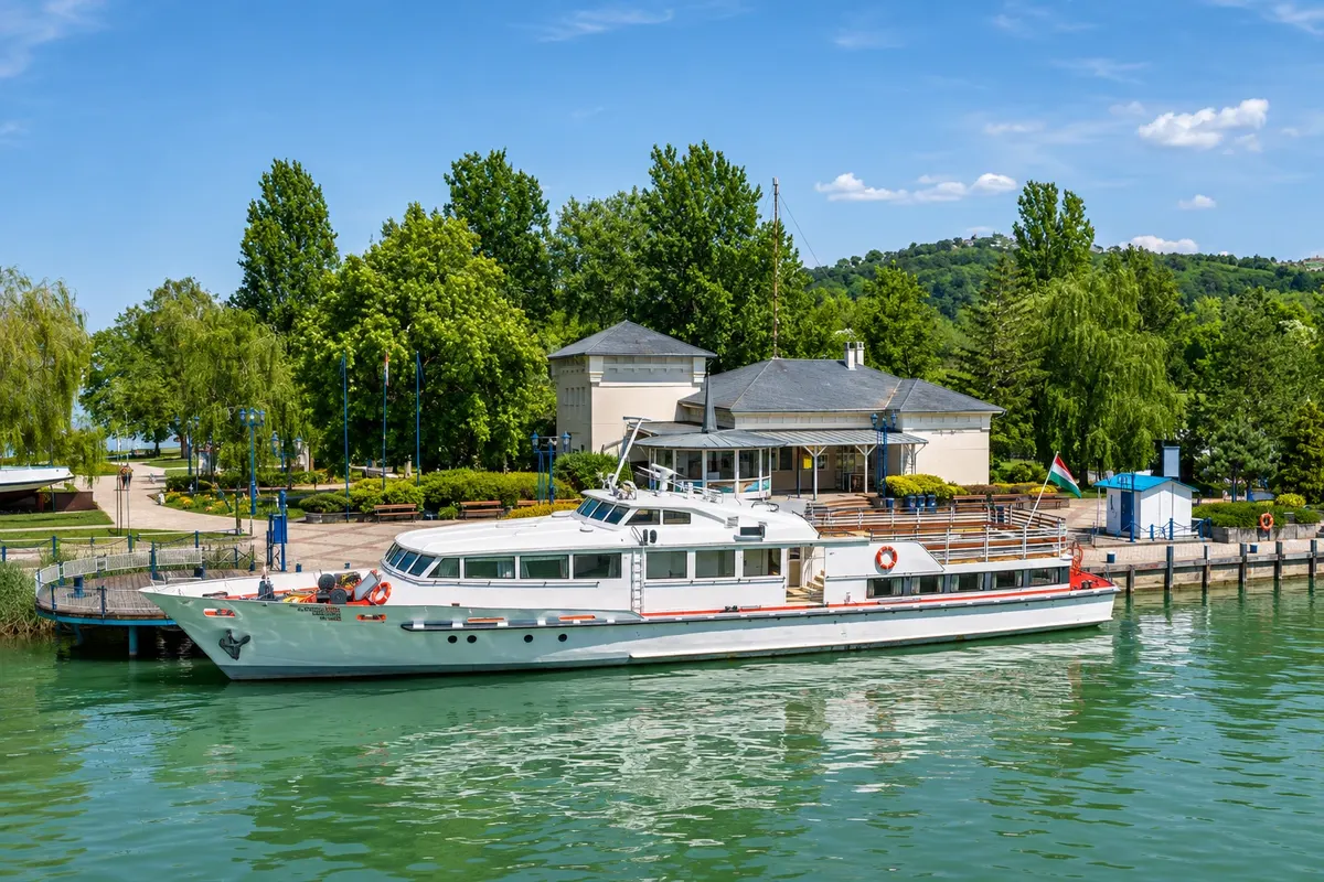 5 · Somogy
Balatonboglár
The cycle path passes beside the Platán beach. Use the park area for a shaded break. Bathing season is authorized normally in summer, between June and August. Check the season dates and notices at the entrance.
→ Balatonlelle Continue east along the urban section of the ring, with street crossings through rows of holiday houses. The paved strip follows the lake. In Balatonlelle, use local signs to exit toward the pier and Napfény beach.
-
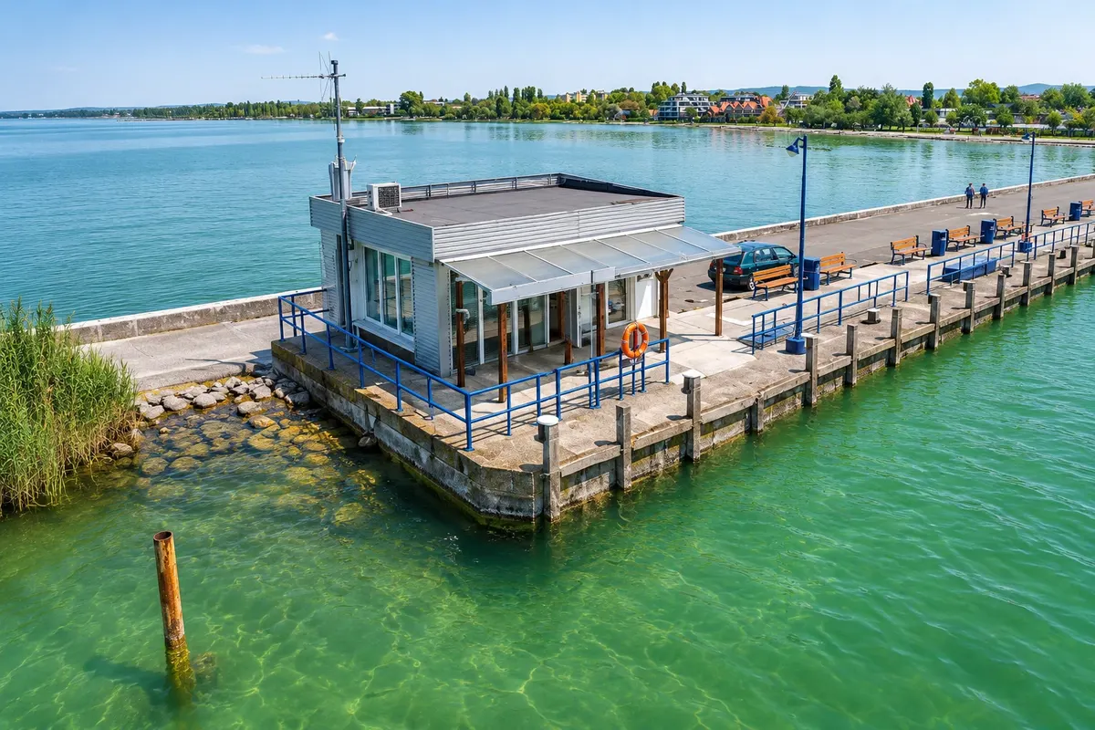 6 · Somogy
Balatonlelle
The pier stands next to Napfény beach, where the sandy shore slopes gently into the water. Check with the municipality to know when pools and beach services operate. The railway station is in the central area, a few blocks from the shore.
→ Siófok Follow Balatonszemes and Balatonszárszó, alternating cycleable stretches and quiet streets. After Balatonföldvár, the Szántódrév ferry access allows shortening the trip. For the full loop, continue via Zamárdi and enter Siófok on the southern shore.
-
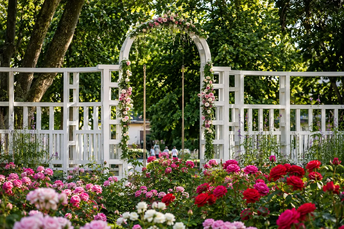 7 · Somogy
Siófok
Cross the Sió canal and leave the waterfront toward Fő tér to see the old water tower. The station is an option to interrupt the route on the southern shore. Check the bike carriage capacity before relying on that boarding.
→ Balatonalmádi Leave Siófok on the east side toward Balatonvilágos. Where the shores meet there are short climbs in the Balatonvilágos and Balatonakarattya area. The ring passes Balatonkenese and skirts the Balatonfűzfő inlet before arriving at Balatonalmádi.
-
 8 · Veszprém
Balatonalmádi
The ring’s kilometer-zero marker is in this town. Take a break in Szent Erzsébet liget, next to the pier, or at Wesselényi beach when services are operating. To close the loop, follow signs for Káptalanfüred, Alsóörs and Csopak until you reach the Balatonfüred waterfront again.
How many days
4 to 5 days. Book nights in Badacsony or Keszthely, in the Fonyód or Balatonboglár area, and in Siófok, according to your pace and visits.
Best time to go
May, June and September combine mild temperatures and less crowding than July and August. March and April tend to be windier. In late August and early autumn winds are usually weaker. Check gusts and thunderstorm warnings before you set out.
The seasons shown are the most usual ones; nature doesn't always follow the calendar.
How to travel it
Start on the Balatonfüred waterfront. There is signposted parking in the Aranyhíd sétány sector. Follow the Balatoni Bringakör signs. From Balatonalmádi, return via Káptalanfüred, Alsóörs and Csopak. To shorten the route, board with your bike at Szántódrév to Tihanyrév and check the BAHART departure times and wind notices. On MÁV trains, check bike transport rules and reserve a spot when required.
Who it's for
For cyclists prepared to ride for several days. The ring is mostly paved and has little elevation change for most of the route, with short climbs in the east. There are cycle paths, shared streets and crossings. Side trips to viewpoints are steeper. Bring a helmet, lights, water, a windbreaker, a lock and a repair kit.
Length
About 200 km
Your questions
Frequently asked questions about Cycling tour around Lake Balaton
How many days should you allow for the Lake Balaton loop?
Plan four to five days. The fifth day lets you spend more time in Keszthely or make the eastern stage shorter if it’s windy.
Where can I rent a bicycle in Balatonfüred?
Check BalatonBike365 Port on Aranyhíd sétány. Agree on size, dates, pickup and return before you travel, especially in July and August.
How can I shorten the bike route?
Leave the loop at Szántód and board at Szántódrév to Tihanyrév. The ferry carries bicycles. From disembarkation, follow the signs back to Balatonfüred. Check BAHART on the day, since wind and lake conditions can change operations.
Can I take my bicycle on the return train?
Yes, depending on the service. Look for the bicycle transport symbol, the extra ticket and the mandatory reservation note in the MÁV journey planner. Confirm the rules for replacement buses in case of works.
Is the circuit completely flat?
Much of it runs on low terrain along the lake. Between Balatonvilágos and Balatonakarattya there are short climbs. To reach the viewpoints above Badacsony or Fonyód, it’s better to go on foot.
In which months does the wind usually cause the most trouble?
March and April coincide with early spring, the period that’s generally windiest. September usually has less wind, but check the local forecast and gust warnings before each stage.
Beyond the guide


