

 Brazil
 Antarctica
 Argentina
 Bolivia
 Chile
 Colombia
 Ecuador
 Guyana
 French Guiana
 Falkland Islands (Malvinas)
 Paraguay
 Peru
 Suriname
 Uruguay
 Venezuela
 Germany
 Austria
 Belgium
 Croatia
 Denmark
 Slovakia
 Slovenia
 Spain
 Finland
 France
 Greece
 the Netherlands
 Ireland
 Iceland
 Italy
 Luxembourg
 Norway
 Poland
 Portugal
 the United Kingdom
 the Czech Republic
 Sweden
 Switzerland
 Turkey
 Bermuda
 Canada
 the United States
 Greenland
 Mexico
 Saint Pierre and Miquelon
 the Dominican Republic
 Japan
 South Africa
 Egypt
 Australia
 Fiji
 New Zealand
 Papua New Guinea
Route · Pest · Nógrád
Blue Trail hike from Nagymaros to Nógrád
A 41 km crossing on the Blue Trail OKT-17 stage, from the Danube shore into the Börzsöny forests and summits.
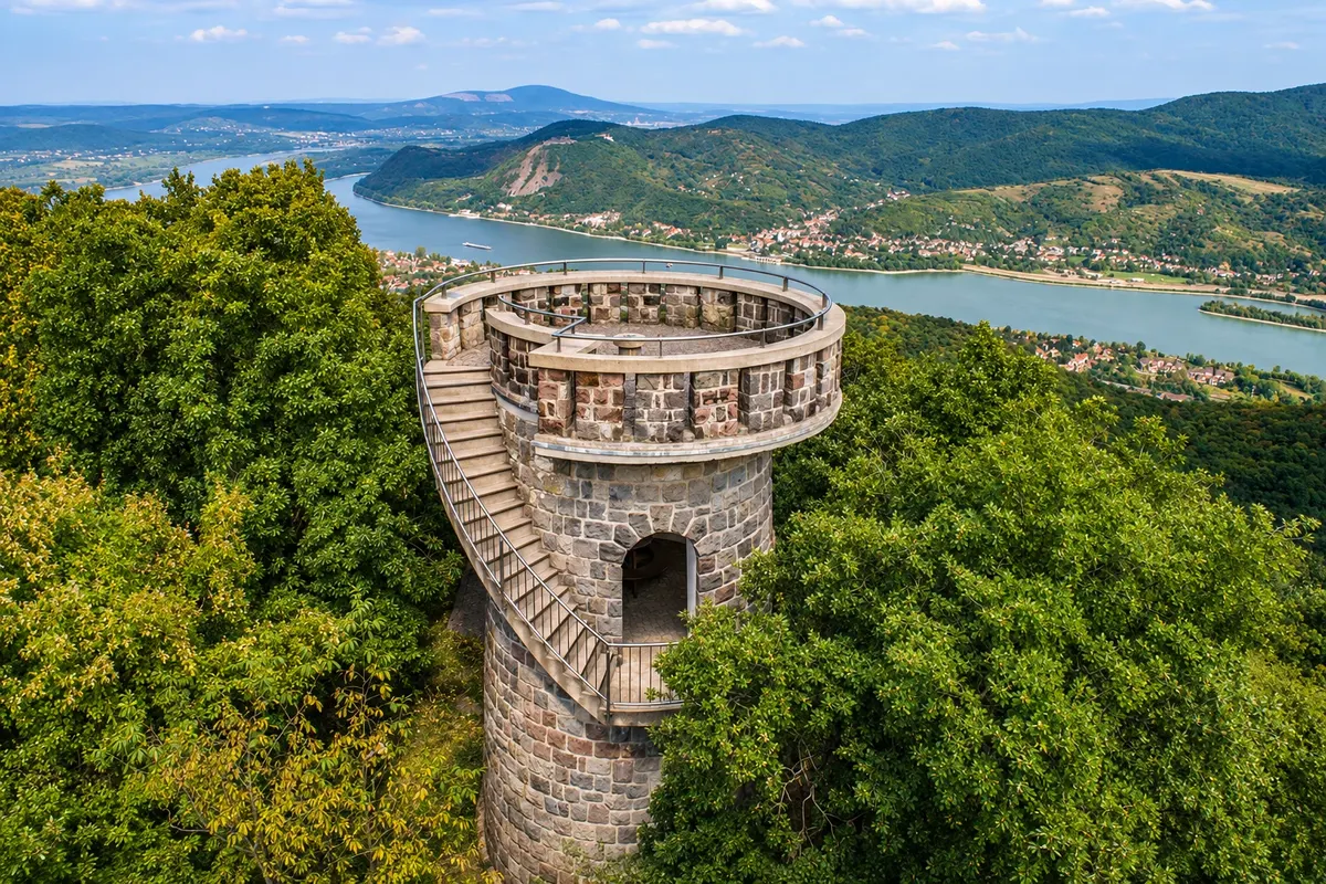
In the photo: Julianus lookout on Hegyes-tető, above the Danube bend.
Illustrative images. The pictures in this guide are illustrations based on the real place, not photographs, and may differ from it.

The route
What the Blue Trail hike from Nagymaros to Nógrád is
The OKT-17 stage of the National Blue Trail starts in Nagymaros by the Danube and finishes at Nógrád station. The hike climbs to Hegyes-tető, where the Julianus lookout opens a view over the river bend. After that, the trail leaves the riverside for the Börzsöny woods and passes through Törökmező and Kóspallag.
From Kisinóc the longest climb begins, on dirt roads and forest paths, up to Nagy-Hideg-hegy and the ridge that leads to Csóványos. At 938 meters, Csóványos is the highest point of the Börzsöny. From there the crossing descends through the forest, passes the Foltán-kereszt junction and leaves the wood before reaching Nógrád.
It is 41 km, with 1,745 meters of ascent and 1,635 meters of descent accumulated. The reference pace is 13 hours for the entire stage. Split the route into two days to allow time for breaks, stampings, and transport connections.
The map
2 cities along the way
Outlines: Natural Earth, public domain. Adapted by Cidade Turismo.
The journey
City by city
Distances and times are approximate: check before you set off.
-
 1 · Pest
Nagymaros
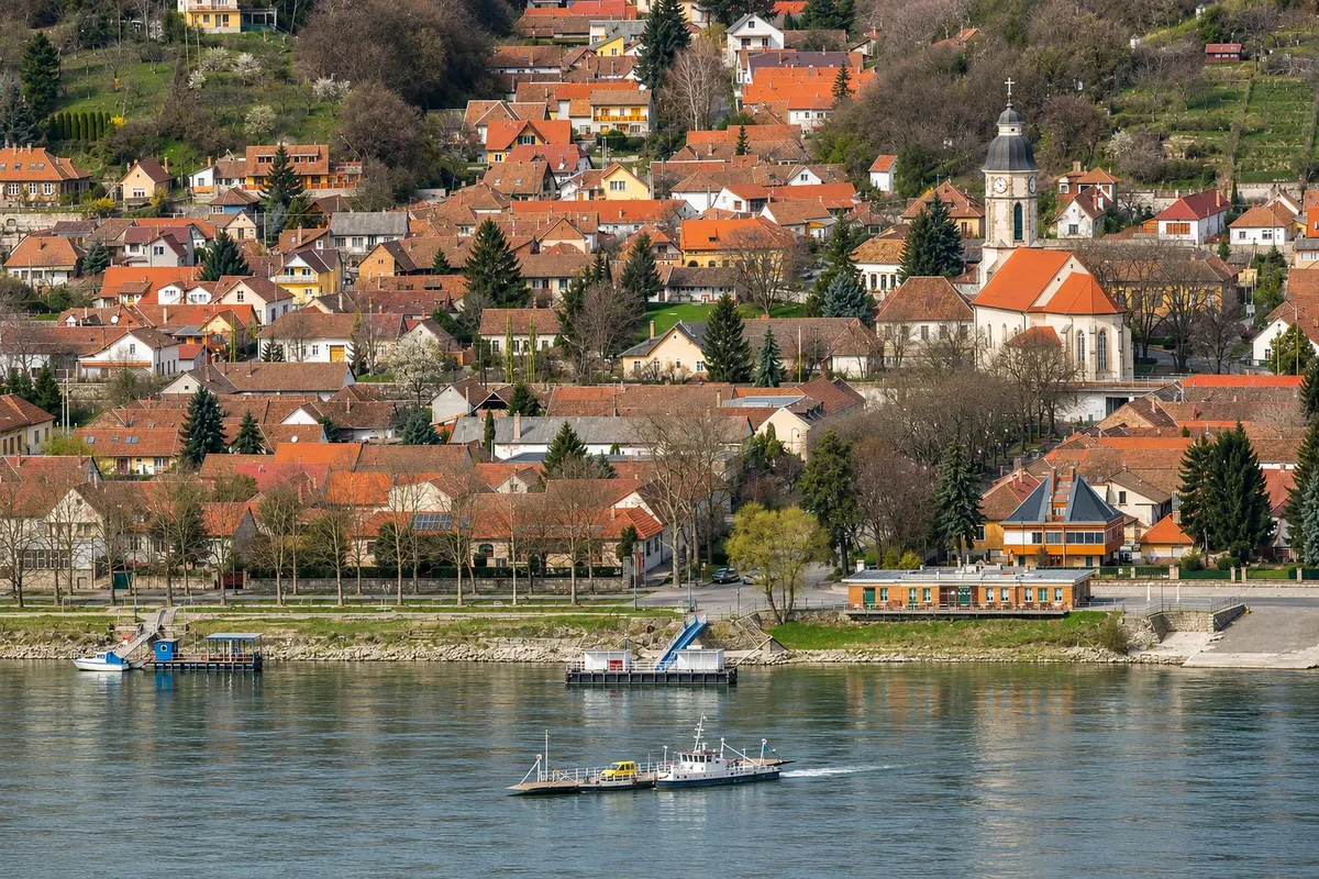
Get off at Nagymaros-Visegrád and look for the stamp box at the station. The trail leaves the Danube valley toward Hegyes-tető. If arriving by car, look for the P+R signs by the station and plan your return via Vác.
→ Nógrád about 41 km 13 h of hiking The blue mark climbs from Nagymaros to the Julianus tower and continues via Törökmező toward Kóspallag. From Kisinóc the trail gains height to the Nagy-Hideg-hegy shelter. The ridge leads to Csóványos. The descent passes Foltán-kereszt before reaching the first streets of Nógrád.
-
 2 · Nógrád
Nógrád
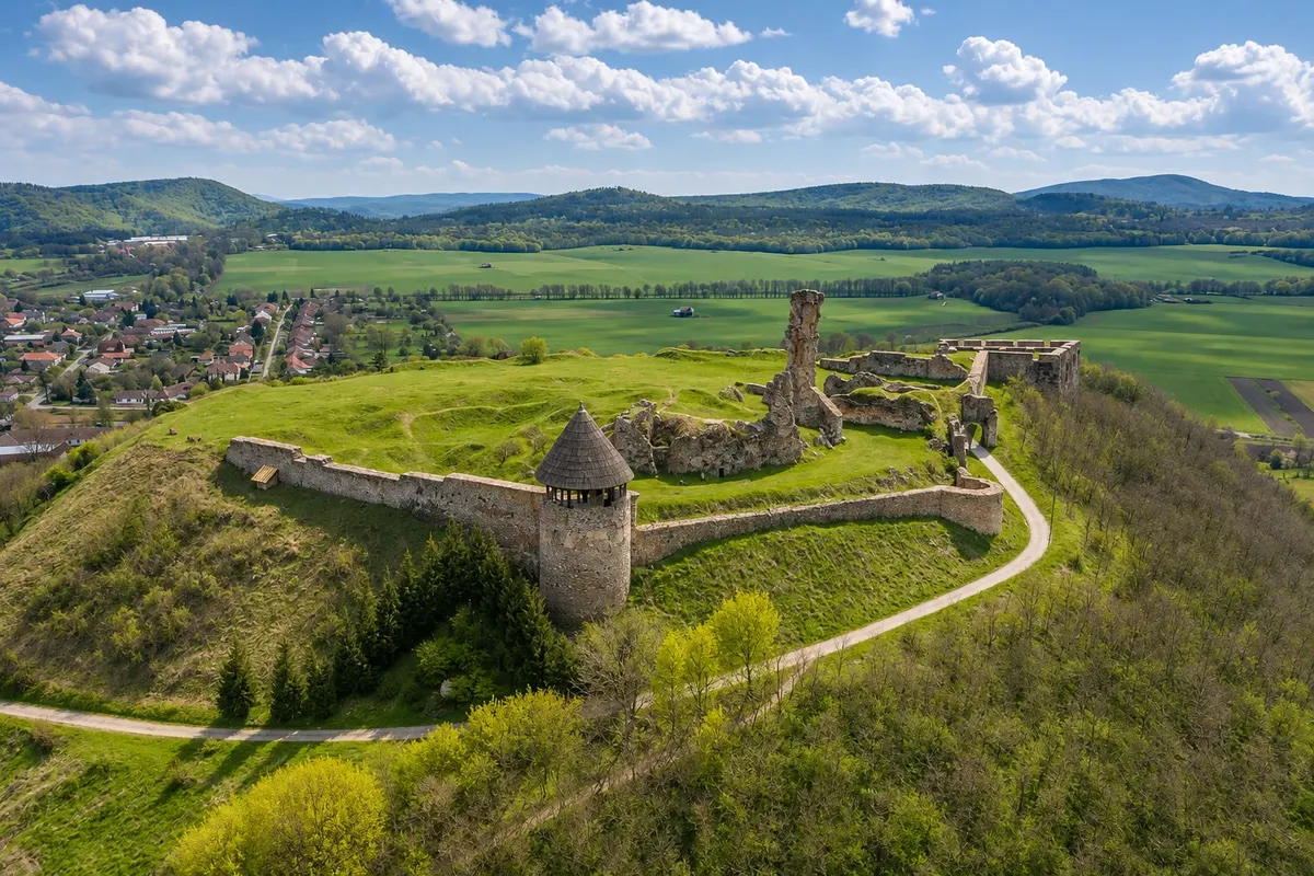
When exiting the wood, the castle hill marks the approach to the village. The ruins are on a short walking detour. The arrival stamp is on the Blue Trail board next to the station, from where trains depart to Vác.
How many days
2 days. Plan to split the days in Kisinóc. Take bus 353 to Kismaros to overnight off the trail and resume hiking the next day, or book accommodation in the area in advance.
Best time to go
From April to June and September to October, with generally milder temperatures. Between December and February, days are short and there may be ice or snow at the high points. Check trail conditions before you set out.
The seasons shown are the most usual ones; nature doesn't always follow the calendar.
How to travel it
Follow the blue stripe on a white background from Nagymaros-Visegrád station. In Kisinóc, check bus 353 schedules and stops. To return from Nógrád, take line 75 to Vác and change to line 70 toward Nagymaros-Visegrád. Check the last connections and any replacement buses before you go. Carry water for each day, food, an offline map, a headlamp/torch, a jacket and trail footwear.
Who it's for
For hikers fit enough for two long days and experienced in mountain trails. There are steep climbs, dirt roads, roots and loose rock. In rain, the footing can become slippery.
Length
About 41 km
Your questions
Frequently asked questions about Blue Trail hike from Nagymaros to Nógrád
What is the distance and elevation change between Nagymaros and Nógrád?
The stage is 41 km and totals 1,745 meters of ascent and 1,635 meters of descent. The reference pace is 13 hours. Allow two days to hike with breaks.
Where can I split the hike into two days?
Kisinóc allows you to interrupt the crossing before the ascent to the high section. Check which runs of bus 353 serve the Kisinóci turistaház stop on your outbound and return days. If you choose to sleep in the Nagy-Hideg-hegy shelter, reserve a spot and plan for a longer first day.
Where can I stamp the Blue Trail booklet?
Stamp at the official points in Nagymaros, Julianus, Törökmező, Kisinóc, Nagy-Hideg-hegy, Csóványos and Nógrád. Bring your booklet and an ink pad for the stamp boxes.
Can I refill water in the mountains?
Start with enough water for the day. Check availability at shelters and carry a reserve. Springs can have irregular flow and untreated water should not be drunk.
How do I get back from Nógrád to Nagymaros without a car?
At Nógrád station, board the line 75 train to Vác. Change to line 70 toward Szob and get off at Nagymaros-Visegrád. Check the operator for any replacement buses and confirm the last connection.
Beyond the guide


