


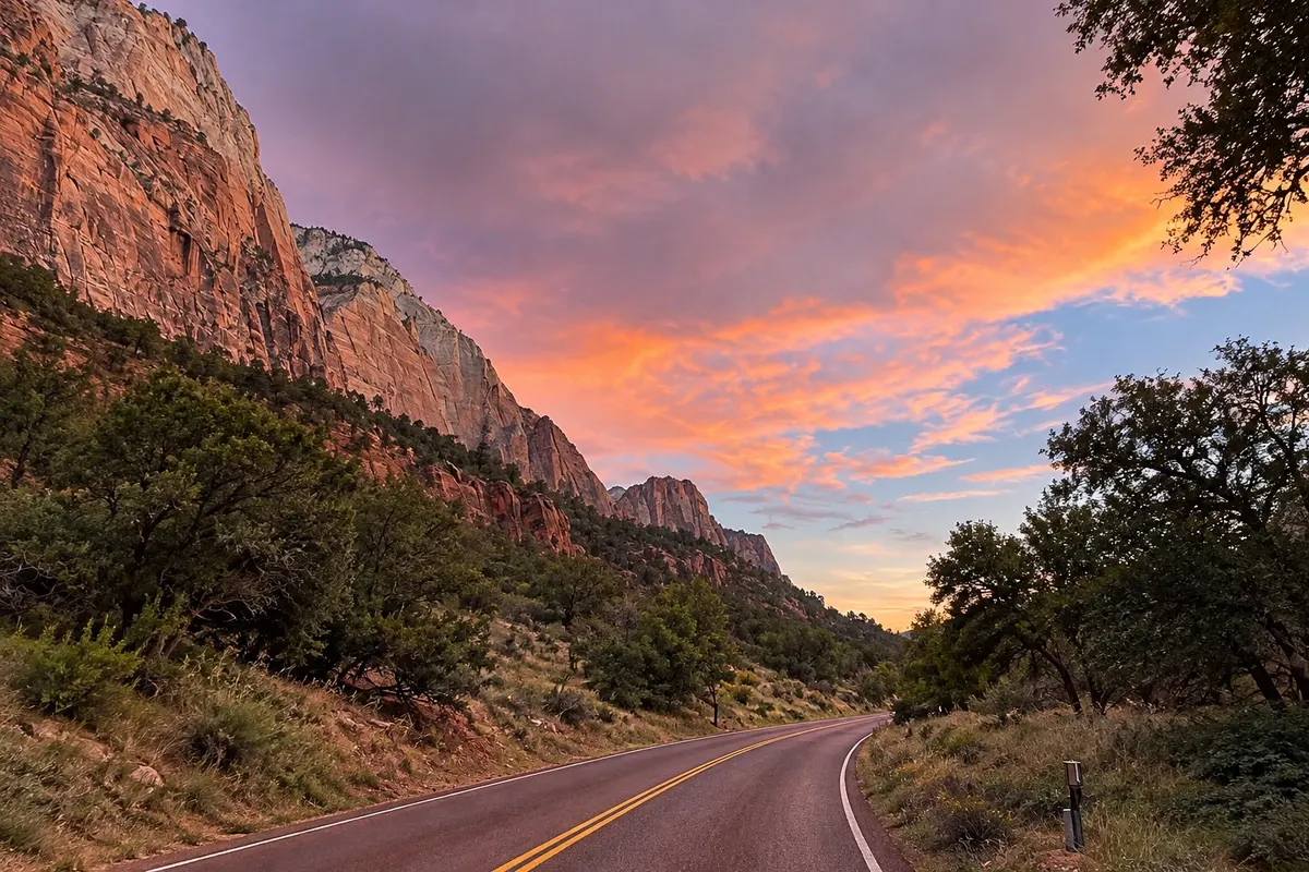
Panoramic road
Zion Canyon Scenic Drive
The roughly 10 km road that runs the main Zion Canyon along the Virgin River, between sandstone cliffs. For much of the year it is accessible only by park shuttle.

 Search
 Brazil
 Argentina
 Bolivia
 Chile
 Colombia
 Ecuador
 Guyana
 French Guiana
 Falkland Islands (Malvinas)
 Paraguay
 Peru
 Suriname
 Uruguay
 Venezuela
 Germany
 Austria
 Belgium
 Croatia
 Denmark
 Slovakia
 Slovenia
 Spain
 Finland
 France
 Greece
 the Netherlands
 Hungary
 Ireland
 Iceland
 Italy
 Luxembourg
 Norway
 Poland
 Portugal
 the United Kingdom
 the Czech Republic
 Sweden
 Switzerland
 Turkey
 Bermuda
 Canadathe United States
 Mexico
 the Dominican RepublicTurkey
 South Africa
 Egypt
 Australia
 Fiji
 New Zealand
 Papua New Guinea
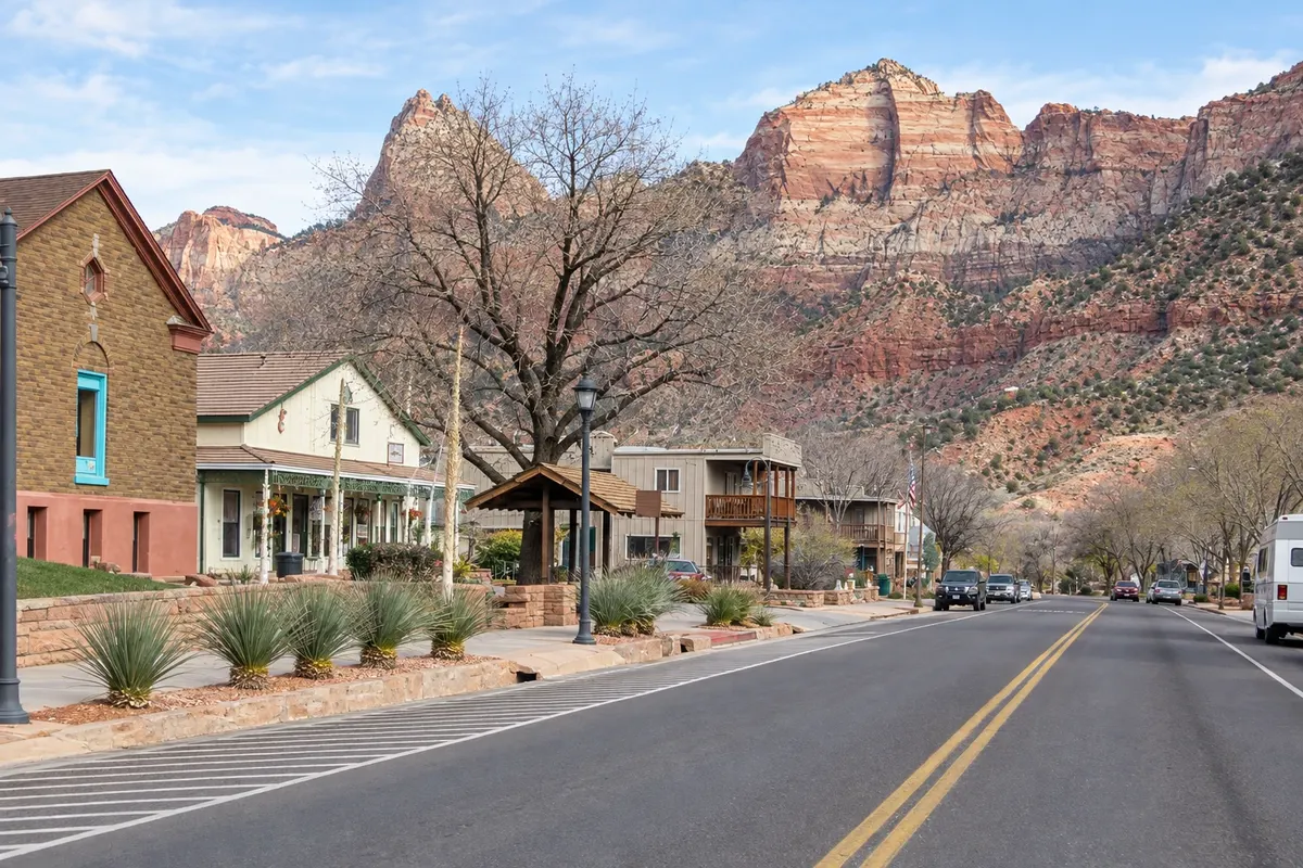
Utah · the United States
In the destination Zion and Bryce Canyon.
In the photo: Street in Springdale beside Zion’s cliffs
Illustrative images. The pictures in this guide are illustrations based on the real place, not photographs, and may differ from it.
The city
Small town at the gateway to Zion National Park, in the Virgin River valley, surrounded by the canyon's sandstone cliffs. It offers hotels, restaurants and gear shops and a local bus that goes to the park entrance, from where the scenic road shuttles and the trails to The Narrows and Angels Landing start.
There's no accommodation in the guide yet in Springdale.
There are no restaurants in the guide yet in Springdale.
Know a good one? Recommend it to ushow to get there · how many days · itinerary · questions
The local experience
The roughly 10 km road that runs the main Zion Canyon along the Virgin River, between sandstone cliffs. For much of the year it is accessible only by park shuttle.
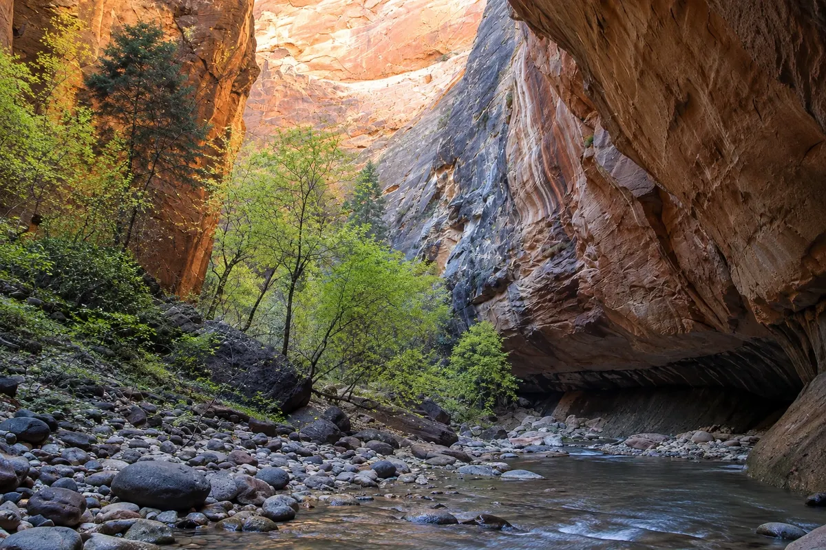
The narrowest stretch of Zion Canyon, where the trail becomes the Virgin River itself, between cliffs hundreds of meters high. You walk in the water; no permit is required for the upstream route starting from the road end.
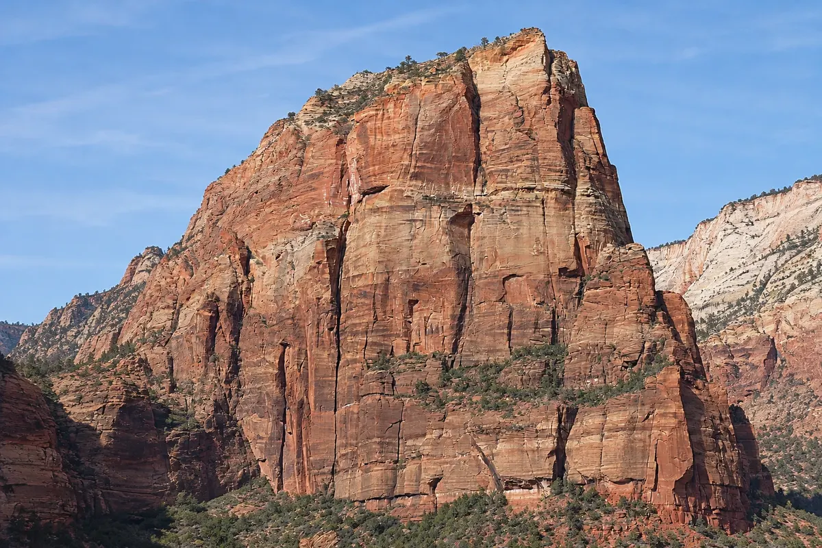
Steep trail up to the top of a rock ridge in the middle of Zion Canyon, with sections of chains over cliffs. The final section requires a permit issued by lottery.