

 Brazil
 Argentina
 Bolivia
 Chile
 Colombia
 Ecuador
 Guyana
 French Guiana
 Falkland Islands (Malvinas)
 Paraguay
 Peru
 Suriname
 Uruguay
 Venezuela
 Germany
 Austria
 Belgium
 Croatia
 Denmark
 Slovakia
 Slovenia
 Spain
 Finland
 France
 Greece
 the Netherlands
 Hungary
 Ireland
 Iceland
 Italy
 Luxembourg
 Norway
 Poland
 Portugal
 the United Kingdom
 the Czech Republic
 Sweden
 Switzerland
 Turkey
 Canada
 Mexico
 the Dominican Republic
 South Africa
 Australia
 Fiji
 New Zealand
 Papua New Guinea
Before you go
Your trip to Sedona.
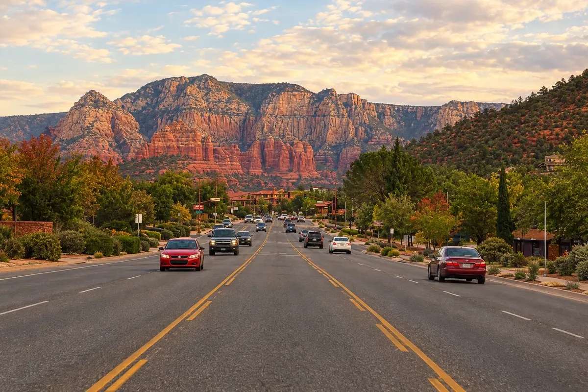
Illustrative images. The pictures in this guide are illustrations based on the real place, not photographs, and may differ from it.


Sedona – Arizona Destination Phoenix and Sedona (United States) — Phoenix; Scottsdale; Sedona about 190 km from Phoenix
How to get there
-
Flagstaff Pulliam Airport (FLG) Flagstaff · 50 km
-
Phoenix Sky Harbor International Airport (PHX) Phoenix · 190 km
Approximate distances. Check flights and bus, train or boat schedules before you travel.
About a two-hour drive from Phoenix Sky Harbor Airport via I-17 and State Route 179, and about 45 minutes from Flagstaff via State Route 89A, which descends Oak Creek Canyon. Airport shuttles and van services run from Phoenix.
How many days
Two days allow time for two or three short hikes, the Chapel of the Holy Cross and Oak Creek Canyon. With three days you can add longer hikes, such as Devil’s Bridge, and a jeep tour.
When to go
March through May and September through November usually have pleasant days. Summers are hot and monsoons bring heavy afternoon storms at times. Winters are chilly in the mornings, and snow dusting the red rocks occurs on some days.
The seasons shown are the most usual ones; nature doesn't always follow the calendar.
Do you need a car?
Tip: trails are spread out and trailhead parking fills early. Part of the year a city shuttle runs to the most popular trails, such as Cathedral Rock and Devil’s Bridge.
Suggested itinerary
An order that works
Built with the places on this page. No rush: it's paced so you have time to see them.
One day in Sedona
-
Morning
Bell Rock and the Chapel of the Holy Cross
Start early at Bell Rock, walking the loop trail around the formation. Then visit the Chapel of the Holy Cross, set between two rocks on State Route 179.
-
Afternoon
Oak Creek and Slide Rock
Drive up Oak Creek Canyon on State Route 89A and stop at Slide Rock State Park to see the creek’s natural water slides.
-
Evening
Sunset at Cathedral Rock
End the day at the end of the Cathedral Rock trail or at an Airport Mesa overlook to watch the rocks turn red.
2 days in Sedona
Day 1
-
All day
South-side rocks
Do Bell Rock, the Chapel of the Holy Cross and Cathedral Rock, finishing with sunset at one of the overlooks.
Day 2
-
All day
Devil’s Bridge and Oak Creek
Hike early to Devil’s Bridge, a sandstone arch, then head to Oak Creek and Slide Rock in the afternoon.
Check before you go. Opening hours and days change, and places may close for renovations, holidays or events. This itinerary is a suggestion from Cidade Turismo, not a commitment: plan yours by checking directly with each place you intend to visit.
Before you go
Frequently asked questions
Where to park for Sedona’s trails?
Trailhead parking for the most popular hikes fills early. Part of the year a city shuttle serves Cathedral Rock, Devil’s Bridge and other trails from larger parking lots. Many trails require a U.S. Forest Service parking pass.
What time zone is Sedona in?
Arizona: UTC-7 year-round, no daylight saving time.
What are Sedona’s vortices?
Sites such as Bell Rock, Cathedral Rock and Airport Mesa that many visitors consider centers of spiritual energy. The idea draws meditation and themed tours; for other visitors they are simply good trails and viewpoints.
Is Sedona on the way to the Grand Canyon?
Yes. Via State Route 89A up Oak Creek Canyon, Sedona is about 45 minutes from Flagstaff and roughly two and a half hours from the South Rim of the Grand Canyon.