

 Brazil
 Antarctica
 Argentina
 Bolivia
 Chile
 Colombia
 Ecuador
 Guyana
 French Guiana
 Falkland Islands (Malvinas)
 Paraguay
 Peru
 Suriname
 Uruguay
 Venezuela
 Germany
 Austria
 Belgium
 Croatia
 Denmark
 Slovakia
 Spain
 Finland
 France
 Greece
 the Netherlands
 Hungary
 Ireland
 Iceland
 Italy
 Luxembourg
 Norway
 Poland
 Portugal
 the United Kingdom
 the Czech Republic
 Sweden
 Switzerland
 Turkey
 Bermuda
 Canada
 the United States
 Greenland
 Mexico
 Saint Pierre and Miquelon
 the Dominican Republic
 Japan
 South Africa
 Egypt
 Australia
 Fiji
 New Zealand
 Papua New Guinea
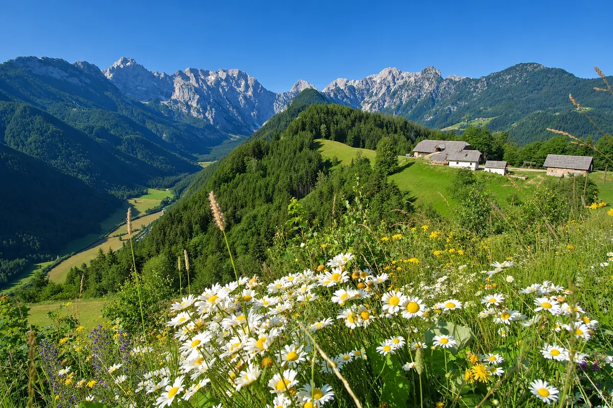
Route · Savinjska
Solčava Panoramic Road
From Luče to Solčava along the Savinja valley and, from there, via mountain farms and viewpoints to the entrance of the Logar Valley.
In the photo: Logar Valley seen from the Klemenšek slope.
Illustrative images. The pictures in this guide are illustrations based on the real place, not photographs, and may differ from it.

The route
What the Solčava Panoramic Road is
The trip starts in Luče and follows the Savinja River to Solčava, passing the Igla gorge and the access to Robanov kot, a glacial valley of meadows and trails. In Solčava the 21 km panoramic loop begins. The main route climbs the slopes of Podolševa, passes mountain farms and the Klemenšek viewpoint. From there you can see Logarska dolina, the Logar Valley, beneath the Kamnik–Savinja Alps. The road descends to the entrance of that glacial valley. A western branch leads to the slopes above Matkov kot.
The map
2 cities along the way
Outlines: Natural Earth, public domain. Adapted by Cidade Turismo.
The journey
City by city
Distances and times are approximate: check before you set off.
-
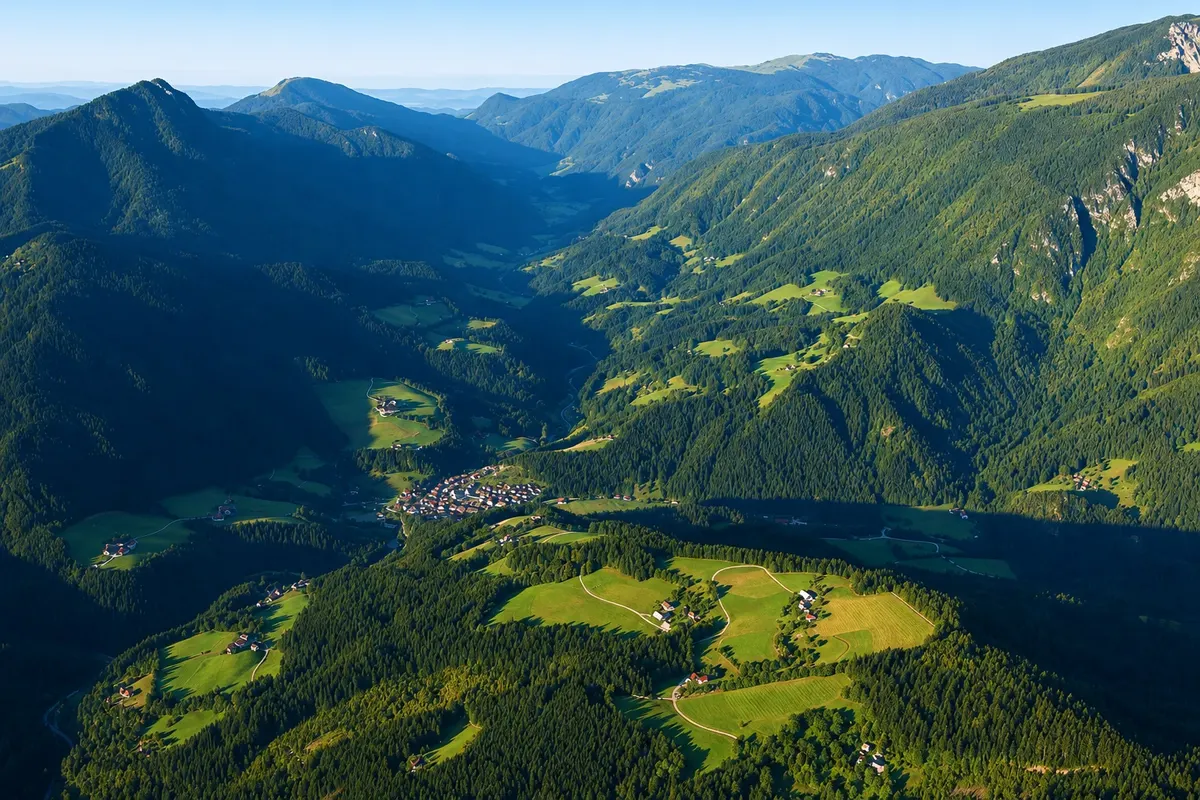 1 · Savinjska
Luče
Before continuing along the Savinja, walk through the old core near the church of Saint Lawrence. Leave the village by the valley road towards the Igla gorge. Further on, the connection to Solčava passes by the Robanov kot turnoff.
→ Solčava about 9 km Regional road 428 follows the Savinja along the valley floor. After the Igla gorge, the road passes the access to Robanov kot, crosses the Savinja by Rogovilec and rises gently to Solčava.
-
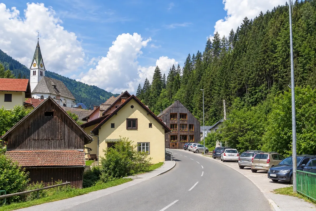 2 · Savinjska
Solčava
In the centre of Solčava are the Rinka Centre and the church of Mary of the Snows. The climb to Podolševa leads to viewpoints over Logarska dolina, the Logar Valley. The Matkov kot turnoff runs along the slope above another glacial valley.
How many days
Allow one day for the main route and stops at the viewpoints. With two days, combine the road with a hike in the Logar Valley or in Robanov kot.
Best time to go
From June to September to combine the viewpoints with hikes. Between September and October the slopes usually gain autumn colors.
The seasons shown are the most usual ones; nature doesn't always follow the calendar.
How to travel it
Leave Luče via regional road 428, which follows the Savinja to Solčava. In the centre of Solčava, follow signs for the main route towards Podolševa. The road climbs in switchbacks, alternates paved surface and a short gravel section, passes the Klemenšek viewpoint and descends to the entrance of the Logar Valley. Use the stopping areas at the viewpoints.
Who it's for
Travelers who enjoy mountain roads, landscape photography and valley hikes. The route also suits cyclists accustomed to climbs and gravel sections.
Length
About 30 km
Your questions
Frequently asked questions about Solčava Panoramic Road
Where does the Solčava Panoramic Road start?
The starting point of the main route is in the village of Solčava. It is also possible to join via the access to the Logar Valley.
Is the Solčava Panoramic Road fully paved?
Most of the main route is paved. There is a short gravel section and narrow curves on the mountain ascent.
From where can you see the Logar Valley from above?
At the Klemenšek slope viewpoint, the valley floor appears below the tree-covered slopes and the ridges of the Kamnik–Savinja Alps.
Is it possible to include Matkov kot on the outing?
Yes. The signposted 8 km branch runs along the Matkov kot slope and has observation points over the glacial valley.
Can you cycle the road?
Yes. The climb from Solčava is continuous and includes gravel surface. The route is suitable for those experienced in cycling on mountain roads.
Beyond the guide


