

 Argentina
 Bolivia
 Chile
 Colombia
 Ecuador
 Guyana
 French Guiana
 Falkland Islands (Malvinas)
 Paraguay
 Peru
 Suriname
 Uruguay
 Venezuela
 Germany
 Austria
 Belgium
 Croatia
 Denmark
 Slovakia
 Slovenia
 Spain
 Finland
 France
 Greece
 the Netherlands
 Hungary
 Ireland
 Iceland
 Italy
 Luxembourg
 Norway
 Poland
 Portugal
 the United Kingdom
 the Czech Republic
 Sweden
 Switzerland
 Turkey
 Canada
 the United States
 Mexico
 the Dominican Republic
 South Africa
 Australia
 Fiji
 New Zealand
 Papua New Guinea
Before you go
Your trip to Santa Vitória do Palmar.
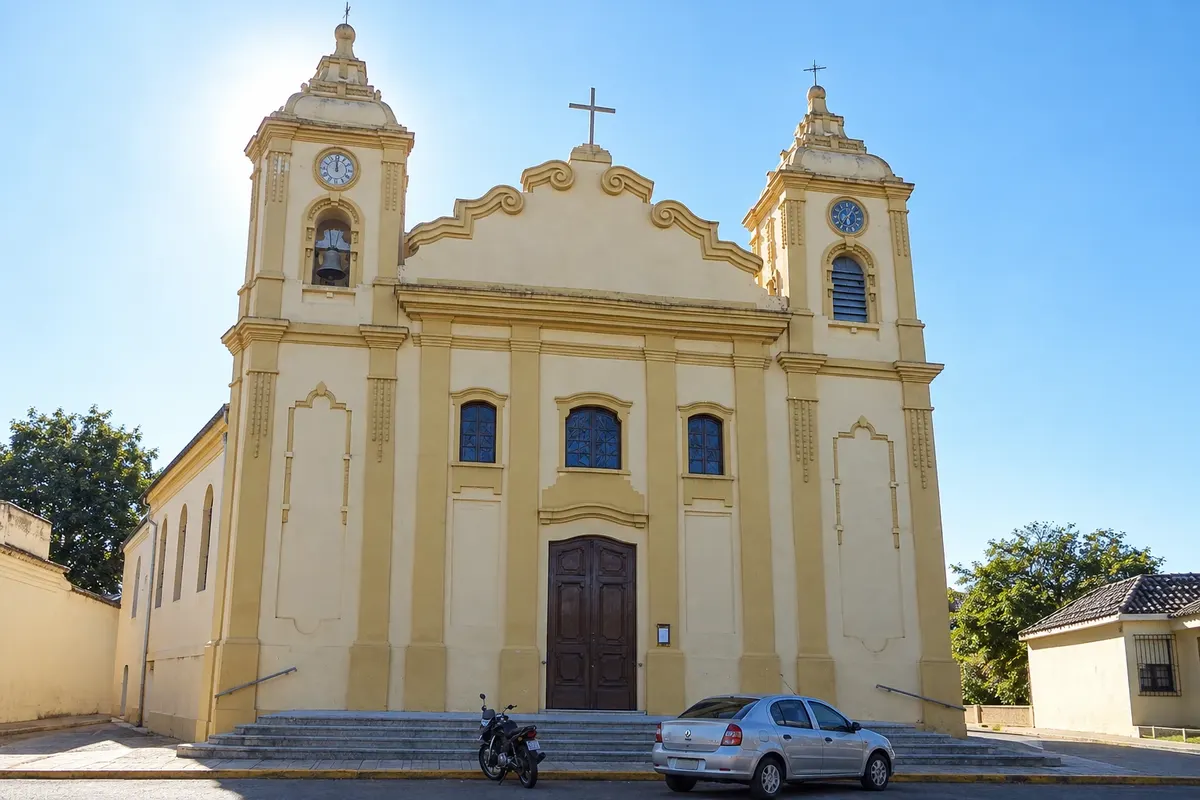
Illustrative images. The pictures in this guide are illustrations based on the real place, not photographs, and may differ from it.



Santa Vitória do Palmar – RS about 504 km from Porto Alegre
How to get there
-
Aeroporto Internacional de Pelotas (PET) Pelotas · 245 km
-
Rodoviária de Santa Vitória do Palmar Santa Vitória do Palmar · 1 km
Approximate distances. Check flights and bus, train or boat schedules before you travel.
From Porto Alegre, take BR-116 to Pelotas and then BR-471, which crosses the Taim Ecological Station; it’s about 500 km. Bus lines connect the city to Porto Alegre and Pelotas. The city’s airport does not have regular flights; the nearest airport with scheduled service is Pelotas.
How many days
Allow two days for the center, the two resorts and a visit to the border; a third day allows the guided visit to Taim, booked in advance.
When to go
The warm months, December to March, bring mild days and beach season; in winter it’s cold and very windy. It rains year-round. On the day of the eclipse, February 6, 2027, the city is likely to receive many visitors.
The seasons shown are the most usual ones; nature doesn't always follow the calendar.
Do you need a car?
Yes, if you want to explore the region. Barra do Chuí, Hermenegildo and Taim are far from the center, and public transport to the resorts is limited outside summer. Within town, the center is walkable.
Suggested itinerary
An order that works
Built with the places on this page. No rush: it's paced so you have time to see them.
One day in Santa Vitória do Palmar
-
Morning
Barra do Chuí
Head to Barra do Chuí, walk to the lighthouse and the breakwaters at the mouth of the Chuí stream, where the Brazilian coast ends.
-
Afternoon
Border Avenue
Cross Chuí and walk along the avenue that separates Brazil from the Uruguayan town of Chuy, with shops on both sides.
-
Late afternoon
Hermenegildo Beach
Return by road to Hermenegildo and end the day on the open-ocean beach, with the Atlantic wind.
2 days in Santa Vitória do Palmar
Day 1
-
Morning
Lighthouse and breakwaters
Start at Barra do Chuí, with the lighthouse and the breakwaters at the mouth of the stream that marks the border.
-
Afternoon
Hermenegildo
Spend the afternoon in Hermenegildo, the region’s traditional resort, walking along the stretch of sand.
Day 2
-
Morning
Butia palm groves and lagoons
Drive BR-471 northward, with butia palm groves by the roadside and views of lagoons and wetlands.
-
Afternoon
Taim Ecological Station
Take the prearranged visit to the Taim Ecological Station, with some driving and short walks to observe wetland birds.
Check before you go. Opening hours and days change, and places may close for renovations, holidays or events. This itinerary is a suggestion from Cidade Turismo, not a commitment: plan yours by checking directly with each place you intend to visit.
Before you go
Frequently asked questions
Is Santa Vitória do Palmar the southernmost city in Brazil?
The southernmost urban seat is Chuí, which separated from Santa Vitória do Palmar in 1995. The territory of Santa Vitória do Palmar includes Barra do Chuí, next to the southernmost point of the country.
How far is Santa Vitória do Palmar from Chuí?
About 25 km via BR-471.
Will Santa Vitória do Palmar see the 2027 eclipse?
Yes. On that date, the Sun should turn into a ring for a few minutes around midday when viewed from the town. Use proper eclipse glasses.
What are the beaches of Santa Vitória do Palmar?
The resorts of Barra do Chuí, by the border with Uruguay, and Hermenegildo, facing the Atlantic. The water is usually cold even in summer.