Far South of Rio Grande do Sul

RS · Brazil

Far South of Rio Grande do Sul

Santa Vitória do Palmar and Chuí, on the border with Uruguay: Barra do Chuí, Hermenegildo, the Mirim and Mangueira lagoons, and the path of the annular eclipse’s ring of fire on February 6, 2027.

South

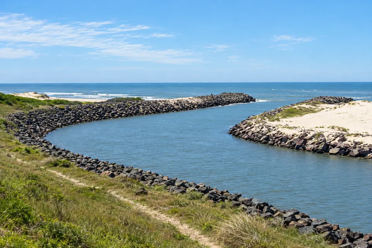
In the photo: Mouth of the Chuí stream, beside Barra do Chuí.

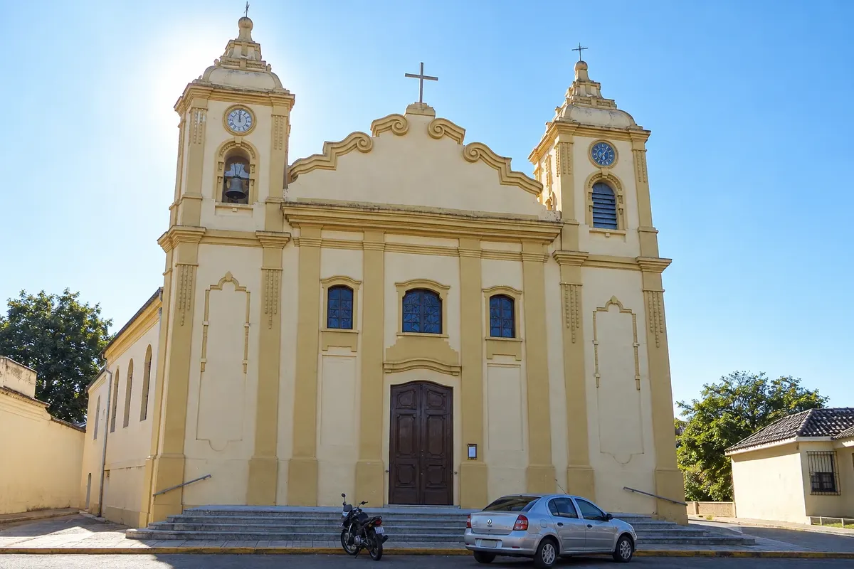
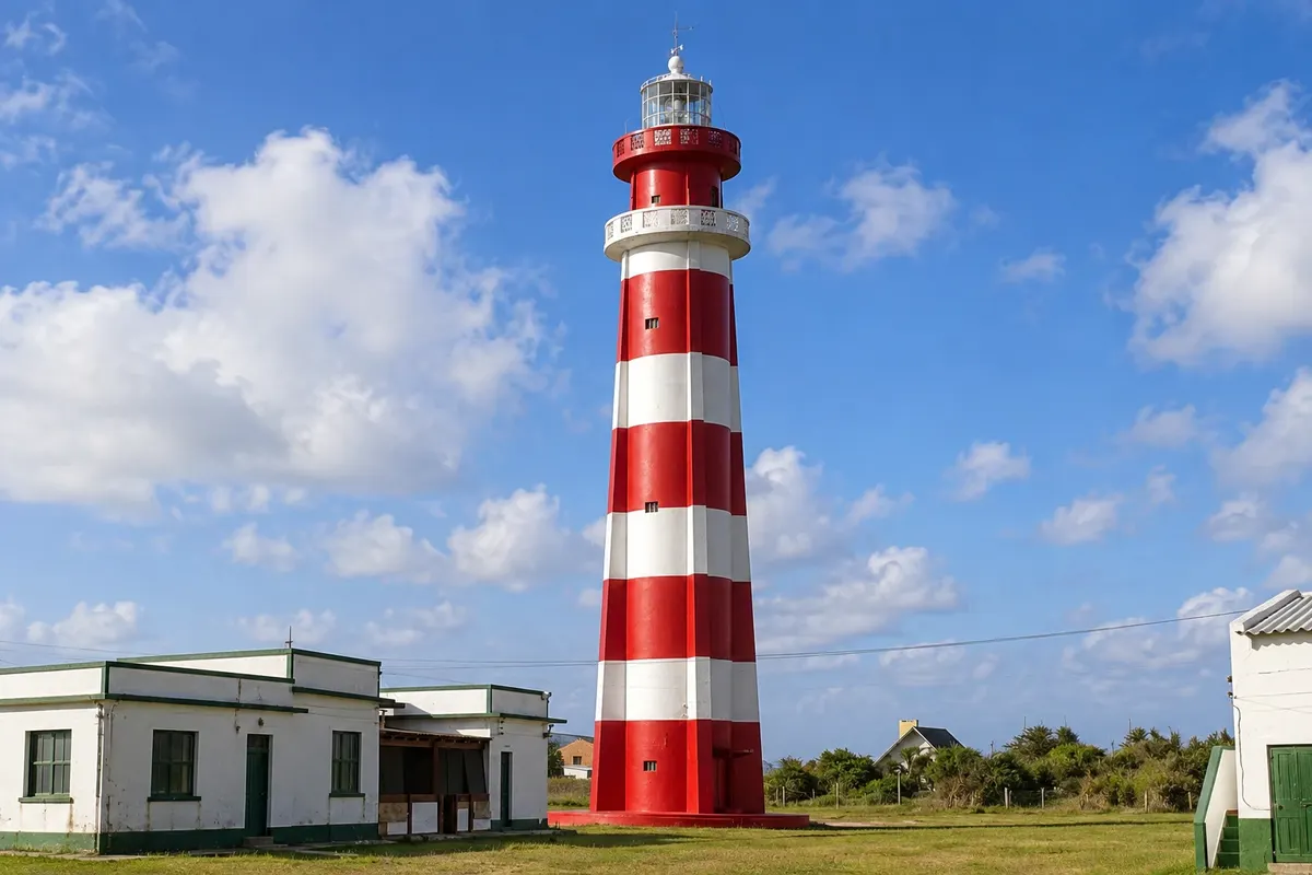
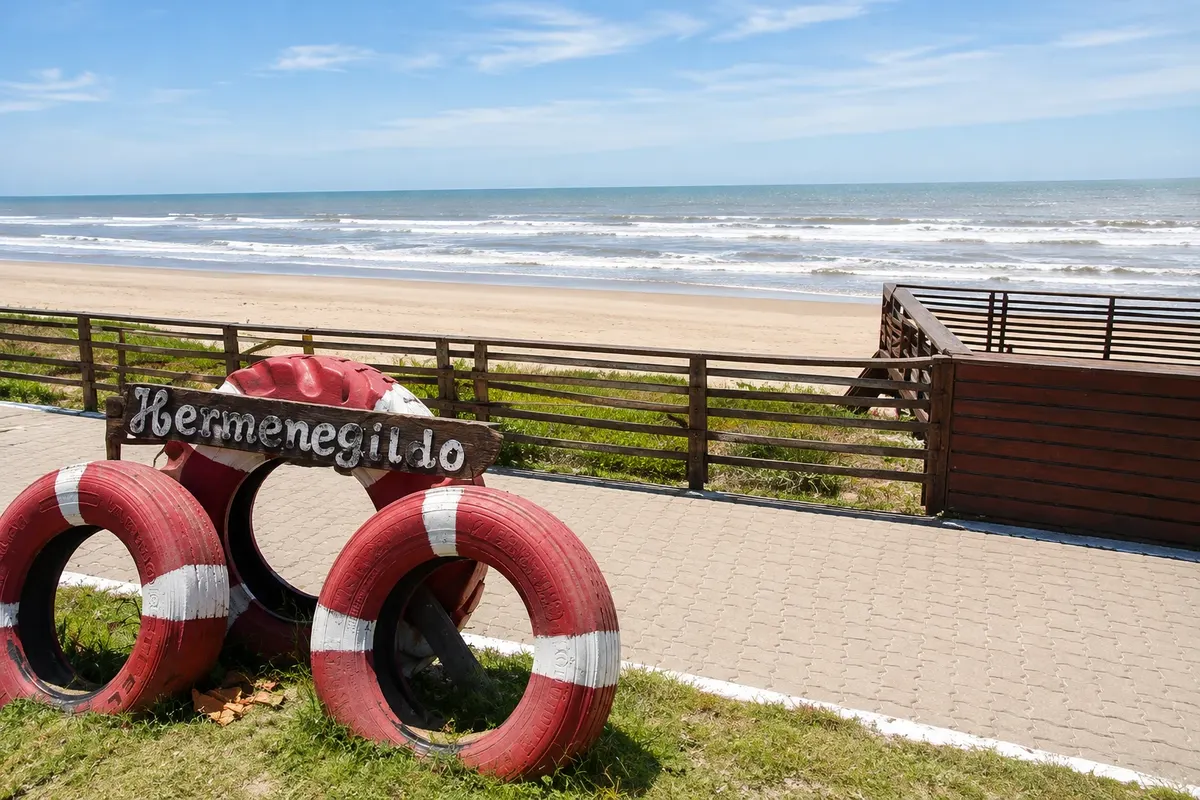
Illustrative images. The pictures in this guide are illustrations based on the real place, not photographs, and may differ from it.

Get to know the place

A region to enjoy
at your own pace.

The Far South of Rio Grande do Sul is the flat stretch of land between Lagoa Mirim and the Atlantic, on the border with Uruguay. Santa Vitória do Palmar, the main town, has a territory of about 160 km from north to south, with fields, wetlands, butia palm groves and long open-ocean beaches. Chuí, the neighboring town, sits right on the border, and BR-471 connects both to the rest of Brazil and to Uruguay.

The southernmost point of Brazil lies on a bend of the Chuí stream, near its mouth, beside the Barra do Chuí beach resort, where a lighthouse marks the end of the Brazilian coastline. Farther north, the Hermenegildo resort is the traditional beach for local residents. On the other side of the stream begins Uruguay.

The territory includes lagoons and wetlands that attract migratory birds. Lagoa Mirim, shared with Uruguay, and Lagoa Mangueira run along the coast, and to the north is the Taim Ecological Station, a protected wetland area cut by BR-471, with visits by appointment. Butia palm groves, native butia palms, appear along the roadside.

On February 6, 2027, an annular solar eclipse is expected to pass over the region: Santa Vitória do Palmar and Chuí are within the zone where the Sun will appear as a ring for a few minutes, near midday. Outside that zone, in the rest of Brazil, the eclipse will be partial.

This destination brings together 1 city: Santa Vitória do Palmar.

Share: WhatsApp
Traveler, share your experiences through photos Up to 5 photos of each place you visited.

One destination, many paths

The cities on this trip

Start with one city or combine several in your itinerary.

Where Far South of Rio Grande do Sul is The star marks the nearest capital, Porto Alegre.
Porto AlegreSanta Vitória do Palmar

Map: @svg-maps/brazil, CC BY 4.0

How to get there: Far South of Rio Grande do Sul

✈ Aeroporto Internacional de Pelotas (PET), in Pelotas · 245 km to Santa Vitória do Palmar

Santa Vitória do Palmar is about 500 km from Porto Alegre, via Pelotas and BR-471, which continues to Chuí. There are buses from Porto Alegre and from Pelotas. The nearest airport with regular flights is Pelotas, about 245 km away. From Montevideo, Uruguay, it’s about 370 km.

The local experience

Things to do in Far South of Rio Grande do Sul

Santa Vitória do Palmar · RS · Beach

Barra do Chuí Lighthouse

Resort at the mouth of the Chuí stream, on the border with Uruguay, next to the southernmost point of Brazil, with a lighthouse and stone groynes. It’s the first Brazilian beach for those coming from Uruguay.

Discover Barra do Chuí Lighthouse

Before you go

Practical information

A little planning leaves more time to enjoy the journey.

When to go

From December to March the weather is warmer but mild: the average of the hottest month is just above 22 °C, and this is beach season. Winter, from June to August, is cold and windy. It rains throughout the year. The annular eclipse on February 6, 2027 falls in the middle of summer, on a Carnival Saturday.

The seasons shown are the most usual ones; nature doesn't always follow the calendar.

How many days to stay

Two days allow you to see Santa Vitória do Palmar, Barra do Chuí, Hermenegildo and the border avenue in Chuí. With three days, you can include the Taim Ecological Station, with a prearranged visit, to the north. For the 2027 eclipse, arrive one day early.

Which city to stay in

Santa Vitória do Palmar has hotels and guesthouses in the center, a base for exploring the region. In summer, Barra do Chuí and Hermenegildo have vacation homes and some beachfront lodging. Chuí also has hotels near the border avenue. For the 2027 eclipse, book in advance.

Respect the place

Take your trash with you, follow the signs and support local businesses. In natural areas, follow the visiting guidelines.

Get your questions answered

Frequently asked questions about Far South of Rio Grande do Sul

What is the southernmost point of Brazil?

It is on a bend of the Chuí stream, near its mouth on the Atlantic, beside the Barra do Chuí beach resort, on the border with Uruguay. There a lighthouse marks the end of the Brazilian coastline.

Where can you see the ring of fire of the February 6, 2027 eclipse?

In Brazil, the zone where the eclipse appears as a ring crosses the extreme south of Rio Grande do Sul, including Santa Vitória do Palmar and Chuí, and a narrow area farther north. The annular phase lasts a few minutes, near midday. Clouds can interfere, and proper eye protection is necessary.

What is the distance from Porto Alegre to Santa Vitória do Palmar?

About 500 km by road, passing through Pelotas and continuing on BR-471. Chuí is about 25 km further on.

What is the best time to visit the far south of Rio Grande do Sul?

From December to March, when days are warmer and the beaches of Barra do Chuí and Hermenegildo receive holidaymakers. Winter is cold and windy.

Can you visit Uruguay from Chuí?

Yes. The Uruguayan town of Chuy is on the other side of the avenue. To travel beyond the border zone, check the documents required and the customs procedures.

Explore other destinations Search by state and city