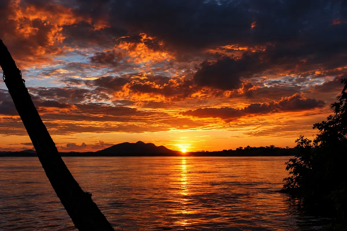
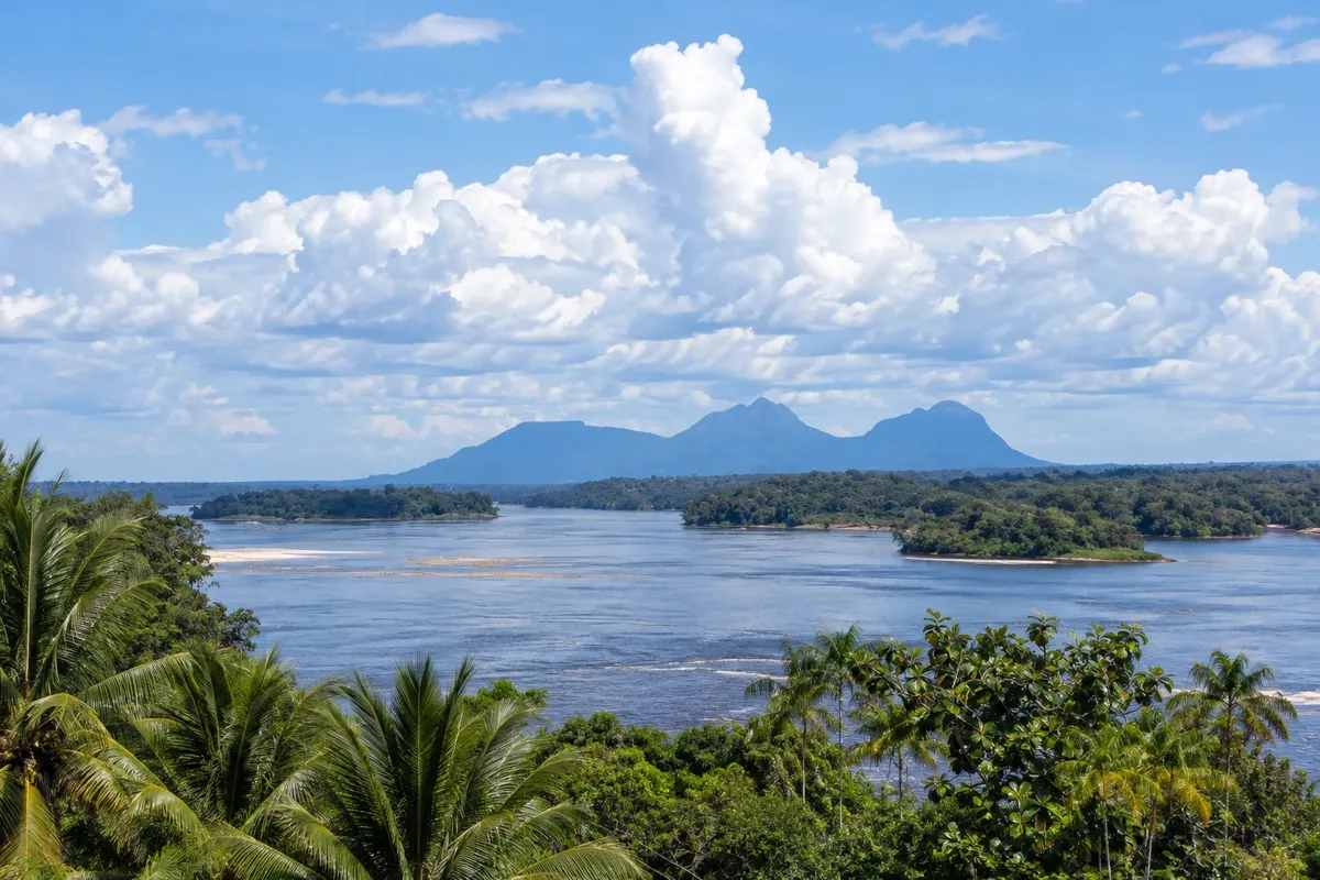
The Upper Rio Negro is the far northwest of Amazonas, on the border with Colombia and Venezuela, a region known as the “Dog’s Head” because of its shape on the map. The main town is São Gabriel da Cachoeira, on the banks of the Rio Negro, at a stretch of rapids and rocks that gave the municipality its name. Around it, the forest extends with no roads to Manaus, and the river is the route between communities.
São Gabriel has the highest proportion of indigenous population among Brazilian municipalities, with peoples from more than twenty ethnicities. In addition to Portuguese, nheengatu, baniwa and tukano are official languages of the municipality. Much of the territory is indigenous land, and visits to communities depend on invitation, on their own rules and, in many cases, on authorization from the responsible agencies.
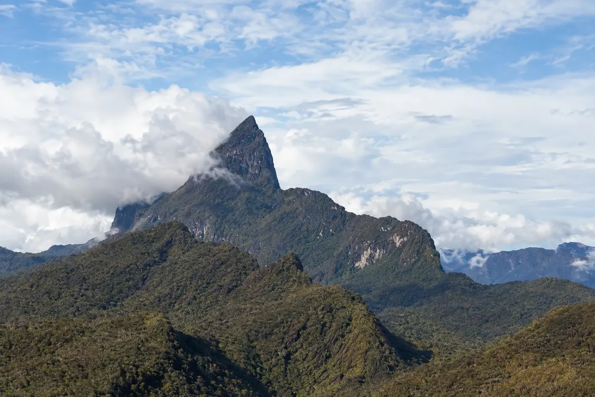
On the city’s horizon is the Serra do Curicuriari, called the Sleeping Beauty because its profile resembles a woman lying down. Further northeast is Pico da Neblina, the highest point in Brazil, at 2,995 meters according to IBGE measurement, inside the national park of the same name and within the Yanomami Indigenous Land. The Yanomami call the mountain Yaripo, the mountain of the wind.
Ascents to the peak were suspended for almost two decades and were resumed in 2022 by the Yaripo project, a community-based tourism initiative of the Yanomami of Maturacá, in partnership with ICMBio and Funai. Expeditions can only be undertaken with accredited operators, Yanomami guides and porters, following the park’s visitation plan.
This destination brings together 1 city: São Gabriel da Cachoeira.


 Argentina
 Bolivia
 Chile
 Colombia
 Ecuador
 Guyana
 French Guiana
 Falkland Islands (Malvinas)
 Paraguay
 Peru
 Suriname
 Uruguay
 Venezuela
 Germany
 Austria
 Belgium
 Croatia
 Denmark
 Slovakia
 Slovenia
 Spain
 Finland
 France
 Greece
 the Netherlands
 Hungary
 Ireland
 Iceland
 Italy
 Luxembourg
 Norway
 Poland
 Portugal
 the United Kingdom
 the Czech Republic
 Sweden
 Switzerland
 Turkey
 Canada
 the United States
 Mexico
 the Dominican Republic
 South Africa
 Australia
 Fiji
 New Zealand
 Papua New Guinea