

 Brazil
 Argentina
 Bolivia
 Chile
 Colombia
 Ecuador
 Guyana
 French Guiana
 Falkland Islands (Malvinas)
 Paraguay
 Peru
 Suriname
 Uruguay
 Venezuela
 Germany
 Austria
 Belgium
 Croatia
 Denmark
 Slovakia
 Slovenia
 Spain
 Finland
 France
 Greece
 the Netherlands
 Hungary
 Ireland
 Iceland
 Italy
 Luxembourg
 Norway
 Poland
 Portugal
 the United Kingdom
 the Czech Republic
 Sweden
 Switzerland
 Turkey
 Bermuda
 Canada
 the United States
 the Dominican Republic
 South Africa
 Egypt
 Australia
 Fiji
 New Zealand
 Papua New Guinea
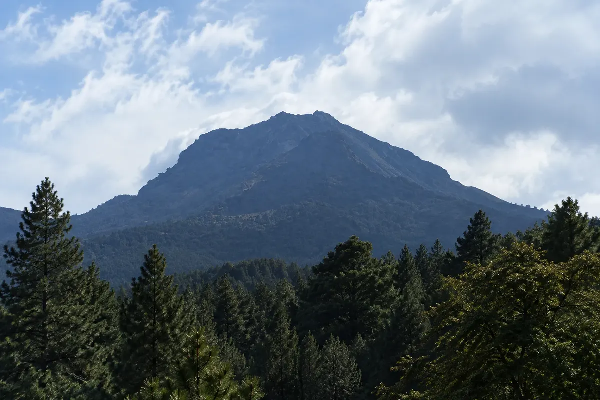
National park · Huamantla, Tlaxcala
La Malinche National Park
An extinct volcano over 4,400 meters between Tlaxcala and Puebla, with pine forests and a trail to the summit.
Illustrative images. The pictures in this guide are illustrations based on the real place, not photographs, and may differ from it.



Discover
About La Malinche National Park
La Malinche, or Matlalcuéyetl, is a nonactive volcano over 4,400 meters high, one of Mexico’s tallest peaks. The national park covers its slopes between the states of Tlaxcala and Puebla, with pine and oyamel forests and high-altitude grasslands near the top.
The most commonly used ascent starts at the IMSS vacation center, at about 3,000 meters elevation, on the Huamantla side. The trail to the summit usually takes 4 to 6 hours one way and requires good preparation, because the air is thin and the final section is steep. Many visitors do only the forest trail to the viewpoints.
From the summit on a clear day you can see the Popocatépetl, Iztaccíhuatl and Pico de Orizaba volcanoes.
Before you go
Practical information
Cidade Turismo reviews its information regularly, but something may have changed. Check with the place before planning your trip.
How much time to set aside
A full day for the summit; half a day for the forest trails.
Best time
From November to March, when the skies are clearer; leave early because clouds often close in on the mountain in the afternoon.
How to get there
Access via the IMSS vacation center is about 15 km from Huamantla by car or taxi.
Tip
For the summit, go with a guide, bring warm clothing and water, and spend a day or two in the area beforehand to acclimatize to the altitude.
Get your questions answered
Frequently asked questions about La Malinche National Park
What is the altitude of La Malinche?
Over 4,400 meters.
How long does the La Malinche ascent take?
Usually 4 to 6 hours to the summit from the IMSS vacation center.
Do you need a guide to climb La Malinche?
A guide is recommended for the summit because of the altitude and the steep final section.