

 Brazil
 Argentina
 Bolivia
 Chile
 Colombia
 Ecuador
 Guyana
 French Guiana
 Falkland Islands (Malvinas)
 Paraguay
 Peru
 Suriname
 Uruguay
 Venezuela
 Germany
 Austria
 Belgium
 Croatia
 Denmark
 Slovakia
 Slovenia
 Spain
 Finland
 France
 Greece
 the Netherlands
 Hungary
 Ireland
 Iceland
 Italy
 Luxembourg
 Norway
 Poland
 Portugal
 the United Kingdom
 the Czech Republic
 Sweden
 Switzerland
 Turkey
 Canada
 Mexico
 the Dominican Republic
 South Africa
 Australia
 Fiji
 New Zealand
 Papua New Guinea
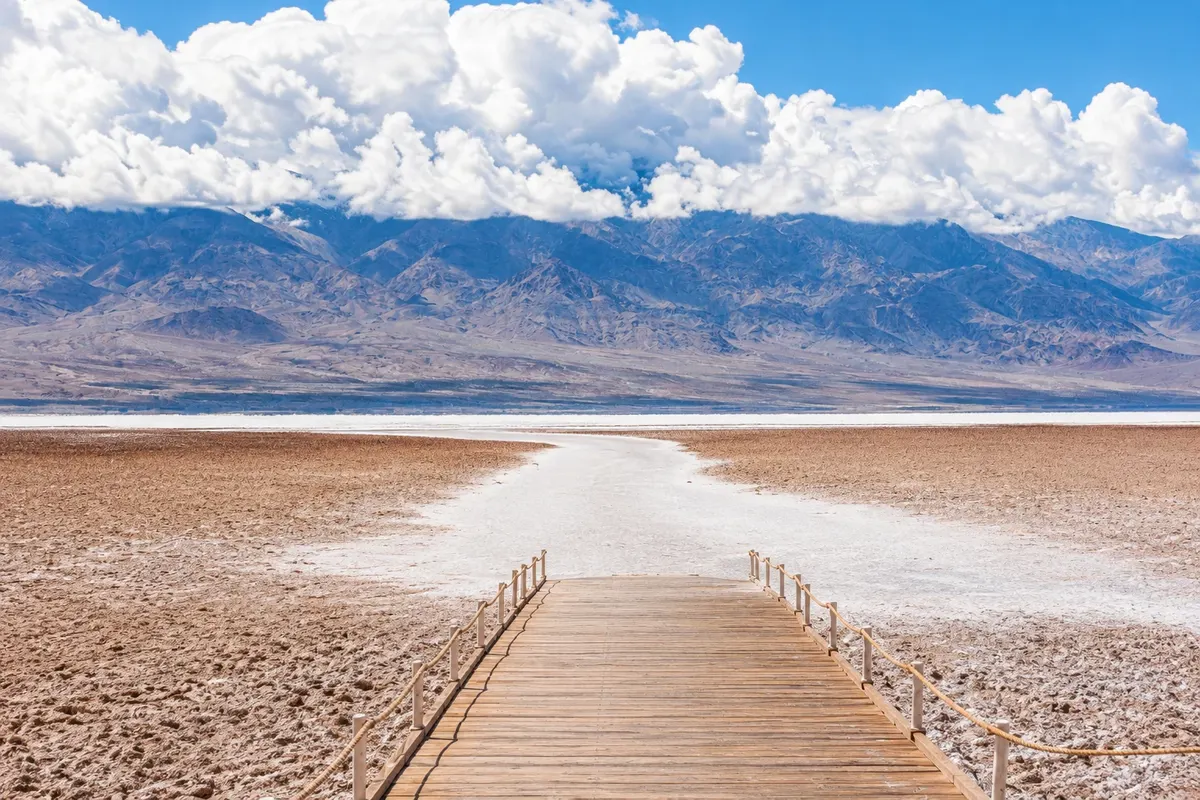
Salt flat · Furnace Creek, California
Badwater Basin
Salt flat at the bottom of Death Valley, 86 meters below sea level, the lowest point in North America, with a white crust of salt stretching for kilometers.
Illustrative images. The pictures in this guide are illustrations based on the real place, not photographs, and may differ from it.


Discover
About Badwater Basin
Badwater Basin is the floor of Death Valley, a large salt plain 86 meters below sea level, the lowest point in North America. The name came from a small pool next to the road, with water too salty to drink. On the rock behind the parking lot a plaque shows where sea level lies, well above visitors’ heads.
A boardwalk leaves the parking lot and, after it, a worn trail across the salt. Walking a few hundred meters the white crust forms polygonal patterns with raised edges from crystallization. After rare rains a shallow pond can form for a few days and reflect the Panamint Mountains on the other side of the valley.
The heat at the valley floor is extreme in summer: Furnace Creek, nearby, recorded in 1913 one of the highest temperatures on the planet. Even in winter, the sun reflects strongly on the salt.
On the road between Furnace Creek and Badwater are Devil’s Golf Course, a field of jagged salt crystals, and the access to Artists Drive, a one-way road through slopes colored by minerals.
Before you go
Practical information
Cidade Turismo reviews its information regularly, but something may have changed. Check with the place before planning your trip.
How much time to set aside
About an hour, plus travel time from Furnace Creek.
Best time
Early morning or late afternoon, and preferably between November and March. In summer, only in the early hours.
How to get there
It is about 30 km south of Furnace Creek by Badwater Road, paved, with parking by the salt flat.
Tip
Use sunglasses and sunscreen: the salt reflects a lot of light. Do not step off the worn area if the crust is wet.
Official website
Get your questions answered
Frequently asked questions about Badwater Basin
What is the lowest point in Death Valley?
Badwater Basin, 86 meters below sea level, the lowest point in North America. A sign on the hill behind the parking area shows sea level elevation.
Can you walk on the salt flat at Badwater?
Yes. A beaten trail leaves the parking area and crosses the salt; walking farther out reveals the polygon patterns of the crust. Bring water and sun protection.
How long from Furnace Creek to Badwater?
About half an hour by car via Badwater Road, which passes near Devil’s Golf Course and the entrance to Artists Drive.