

 Brazil
 Argentina
 Bolivia
 Chile
 Colombia
 Ecuador
 Guyana
 French Guiana
 Falkland Islands (Malvinas)
 Paraguay
 Peru
 Suriname
 Uruguay
 Venezuela
 Germany
 Austria
 Belgium
 Croatia
 Denmark
 Slovakia
 Slovenia
 Spain
 Finland
 France
 Greece
 the Netherlands
 Hungary
 Ireland
 Iceland
 Italy
 Luxembourg
 Norway
 Poland
 Portugal
 the United Kingdom
 the Czech Republic
 Sweden
 Switzerland
 Turkey
 Canada
 Mexico
 the Dominican Republic
 South Africa
 Australia
 Fiji
 New Zealand
 Papua New Guinea
Before you go
Your trip to Cherokee.
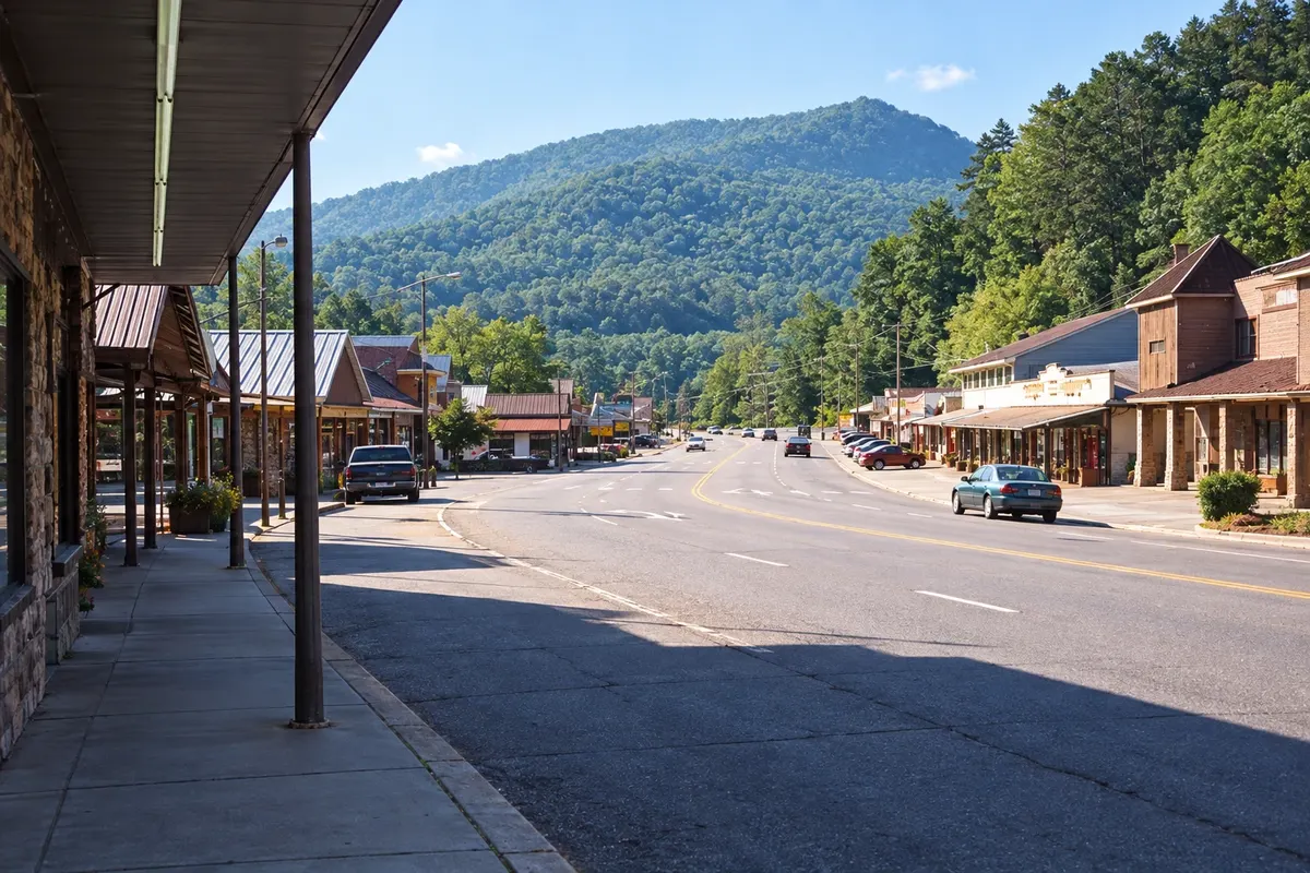
Illustrative images. The pictures in this guide are illustrations based on the real place, not photographs, and may differ from it.


Cherokee – North Carolina Destination Great Smoky Mountains
How to get there
-
Asheville Regional Airport (AVL) Fletcher · 95 km
Approximate distances. Check flights and bus, train or boat schedules before you travel.
The nearest airport is Asheville, about an hour’s drive away. From Gatlinburg it’s about 55 km via Newfound Gap Road, crossing the park.
How many days
One day for the museum, Oconaluftee and Mingo Falls.
When to go
From spring through fall; in late September and October the slopes often turn colorful. In September and October, elk mating season makes bulls more visible in the fields alongside the river.
The seasons shown are the most usual ones; nature doesn't always follow the calendar.
Do you need a car?
Yes. The town and the park do not have public transportation for visitors.
Suggested itinerary
An order that works
Built with the places on this page. No rush: it's paced so you have time to see them.
One day in Cherokee
-
Morning
Museum of the Cherokee People
Start at the Museum of the Cherokee People, in the town center.
-
Afternoon
Mingo Falls
Continue to Mingo Falls and climb the staircase to the base of the waterfall.
-
Late afternoon
Oconaluftee
Finish at the Oconaluftee visitor center, with the open-air farm and elk in the fields.
Check before you go. Opening hours and days change, and places may close for renovations, holidays or events. This itinerary is a suggestion from Cidade Turismo, not a commitment: plan yours by checking directly with each place you intend to visit.
Before you go
Frequently asked questions
What to do in Cherokee?
Visit the Museum of the Cherokee People, the Oconaluftee visitor center and Mingo Falls.
Are there elk in Cherokee?
Yes; the park’s herd often grazes in the fields along the Oconaluftee River, just north of town, in the early morning and late afternoon.
How do I get from Gatlinburg to Cherokee?
By Newfound Gap Road, about 55 km across the park.
What is the Qualla Boundary?
The territory of the Eastern Band of Cherokee Indians, where the town of Cherokee is located.