

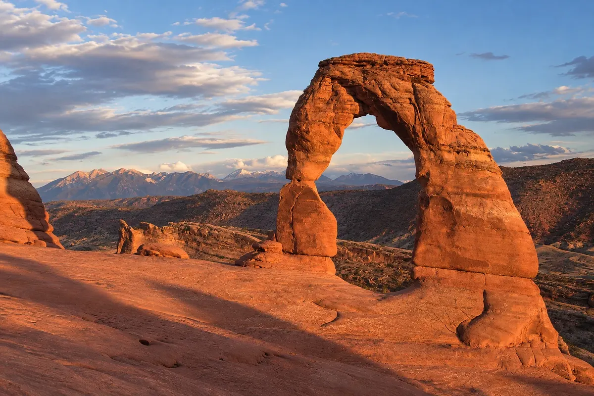
Rock formation
Delicate Arch
The solitary stone arch that is Utah’s symbol, in Arches National Park, on the rim of a sandstone basin. It is reached by a trail of about 4.8 km round trip, with no shade.

 Search
 Brazil
 Argentina
 Bolivia
 Chile
 Colombia
 Ecuador
 Guyana
 French Guiana
 Falkland Islands (Malvinas)
 Paraguay
 Peru
 Suriname
 Uruguay
 Venezuela
 Germany
 Austria
 Belgium
 Croatia
 Denmark
 Slovakia
 Slovenia
 Spain
 Finland
 France
 Greece
 the Netherlands
 Hungary
 Ireland
 Iceland
 Italy
 Luxembourg
 Norway
 Poland
 Portugal
 the United Kingdom
 the Czech Republic
 Sweden
 Switzerland
 Turkey
 Canadathe United States
 Mexico
 the Dominican RepublicTurkey
 South Africa
 Australia
 Fiji
 New Zealand
 Papua New Guinea
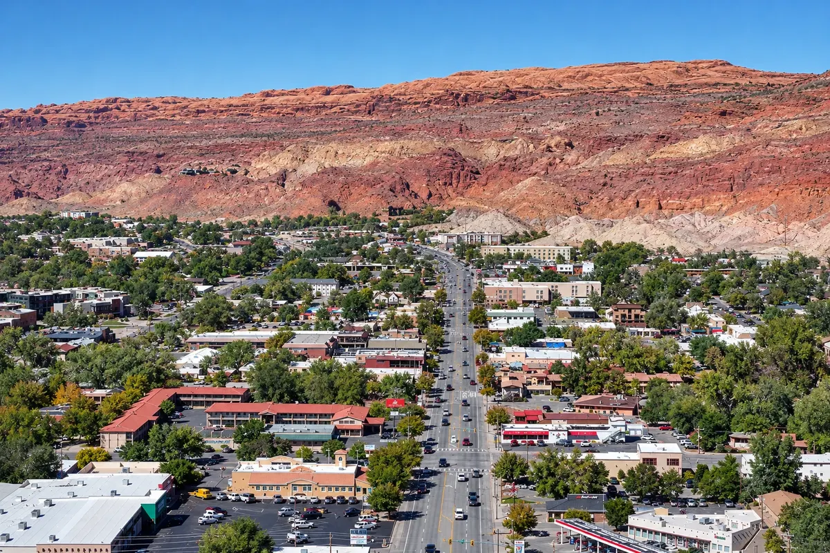
Utah · the United States
In the destination Arches and Canyonlands (Moab).
In the photo: Downtown Moab and its cliffs
Illustrative images. The pictures in this guide are illustrations based on the real place, not photographs, and may differ from it.
The city
Town in the Colorado River valley in eastern Utah, surrounded by red sandstone cliffs. It is the gateway to Arches National Park, a few kilometers away, Canyonlands, and Dead Horse Point State Park. It has outfitters and operators for rafting, Jeep tours and mountain biking.
There's no accommodation in the guide yet in Moab.
how to get there · how many days · itinerary · questions
The local experience
The solitary stone arch that is Utah’s symbol, in Arches National Park, on the rim of a sandstone basin. It is reached by a trail of about 4.8 km round trip, with no shade.
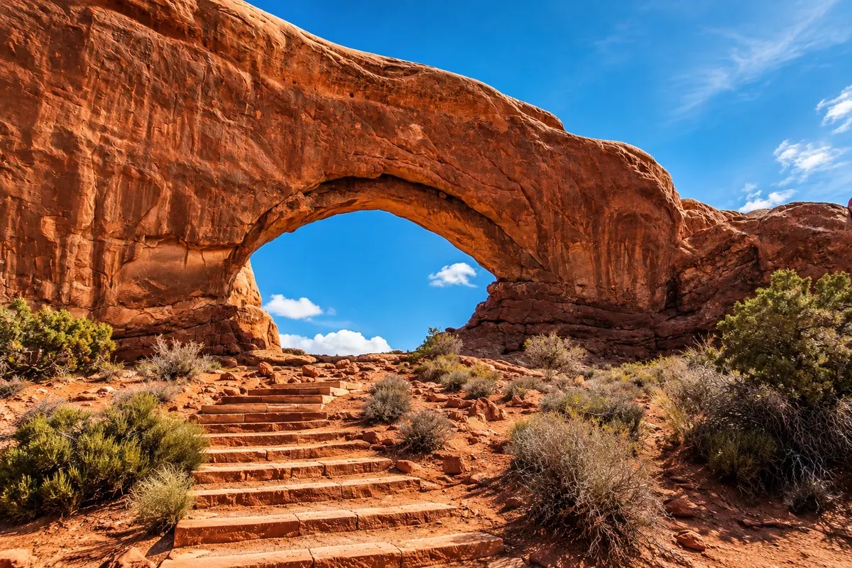
Section of Arches National Park with several large arches near the road, including North Window, South Window, Turret Arch and Double Arch, connected by short trails.
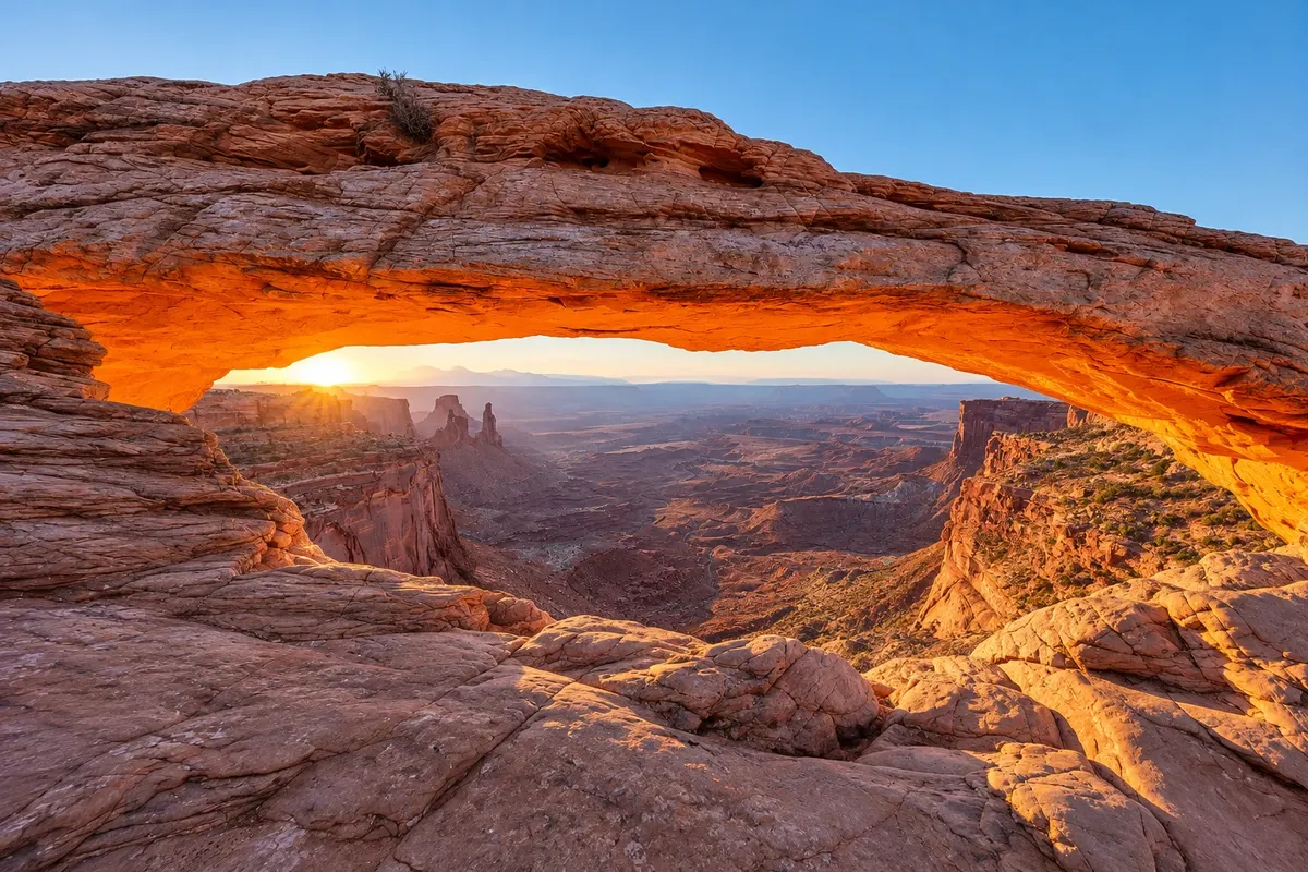
The part of Arches National Park closest to Moab is a mesa over 1,800 meters high with overlooks over the canyons of the Colorado and Green rivers, including Mesa Arch and Grand View Point.
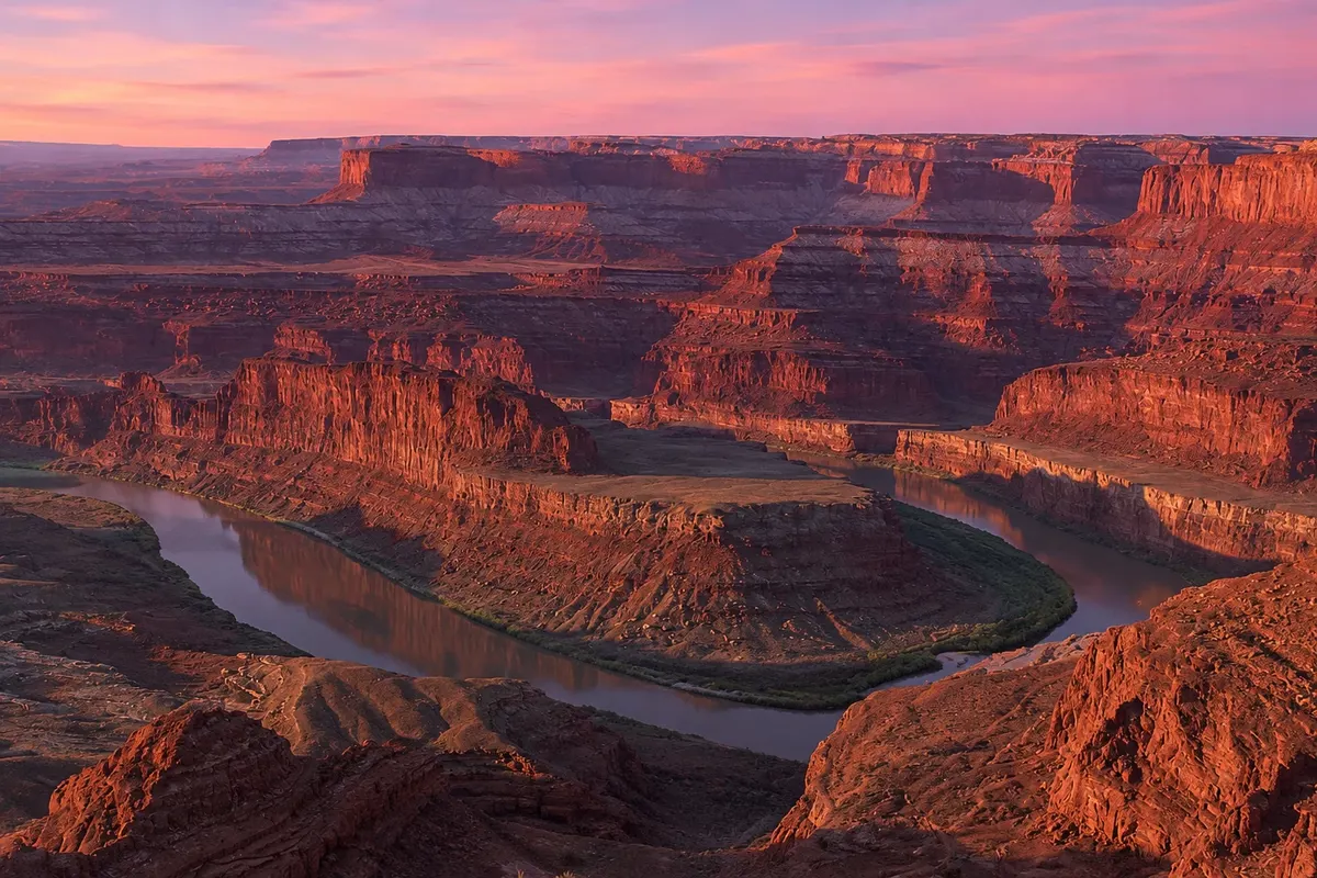
A state park on a mesa tip near Canyonlands, with an overlook about 600 meters above a horseshoe bend of the Colorado River.