2 cities

 Search
 Brazil
 Argentina
 Bolivia
 Chile
 Colombia
 Ecuador
 Guyana
 French Guiana
 Falkland Islands (Malvinas)
 Paraguay
 Peru
 Suriname
 Uruguay
 Venezuela
 Germany
 Austria
 Belgium
 Croatia
 Denmark
 Spain
 Finland
 France
 Greece
 the Netherlands
 Hungary
 Ireland
 Iceland
 Italy
 Luxembourg
 Norway
 Poland
 Portugal
 the United Kingdom
 the Czech Republic
 Sweden
 Switzerland
 TurkeyCanada
 the United States
 Mexico
 the Dominican RepublicTurkey
 South Africa
 Australia
 Fiji
 New Zealand
 Papua New Guinea
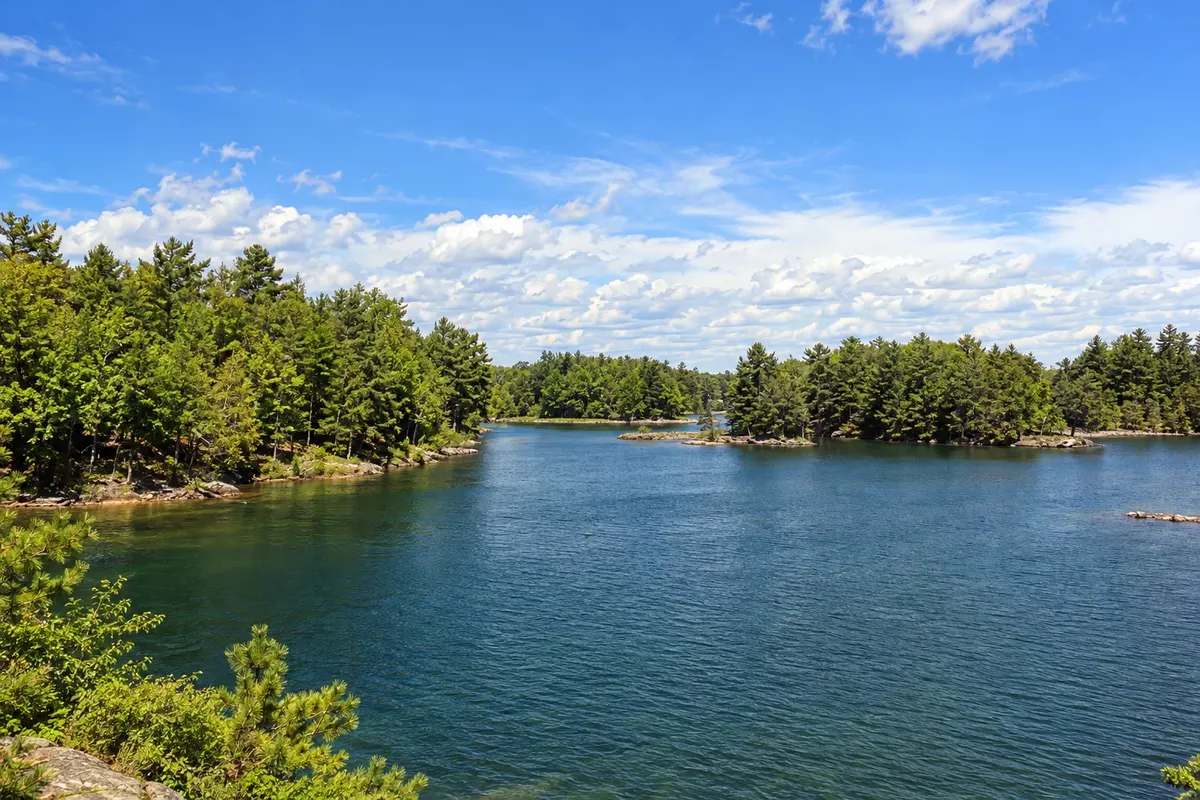
Province · Ontario
Toronto, Niagara Falls and Ottawa, the country’s capital: Ontario brings together Canada’s largest cities, the northern shore of the Great Lakes and thousands of lakes among forests.
In the photo: Thousand Islands, Ontario
Illustrative images. The pictures in this guide are illustrations based on the real place, not photographs, and may differ from it.

The province
Ontario is Canada’s most populous province. It stretches from Hudson Bay in the north to the Great Lakes in the south, which form much of the border with the United States. Toronto, the provincial capital, and Ottawa, the national capital, are here.
Toronto, on the shores of Lake Ontario, is Canada’s largest city. The CN Tower, the Royal Ontario Museum, the Art Gallery of Ontario, the brick buildings of the Distillery District and the Toronto Islands, a few minutes by ferry from downtown, are among the most visited sites. Pearson Airport handles most of the country’s international flights.
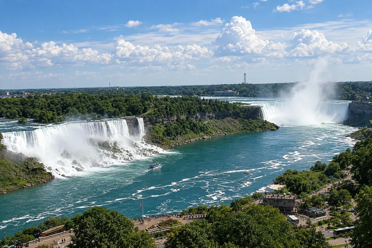
About 130 km from Toronto, the Niagara River plunges at Horseshoe Falls, the Canadian side of the waterfalls, facing the falls on the American side. Nearby, Niagara-on-the-Lake preserves 19th-century houses and wineries known for icewine, made from grapes harvested frozen in winter.
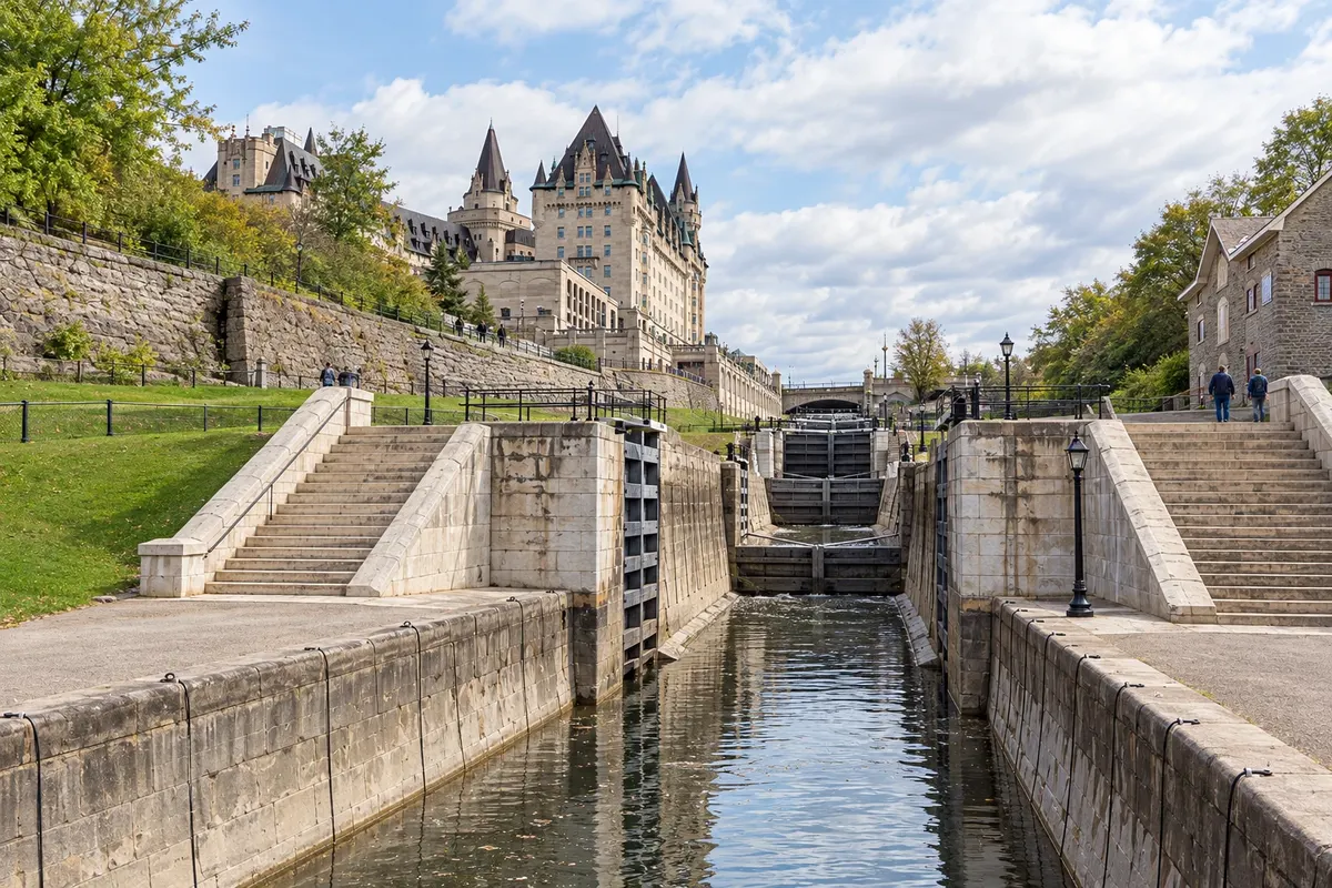
Ottawa, on the banks of the river of the same name, is home to Parliament on Parliament Hill and the national museums. The Rideau Canal, a UNESCO World Heritage Site, cuts through the city and, in winter when the ice permits, becomes a skating rink. The canal continues to Kingston on Lake Ontario, where the Thousand Islands archipelago begins on the St. Lawrence River.
To the north, the landscape changes to lakes and forests: the Muskoka region, with lakeside cottages, and Algonquin Provincial Park, popular for canoeing and fall foliage colors. Farther away are Lake Superior and cities such as Sault Ste. Marie and Thunder Bay.
Destinations
Cities
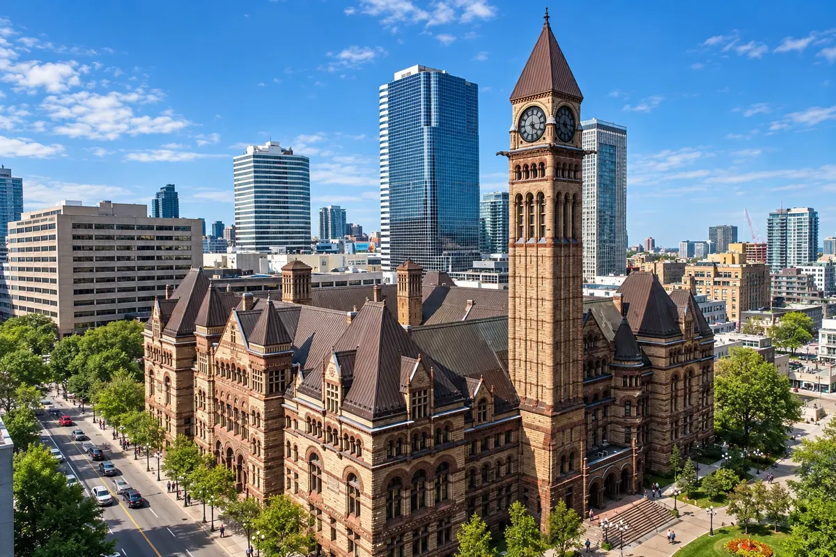
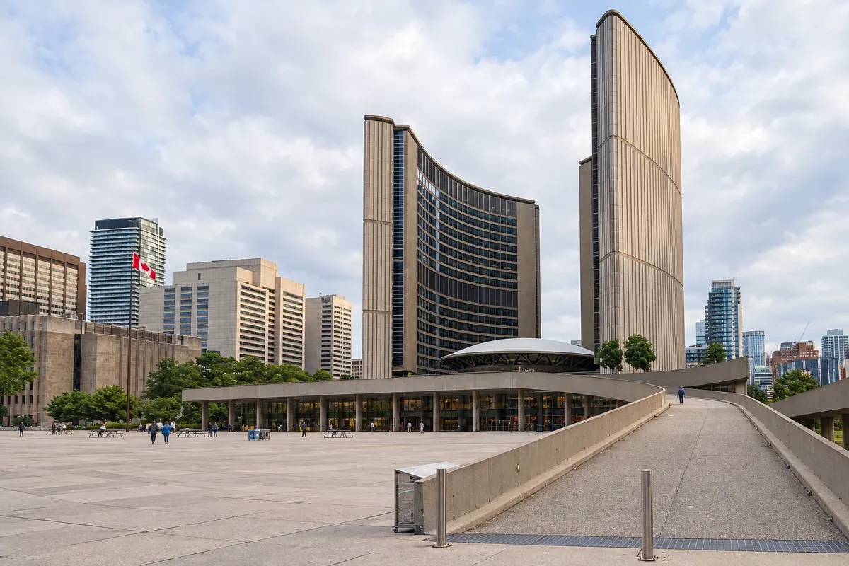
Capital of Ontario and Canada’s largest city, on the shore of Lake Ontario. Downtown has the CN Tower, the Harbourfront and ferries to the Toronto Islands. Nearby are the Royal Ontario Museum, the Art Gallery of Ontario, St. Lawrence Market and the Distillery District, as well as neighbourhoods like Kensington Market and Chinatown.
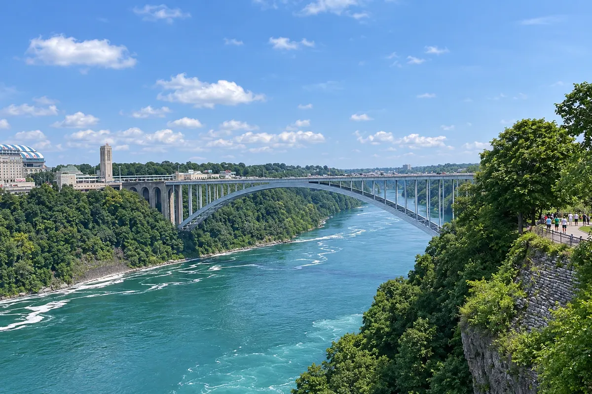
Ontario city facing Niagara Falls. The riverbank is a continuous park, with the Table Rock viewpoint at the edge of Horseshoe Falls, the boats that reach the base of the falls, the tunnels behind it, and the old hydroelectric power station. Downriver are the canyon, rapids, and the Niagara whirlpool.
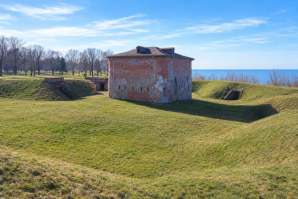
Village at the mouth of the Niagara River on Lake Ontario, about 25 km from the falls. It has 19th‑century houses on Queen Street, Fort George from the War of 1812 and a theatre festival dedicated to the work of Bernard Shaw. Around it, the peninsula’s vineyards produce the region’s ice wine.
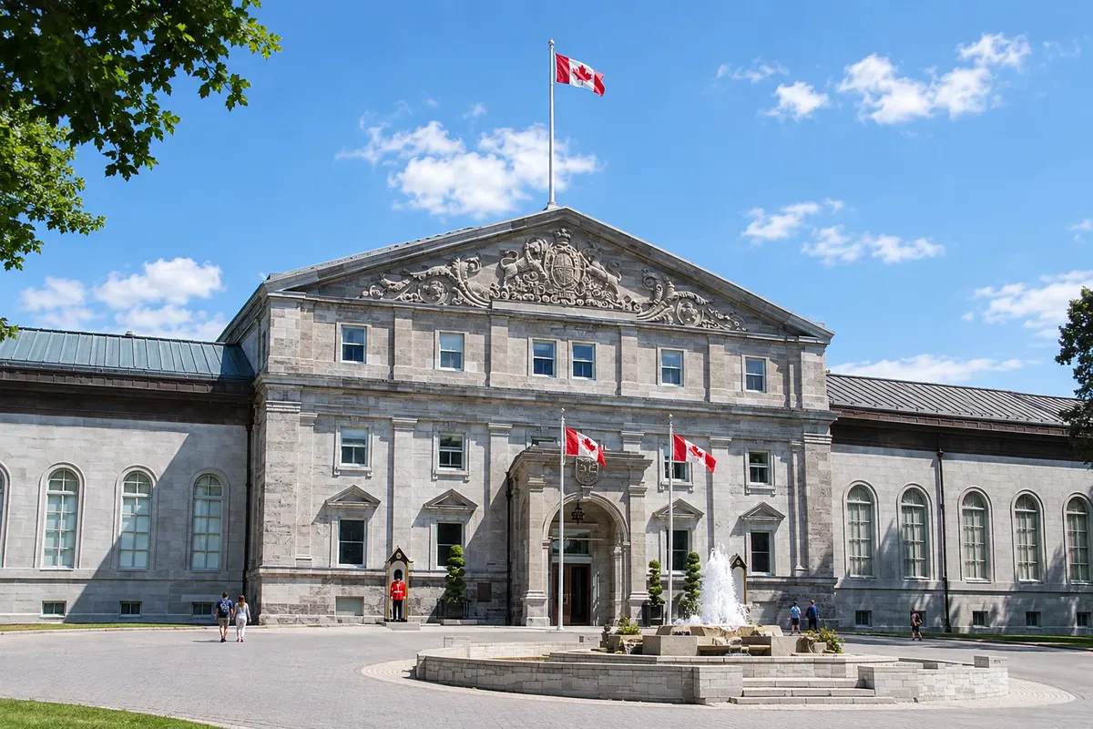
Capital of Canada, on the Ottawa River, facing Gatineau. Parliament Hill dominates the centre, beside the lock staircase of the Rideau Canal. Nearby are the ByWard Market, the National Gallery of Canada and the national War and Nature museums. The city is bilingual, in English and French.
Summer, from June to August, is warm and humid in the south, with days often above 25 °C, and is the season for lakes, islands and boating at the falls. Fall foliage usually colors Algonquin and Muskoka from late September to mid-October. Winter, from December to March, is cold and snowy; in Ottawa temperatures are often below −10 °C. boat tours to the base of the falls operate from spring through fall.
Toronto Pearson International Airport (YYZ) is Canada’s busiest airport, with flights to all continents and to other provinces. Ottawa has an international airport (YOW). Long-distance trains connect Toronto with Kingston, Ottawa, Montreal and Quebec City, and Highway 401 crosses the southern part of the province. From the U.S. border, the bridges at Niagara Falls and Windsor are among the most used crossings.
Your questions
Three or four days let you see downtown Toronto, the CN Tower, the islands and one museum, and spend a full day at Niagara Falls, including the boat to the base of the falls and a stop in Niagara-on-the-Lake. With more time, Ottawa is about four and a half hours from Toronto by car or train.
Yes. Regional trains and buses connect Toronto to Niagara Falls, with more schedules on weekends and in summer, and many operators run day tours with transportation. By car, the trip takes around an hour and a half, depending on traffic.
It is a sweet wine made from grapes left on the vine until they freeze in winter, then harvested and pressed while still frozen, which concentrates the sugar. The Niagara Peninsula is one of Canada’s main producing regions, and many wineries in Niagara-on-the-Lake welcome visitors for tastings.
Generally between late September and mid-October. Colors appear first in the north and in higher areas, such as Algonquin, and then move south. The peak varies from year to year: check the province’s park foliage reports before you go.