

 Brasile
 Antartide
 Argentina
 Bolivia
 Cile
 Colombia
 Ecuador
 Guyana
 Guyana francese
 Isole Falkland
 Paraguay
 Perù
 Suriname
 Uruguay
 Venezuela
 Germania
 Austria
 Belgio
 Croazia
 Danimarca
 Slovacchia
 Slovenia
 Spagna
 Finlandia
 Francia
 Grecia
 Paesi Bassi
 Ungheria
 Irlanda
 Islanda
 Lussemburgo
 Norvegia
 Polonia
 Portogallo
 Regno Unito
 Cechia
 Svezia
 Svizzera
 Turchia
 Bermuda
 Canada
 Stati Uniti
 Groenlandia
 Messico
 Saint-Pierre e Miquelon
 Repubblica Dominicana
 Giappone
 Sudafrica
 Egitto
 Australia
 Figi
 Nuova Zelanda
 Papua Nuova Guinea
Itinerario · Emilia-Romagna · Toscana
Via degli Dei from Bologna to Florence
About 130 km on foot across the Apennines, from Bologna’s porticoes to Florence’s city centre, passing through woodlands, ancient paved sections and villages of the Mugello.
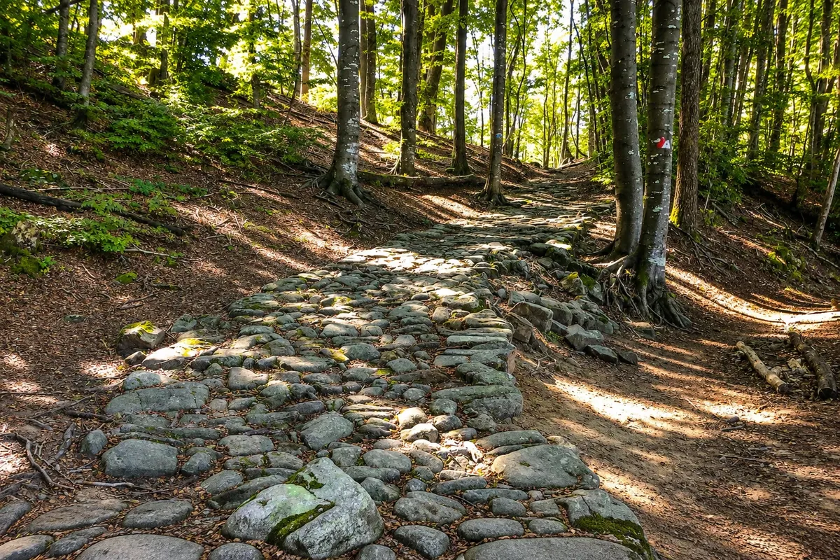
Nella foto: Stone paving of the Via degli Dei on the Passo della Futa section.
Illustrazioni dei luoghi. Le immagini di questa guida riproducono i luoghi reali attraverso illustrazioni. Alcuni particolari possono differire da quelli che vedrai sul posto.

L’itinerario
Alla scoperta di Via degli Dei from Bologna to Florence
The Via degli Dei links Piazza Maggiore in Bologna to Piazza della Signoria in Florence. The route climbs via the San Luca portico and crosses the Reno valley. After Casalecchio di Reno and Sasso Marconi, it leaves the riverbanks to follow wooded slopes, pastures and Apennine villages.
Between Madonna dei Fornelli and the Passo della Futa there are stretches of flagstones associated with the ancient Flaminia Militare. Once in Tuscany, the path goes through Sant’Agata and San Piero a Sieve, crosses the olive-landscape of the Mugello and climbs to Monte Senario. The approach to Florence passes Bivigliano and Fiesole. The final section descends from the hills down to the historic centre.
La mappa
9 città lungo il percorso
Contorni cartografici di Natural Earth, di pubblico dominio. Adattamento a cura di Cidade Turismo.
Il percorso
Di città in città
Distanze e tempi sono indicativi. Li verifichi prima di partire.
-
 1 · Emilia-Romagna
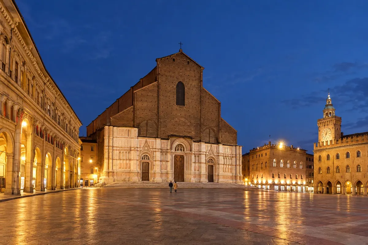
Bolonha
Start at Piazza Maggiore. From Bologna Centrale station, follow Via dell’Indipendenza to the square. If you want the credential, visit the distribution point beforehand and check its opening hours on that day.
→ Casalecchio di Reno From Piazza Maggiore, head for Via Saragozza. Climb from the Arco del Meloncello along the San Luca portico. On the descent to San Martino and Parco Talon, check the signed diversion and the latest route update.
-
 2 · Emilia-Romagna
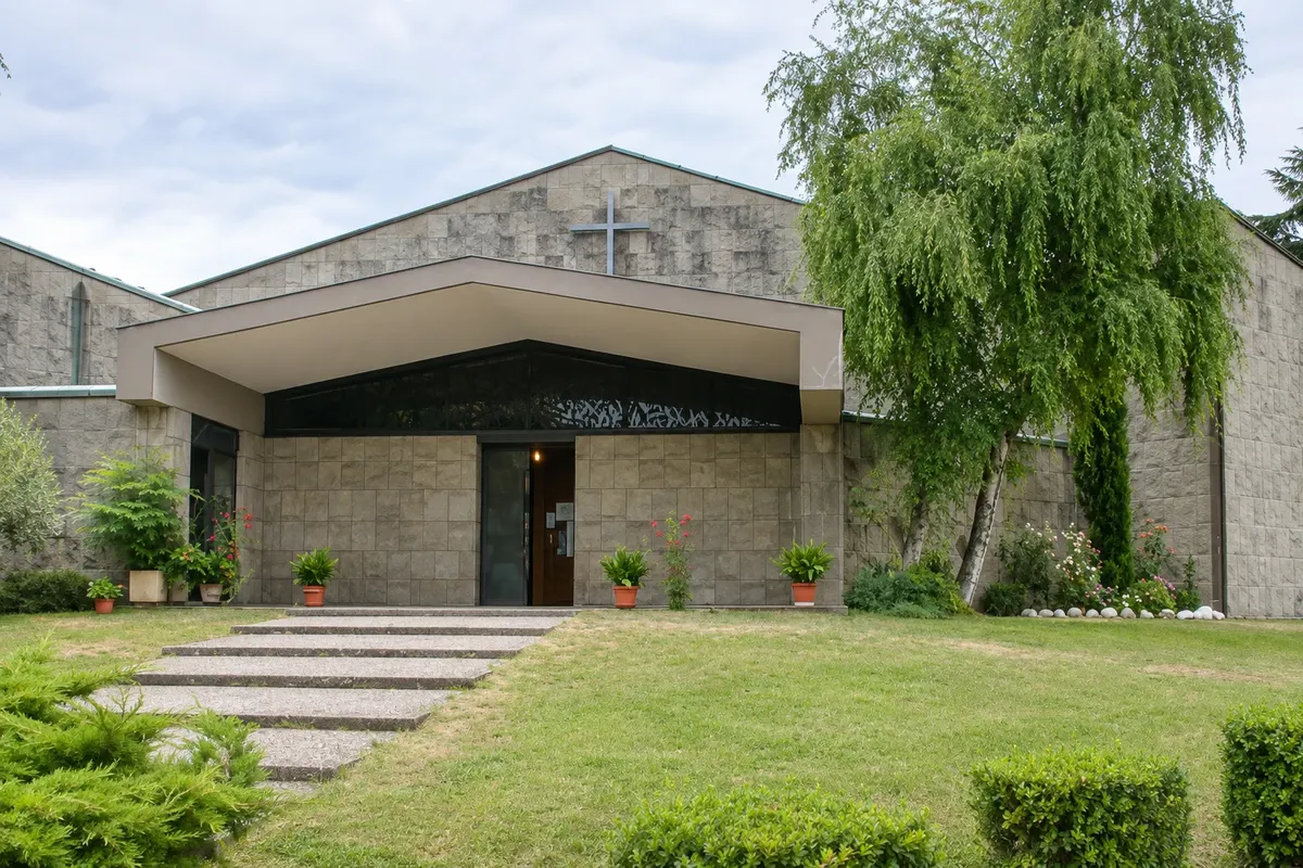
Casalecchio di Reno
The walk enters on the San Martino side and crosses the Parco della Chiusa, also called Parco Talon. Near the entrance, the hydraulic work separates the canal from the Reno riverbed.
→ Sasso Marconi Cross the park via Via Panoramica, on CAI 112. In rain or mud, follow the variant on the other bank of the Reno, shared with the Via della Lana e della Seta. It returns to the footpath route by the Vizzano bridge.
-
 3 · Emilia-Romagna
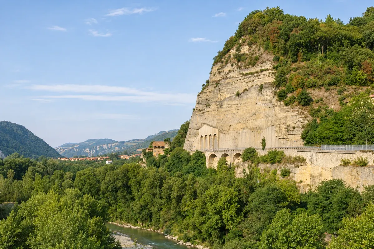
Sasso Marconi
In the territory of Sasso Marconi, the Via degli Dei passes around the Rio Conco and climbs to the Prati di Mugnano. Badolo is an option to shorten the first day. To reach the centre or the station, plan your exit from the trail.
→ Monzuno From Badolo, follow the surroundings of Monte del Frate. Pass through Brento and, depending on how you divide the days, climb Monte Adone before or after the overnight. From Brento, the ridge paths pass through Monterumici to Monzuno.
-
 4 · Emilia-Romagna
Monzuno
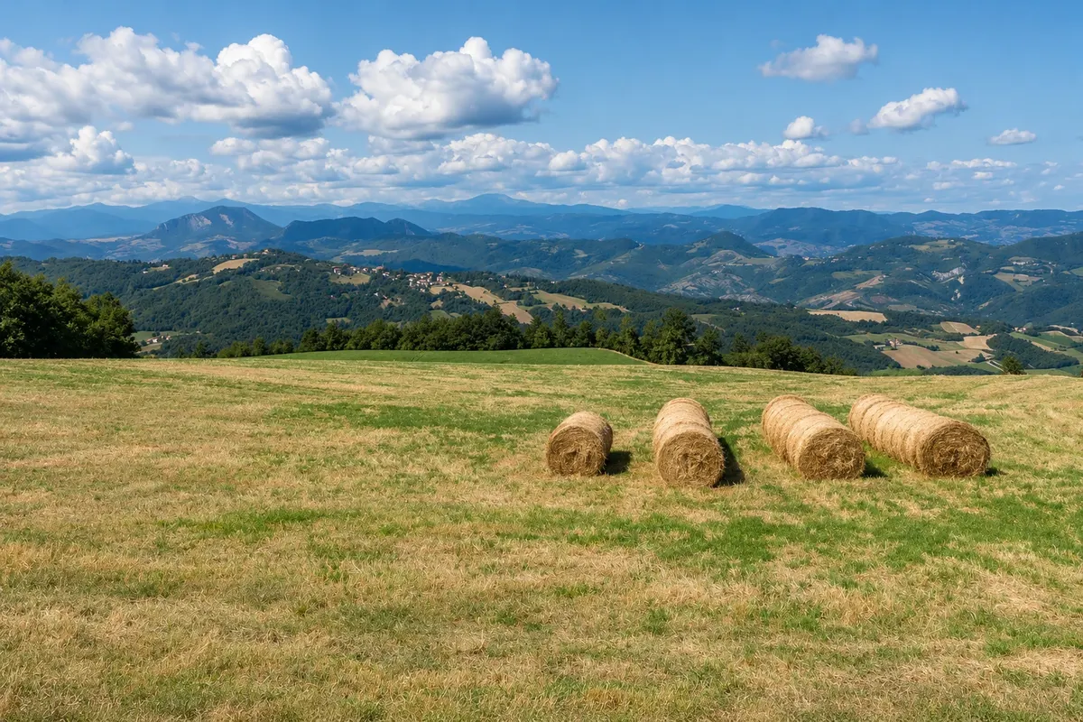
Piazza XXIV Maggio is a place to rest and resupply. If you want to shorten the second stage you can sleep in the town centre. Leaving via the sports fields area leads to the CAI 019 path.
→ San Benedetto Val di Sambro About 3 hours to Madonna dei Fornelli Leave through Monzuno’s centre and follow the ascent to Campagne. The CAI 019 crosses chestnut groves and reaches the houses of Le Croci. Pass Monte Galletto and descend along a dirt track to Madonna dei Fornelli.
-
 5 · Emilia-Romagna
San Benedetto Val di Sambro
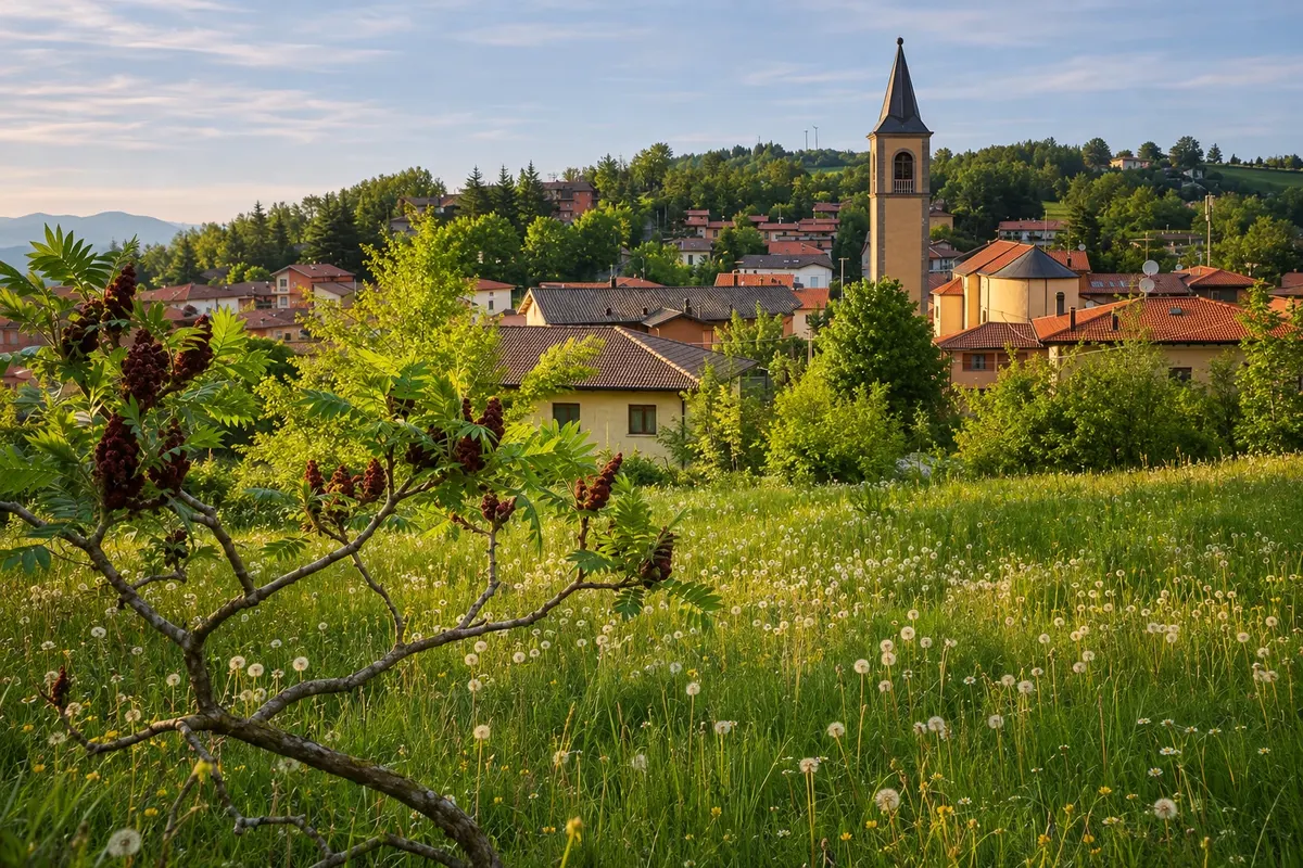
Plan to overnight in Madonna dei Fornelli, a locality of the municipality and the starting point for the Pian di Balestra wood. San Benedetto Val di Sambro’s town centre and the station lie off this axis.
→ Scarperia e San Piero circa 38 km From Madonna dei Fornelli, cross Pian di Balestra and the ancient paving to the Passo della Futa. After the section beside the SS 65, the next stage follows woods and country roads, passes Sant’Agata and ends in San Piero a Sieve.
-
 6 · Toscana
Scarperia e San Piero
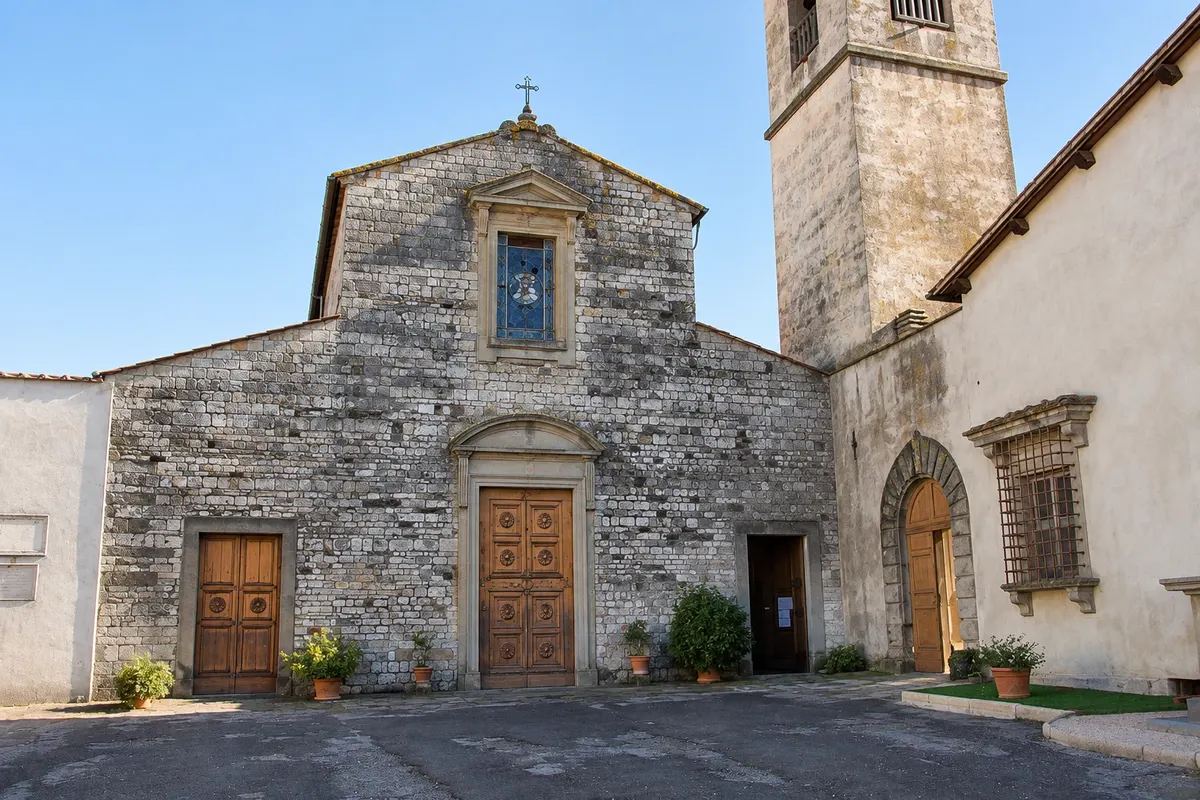
The path comes from Sant’Agata and reaches the core of San Piero a Sieve, where there are overnight options and the Faentina line station. Scarperia, where the Palazzo dei Vicari is located, requires a detour off the route.
→ Vaglia circa 18 km About 6 hours to Vetta le Croci From San Piero a Sieve, climb in the direction of Trebbio and follow the signs to Tagliaferro. Check the variant for crossing the Carza valley. After the ascent to Monte Senario, descend towards Bivigliano. The measured end of the stage is Vetta le Croci.
-
 7 · Toscana
Vaglia
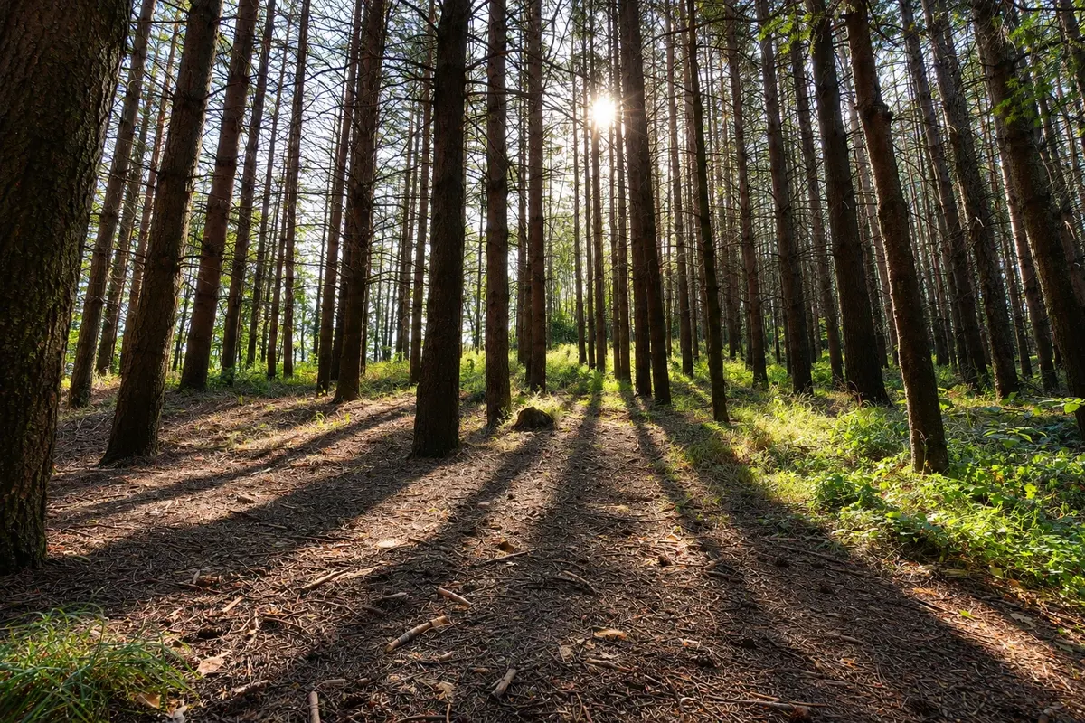
The Via degli Dei climbs to the Monte Senario sanctuary and passes close to Bivigliano. Use the access via Via della Fittaccia to sleep in the locality or continue towards Vetta le Croci. Vaglia’s town centre lies in the valley.
→ Fiesole circa 10 km From Vetta le Croci, head to Alberaccio and take CAI 2 on the climb to Poggio Pratone. The descent passes Monte Fanna and leaves the dirt surface as it crosses Borgunto, before reaching Piazza Mino.
-
 8 · Toscana
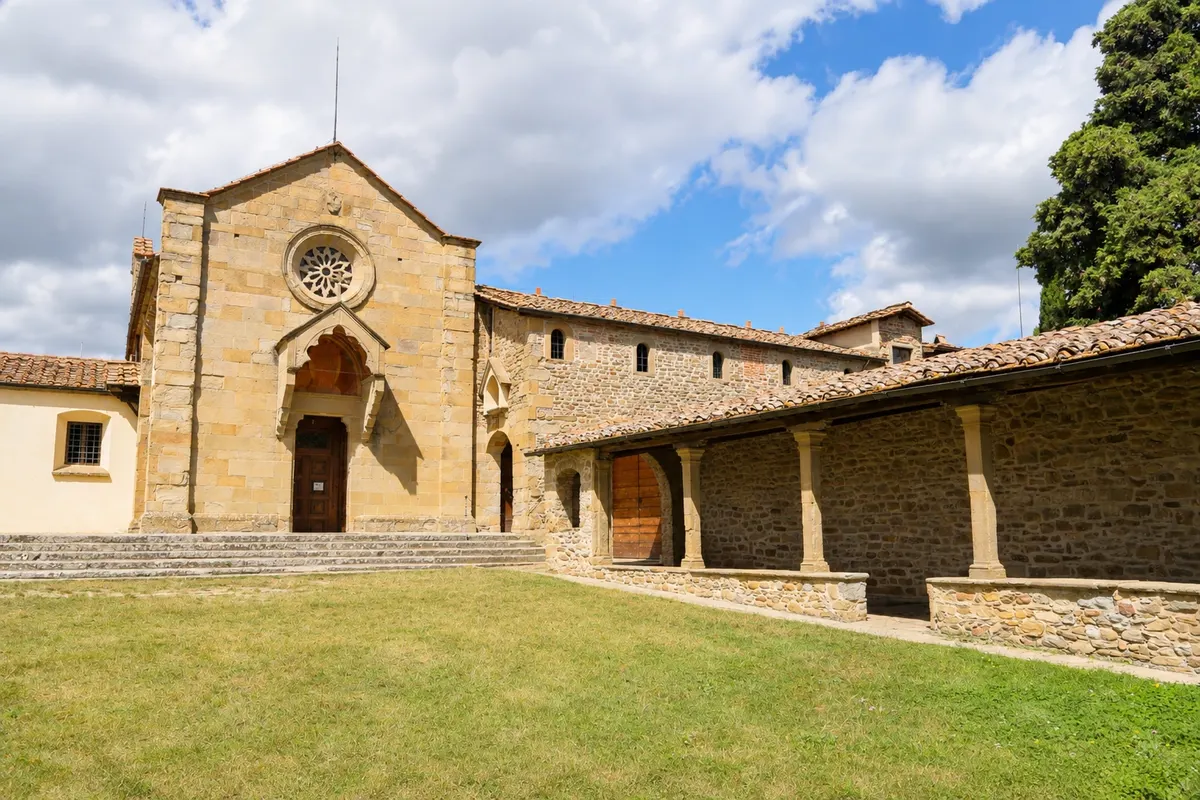
Fiesole
From Borgunto, enter the centre via Piazza Mino. Allow time for the theatre and the baths in the Archaeological Area. It is closed on Tuesdays from November to February and on December 25. There are buses to Florence from the square.
→ Florença circa 8 km On foot, descend via Via Vecchia Fiesolana. In the city, follow Via Giovanni Boccaccio to Le Cure, then Viale Giovanni Minzoni and Via San Gallo. The section ends at Piazza della Signoria.
-
 9 · Toscana
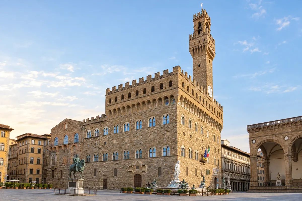
Florença
The crossing ends at Piazza della Signoria, in front of the Palazzo Vecchio. If you’re returning by train, head to Firenze Santa Maria Novella and allow time between the end of the walk and boarding.
Quanti giorni fermarsi
Allow 5 to 7 days. In six stages, walk from Bologna to Brento, then to Madonna dei Fornelli, to the Futa, to San Piero a Sieve, to Bivigliano or Vetta le Croci and finally to Florence.
Periodo consigliato
From April to June and from September to October, temperatures usually favour the climbs. In July and August, start early and carry extra water. From November to March, check for snow, mud and whether accommodations are open at higher altitudes.
I periodi indicati sono quelli più consueti. In natura le date possono variare.
Come seguire il percorso
Arrive at Bologna Centrale and walk to Piazza Maggiore. Follow the Via degli Dei signs with the route saved on your phone. Book all overnight stays, especially near the Futa, and confirm route variants, the forecast and water points before each stage. From Piazza della Signoria, go to Firenze Santa Maria Novella and board for Bologna Centrale. Check departures and book the high‑speed train.
A chi è rivolto
For hikers already used to consecutive long walking days. There are about 5,000 metres of accumulated ascent according to the organisers. The ground alternates between dirt, rocks, flagstones and asphalt. Expect prolonged climbs, descents on uneven terrain and sections exposed to the sun.
Lunghezza
Circa 130 km
Risposte alle domande più comuni
Via degli Dei from Bologna to Florence · Domande frequenti
How many days should I allow for the Via degli Dei?
Allow 5 to 7 days. In six days, use Brento, Madonna dei Fornelli, Passo della Futa or nearby, San Piero a Sieve and Bivigliano or Vetta le Croci as stage endpoints. Confirm availability before finalising your stage plan.
Where can I get the Via degli Dei credential?
Pick up a distribution point before you set off, such as the eXtraBO desk at Piazza del Nettuno in Bologna. The credential is optional. Carry it to the stamping points along the way and verify that each one is working.
Is there water along the whole route?
There are long stretches without confirmed water supplies at the higher stages. Leave Madonna dei Fornelli with enough water for the crossing toward the Futa. Check Walk+ for which points are available on the day and refill whenever you can in towns.
How do I get back from Florence to Bologna?
Board a direct train from Firenze Santa Maria Novella to Bologna Centrale. Check the station shown on your ticket, the last convenient departure, and any service notices. If you choose high-speed service, reserve a seat when you buy the ticket.
What should I take for walking several days?
Bring well-broken-in shoes with grippy soles, a rain jacket, lightweight layers, sun protection, water, food for each stage, and an offline copy of the trail for use when there’s no signal. Trekking poles help on descents. Check route variants and the weather before you set out.
Can I shorten a stage using public transport?
Casalecchio di Reno and Sasso Marconi have regional trains. San Piero a Sieve has a station on the Faentina line. In Fiesole, bus 7 descends from Piazza Mino to Piazza della Libertà in Florence. Check operating days and access to boarding points.
Oltre la guida


