

 Brasile
 Antartide
 Argentina
 Bolivia
 Cile
 Colombia
 Ecuador
 Guyana
 Guyana francese
 Isole Falkland
 Paraguay
 Perù
 Suriname
 Uruguay
 Venezuela
 Germania
 Austria
 Belgio
 Croazia
 Danimarca
 Slovacchia
 Slovenia
 Spagna
 Finlandia
 Francia
 Grecia
 Paesi Bassi
 Ungheria
 Irlanda
 Islanda
 Lussemburgo
 Norvegia
 Polonia
 Portogallo
 Regno Unito
 Cechia
 Svezia
 Svizzera
 Turchia
 Bermuda
 Canada
 Stati Uniti
 Groenlandia
 Messico
 Saint-Pierre e Miquelon
 Repubblica Dominicana
 Giappone
 Sudafrica
 Egitto
 Australia
 Figi
 Nuova Zelanda
 Papua Nuova Guinea
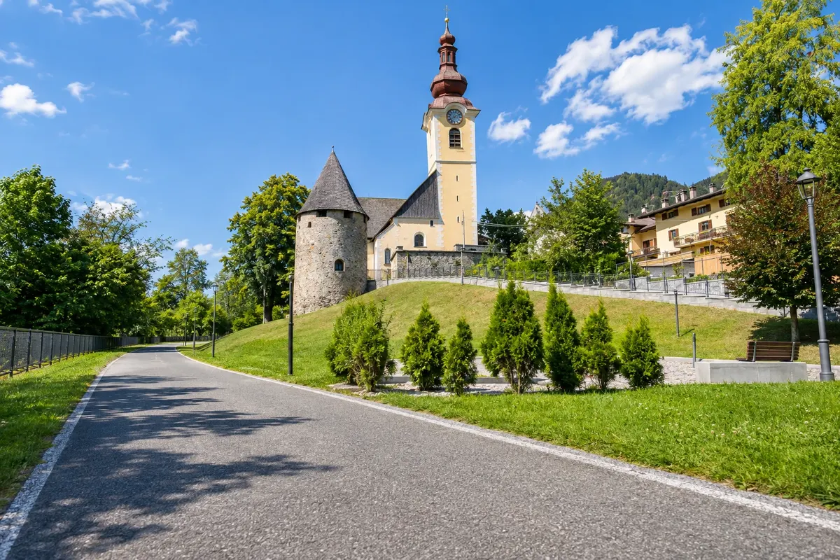
Itinerario · Friuli Venezia Giulia
Alpe Adria Cycle Path from Tarvisio to Grado
From the Julian Alps to the Adriatic along the FVG 1, with tunnels of an old railway, walled towns and the crossing of the Grado lagoon.
Nella foto: Alpe Adria Cycle Path on the Tarvisio section.
Illustrazioni dei luoghi. Le immagini di questa guida riproducono i luoghi reali attraverso illustrazioni. Alcuni particolari possono differire da quelli che vedrai sul posto.

L’itinerario
Alla scoperta di Alpe Adria Cycle Path from Tarvisio to Grado
The official route of the Alpe Adria Cycle Path descends from the Julian Alps to the Grado lagoon over 176.9 km, starting in Coccau, in the municipality of Tarvisio. From Tarvisio the route follows the Fella and Tagliamento valleys. Part of the cycle path runs on the trackbed of the old Pontebbana railway, with tunnels, bridges and disused stations. In Venzone and Gemona del Friuli, the stone buildings rebuilt after the 1976 earthquakes mark the transition between the Alps and the Friulian hills.
After Udine, the route crosses fields and canals of the plain. In Palmanova the streets converge on the square of a star-shaped fortress. The old railway line reappears between Cervignano and Aquileia, where the basilica mosaics preserve part of the Roman city’s history. The final stretch follows the embankment that crosses the lagoon to Grado, with water on both sides.
La mappa
7 città lungo il percorso
Contorni cartografici di Natural Earth, di pubblico dominio. Adattamento a cura di Cidade Turismo.
Il percorso
Di città in città
Distanze e tempi sono indicativi. Li verifichi prima di partire.
-
 1 · Friuli Venezia Giulia
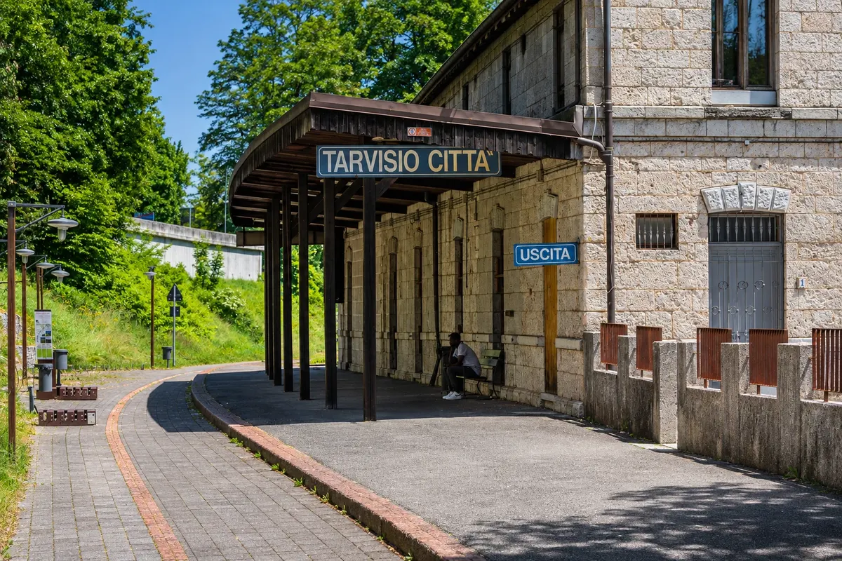
Tarvisio
Get off at Tarvisio Boscoverde. Pass through Piazza Unità if you need to pick up your bicycle in town. Adjust your panniers and test the lights. The official first stage starts in Coccau, a locality of the municipality of Tarvisio.
→ Venzone circa 65 km about 5 h 50 of cycling from Coccau The official stage measures 64.6 km from Coccau. Pass through Tarvisio, Camporosso, Valbruna and Ugovizza. After Pontebba, the old Pontebbana crosses the Fella valley via tunnels and bridges. Pass the former Chiusaforte station and continue through Resiutta and Carnia to Venzone.
-
 2 · Friuli Venezia Giulia
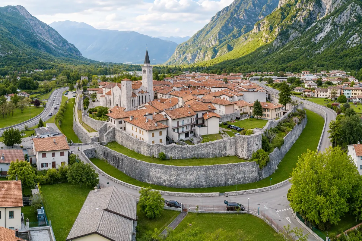
Venzone
Enter through the Porta San Genesio and cross the walled core on foot. The Duomo di Sant’Andrea was rebuilt with stones recovered after the 1976 earthquakes. Check access around services and use the center as the end of the first stage.
→ Gemona del Friuli The FVG 1 leaves Venzone via the Tagliamento corridor and links the valley to Ospedaletto and Gemona. Alternate the cycle path with signed local connections. To visit the historic center, allow a climb from the lower axis of the route.
-
 3 · Friuli Venezia Giulia
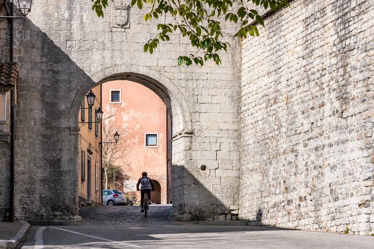
Gemona del Friuli
Leave the valley link to climb to the old town. Via Bini begins next to Porta Udine and the Duomo di Santa Maria Assunta. The façade has a sculpture of Saint Christopher and a gallery of Epiphany figures.
→ Údine From Gemona, follow FVG 1 signs toward Artegna and Buja. The terrain undulates between villages and glacially formed hills. Near Tavagnacco, the approach to Udine shifts from local roads to urban streets.
-
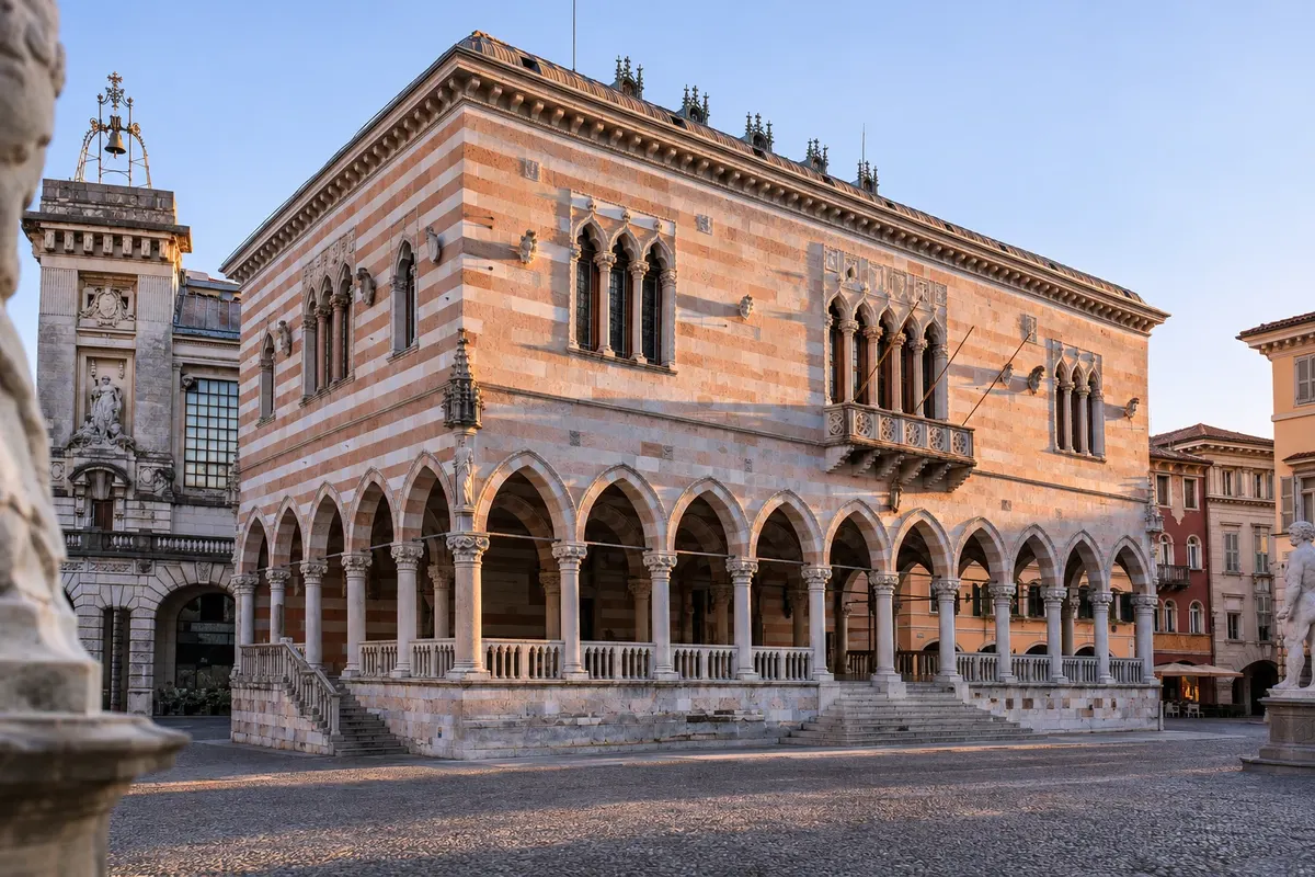 4 · Friuli Venezia Giulia
Údine
Leave the bicycle in the lower area and walk up from Piazza Libertà to the castle. The castle museums usually receive visitors from Tuesday to Sunday. The station, south of the center, can shorten the crossing or serve as the connection for the return.
→ Palmanova On the southeast exit of Udine, follow Baldasseria, Pradamano and Pavia di Udine. Secondary roads and dirt sections link villages and farmland to Tissano. As you approach Palmanova, orient yourself by the gates in the walls.
-
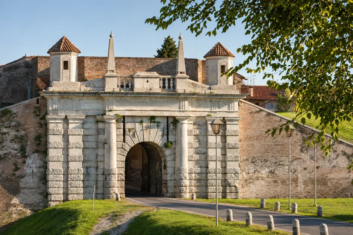 5 · Friuli Venezia Giulia
Palmanova
Follow one of the fortress gates to Piazza Grande. The hexagonal square helps you understand the city’s radial plan. Allow a pause for a stroll and check opening times if you want to enter the wall galleries.
→ Aquileia From Palmanova, cross the plain via Strassoldo toward Cervignano del Friuli. From there, the old railway alignment leads to Aquileia. The sign to Piazza Capitolo indicates the detour to the basilica.
-
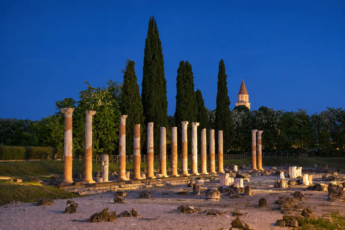 6 · Friuli Venezia Giulia
Aquileia
Leave the FVG 1 to reach Piazza Capitolo. The paleochristian mosaics of the basilica are seen from walkways. On Sundays, schedule the visit for the afternoon. See which sectors are accessible and confirm ticket office hours.
→ Grado After Aquileia, the cycle path continues over flat terrain between canals and fields. The embankment that crosses the lagoon leads to Grado with little shade and exposure to wind. Carry water for this section and slow your pace if there is a headwind.
-
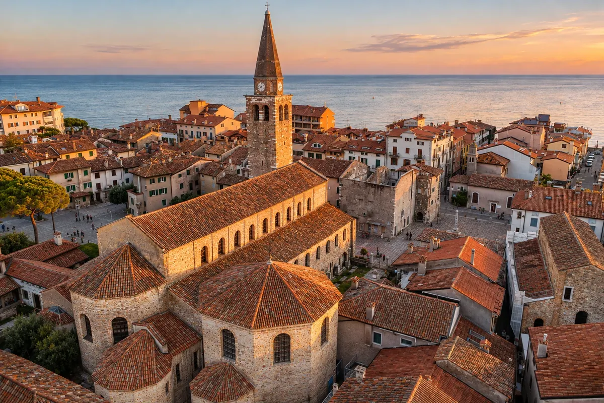 7 · Friuli Venezia Giulia
Grado
After leaving the embankment, continue to the port and walk the streets of the Castrum. In Campo Patriarca Elia, the Basilica of Sant’Eufemia preserves sixth-century mosaics. Confirm the Bicibus boarding point before taking your bike on board.
Quanti giorni fermarsi
Allow 3 days of cycling for the stages Tarvisio–Venzone, Venzone–Udine and Udine–Grado. In 4 days, split the final stage at Aquileia to visit the basilica and arrive in Grado with time to walk around the center.
Periodo consigliato
From May to September. May, June and September are usually milder on the plain. In July and August, start in the morning. The cycle path is closed between Tarvisio and Venzone from November to April. Check reopening dates and any detours before you set out.
I periodi indicati sono quelli più consueti. In natura le date possono variare.
Come seguire il percorso
Arrive by train at Tarvisio Boscoverde. For the full route, go to the starting marker in Coccau. To return, take the seasonal Bicibus from Grado to Udine or cycle to Cervignano and catch a regional train with bike space. From Udine, take the Micotra to Tarvisio Boscoverde. Confirm days of operation and reserve a spot when available. Book rentals and arrange the return. Bring lights for tunnels, a helmet, water, warm clothing and a repair kit.
A chi è rivolto
For cyclists who already ride several hours and can repeat the effort on consecutive days. The official route has about 800 m of total ascent and 1,480 m of descent. There are hills between Venzone and Udine. The surface alternates between paved paths, shared roads and compacted dirt on the plain. Use tires suitable for gravel.
Lunghezza
Circa 177 km
Risposte alle domande più comuni
Alpe Adria Cycle Path from Tarvisio to Grado · Domande frequenti
What is the best direction to cycle the Alpe Adria Cycle Path?
From Tarvisio to Grado, the net balance is downhill to the sea. The first day concentrates the mountain valleys. The second includes undulations before Udine.
Can you return from Grado to Tarvisio with your bicycle?
In season, check the Bicibus from Grado to Udine. Outside operating days, cycle to Cervignano to catch a regional train with bicycle space. In Udine, look for the Micotra with a stop at Tarvisio Boscoverde.
Is the entire route on paved cycle paths?
There are segregated paths, links on local roads and stretches of compacted dirt. Bring front and rear lights for the tunnels and check the updated route before each stage.
Where to rent a bicycle and how to return it in Grado?
There are rental companies in Tarvisio and Grado. Arrange pickup, drop-off in a different town, or collection in Grado in advance. If you return the bike in Tarvisio, confirm transport for the bicycle on the return trip.
How do I confirm whether the Bicibus is running on my return day?
Check the Udine–Grado line schedule. Service usually runs from April to September, with limited days at the very start and end of the season. Verify the boarding point, reservation requirements, and the luggage compartment capacity.
Do I have to use an electric bike?
A regular touring bike is fine for those used to riding multi-day stages. If you use an electric bike, plan recharges at overnight stops and confirm the transport rules for the specific model you choose.
Oltre la guida


