2 cities

 Search
 Brazil
 Argentina
 Bolivia
 Chile
 Colombia
 Ecuador
 Guyana
 French Guiana
 Falkland Islands (Malvinas)
 Paraguay
 Peru
 Suriname
 Uruguay
 Venezuela
 Germany
 Austria
 Belgium
 Croatia
 Denmark
 Spain
 Finland
 France
 Greece
 the Netherlands
 Hungary
 Ireland
 Iceland
 Italy
 Luxembourg
 Norway
 Poland
 Portugal
 the United Kingdom
 the Czech Republic
 Sweden
 Switzerland
 Turkey
 the United States
 Mexico
 the Dominican RepublicTurkey
 South Africa
 Australia
 Fiji
 New ZealandPapua New Guinea
Province · Momase Region
The East Sepik is the land of the Sepik River, spirit houses (haus tambaran) and woodcarving, with Wewak on the coast and Cape Wom.
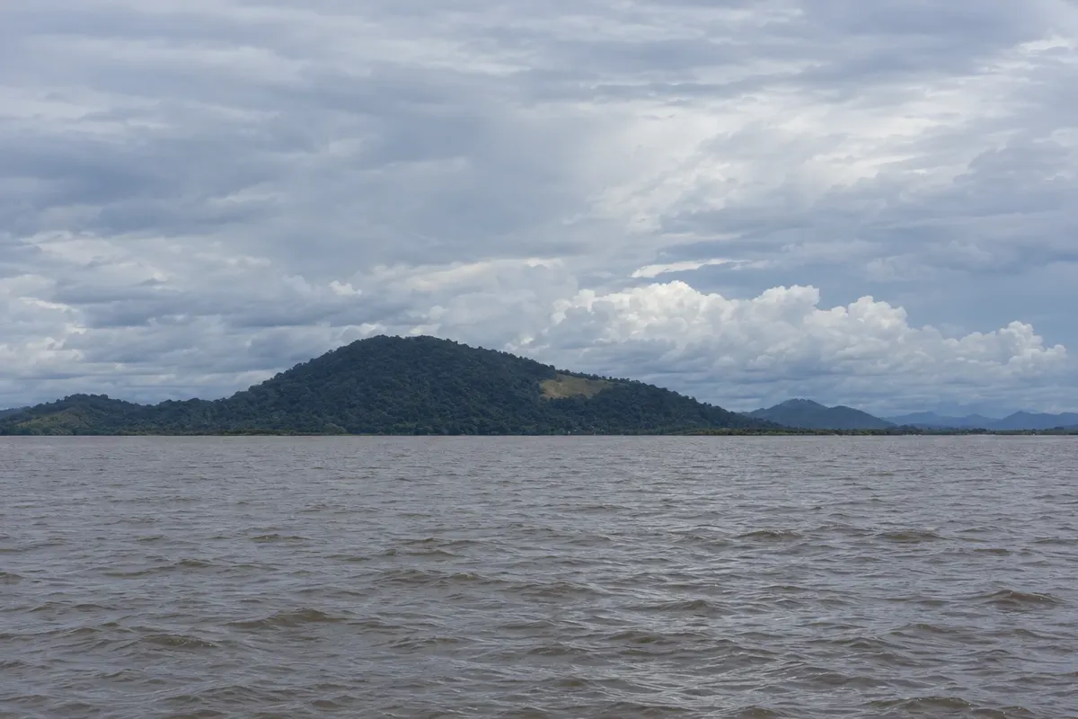
In the photo: Chambri Lake
Illustrative images. The pictures in this guide are illustrations based on the real place, not photographs, and may differ from it.

The province
East Sepik Province occupies the northern coast of Papua New Guinea and much of the Sepik River basin, one of the largest rivers in Oceania. The capital, Wewak, is on the coast, with nearby beaches and islands.
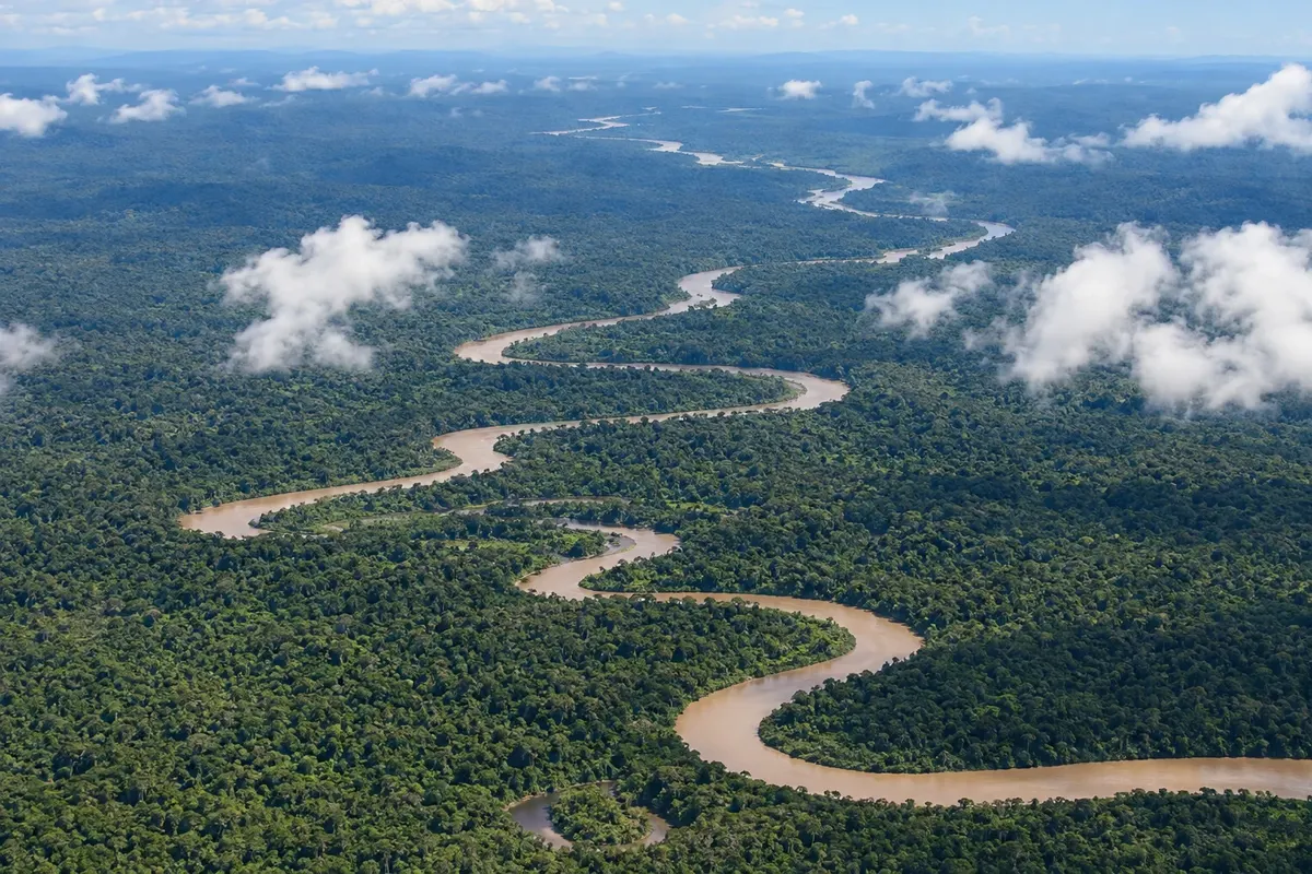
The Sepik winds in large bends through flooded plains, lakes and forests, and riverside villages are reached by motorized canoe. Pagwi and Ambunti, on the middle Sepik, are departure points for river trips and excursions to the Chambri lakes.
Sepik villages are known for their spirit houses, the haus tambaran, tall ceremonial buildings with painted facades, and for wood sculptures: masks, ancestral figures and hooks. In parts of the middle Sepik, boys’ initiation includes scarification that imitates crocodile skin, an animal linked to these peoples’ origin stories.
In Maprik, in the hills south of Wewak, the Abelam build very tall, triangular-fronted haus tambaran and cultivate long yams for ceremonies. Near Wewak, Cape Wom holds the memorial to the spot where the Japanese army surrendered to the Australians in 1945.
The Crocodile Festival in Ambunti brings together dances, canoe races and ceremonies of the river peoples. Combine Sepik trips with local operators.
Destinations
Cities
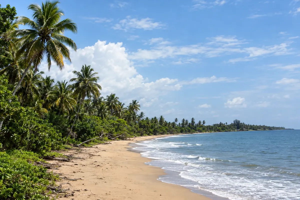
Wewak is the capital of East Sepik, on the northern coast, with nearby beaches and islands, and the gateway to the Sepik River. The airport occupies the former Japanese airstrip from World War II. West of the town centre, Cape Wom holds the memorial at the site where the Japanese army in New Guinea surrendered in 1945. From Wewak, a road runs south to Pagwi, in the middle Sepik.
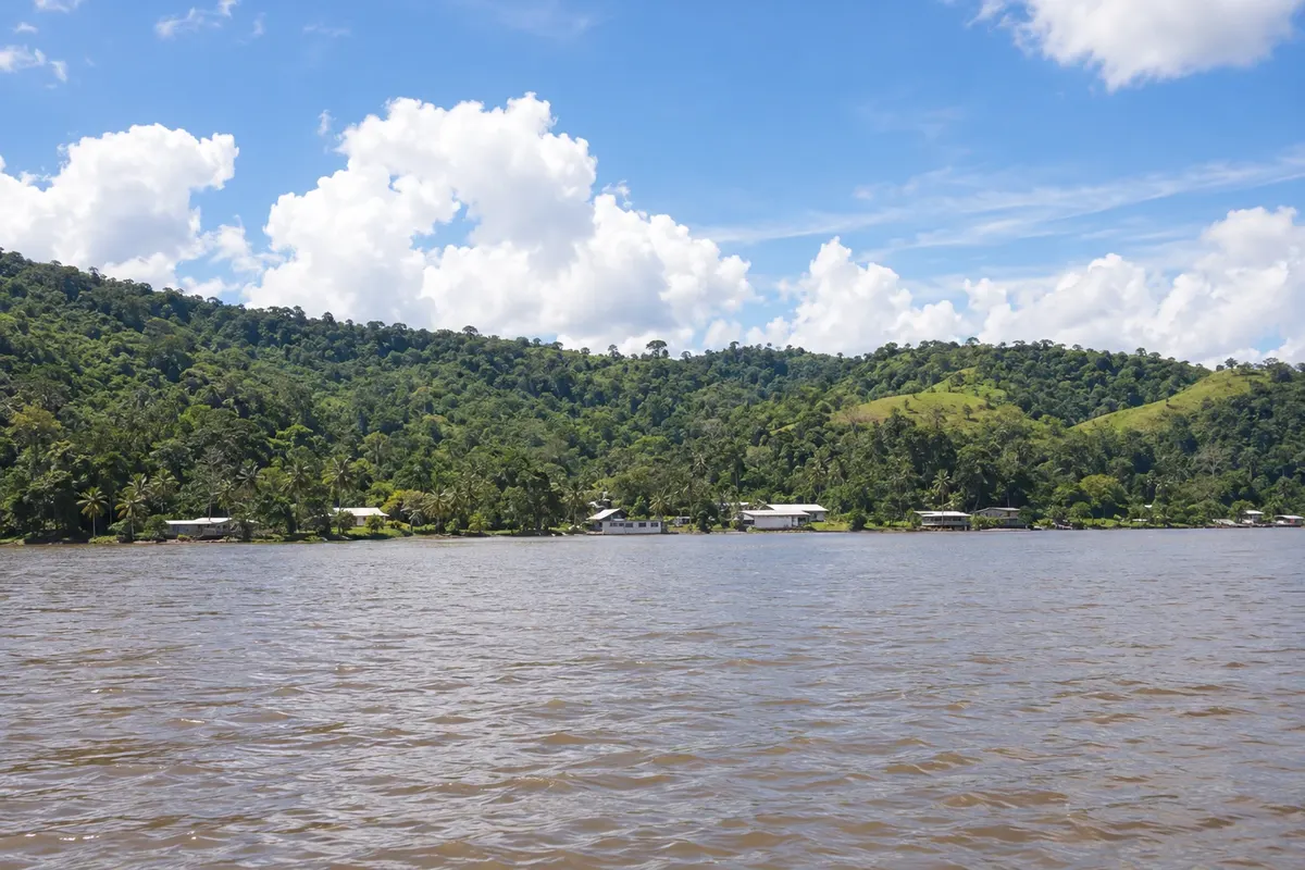
Ambunti is a small settlement on the mid-Sepik and the main base for motorized canoe trips on the river. From here you visit riverside villages with spirit houses and wood carvings, and the Chambri lakes, which are flooded by the monsoon. The locality has a simple riverside guesthouse and hosts the Crocodile Festival, created as part of river conservation programs.
The climate is hot and humid year-round. On the river, water levels change with rainfall in the mountains: in the drier months, from June to October, some channels and lakes become shallow; in the rainy months, the plains flood. Confirm conditions with operators and the Crocodile Festival dates before you go.
Wewak Airport (WWK) has flights from Port Moresby and other towns. From Wewak, a road runs south through Maprik to Pagwi on the Sepik. Ambunti has a runway for small planes. By river, travel is by motorized canoe, with local guides and operators.
Your questions
By motorized canoe, from Pagwi or Ambunti on the middle Sepik, with local guides who organize transport, village visits and simple community lodging. Trips usually last several days. Arrange everything in advance.
It is the spirit house, a village ceremonial building of the Sepik with a high roof and a painted or carved facade. Traditionally reserved for initiated men, it houses masks, flutes and sacred objects. In some villages, visits are allowed with the community’s permission.
For the middle Sepik, allow at least four or five days, plus time in Wewak, because of distances and boat transport. Longer trips include the Chambri lakes and villages of the upper or lower Sepik.
The beaches and nearby islands, the market and Cape Wom, with the memorial of the 1945 Japanese surrender. Wewak is also the base for road trips to Maprik and the Sepik River.