2 cities

 Search
 Brazil
 Argentina
 Bolivia
 Chile
 Colombia
 Ecuador
 Guyana
 French Guiana
 Falkland Islands (Malvinas)
 Paraguay
 Peru
 Suriname
 Uruguay
 Venezuela
 Germany
 Austria
 Belgium
 Croatia
 Denmark
 Spain
 Finland
 France
 Greece
 the Netherlands
 Hungary
 Ireland
 Iceland
 Italy
 Luxembourg
 Norway
 Poland
 Portugal
 the United Kingdom
 the Czech Republic
 Sweden
 Switzerland
 Turkey
 the United States
 Mexico
 the Dominican RepublicTurkey
 South Africa
 Australia
 Fiji
 New ZealandPapua New Guinea
Province · Papua Region
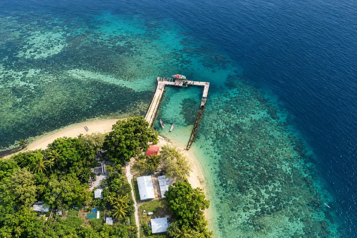
Milne Bay is the eastern tip of New Guinea and a sea of islands: Alotau, the Trobriand Islands, the 1942 history, and reef and wreck diving.
In the photo: Kaibola Beach, Kiriwina Island
Illustrative images. The pictures in this guide are illustrations based on the real place, not photographs, and may differ from it.

The province
Milne Bay Province occupies the eastern tip of the island of New Guinea and hundreds of islands in the Solomon Sea and the Coral Sea, such as the D'Entrecasteaux, the Trobriand Islands and the Louisiade Archipelago. The capital, Alotau, sits at the head of the bay that gives the province its name.
In 1942, the Battle of Milne Bay was one of the first defeats for Japanese land forces in World War II. In Alotau and the surrounding area there are memorials to the battle and remains of airstrips and structures from that time.
The Trobriand Islands, with Kiriwina Island and the small town of Losuia, became known through the anthropologist Bronisław Malinowski’s studies of the kula, the exchange circuit of shell necklaces and bracelets among the islands. The yam harvest, the milamala, is the major festival of the Trobriands, with dances and celebrations in the villages.
The province’s seas have reefs, walls, wrecks and sand-bottom bays popular for diving and snorkeling. In Alotau, the Kenu and Kundu Festival brings together war canoes and drum (kundu) groups from several islands, generally in early November.
Destinations
Cities
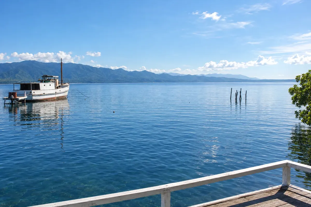
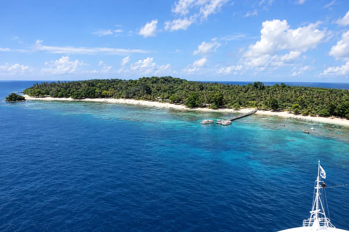
Alotau has been the capital of Milne Bay Province since 1969, on the bay’s northern shore facing the mountains. On the waterfront is the Milne Bay Memorial, dedicated to the 1942 battle; to the west, the Turnbull Field Memorial marks the point where the Japanese advance was halted. By boat, the former port town of Samarai in the China Strait makes a full-day outing. The town is the base for the bay’s dives and hosts the Kenu and Kundu Festival in November.
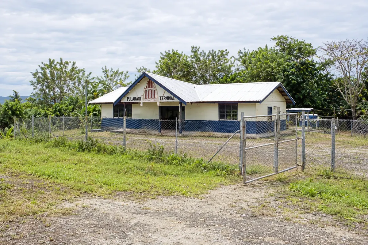
Losuia is the main settlement and the government station of the Trobriand Islands, on the island of Kiriwina. From here you can visit the island’s villages, with yam houses painted and decorated with shells, such as Omarakana, the village of the Trobriand paramount chief, and Kaibola Beach in the north, which has a reef for snorkeling. The island is flat, made of coral limestone, and life follows the yam calendar, whose harvest is celebrated in the milamala.
It rains year-round, with variations between the islands. From May to October the southeast winds blow, often making the sea rougher along parts of the coast; from November to April the northwest monsoon season brings warmer, more humid weather. The Kenu and Kundu Festival usually takes place in early November, and the Trobriand milamala around midyear: check the dates before you go.
Gurney Airport (GUR), near Alotau, has flights from Port Moresby. The Trobriand Islands have an airstrip at Kiriwina, served by small aircraft. Between the islands, transport is by boat, with local operators and dive boats; schedules are irregular so it’s best to arrange connections before travel.
Your questions
By small aircraft to Kiriwina’s airstrip, near Losuia, with flights from Port Moresby or from Alotau, depending on the season. There are also boat connections from Alotau, which are longer and irregular. Arrange accommodation in advance, as options on the islands are limited.
The festival usually takes place in Alotau in early November, featuring war canoe races, drum groups and dances from several islands of the province. Dates change year to year: check the official tourism calendar before you go.
It was the August–September 1942 fighting in which Australian and American forces repelled a Japanese landing in the bay. It is remembered as one of the first defeats of Japanese land forces in the war. In Alotau and nearby areas there are memorials and battle sites.
Yes — it is one of the country’s known diving destinations, with reefs, walls, wrecks and sand-bottom dives where small and rare animals can be seen. Trips depart from Alotau and from island accommodations, and there are boats that spend several days at sea.
Three or four days are usually enough for Alotau, the 1942 memorials and a few dives or boat trips. To include the Trobriand Islands, add another three or four days because of small aircraft schedules and distances.