2 cities

 Search
 Brazil
 Argentina
 Bolivia
 Chile
 Colombia
 Ecuador
 Guyana
 French Guiana
 Falkland Islands (Malvinas)
 Paraguay
 Peru
 Suriname
 Uruguay
 Venezuela
 Germany
 Austria
 Belgium
 Croatia
 Denmark
 Spain
 Finland
 France
 Greece
 the Netherlands
 Hungary
 Ireland
 Iceland
 Italy
 Luxembourg
 Norway
 Poland
 Portugal
 the United Kingdom
 the Czech Republic
 Sweden
 Switzerland
 Turkey
 the United States
 Mexico
 the Dominican RepublicTurkey
 South Africa
 Australia
 Fiji
 New ZealandPapua New Guinea
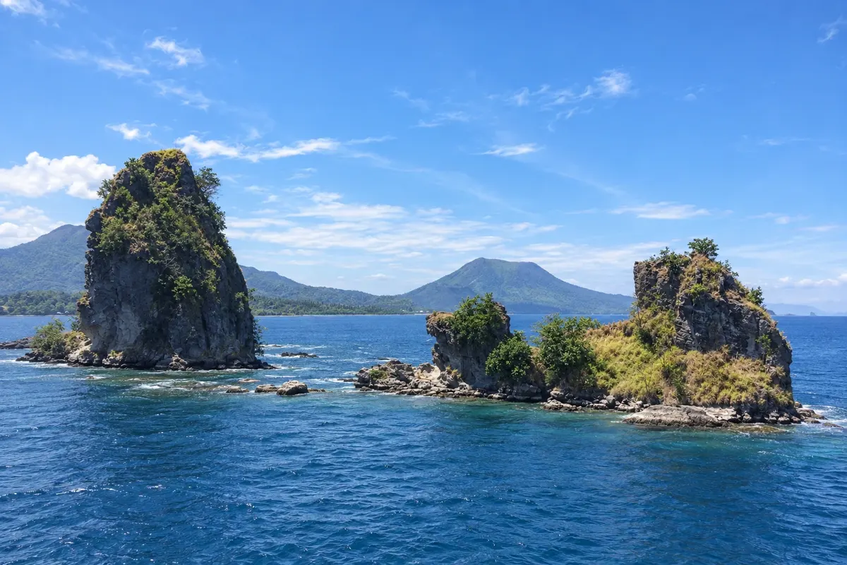
Province · Islands Region
Eastern New Britain has Rabaul and Kokopo: the caldera and the Tavurvur and Vulcan volcanoes, World War II tunnels and the July mask festival.
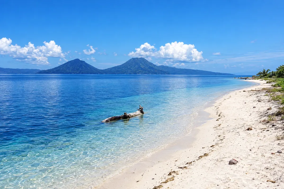
In the photo: Beach on the Duke of York Islands
Illustrative images. The pictures in this guide are illustrations based on the real place, not photographs, and may differ from it.

The province
The province of Eastern New Britain occupies the eastern part of the island of New Britain, including the Gazelle Peninsula and the Duke of York Islands. The capital, Kokopo, sits on the shore of Blanche Bay, near Rabaul.
Rabaul lies inside a volcanic caldera flooded by the sea and surrounded by volcanoes. In 1994, Tavurvur and Vulcan erupted at the same time, and ash covered much of the town; the provincial capital was then moved to Kokopo. Tavurvur remains active, and access to viewpoints around the caldera depends on the volcano’s conditions.
During World War II, Rabaul was the main Japanese base in the South Pacific. Tunnels, shelters, Admiral Yamamoto’s bunker and barge tunnels can still be visited, and the Kokopo War Museum and the Bita Paka war cemetery commemorate that period.
The Tolai, the people of the Gazelle Peninsula, have masked dancers called duk-duk and tubuan, and the Baining perform the fire dance at night using large masks. The National Mask and Warwagira Festival in July brings together groups from the province and other parts of the country.
Destinations
Cities
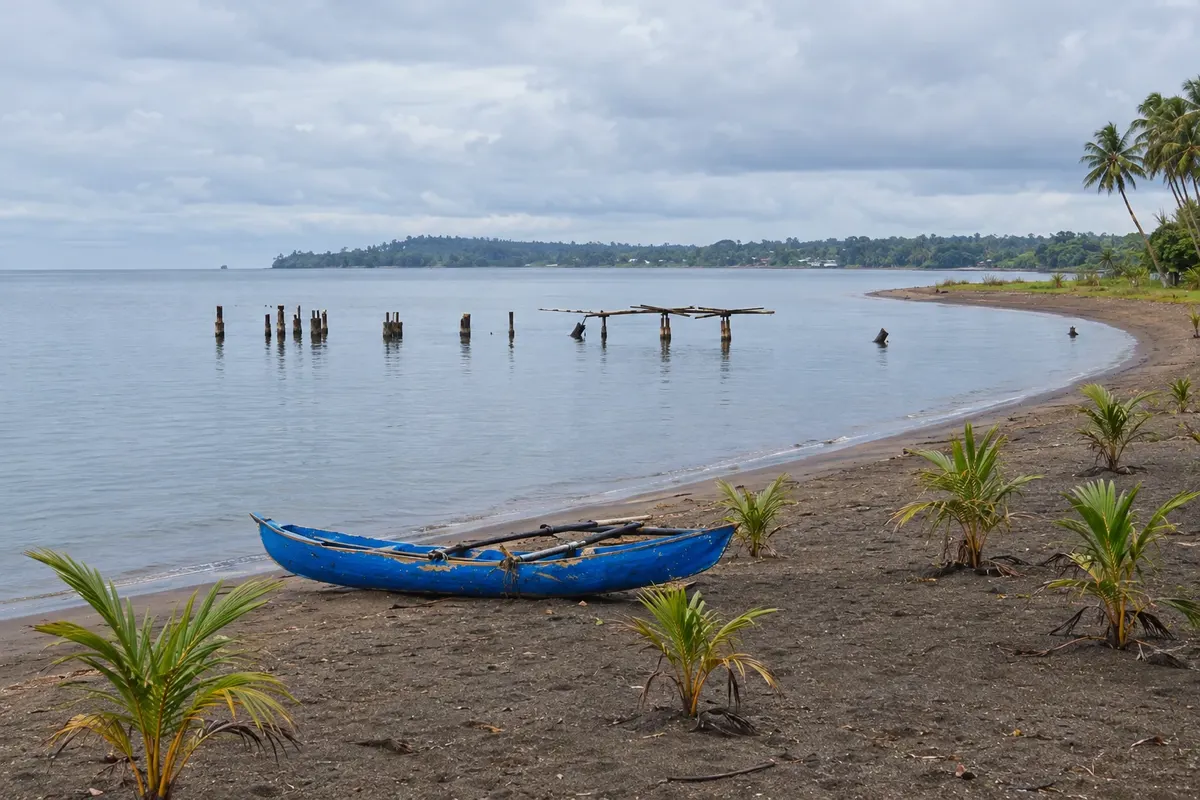
Kokopo has been the capital of East New Britain since 1994, when eruptions of Tavurvur and Vulcan covered Rabaul in ash. In the German era it was called Herbertshöhe and was the capital of German New Guinea until 1910. It lies on the shore of Blanche Bay, near Tokua Airport, and concentrates the region’s lodging. The War and Cultural Museum of Kokopo is in town, and to the south is the Bita Paka War Cemetery.
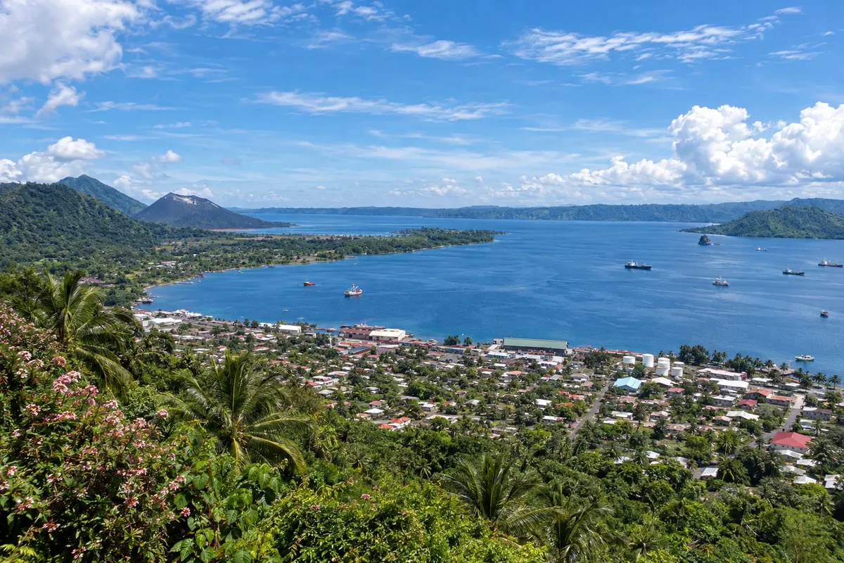
Rabaul lies within a volcanic caldera flooded by the sea, surrounding Simpson Harbour. The town was buried in ash during the 1994 eruption and is gradually rebuilding. There you can find the still-active Tavurvur volcano and the Rabaul Volcanological Observatory, which overlooks the caldera. From the time when Rabaul was the main Japanese base in the South Pacific remain Admiral Yamamoto’s bunker and the Japanese barge tunnels cut into the rock at Karavia Bay.
The climate is warm and humid year-round, with frequent rain that is heavier from December to March. From May to October, days are usually somewhat drier. The National Mask and Warwagira Festival takes place in July: check the dates before you go.
Tokua Airport (RAB), east of Kokopo, has flights from Port Moresby and other towns. From Tokua, roads lead to Kokopo and Rabaul. The Duke of York Islands are reached by boat from Kokopo.
Your questions
The Tavurvur and Vulcan volcanoes erupted at the same time, and ash covered much of Rabaul. The town was evacuated, and the provincial capital was moved to Kokopo. Part of Rabaul remains inhabited.
Yes. Shelters, tunnels, Admiral Yamamoto’s bunker and tunnels used to hide barges are among the sites visited with local guides in Rabaul and Kokopo. The Kokopo War Museum complements the visit.
The National Mask and Warwagira Festival takes place in July in Eastern New Britain, featuring Tolai duk-duk and tubuan dancers, the Baining fire dance and groups from other provinces. Dates change from year to year: check before you go.
Three or four days are usually enough for the caldera and volcanoes, the war tunnels and museums, a dive or trip to the Duke of York Islands and a cultural performance.