

 Brazil
 Argentina
 Bolivia
 Chile
 Colombia
 Ecuador
 Guyana
 French Guiana
 Falkland Islands (Malvinas)
 Paraguay
 Peru
 Suriname
 Uruguay
 Venezuela
 Germany
 Austria
 Belgium
 Croatia
 Denmark
 Spain
 Finland
 France
 Greece
 the Netherlands
 Hungary
 Ireland
 Iceland
 Italy
 Luxembourg
 Norway
 Poland
 Portugal
 the United Kingdom
 the Czech Republic
 Sweden
 Switzerland
 Turkey
 the Dominican Republic
 South Africa
 Fiji
State · Nordeste (Monterrey)
Tamaulipas
Tamaulipas, on the Gulf of Mexico: Tampico and the Plaza de Armas, Miramar beach, the El Cielo reserve and the capital, Ciudad Victoria.
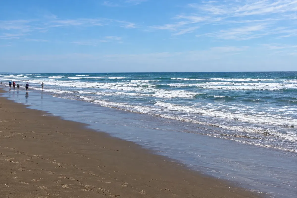
In the photo: Miramar Beach, Ciudad Madero
Illustrative images. The pictures in this guide are illustrations based on the real place, not photographs, and may differ from it.

The state
Get to know Tamaulipas
Tamaulipas lies in northeastern Mexico, between the Texas border and the Gulf of Mexico. It is a state of plains, coastal lagoons and forested sierras, better known for its ports and agriculture than for international tourism.
Tampico, in the south, grew up with oil in the early 20th century. The downtown has the Cathedral of the Immaculate Conception on the Plaza de Armas and iron buildings with balconies that recall New Orleans, around the Plaza de la Libertad. Next door, in Ciudad Madero, Miramar beach has about 10 km of sand on the Gulf.
In the southwest, the El Cielo biosphere reserve, near Gómez Farías, protects cloud forests and tropical woodlands in the mountains, with trails and a large variety of birds and orchids. Tula, on the plateau, is a Pueblo Mágico with old houses.
The capital, Ciudad Victoria, sits in the centre of the state, at the foot of the sierra. On the table, carne a la tampiqueña and stuffed jaiba (crab), a dish from the Tampico coast.
When to go
From October to April days are usually milder, although north winds can bring cold days. From May to September it is very hot, and June to October is hurricane season in the Gulf. Tamaulipas is 3 hours behind Brasília; the border municipalities move the clock forward from March to November.
Getting there
Tampico airport (TAM) receives flights from Mexico City and other cities; Ciudad Victoria (CVM) also has an airport. From Monterrey, Ciudad Victoria is about a 4-hour drive. For the El Cielo reserve, the base is Gómez Farías, roughly 1.5 hours from Ciudad Victoria.
Your questions
Frequently asked questions about Tamaulipas
What to see in Tampico?
The cathedral and the Plaza de Armas, the iron buildings around the Plaza de la Libertad, and Miramar beach in Ciudad Madero.
What is the El Cielo reserve?
A biosphere reserve in the mountains, with cloud forests, trails and many species of birds and orchids.
When to visit the Tamaulipas coast?
From October to April the heat is milder. Summer is very hot and coincides with hurricane season.
How to get to Tampico?
By plane from Mexico City or by bus, about a 7-hour ride from the country's capital.