

 Brazil
 Argentina
 Bolivia
 Chile
 Colombia
 Ecuador
 Guyana
 French Guiana
 Falkland Islands (Malvinas)
 Paraguay
 Peru
 Suriname
 Uruguay
 Venezuela
 Germany
 Austria
 Belgium
 Croatia
 Denmark
 Slovakia
 Slovenia
 Spain
 Finland
 France
 Greece
 the Netherlands
 Hungary
 Ireland
 Iceland
 Italy
 Luxembourg
 Norway
 Poland
 Portugal
 the United Kingdom
 the Czech Republic
 Sweden
 Switzerland
 Turkey
 Bermuda
 Canada
 the United States
 the Dominican Republic
 South Africa
 Egypt
 Australia
 Fiji
 New Zealand
 Papua New Guinea
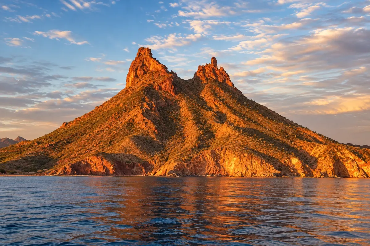
Mountain and trail · San Carlos, Sonora
Tetakawi Hill
Two‑peaked volcanic hill above San Carlos bay, symbol of the village, with a trail to the top and views of the Sea of Cortez.
Illustrative images. The pictures in this guide are illustrations based on the real place, not photographs, and may differ from it.



Discover
About Tetakawi Hill
Cerro Tetakawi is the two‑peaked hill that rises above San Carlos bay, made of volcanic rock, visible from almost every point in the village.
A steep trail climbs the slope from the beach area, with stretches of loose rock, up to a saddle between the two peaks, from where you can see the bay, the coves, the marina and the open sea. The route generally takes one to two hours to ascend.
Seen from the beach, Tetakawi changes color during the day, turning reddish late in the afternoon.
The slope is loose rock and almost without shade, with desert cacti and shrubs. Those who do not want to climb can view the hill from San Carlos beach and from boats that leave the marina and pass close to its base.
Before you go
Practical information
Cidade Turismo reviews its information regularly, but something may have changed. Check with the place before planning your trip.
How much time to set aside
Two to four hours, including the trail.
Best time
At dawn, from October to May; avoid the ascent during the hottest hours and in summer.
How to get there
The trail starts near San Carlos beach, a few kilometers from the marina, reachable by car or taxi.
Tip
Wear trail shoes, carry plenty of water and descend before the sun gets strong.
Get your questions answered
Frequently asked questions about Tetakawi Hill
How long is the Tetakawi trail?
Generally one to two hours each way, on a steep path.
Where does the Tetakawi trail start?
Near San Carlos beach, a few kilometers from the marina.
What time should I climb Tetakawi?
At dawn, before the heat.