

 Brazil
 Argentina
 Bolivia
 Chile
 Colombia
 Ecuador
 Guyana
 French Guiana
 Falkland Islands (Malvinas)
 Paraguay
 Peru
 Suriname
 Uruguay
 Venezuela
 Germany
 Austria
 Belgium
 Croatia
 Denmark
 Slovakia
 Slovenia
 Spain
 Finland
 France
 Greece
 the Netherlands
 Hungary
 Ireland
 Iceland
 Italy
 Luxembourg
 Norway
 Poland
 Portugal
 the United Kingdom
 the Czech Republic
 Sweden
 Switzerland
 Turkey
 Canada
 Mexico
 the Dominican Republic
 South Africa
 Australia
 Fiji
 New Zealand
 Papua New Guinea
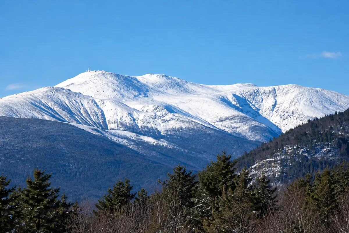
Mountain · North Conway, New Hampshire
Mount Washington
The highest point in the northeastern United States at 1,917 meters, known for its winds and extreme weather. At the summit are the weather observatory, a visitor center and the Tip-Top House from 1853.
Illustrative images. The pictures in this guide are illustrations based on the real place, not photographs, and may differ from it.



Discover
About Mount Washington
Mount Washington is 1,917 meters high and is the highest peak in the northeastern United States. Its location along the path of several air currents makes it a place of very unstable weather: on April 12, 1934, the summit observatory recorded gusts of 372 km/h, the strongest wind ever directly measured at the surface in the Western Hemisphere. Hurricane-force winds occur on more than a hundred days each year.
The summit is a state park. The Sherman Adams building, open in season, houses a visitor center, snack bar and the observatory headquarters, with a small museum about the mountain’s climate. Beside it stands the Tip-Top House, a stone hotel from 1853 that survived the 1908 fire and is now a historic site.
Above the tree line, the mountain has alpine tundra vegetation, with small flowers that usually bloom in June. The Appalachian Trail crosses the summit, and on the southeast slope is Tuckerman Ravine, a glacial cirque used for spring skiing.
On clear days the view reaches Quebec, the Atlantic and neighboring states. It is common, however, for the summit to be covered in clouds, with fog and strong wind even in summer.
Before you go
Practical information
Cidade Turismo reviews its information regularly, but something may have changed. Check with the place before planning your trip.
How much time to set aside
One to two hours at the summit; the drive up the road takes about half an hour, the train about an hour, and on foot four to eight hours round trip.
Best time
Mid-May to mid-October, when the summit building is open. Prefer clear mornings: clouds usually form in the afternoon. Summer averages near 10 °C at the summit, and it can snow any month.
How to get there
By the Mount Washington Auto Road from Pinkham Notch, about 35 km from North Conway, by the cog railway departing Bretton Woods, or on foot. The road and railway charge fees and run in season; check schedules and conditions for the day.
Tip
Bring a jacket, hat and waterproof clothing even in August. Check the observatory forecast before ascending and turn back if the wind is very strong.
Official website
Get your questions answered
Frequently asked questions about Mount Washington
How tall is Mount Washington?
About 1,917 meters. It’s the highest point in the northeastern United States.
Why does Mount Washington have the worst weather?
It sits at the convergence of several air currents and storms, and the shape of the mountain ranges accelerates the wind. The summit observatory recorded gusts of 372 km/h in 1934.
How do you climb Mount Washington?
By car, via the Auto Road; by train, on the cog railway departing from Bretton Woods; or on foot, via long and demanding trails. Road and train operate only during the season.
Is it cold on the summit of Mount Washington in summer?
Yes. The summer average at the summit is near 10 °C, with strong wind and frequent fog; it can snow in any month.