

 Brazil
 Argentina
 Bolivia
 Chile
 Colombia
 Ecuador
 Guyana
 French Guiana
 Falkland Islands (Malvinas)
 Paraguay
 Peru
 Suriname
 Uruguay
 Venezuela
 Germany
 Austria
 Belgium
 Croatia
 Denmark
 Slovakia
 Slovenia
 Spain
 Finland
 France
 Greece
 the Netherlands
 Hungary
 Ireland
 Iceland
 Italy
 Luxembourg
 Norway
 Poland
 Portugal
 the United Kingdom
 the Czech Republic
 Sweden
 Switzerland
 Turkey
 Canada
 Mexico
 the Dominican Republic
 South Africa
 Australia
 Fiji
 New Zealand
 Papua New Guinea
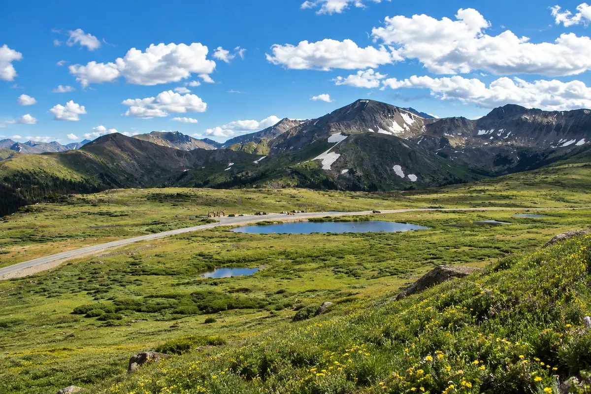
Scenic highway · Aspen, Colorado
Independence Pass
Mountain road that climbs from Aspen to the Continental Divide at 3,687 meters, with viewpoints and the ghost town of Independence. It closes in winter.
Illustrative images. The pictures in this guide are illustrations based on the real place, not photographs, and may differ from it.


Discover
About Independence Pass
Independence Pass is the section of State Highway 82 that connects Aspen to the Arkansas River valley, crossing the Continental Divide at 3,687 meters elevation. It is one of the highest paved roads in Colorado and one of the routes between Aspen and Denver.
The road climbs in switchbacks through the Roaring Fork valley, with narrow sections alongside rock walls. Along the way is Independence, a ghost town from the 1879 gold rush, with preserved wooden buildings. At the top of the pass, a short paved trail leads to viewpoints over the alpine tundra and the peaks of the Sawatch Range.
The road closes in winter, generally from early November to late May, because of snow. Very long vehicles cannot use the narrowest section.
Before you go
Practical information
Cidade Turismo reviews its information regularly, but something may have changed. Check with the place before planning your trip.
How much time to set aside
Two to four hours, round trip from Aspen, with stops.
Best time
From June to October, while the road is open. Mornings usually have clearer skies; in summer afternoons, thunderstorms are common.
How to get there
By car, via Highway 82, east of Aspen. The top of the pass is about 30 km from downtown.
Tip
Check the Colorado Department of Transportation website to see if the road is open. Bring a jacket: at the top of the pass, even in summer, temperatures can approach zero °C.
Official website
Get your questions answered
Frequently asked questions about Independence Pass
When is Independence Pass open?
Generally from late May to early November. In winter it is closed because of snow; check conditions on the Colorado Department of Transportation website.
What is along the route of Independence Pass?
The ghost town of Independence from the gold rush, viewpoints over the Roaring Fork valley, and at the top a short trail through alpine tundra.
Can you go from Aspen to Denver via Independence Pass?
In summer, yes, and the route is shorter than via Highway 70. In winter, with the pass closed, the route goes via Glenwood Springs.