

 Brazil
 Argentina
 Bolivia
 Chile
 Colombia
 Ecuador
 Guyana
 French Guiana
 Falkland Islands (Malvinas)
 Paraguay
 Peru
 Suriname
 Uruguay
 Venezuela
 Germany
 Austria
 Belgium
 Croatia
 Denmark
 Slovakia
 Spain
 Finland
 France
 Greece
 the Netherlands
 Hungary
 Ireland
 Iceland
 Italy
 Luxembourg
 Norway
 Poland
 Portugal
 the United Kingdom
 the Czech Republic
 Sweden
 Switzerland
 Turkey
 Canada
 the United States
 Mexico
 the Dominican Republic
 South Africa
 Australia
 Fiji
 New Zealand
 Papua New Guinea
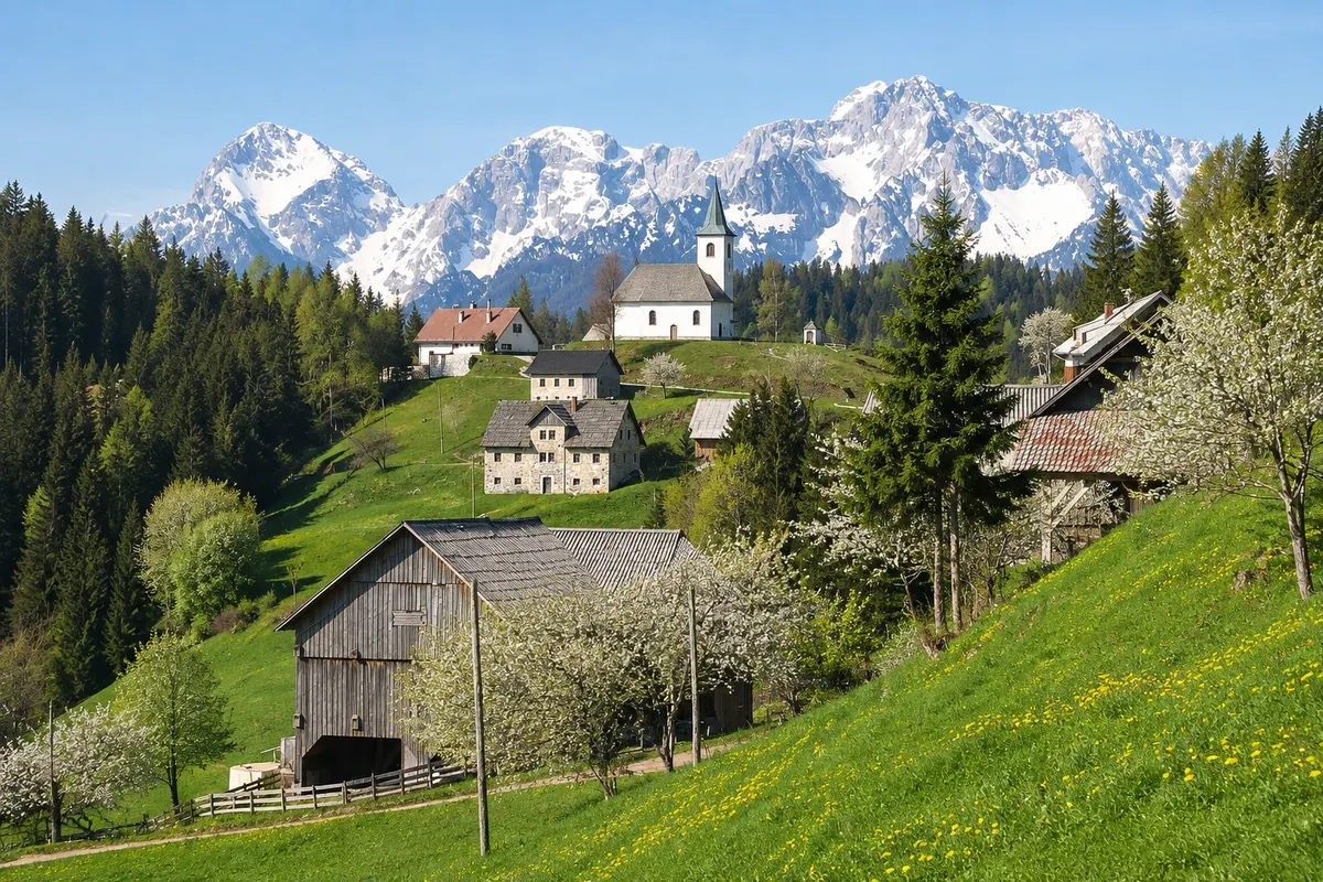
Panoramic road · Solčava, Savinjska
Solčava Panoramic Road
Mountain road that climbs the slopes above Solčava, passing farms and viewpoints, with views over the Logar, Robanov kot and Matkov kot valleys and the peaks of the Kamnik–Savinja Alps.
Illustrative images. The pictures in this guide are illustrations based on the real place, not photographs, and may differ from it.

Discover
About Solčava Panoramic Road
The Solčava Panoramic Road (Solčavska panoramska cesta) rises from the Savinja valley floor up to the slopes above the valleys and returns to the valley. Along the way the road passes mountain farms scattered across the slopes, pasture meadows and woods, with views over Solčava’s three valleys and the peaks of the Kamnik–Savinja Alps.
There are signposted viewpoints along the road, such as Pastirkovo lookout with views of the Logar Valley. Above Solčava stands the small Church of the Holy Spirit (Sveti Duh). Many farms welcome visitors, serve meals and sell local products like wool from Jezersko‑Solčava sheep, cured meats and herbal teas.
The road is narrow, with steep sections and curves, and is also used by cyclists. It can be driven in one direction only by combining the climb from the Logar Valley entrance with the descent back to Solčava, and it pairs well with a visit to the valley on the same day.
Before you go
Practical information
Cidade Turismo reviews its information regularly, but something may have changed. Check with the place before planning your trip.
How much time to set aside
One to two hours by car with stops at viewpoints; half a day including lunch at a farm.
Best time
From June to October on clear days for views of the peaks; late afternoon low light emphasizes the relief of the valleys. In winter snow can close sections of the road.
How to get there
The road leaves the main Savinja valley road between Solčava and the entrance to the Logar Valley and returns to it near Solčava. The Rinka visitor centre in Solčava has route maps.
Tip
Plan ahead: get the map at the visitor centre, drive slowly on narrow sections and use pullouts to let oncoming cars pass.
Official website
Get your questions answered
Frequently asked questions about Solčava Panoramic Road
What is the Solčava Panoramic Road?
A mountain road that runs along the slopes above Solčava, between farms and viewpoints, with views over the three valleys and the Kamnik–Savinja Alps.
How long does it take to drive the Panoramic Road?
One to two hours by car with stops at the viewpoints; half a day if you include a meal at a farm.
Is the Solčava Panoramic Road difficult to drive?
It is narrow, with steep sections and curves, and used by cyclists. Drive slowly and use the pullouts to pass other cars.