Thunder Bay
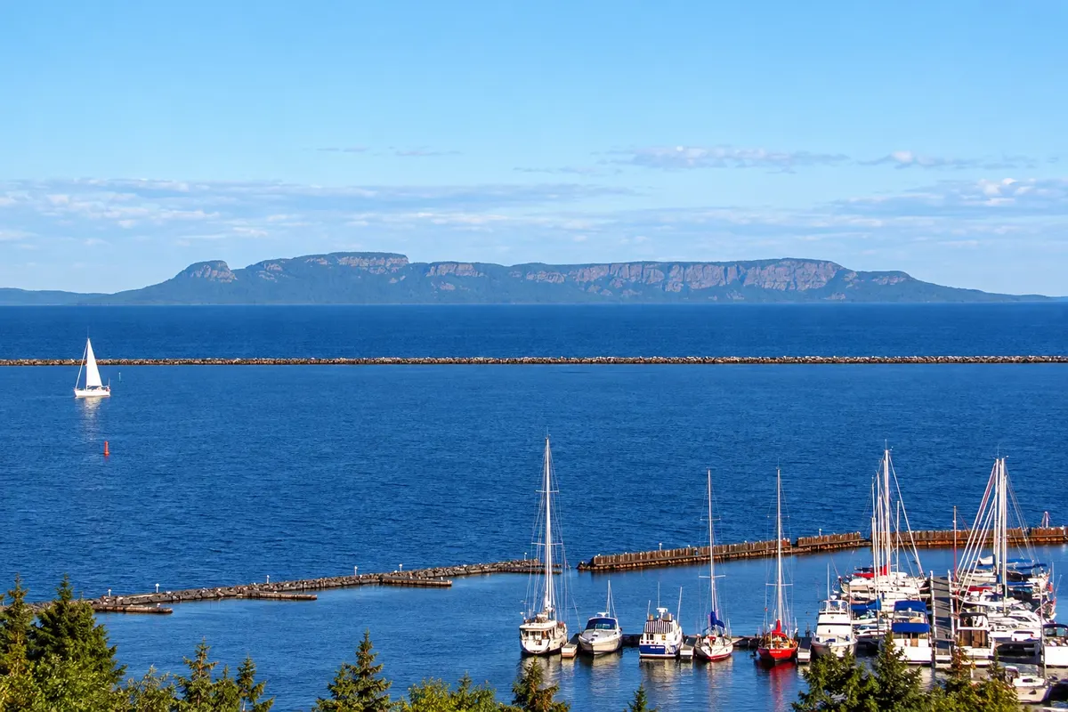
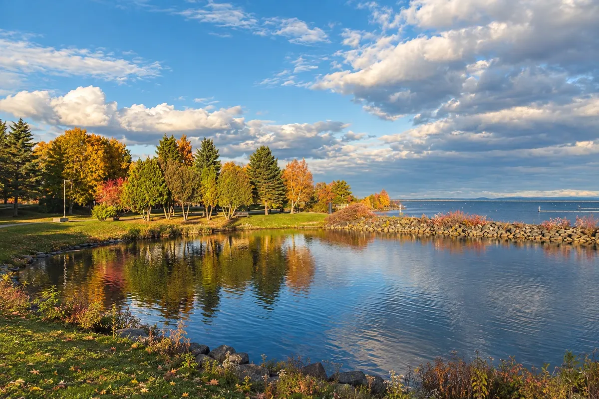
A port city on the north shore of Lake Superior, with views of the Sleeping Giant, a marina and a waterfront in Port Arthur. Nearby are Kakabeka Falls, the reconstructed fur-trade fort and the Terry Fox memorial.
Ontario · Canada
The port city on Lake Superior, featuring Kakabeka Falls, a reconstructed fur-trade fort, and the Sleeping Giant silhouette over the bay.
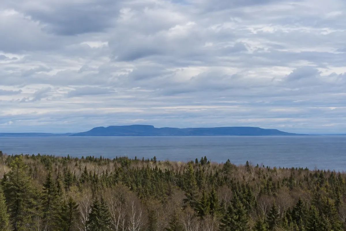
In the photo: Sleeping Giant seen from the Thunder Bay waterfront.
Illustrative images. The pictures in this guide are illustrations based on the real place, not photographs, and may differ from it.
Get to know the place
Thunder Bay sits on the north shore of Lake Superior in northwestern Ontario, far from major urban centers. It is the westernmost port on the Great Lakes, where prairie grain is shipped east. The city was formed by the merger of Fort William and Port Arthur in 1970.
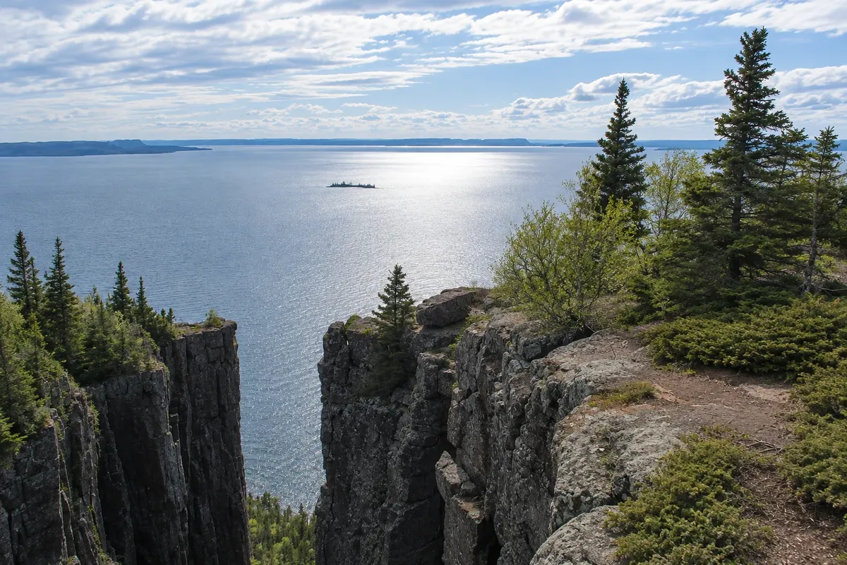
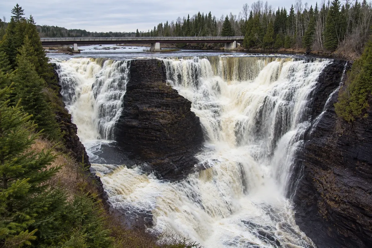
From the waterfront you can see the Sleeping Giant, a peninsula of cliffs whose profile resembles a man lying on his back over the lake. The provincial park that protects it has trails up to the top of the cliffs. About 30 km to the west, the Kaministiquia River plunges 40 meters at Kakabeka Falls.
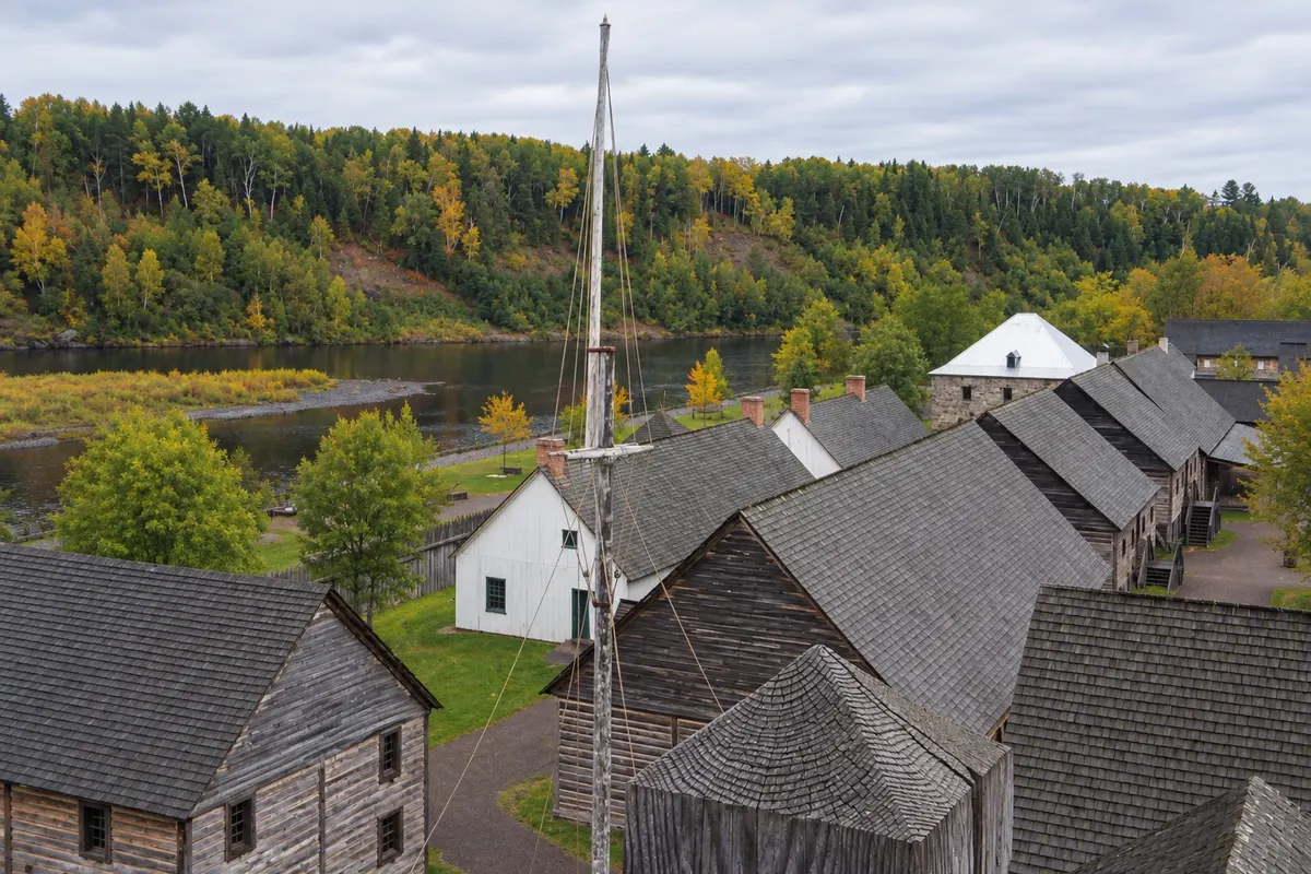
In the early 19th century, Fort William was the meeting point for fur traders of the North West Company who came by canoe from Montreal. The fort has been reconstructed on the riverbank. The city also preserves the Terry Fox memorial, near the spot where he halted his run across Canada in 1980.
Thunder Bay is a stop on the Trans-Canada between Ontario and Manitoba and a base for exploring the nature of Lake Superior.
This destination brings together 1 city: Thunder Bay.
One destination, many paths
Start with one city or combine several in your itinerary.
Boundaries: Statistics Canada (Statistics Canada Open Licence) / geoBoundaries. Adapted by Cidade Turismo.
✈ Thunder Bay International Airport (YQT) · 5 km to Thunder Bay
Thunder Bay Airport (YQT) receives flights from Toronto, Winnipeg and other cities. By car, the city is about 1,400 km from Toronto and about 700 km from Winnipeg via the Trans-Canada.
The local experience
A 40-meter waterfall on the Kaministiquia River, in a shale canyon with fossils about 1.6 billion years old, with boardwalks and viewpoints.
A riverside reconstruction of the North West Company post as it was in 1816, the fur-trade center, with dozens of buildings and guides dressed in period clothing.
A peninsula of cliffs on Thunder Bay whose profile resembles a man lying down, protected by a provincial park with a trail to the top of the cliffs.
Bronze statue of Terry Fox on a hill beside the Trans-Canada Highway, near where he stopped his run across Canada in 1980, with views of Lake Superior.
Before you go
A little planning leaves more time to enjoy the journey.
From June to September, when trails are open, the fort is operating and days are long. Late September and early October bring autumn colors. Winter is long and cold.
The seasons shown are the most usual ones; nature doesn't always follow the calendar.
Two or three days: one for Kakabeka and the fort, one for the Sleeping Giant and the waterfront.
Hotel options are near Port Arthur’s downtown by the marina and in Fort William’s center. There are highway motels along the Trans-Canada and campgrounds in the provincial parks.
Take your trash with you, follow the signs and support local businesses. In natural areas, follow the visiting guidelines.
Get your questions answered
A peninsula of cliffs in Thunder Bay whose profile looks like a man lying over the lake.
Yes. Kakabeka, the fort and the Sleeping Giant are outside the downtown.
Two or three days.
About 700 km, roughly an 8-hour drive.
The same as Toronto: UTC−5, and UTC−4 from March to November.