

 Brazil
 Argentina
 Bolivia
 Chile
 Colombia
 Ecuador
 Guyana
 French Guiana
 Falkland Islands (Malvinas)
 Paraguay
 Peru
 Suriname
 Uruguay
 Venezuela
 Germany
 Austria
 Belgium
 Croatia
 Denmark
 Slovakia
 Slovenia
 Spain
 Finland
 France
 Greece
 the Netherlands
 Hungary
 Ireland
 Iceland
 Italy
 Luxembourg
 Norway
 Poland
 Portugal
 the United Kingdom
 the Czech Republic
 Sweden
 Switzerland
 Turkey
 the United States
 Mexico
 the Dominican Republic
 South Africa
 Australia
 Fiji
 New Zealand
 Papua New Guinea
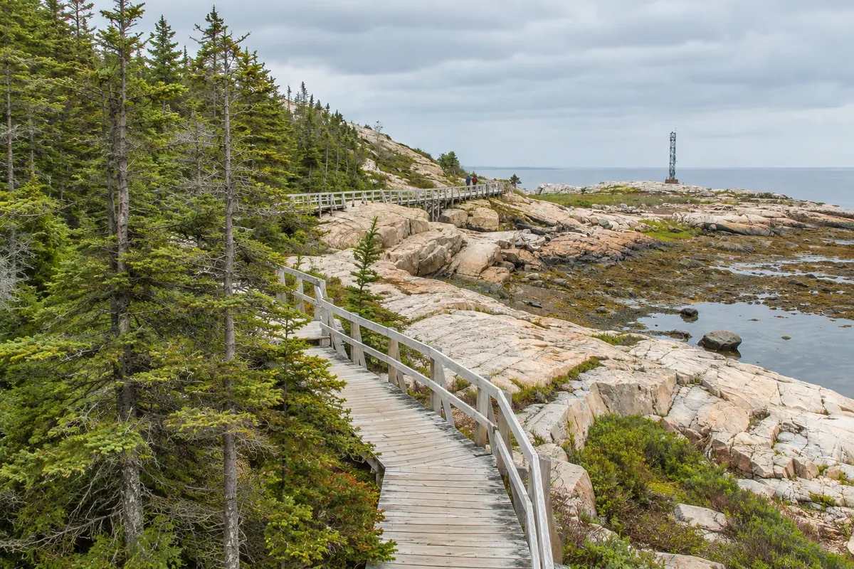
Trail · Tadoussac, Quebec
Pointe-de-l'Islet Trail
Short trail over the rocks of the point that separates Tadoussac Bay from the mouth of the Saguenay, with views of the rivers meeting and a chance to see belugas and seals.
Illustrative images. The pictures in this guide are illustrations based on the real place, not photographs, and may differ from it.



Discover
About Pointe-de-l'Islet Trail
The Pointe de l'Islet trail skirts the rocky point between Tadoussac Bay and the mouth of the Saguenay on a short route of about 1 km, with stairs and wooden walkways over the rock.
From the viewpoints you can see the meeting of the dark Saguenay waters with those of the St. Lawrence, the tidal currents and the traffic of boats and ferries. It is one of the best onshore spots to try to see belugas, which appear as white patches on the surface, as well as seals and, sometimes, minke whales near the shore.
The trail is part of the Saguenay Fjord National Park. Bring binoculars and be patient: sightings depend on the tide and the animals.
Before you go
Practical information
Cidade Turismo reviews its information regularly, but something may have changed. Check with the place before planning your trip.
How much time to set aside
Half an hour to an hour.
Best time
From June to October, at high tide, when animals usually come closer to the mouth.
How to get there
It starts at the parking area near Tadoussac quay, a few minutes’ walk from the centre.
Tip
Bring binoculars and sit on the rocks for a few minutes: belugas appear and disappear quickly.
Official website
Get your questions answered
Frequently asked questions about Pointe-de-l'Islet Trail
Is the Pointe de l'Islet trail long?
No, it's about 1 km, with stairs and boardwalks.
Can you see belugas from Pointe de l'Islet?
Sometimes. It's one of the best onshore spots to try, especially at high tide.
Where does the Pointe de l'Islet trail start?
Near the Tadoussac dock, a few minutes' walk from the village centre.