Tadoussac and the Saguenay Fjord

Quebec · Canada

Tadoussac and the Saguenay Fjord

Where the Saguenay fjord meets the Saint Lawrence: whales and belugas in the estuary, the village of Tadoussac, and the fjord’s cliffs up to the city of Saguenay.

Quebec

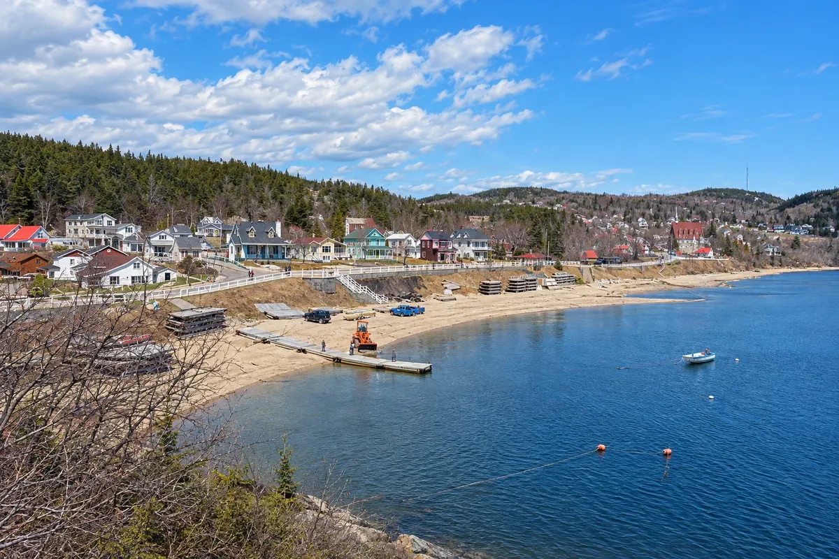
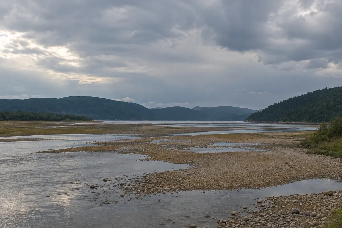
In the photo: Tadoussac bay and village

Illustrative images. The pictures in this guide are illustrations based on the real place, not photographs, and may differ from it.

Get it on Google Play Send your photos

Get to know the place

A region to enjoy
at your own pace.

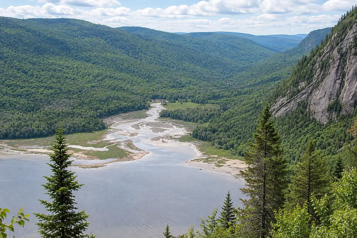
The Saguenay River runs through a fjord of about 100 km, carved by glaciers, between rock cliffs reaching 350 meters, before emptying into the Saint Lawrence near the village of Tadoussac. At the meeting of the two waters, the cold, salty water from the depths rises and brings abundant food, which attracts whales to the estuary every summer.

Tadoussac is one of Canada’s most sought-after places for whale watching. In season, common porpoises, minke whales, humpbacks and sometimes blue whales usually feed near the coast, and a population of belugas lives in the estuary year-round. The area is part of the Saguenay–Saint-Lawrence Marine Park, with rules for how boats may approach the animals.

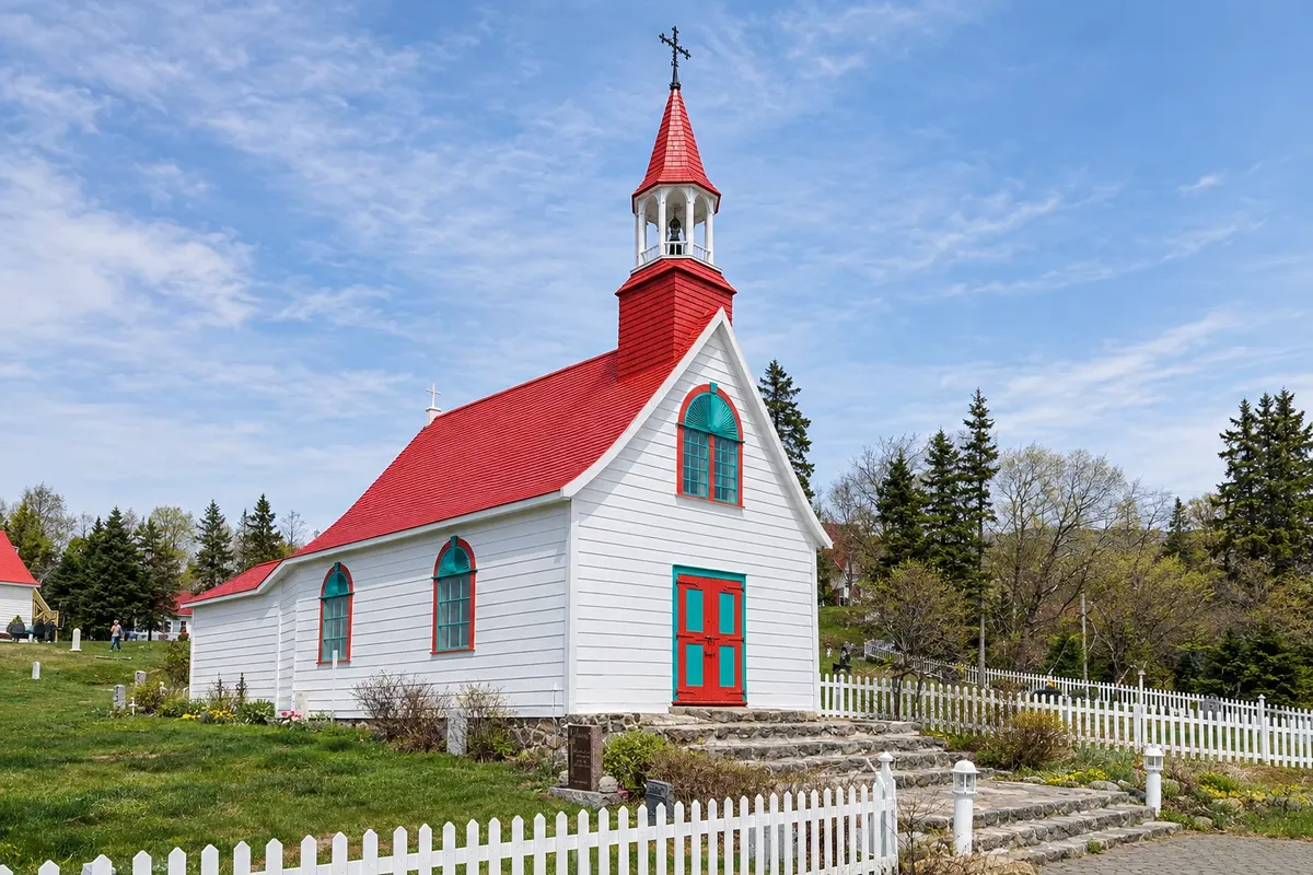
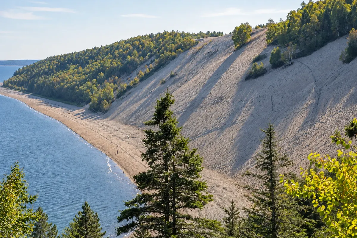
The village, one of the oldest in Canada, was a fur trading post since 1600 and has an 18th-century wooden chapel, sand dunes overlooking the river and trails around the bay. Up the river, Saguenay Fjord National Park protects both shores, with viewpoints, trails and the statue of Notre-Dame-du-Saguenay on Cap Trinité.

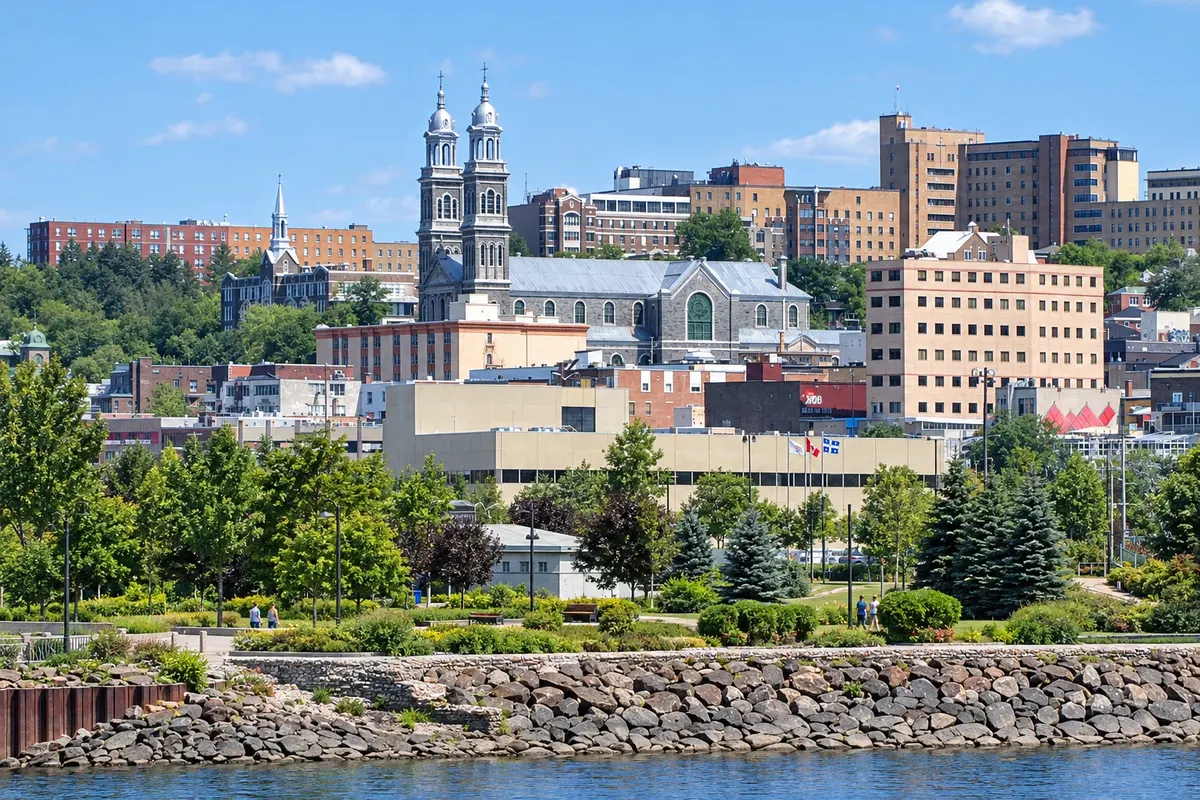
At the end of the fjord lies the city of Saguenay, which brings together Chicoutimi, Jonquière and La Baie, with museums about the timber industry and the 1996 floods.

This destination brings together 2 cities: Tadoussac, Saguenay.

Share: WhatsApp
Traveler, share your experiences through photos Up to 5 photos of each place you visited.

One destination, many paths

The cities on this trip

Start with one city or combine several in your itinerary.

Where Tadoussac and the Saguenay Fjord is
TadoussacSaguenay

Boundaries: Statistics Canada (Statistics Canada Open Licence) / geoBoundaries. Adapted by Cidade Turismo.

How to get there: Tadoussac and the Saguenay Fjord

✈ Aéroport international Jean-Lesage de Québec (YQB), in Québec · 225 km to Tadoussac

Tadoussac is about 210 km from the city of Quebec via Route 138, with a ferry crossing between Baie‑Sainte‑Catherine and Tadoussac of about 10 minutes. Saguenay has an airport (YBG) and is about 210 km from Quebec via Route 175.

Suggested arrival point: Tadoussac

The local experience

Things to do in Tadoussac and the Saguenay Fjord

Marine Mammal Interpretation Centre
Tadoussac · Quebec · Museum

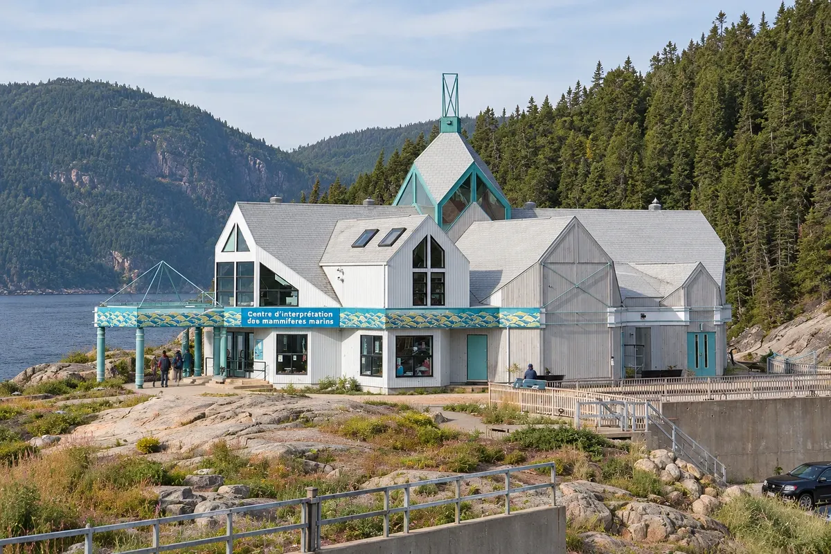
Marine Mammal Interpretation Centre

Research group GREMM centre in Tadoussac about St. Lawrence whales, with whale skeletons found on the coast, videos and naturalists.

La Pulperie de Chicoutimi
Saguenay · Quebec · Museum

La Pulperie de Chicoutimi

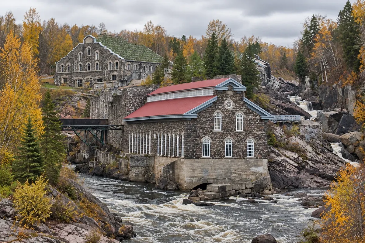
Regional museum set in the ruins and buildings of an 1896 pulp mill on the banks of the Chicoutimi River, about the history and culture of Saguenay–Lac‑Saint‑Jean.

Petite maison blanche
Saguenay · Quebec · Monument

Petite maison blanche

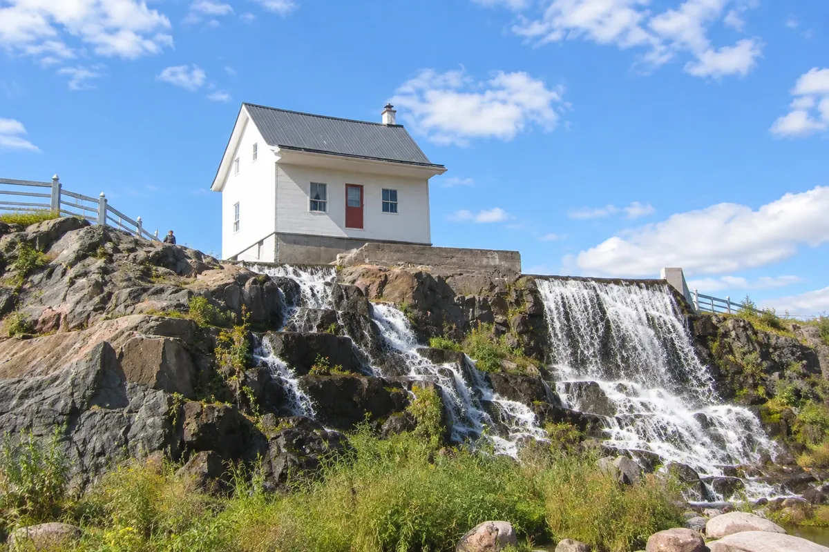
A small white wooden house in downtown Chicoutimi that remained standing on a rock while the 1996 flood flowed around it; today it is a small museum.

Pointe-de-l'Islet Trail
Tadoussac · Quebec · Trail

Pointe-de-l'Islet Trail

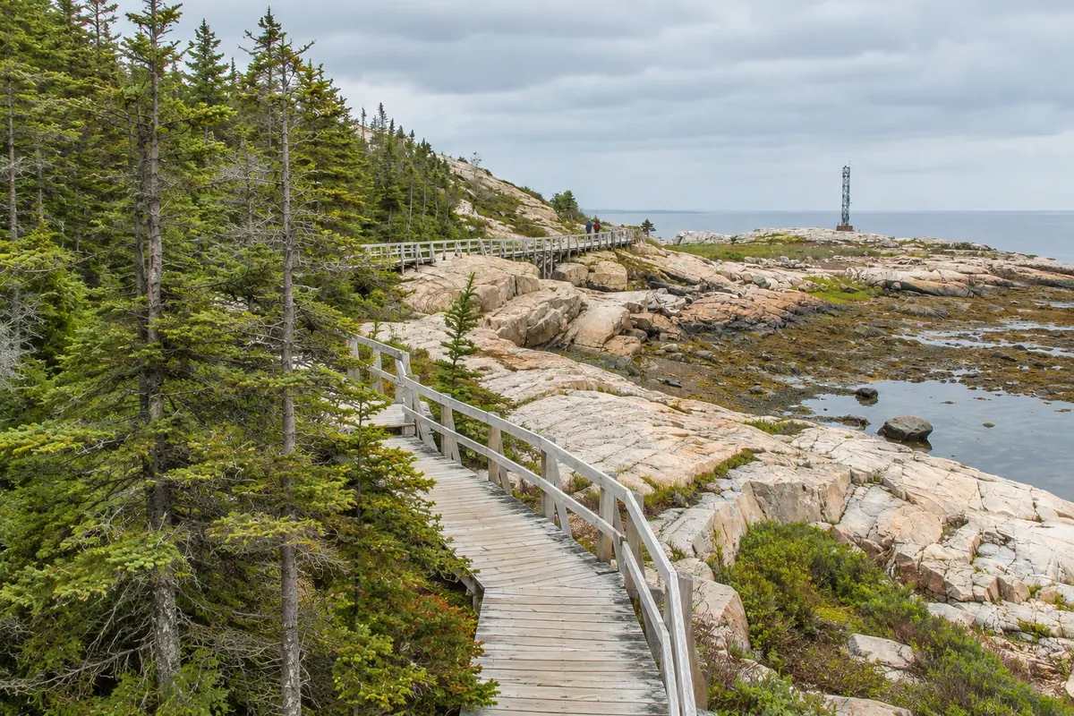
Short trail over the rocks of the point that separates Tadoussac Bay from the mouth of the Saguenay, with views of the rivers meeting and a chance to see belugas and seals.

See 3 more places in Tadoussac and the Saguenay Fjord
Baie-Éternité and Cap Trinité
Saguenay · Quebec · National park

Baie-Éternité and Cap Trinité

Sector of the Saguenay Fjord National Park, about 60 km from Chicoutimi, with the cliffs of Cape Trinité and the trail to the statue of Notre-Dame-du-Saguenay, from 1881.

Dunes of Tadoussac
Tadoussac · Quebec · Natural landscape

Dunes of Tadoussac

Sand terraces formed at the end of the last glaciation, about 5 km from Tadoussac centre, on a high slope above the St. Lawrence, with the Maison des Dunes.

Baie-Sainte-Marguerite
Tadoussac · Quebec · Viewpoint

Baie-Sainte-Marguerite

Sector of the Saguenay Fjord National Park about 25 km from Tadoussac, with a trail to a lookout over the bay frequented by belugas in summer.

Before you go

Practical information

A little planning leaves more time to enjoy the journey.

When to go

June to October for whales and boat trips; the greatest variety of species usually appears from August to September. Belugas live in the estuary year-round. In winter, the fjord partially freezes and there is ice fishing in La Baie.

The seasons shown are the most usual ones; nature doesn't always follow the calendar.

How many days to stay

Three days: two in Tadoussac, with a boat trip and the trails, and one for the fjord and Saguenay.

Which city to stay in

Tadoussac has inns, hotels and campgrounds near the bay and the boat dock. In Saguenay, Chicoutimi concentrates lodging and restaurants; La Baie sits on the fjord. Sacré‑Coeur and L'Anse‑Saint‑Jean, on the fjord, have cottages and guesthouses.

Respect the place

Take your trash with you, follow the signs and support local businesses. In natural areas, follow the visiting guidelines.

Get your questions answered

Frequently asked questions about Tadoussac and the Saguenay Fjord

When to see whales in Tadoussac?

The season generally runs from June to October, with the greatest variety of species usually appearing in August and September.

Can you see whales from shore in Tadoussac?

Sometimes, from the Pointe de l'Islet trail and the coastal viewpoints. Boats and kayaks increase your chances.

Do you have to pay for the Tadoussac ferry?

There is no fare for the ferry between Baie‑Sainte‑Catherine and Tadoussac; it operates year-round, day and night.

How many days to stay in Tadoussac and Saguenay?

Three days: two in Tadoussac and one for the fjord and the city of Saguenay.

What time zone is Tadoussac in?

The same as Montreal and Quebec City: UTC−5, and UTC−4 from March to November.

Explore other destinations Search by state and city