Nahanni (Fort Simpson) — Canada

Northwest Territories · Canada

Nahanni (Fort Simpson) — Canada

South Nahanni River, its deep canyons and Virginia Falls, about twice the height of Niagara, in one of the first UNESCO World Heritage sites.

Northern Canada

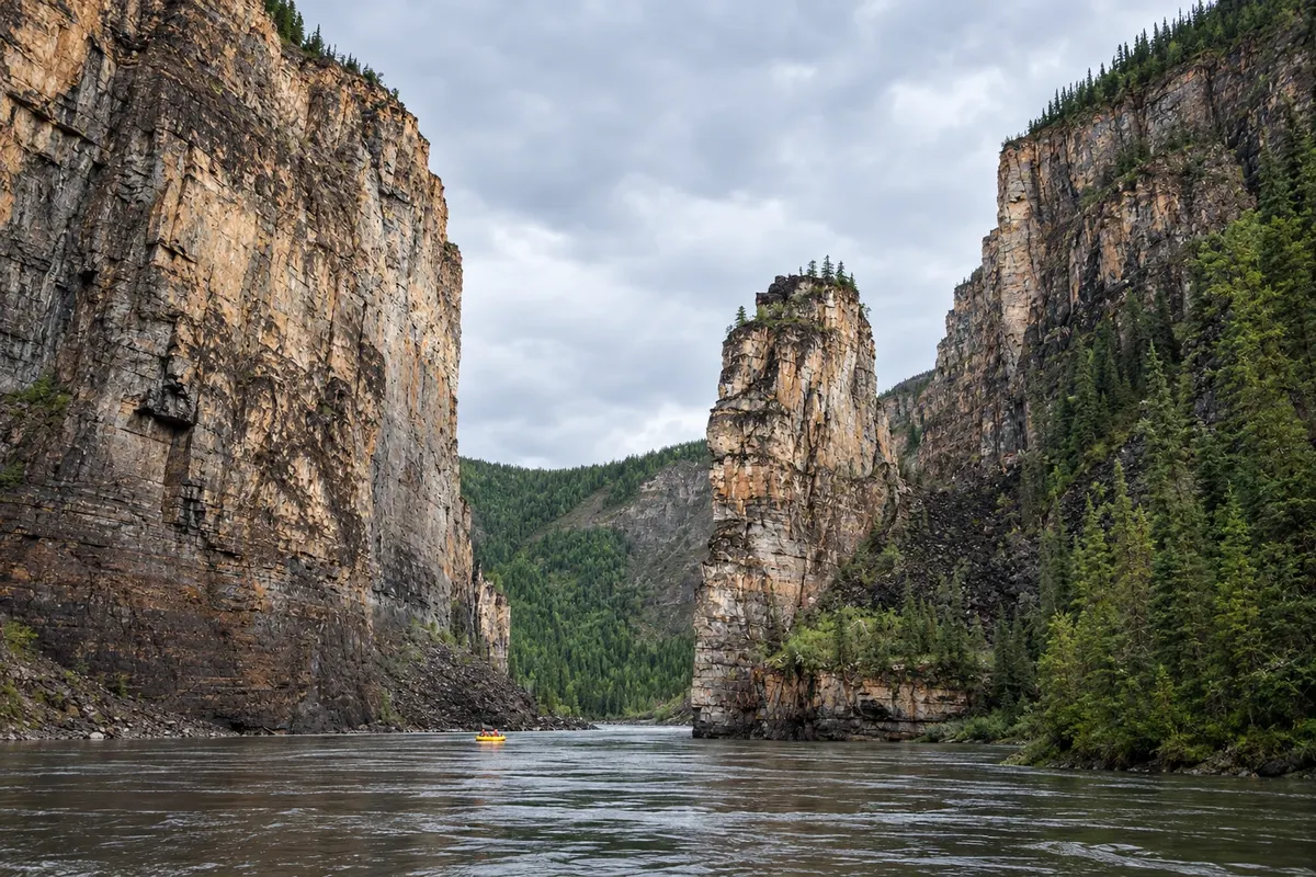
In the photo: South Nahanni River canyon.

Illustrative images. The pictures in this guide are illustrations based on the real place, not photographs, and may differ from it.

Get to know the place

A region to enjoy
at your own pace.

Nahanni National Park Reserve lies in the southwest of the Northwest Territories, in the Mackenzie Mountains. It protects the South Nahanni River, which cuts through four deep canyons, hot springs, limestone caves and Virginia Falls, about 96 m high—almost twice the height of Niagara Falls.

The park was one of the first sites inscribed on the UNESCO World Heritage list, in 1978. It is Dene territory, co-managed by the Dene people and the Government of Canada. There are no roads: access is by floatplane or boat. Descending the river by canoe or raft, taking one to three weeks, is one of the world’s best-known river journeys.

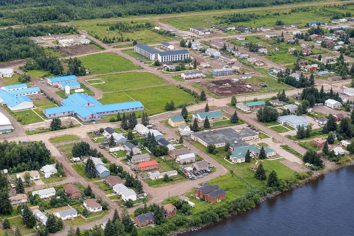
Fort Simpson, on an island at the confluence of the Liard and Mackenzie Rivers, is the base for flights to the park. One of the oldest communities in the Northwest Territories, it houses the park office, an early 19th-century trading post and the site of Pope John Paul II’s 1987 visit.

For most visitors, the simplest way to see Nahanni is a one-day flight to Virginia Falls.

This destination brings together 1 city: Fort Simpson.

Share: WhatsApp
Traveler, share your experiences through photos Up to 5 photos of each place you visited.

One destination, many paths

The cities on this trip

Start with one city or combine several in your itinerary.

Where Nahanni (Fort Simpson) — Canada is
Fort Simpson

Boundaries: Statistics Canada (Statistics Canada Open Licence) / geoBoundaries. Adapted by Cidade Turismo.

How to get there: Nahanni (Fort Simpson) — Canada

✈ Fort Simpson Airport (YFS) · 12 km to Fort Simpson

Fort Simpson Airport (YFS) receives flights from Yellowknife. By road, Fort Simpson is about 600 km from Yellowknife via the Mackenzie Highway, with ferries or ice bridges across the rivers. The park is only reached by floatplane or boat.

The local experience

Things to do in Nahanni (Fort Simpson) — Canada

Papal Site Fort Simpson
Fort Simpson · Northwest Territories · Monument

Papal Site Fort Simpson

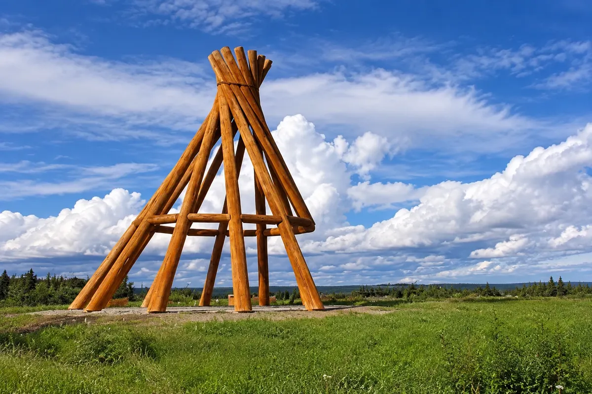
Riverside field in Fort Simpson where Pope John Paul II met northern Indigenous peoples in 1987, marked by a large tent frame.

Before you go

Practical information

A little planning leaves more time to enjoy the journey.

When to go

From mid-June to early September, when floatplanes operate and the river is free of ice. July and August have the most stable weather.

The seasons shown are the most usual ones; nature doesn't always follow the calendar.

How many days to stay

Two or three days for Fort Simpson and a flight to Virginia Falls; one to three weeks to descend the river.

Which city to stay in

Fort Simpson has small hotels and guesthouses. In the park there is only camping, by reservation, near Virginia Falls and along the river.

Respect the place

Take your trash with you, follow the signs and support local businesses. In natural areas, follow the visiting guidelines.

Get your questions answered

Frequently asked questions about Nahanni (Fort Simpson) — Canada

How do I get to Virginia Falls?

By floatplane, on one-day flights from Fort Simpson, from mid-June to early September.

How tall are Virginia Falls?

About 96 m, almost twice the height of Niagara Falls.

Are there roads in Nahanni Park?

No; access is only by plane or boat.

Do I need reservations to visit Nahanni?

Yes—for the flight and for camping; those who descend the river must also register with the park.

What time zone is Fort Simpson in?

Fixed year-round: UTC−6, the same as Alberta.

Explore other destinations Search by state and city