

 Brazil
 Argentina
 Bolivia
 Chile
 Colombia
 Ecuador
 Guyana
 French Guiana
 Falkland Islands (Malvinas)
 Paraguay
 Peru
 Suriname
 Uruguay
 Venezuela
 Germany
 Austria
 Belgium
 Croatia
 Denmark
 Slovakia
 Slovenia
 Spain
 Finland
 France
 Greece
 the Netherlands
 Hungary
 Ireland
 Iceland
 Italy
 Luxembourg
 Norway
 Poland
 Portugal
 the United Kingdom
 the Czech Republic
 Sweden
 Switzerland
 Turkey
 Bermuda
 the United States
 Mexico
 the Dominican Republic
 South Africa
 Egypt
 Australia
 Fiji
 New Zealand
 Papua New Guinea
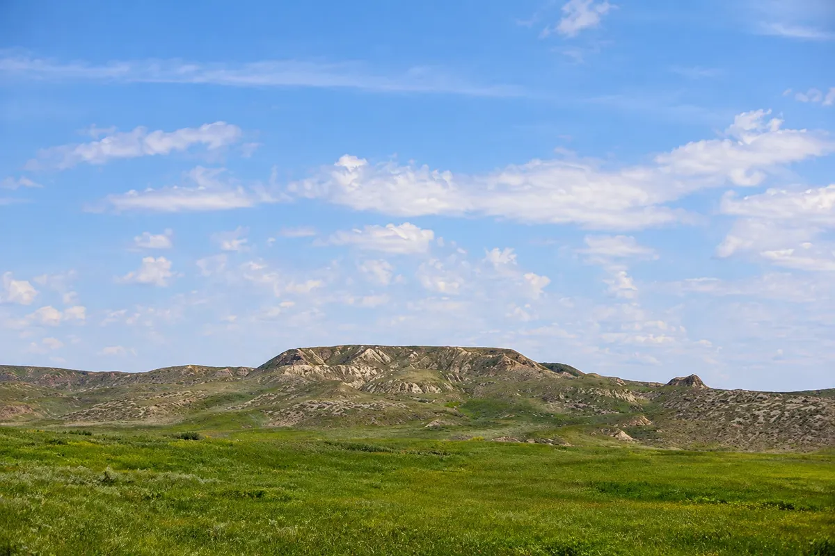
Viewpoint · Val Marie, Saskatchewan
70 Mile Butte
A solitary hill above the Frenchman River valley in the West Block of the park, with a trail to the top and wide prairie views.
Illustrative images. The pictures in this guide are illustrations based on the real place, not photographs, and may differ from it.



Discover
About 70 Mile Butte
70 Mile Butte is one of the highest hills in the West Block of Grasslands National Park, south of Val Marie. The name comes from an old wagon route: the point was about 70 miles from a regional trading post.
A trail climbs the grass-covered slope to the top, a short but steady ascent. From the summit you can see the Frenchman River valley, the ravines, other buttes and the prairie stretching to the Montana border, with no fences or buildings in sight. The trail can be extended to the neighbouring Eagle Butte.
In spring, the slope is covered with wildflowers, and it’s common to see pronghorn, deer and birds of prey such as the prairie falcon.
Before you go
Practical information
Cidade Turismo reviews its information regularly, but something may have changed. Check with the place before planning your trip.
How much time to set aside
One to two hours.
Best time
From May to June, when the prairie is green and in bloom, or late in the afternoon for low light.
How to get there
Along Highway 4 south of Val Marie and a dirt road to the trail parking area, about 15 km from the village.
Tip
Bring water and sunscreen: there is no shade on the trail or at the top.
Official website
Get your questions answered
Frequently asked questions about 70 Mile Butte
Is the 70 Mile Butte trail difficult?
It’s short, with a steady climb to the top.
Where does the name 70 Mile Butte come from?
From an old wagon route; the point was about 70 miles from a trading post.
What can you see from the top of 70 Mile Butte?
The Frenchman River valley and the prairie stretching to the Montana border.