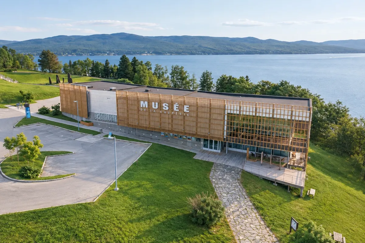
Gaspésie is the large peninsula in eastern Quebec between the Saint Lawrence estuary and Chaleur Bay. A single road, Route 132, circles the peninsula, with more than 800 km of coastline, cliffs, fishing villages and the Chic-Chocs mountains inland, the final section of the Appalachian range.
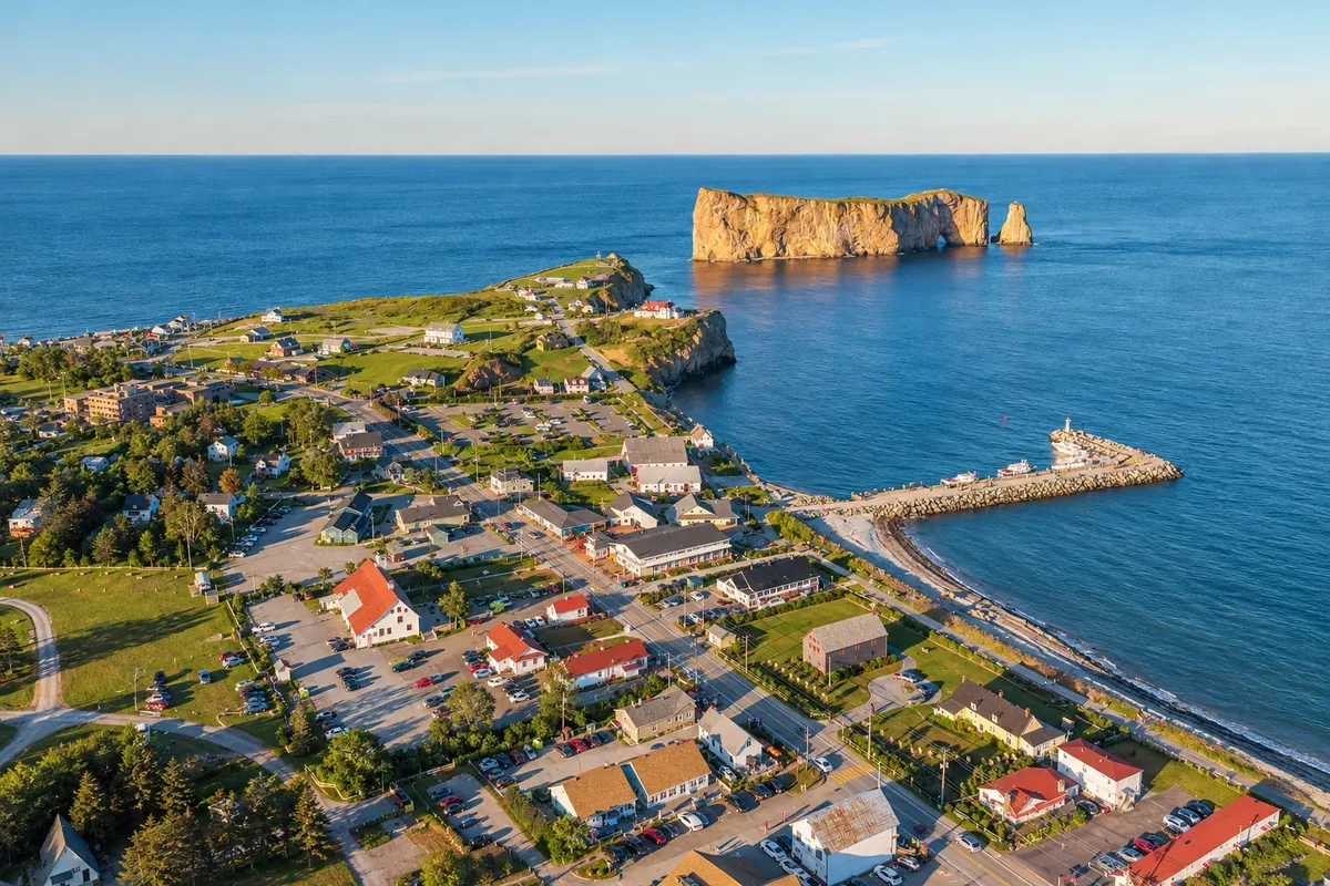
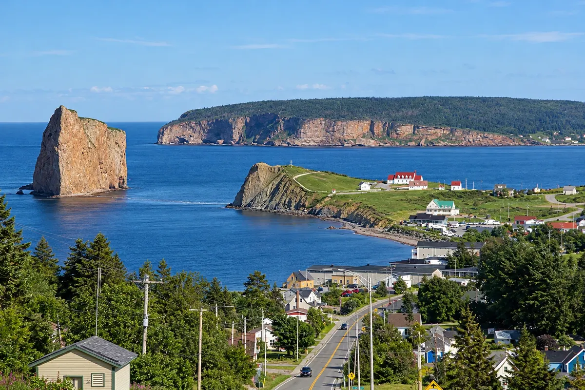
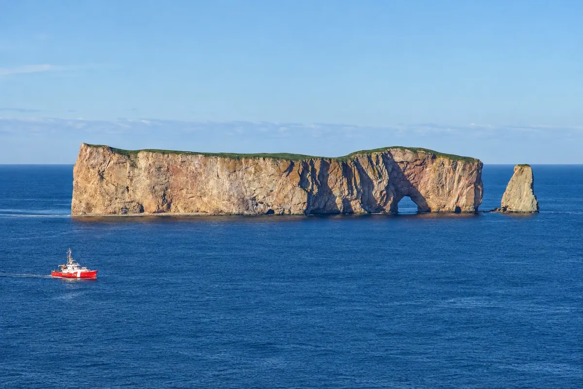
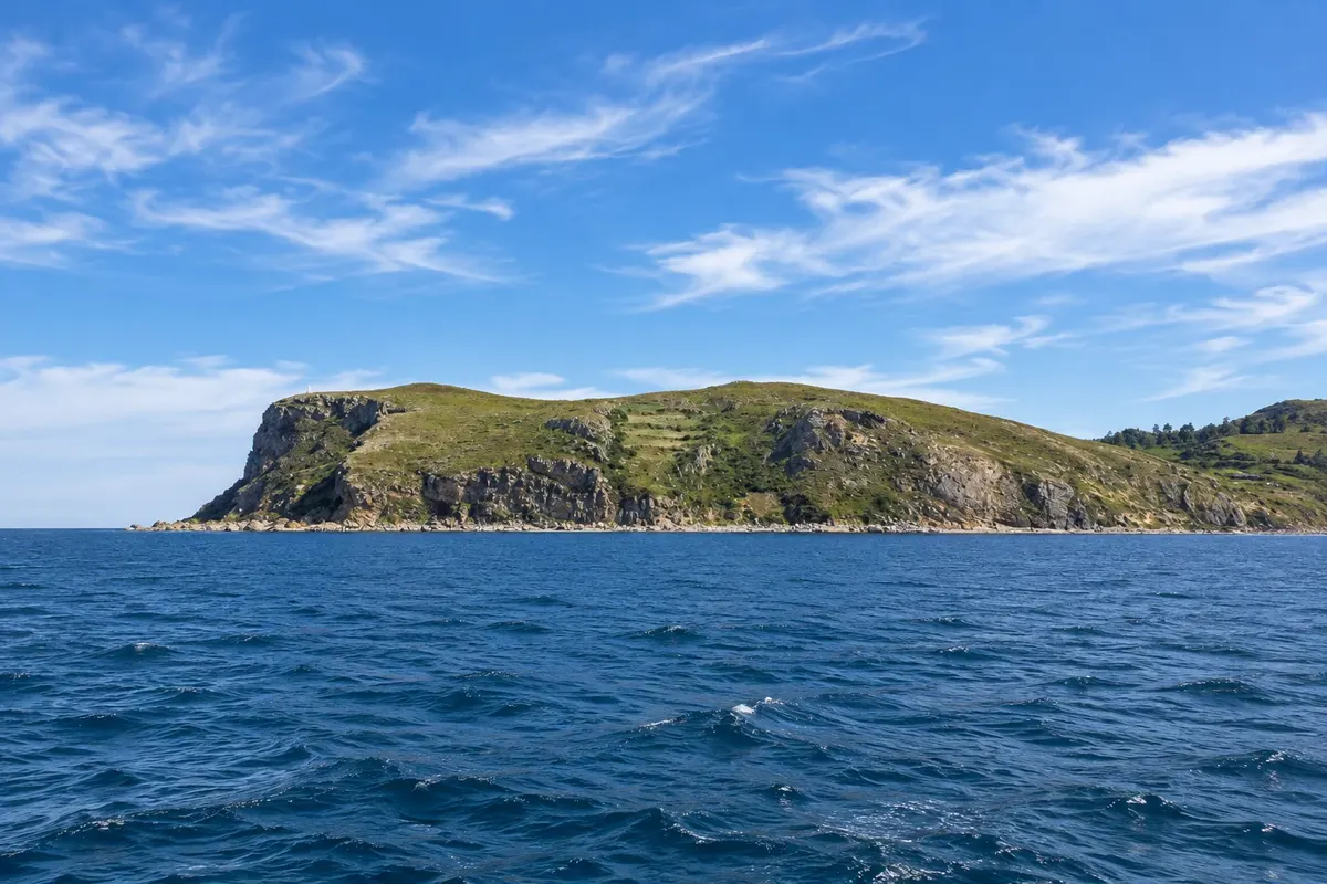
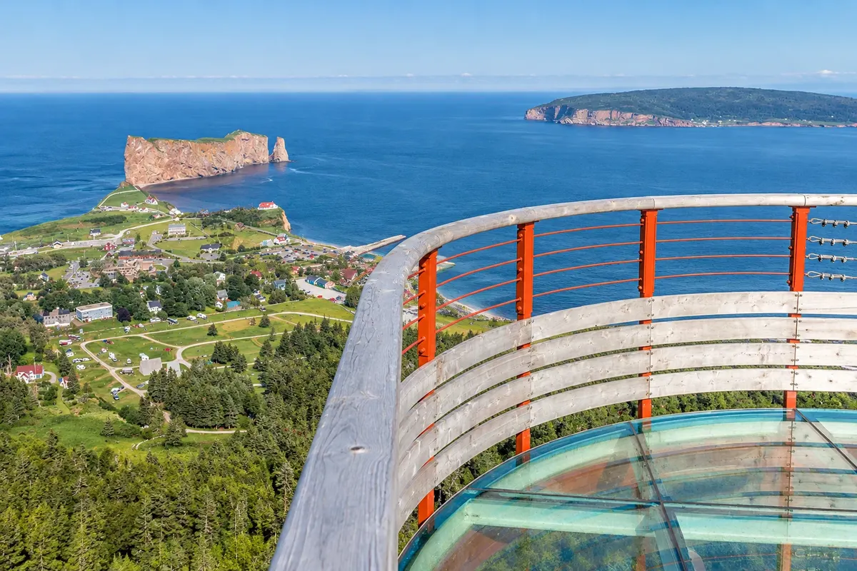
At the tip of the peninsula is Percé, known for Percé Rock, a limestone stack about 88 meters high with an arch carved by the sea, a few meters off the shore. Offshore, Bonaventure Island hosts one of the largest colonies of northern gannets in the world, with over 100,000 birds that nest on the cliff tops in summer.
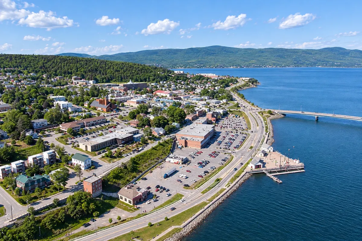
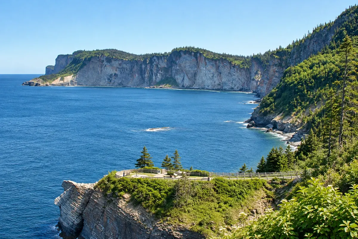
The town of Gaspé, to the north, sits in a deep bay where Jacques Cartier landed in 1534 and erected a cross in the name of the King of France. Nearby, Forillon National Park occupies the peninsula’s tip, with cliffs, pebble beaches, trails, seals and whales in season.
The region has a strong fishing tradition and a mix of francophone, anglophone and Mi'gmaq communities.
This destination brings together 2 cities: Percé, Gaspé.


 Brazil
 Argentina
 Bolivia
 Chile
 Colombia
 Ecuador
 Guyana
 French Guiana
 Falkland Islands (Malvinas)
 Paraguay
 Peru
 Suriname
 Uruguay
 Venezuela
 Germany
 Austria
 Belgium
 Croatia
 Denmark
 Slovakia
 Slovenia
 Spain
 Finland
 France
 Greece
 the Netherlands
 Hungary
 Ireland
 Iceland
 Italy
 Luxembourg
 Norway
 Poland
 Portugal
 the United Kingdom
 the Czech Republic
 Sweden
 Switzerland
 Turkey
 the United States
 Mexico
 the Dominican Republic
 South Africa
 Australia
 Fiji
 New Zealand
 Papua New Guinea