

 Brazil
 Argentina
 Bolivia
 Chile
 Colombia
 Ecuador
 Guyana
 French Guiana
 Falkland Islands (Malvinas)
 Paraguay
 Peru
 Suriname
 Uruguay
 Venezuela
 Germany
 Austria
 Belgium
 Croatia
 Denmark
 Slovakia
 Slovenia
 Spain
 Finland
 France
 Greece
 the Netherlands
 Hungary
 Ireland
 Iceland
 Italy
 Luxembourg
 Norway
 Poland
 Portugal
 the United Kingdom
 the Czech Republic
 Sweden
 Switzerland
 Turkey
 the United States
 Mexico
 the Dominican Republic
 South Africa
 Australia
 Fiji
 New Zealand
 Papua New Guinea
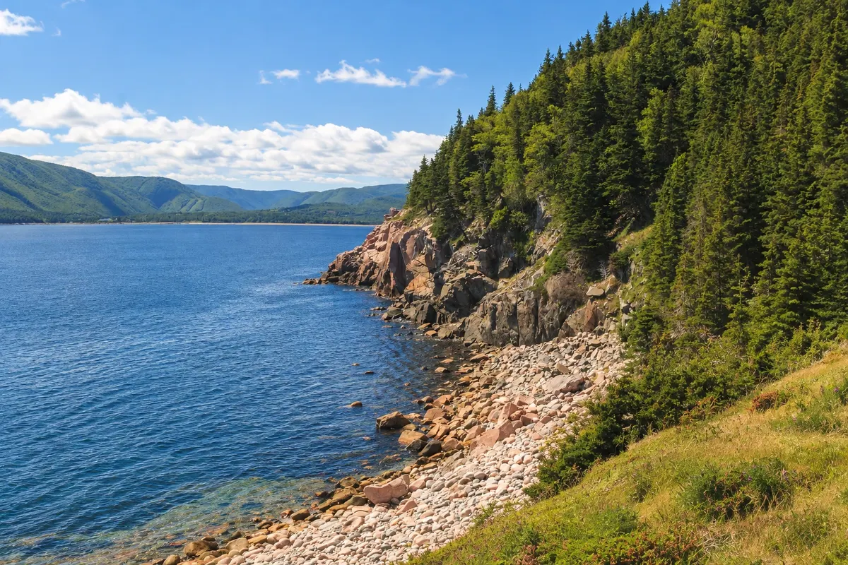
Trail · Ingonish, Nova Scotia
Middle Head Trail
A trail of about 4 km round trip on the Middle Head peninsula, between Ingonish’s north and south bays, with cliffs, forest and views of Smokey Mountain.
Illustrative images. The pictures in this guide are illustrations based on the real place, not photographs, and may differ from it.


Discover
About Middle Head Trail
Middle Head is the narrow peninsula that separates Ingonish’s two bays. The trail to the tip is about 4 km round trip and starts at the end of the road that passes the Highlands Links golf course, inside the national park.
The path goes through forest and open fields to the rocky tip, with ocean on both sides. From the end you can see the south bay, Ingonish Beach and, to the south, the profile of Smokey Mountain. Seabirds are often seen on the rocks and over the sea, and in summer whales may appear far off.
The terrain is easy, with some sections of roots and rocks. There are no barriers on the cliff edges: stay on the marked path. Park entry is paid; check the current fee schedule.
Before you go
Practical information
Cidade Turismo reviews its information regularly, but something may have changed. Check with the place before planning your trip.
How much time to set aside
One and a half to two hours.
Best time
June to early October, early in the morning or late in the afternoon.
How to get there
Take the road that leaves the Cabot Trail at Ingonish Beach toward the golf course, to the parking lot at the end.
Tip
Combine the hike with a swim in the ocean or lake at Ingonish Beach, a few minutes away.
Official website
Get your questions answered
Frequently asked questions about Middle Head Trail
How long is the Middle Head trail?
About 4 km round trip.
Is the Middle Head trail easy?
Yes, with some sections of roots and rocks.
Is the Middle Head trail inside the national park?
Yes, in the eastern part of Cape Breton Highlands National Park.