Cape Breton and the Cabot Trail (Canada): Baddeck; Chéticamp; Ingonish

Nova Scotia · Canada

Cape Breton and the Cabot Trail (Canada): Baddeck; Chéticamp; Ingonish

The northern island of Nova Scotia and the Cabot Trail scenic highway, which skirts the mountains of the Cape Breton Highlands between the Gulf of Saint Lawrence and the Atlantic.

Atlantic Canada

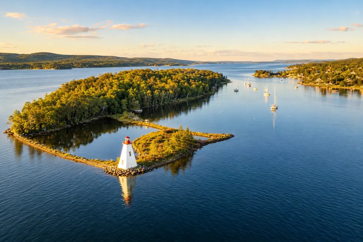
In the photo: Kidston Island and the Bras d'Or lakes, in Baddeck.

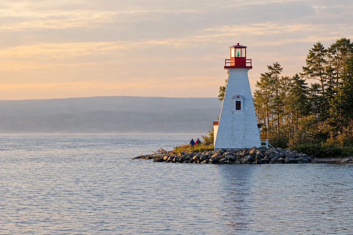
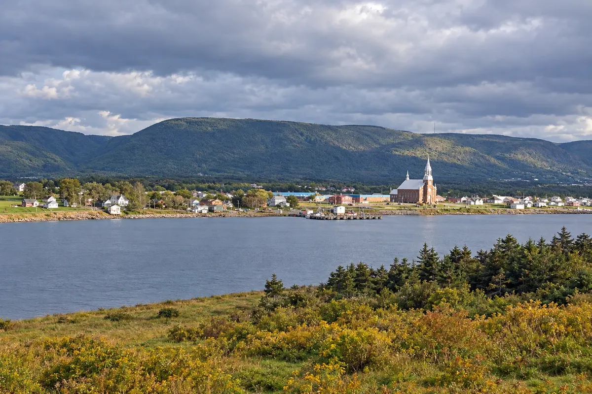
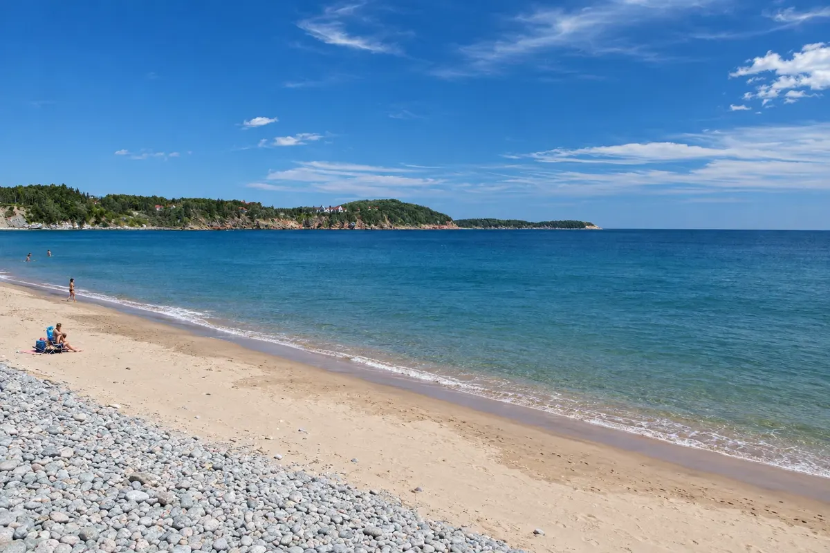
Illustrative images. The pictures in this guide are illustrations based on the real place, not photographs, and may differ from it.

Get it on Google Play Send your photos

Get to know the place

A region to enjoy
at your own pace.

Cape Breton is the large northern island of Nova Scotia, connected to the mainland by a raised causeway over the Canso Strait. In the center of the island lies Bras d'Or Lake, a saltwater inland sea, and to the north the highlands of Cape Breton Highlands National Park, with cliffs overlooking the sea and forested valleys.

The Cabot Trail is a roughly 300 km road that circles this plateau. It begins and ends in Baddeck, on the shore of Bras d'Or, climbs along the west coast to the Acadian village of Chéticamp, crosses the park in winding curves above the Gulf of Saint Lawrence and descends the east coast to Ingonish.

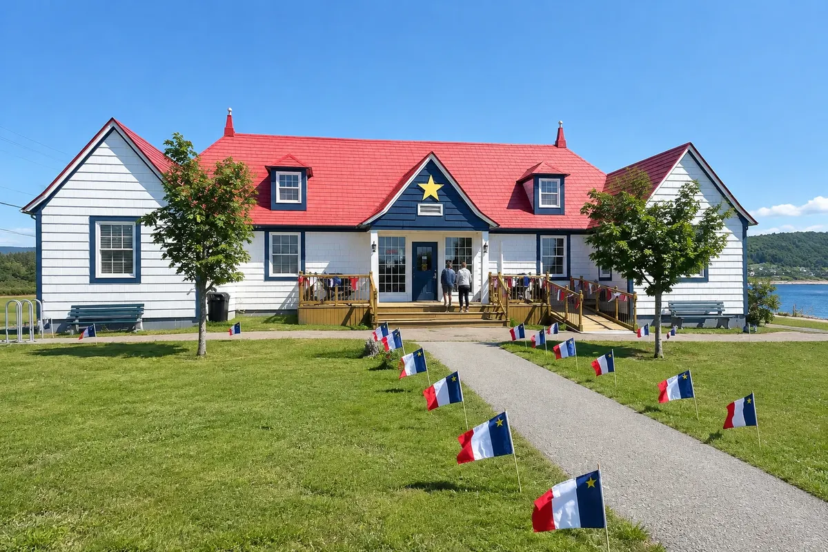
The island has two strong heritages. On the west coast live descendants of Acadians, French-speaking, known for hooked rugs. Much of the rest of the island has a Scottish heritage, with fiddle music, Gaelic and the Celtic Colours festival in October. In the southeast is the Fortress of Louisbourg, an 18th-century French town rebuilt.

Baddeck, Chéticamp and Ingonish are the bases for touring the road in two to four days, with hikes, viewpoints and beaches along the way.

This destination brings together 3 cities: Baddeck, Chéticamp, Ingonish.

Share: WhatsApp
Traveler, share your experiences through photos Up to 5 photos of each place you visited.

One destination, many paths

The cities on this trip

Start with one city or combine several in your itinerary.

Where Cape Breton and the Cabot Trail (Canada): Baddeck; Chéticamp; Ingonish is
IngonishBaddeckChéticamp

Boundaries: Statistics Canada (Statistics Canada Open Licence) / geoBoundaries. Adapted by Cidade Turismo.

How to get there: Cape Breton and the Cabot Trail (Canada): Baddeck; Chéticamp; Ingonish

✈ J.A. Douglas McCurdy Sydney Airport (YQY), in Sydney · 80 km to Baddeck

✈ Halifax Stanfield International Airport (YHZ), in Enfield · 320 km to Baddeck

The closest airport is Sydney (YQY), about 80 km from Baddeck; Halifax (YHZ) is about 320 km away. From Halifax, the drive to Baddeck takes about 4 hours, via the Canso Causeway.

Suggested arrival point: Baddeck

The local experience

Things to do in Cape Breton and the Cabot Trail (Canada): Baddeck; Chéticamp; Ingonish

Alexander Graham Bell National Historic Site
Baddeck · Nova Scotia · Museum

Alexander Graham Bell National Historic Site

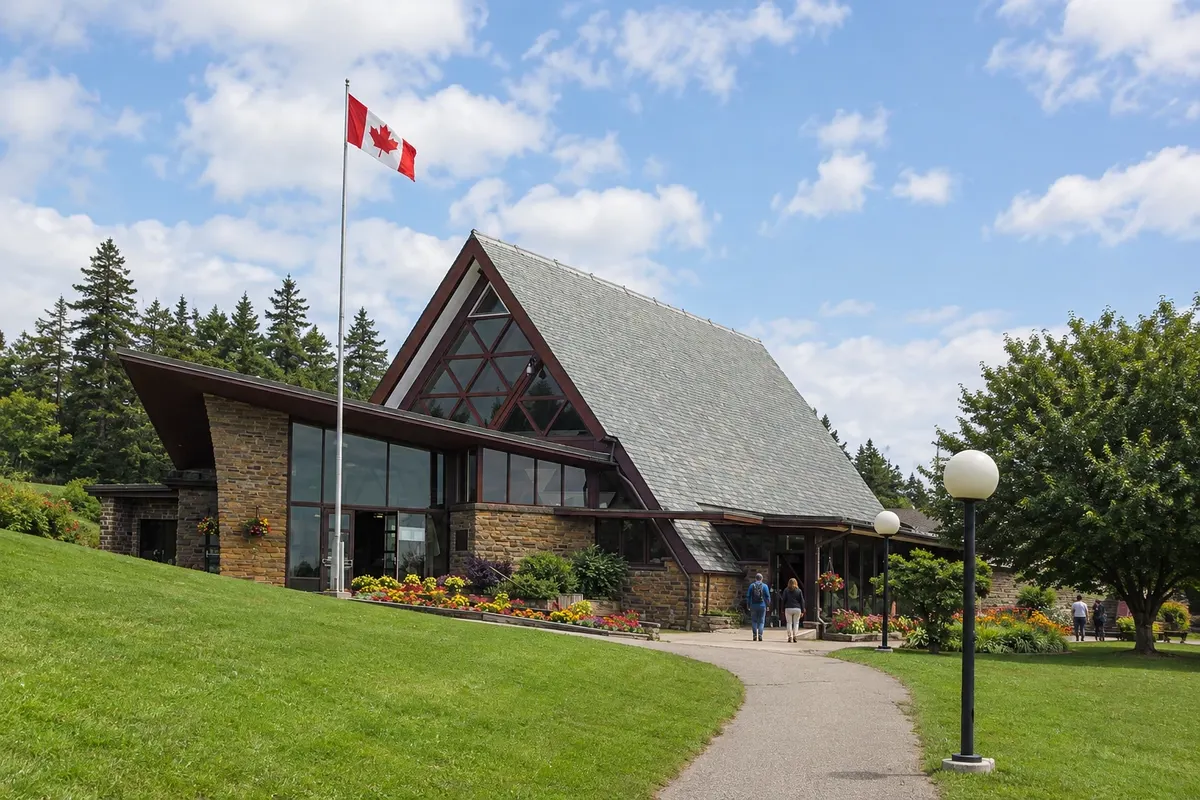
A Parks Canada museum in Baddeck about Alexander Graham Bell’s inventions; he spent summers in the village. Exhibits include replicas of the HD-4 hydrofoil and experimental airplanes and kites.

Middle Head Trail
Ingonish · Nova Scotia · Trail

Middle Head Trail

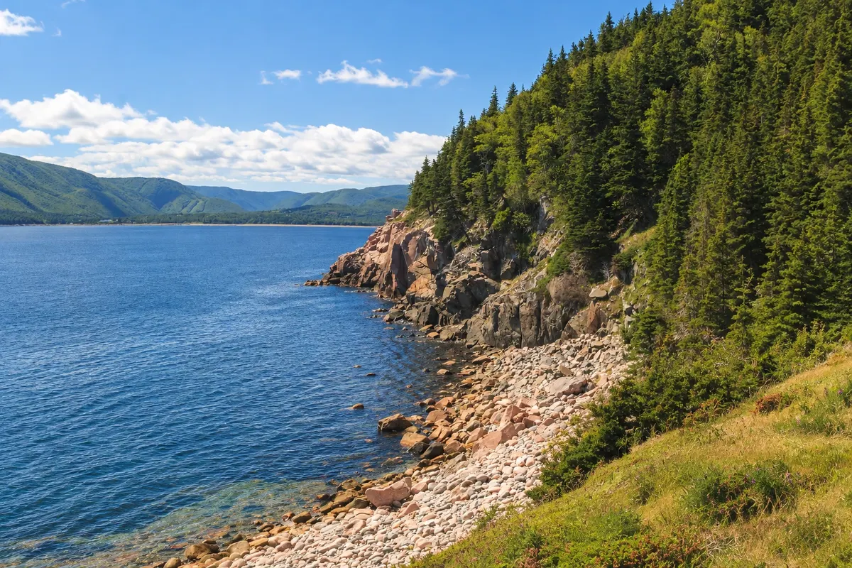
A trail of about 4 km round trip on the Middle Head peninsula, between Ingonish’s north and south bays, with cliffs, forest and views of Smokey Mountain.

Skyline Trail
Chéticamp · Nova Scotia · Trail

Skyline Trail

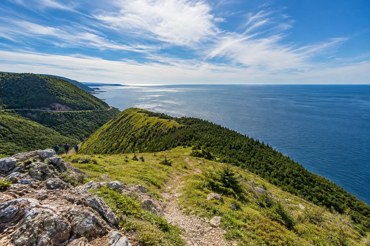
Trail on the plateau of Cape Breton Highlands National Park, near Chéticamp, that ends on a wooden boardwalk above the cliffs and the Gulf of St. Lawrence.

Fortress of Louisbourg
Baddeck · Nova Scotia · Historic site

Fortress of Louisbourg

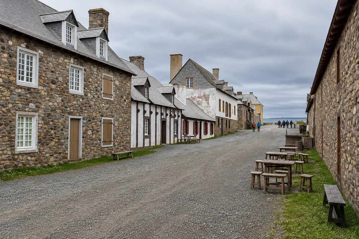
Partial reconstruction of an 18th-century French fortified town in southeastern Cape Breton, with houses, barracks, walls and interpreters dressed as 1744 inhabitants.

See 3 more places in Cape Breton and the Cabot Trail (Canada): Baddeck; Chéticamp; Ingonish
Les Trois Pignons
Chéticamp · Nova Scotia · Cultural center

Les Trois Pignons

Acadian cultural center of Chéticamp, with a hooked-rug museum, the Elizabeth LeFort collection and exhibits on the community’s history.

Ingonish Beach
Ingonish · Nova Scotia · Beach

Ingonish Beach

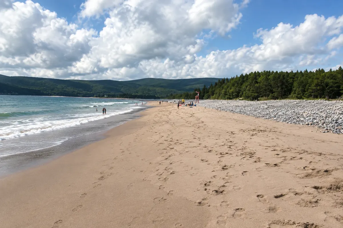
A sand-and-pebble beach in Ingonish’s south bay, separated by a sandbar from a freshwater lake, inside Cape Breton Highlands National Park.

St. Peter's Church, Chéticamp
Chéticamp · Nova Scotia · Church

St. Peter's Church, Chéticamp

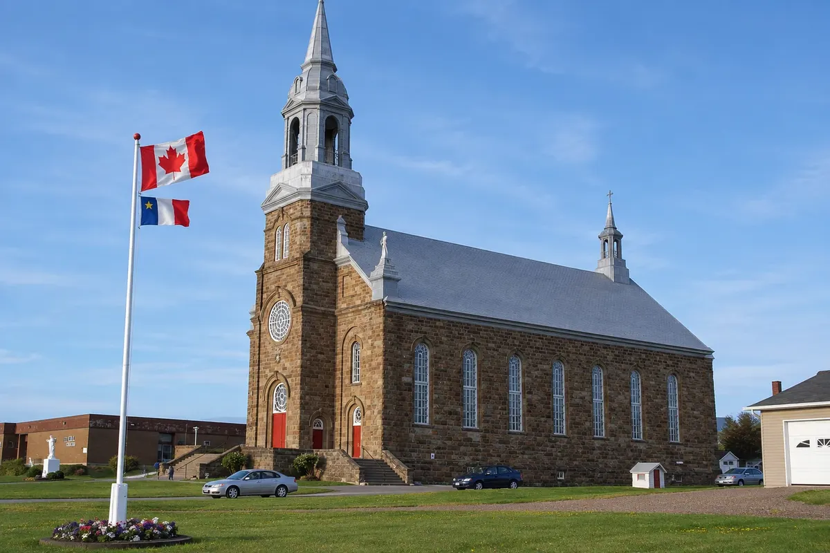
Stone Catholic church with a silver tower by the harbor of Chéticamp, built in the late 19th century by the Acadian community, with an interior decorated in a baroque style.

Before you go

Practical information

A little planning leaves more time to enjoy the journey.

When to go

From June to early October. autumn colors on the plateau usually peak from late September to mid-October, coinciding with the Celtic Colours festival. From November to April many services close and the road can have snow.

The seasons shown are the most usual ones; nature doesn't always follow the calendar.

How many days to stay

Three or four days to do the Cabot Trail at a relaxed pace, staying in Chéticamp and Ingonish; an extra day for the Fortress of Louisbourg.

Which city to stay in

Baddeck, on the shore of Bras d'Or Lake, is the most complete base and is at the start and end of the road. Chéticamp on the west coast and Ingonish on the east coast sit near the park entrances and avoid long detours. In summer, book ahead.

Respect the place

Take your trash with you, follow the signs and support local businesses. In natural areas, follow the visiting guidelines.

Get your questions answered

Frequently asked questions about Cape Breton and the Cabot Trail (Canada): Baddeck; Chéticamp; Ingonish

How many days to do the Cabot Trail?

The entire road can be done in a long day, but the most common approach is two to four days, with overnight stays in Chéticamp and Ingonish and time for hikes and viewpoints.

Which direction should you drive the Cabot Trail?

Both work. Counterclockwise, leaving Baddeck for Chéticamp, the driver has the sea on their side along the cliffs of the west coast.

Do you need a car in Cape Breton?

Yes. Public transport on the island is very limited; the Cabot Trail is done by car, motorcycle or tour.

When can you see fall colours on the Cabot Trail?

Generally from late September to mid-October, depending on the year and altitude.

What time zone is Cape Breton in?

Atlantic Time: UTC−4, and UTC−3 from March to November (daylight saving time).

Explore other destinations Search by state and city