

 Brazil
 Argentina
 Bolivia
 Chile
 Colombia
 Ecuador
 Guyana
 French Guiana
 Falkland Islands (Malvinas)
 Paraguay
 Peru
 Suriname
 Uruguay
 Venezuela
 Germany
 Austria
 Belgium
 Croatia
 Denmark
 Slovakia
 Slovenia
 Spain
 Finland
 France
 Greece
 the Netherlands
 Hungary
 Ireland
 Iceland
 Italy
 Luxembourg
 Norway
 Poland
 Portugal
 the United Kingdom
 the Czech Republic
 Sweden
 Switzerland
 Turkey
 the United States
 Mexico
 the Dominican Republic
 South Africa
 Australia
 Fiji
 New Zealand
 Papua New Guinea
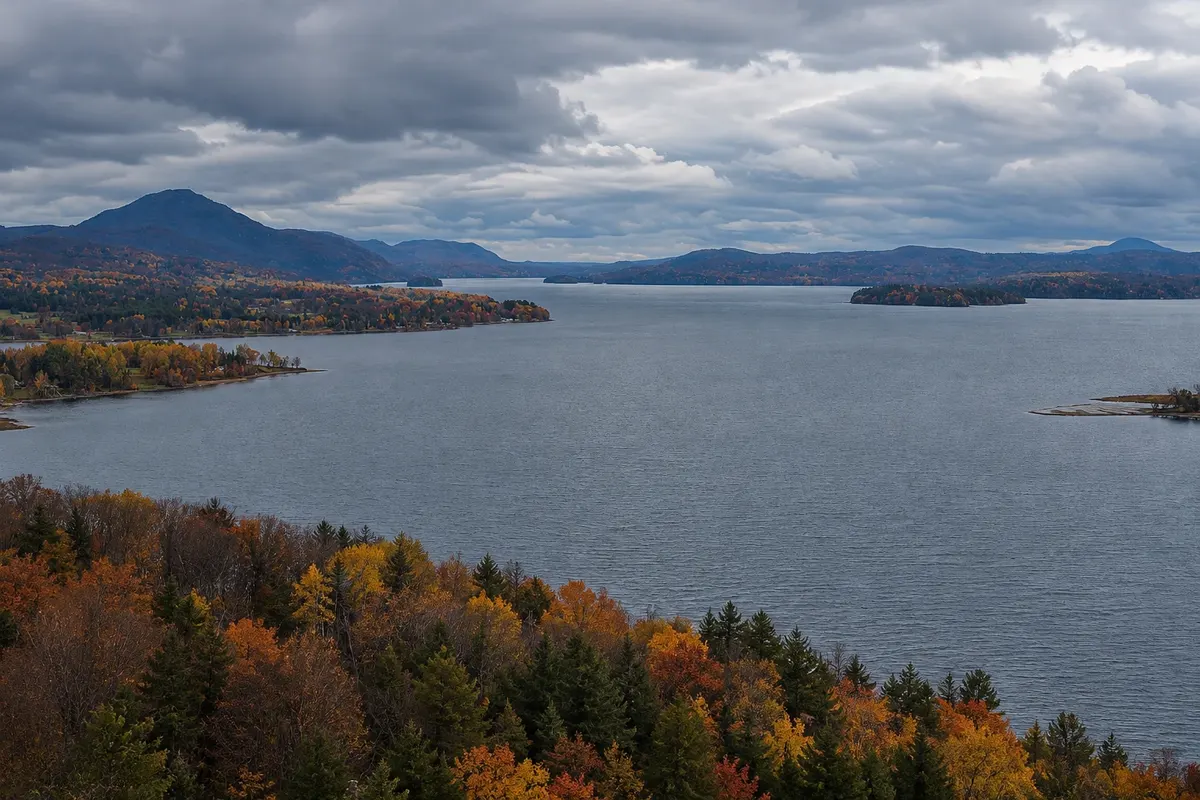
Lake · Magog, Quebec
Lake Memphremagog
A lake more than 40 km long between Quebec and Vermont, with Magog’s waterfront, beaches, a promenade, a bike path and seasonal cruises.
Illustrative images. The pictures in this guide are illustrations based on the real place, not photographs, and may differ from it.


Discover
About Lake Memphremagog
Lake Memphrémagog is more than 40 km long, narrow and ringed by mountains, and it crosses the border between Canada and the United States: about three quarters lie in Quebec and the rest in Vermont. The name comes from an Abenaki language and refers to the great expanse of water.
At the northern tip, Magog has a waterfront with beaches, lawns, a promenade and a bike path that runs along the water and links to the region’s trail network. Sightseeing boats depart from the pier in season. Along the shores stand summer houses, villages like Georgeville and the abbey of Saint-Benoît-du-Lac.
A local legend speaks of a creature in the lake’s depths, the Memphré, which appears on signs and in town shops.
Before you go
Practical information
Cidade Turismo reviews its information regularly, but something may have changed. Check with the place before planning your trip.
How much time to set aside
One to two hours on the waterfront; plus boat time.
Best time
June to September, for swimming, cycling and boat rides. In autumn, for the colors along the shores.
How to get there
The waterfront is in central Magog, a few minutes’ walk from the main street.
Tip
Rent a bike and follow the waterfront bike path, which continues along the lake shore.
Official website
Get your questions answered
Frequently asked questions about Lake Memphremagog
How big is Lake Memphrémagog?
It is more than 40 km long, between Quebec and Vermont.
Are there boat tours on Lake Memphrémagog?
Yes, departing from the Magog pier in season. Check departure times.
Can you swim in Lake Memphrémagog?
Yes, at Magog’s waterfront beaches in summer.