

 Brazil
 Argentina
 Bolivia
 Chile
 Colombia
 Ecuador
 Guyana
 French Guiana
 Falkland Islands (Malvinas)
 Paraguay
 Peru
 Suriname
 Uruguay
 Venezuela
 Germany
 Austria
 Belgium
 Croatia
 Denmark
 Spain
 Finland
 France
 Greece
 the Netherlands
 Hungary
 Ireland
 Iceland
 Italy
 Luxembourg
 Norway
 Poland
 Portugal
 the United Kingdom
 the Czech Republic
 Sweden
 Switzerland
 Turkey
 the United States
 Mexico
 the Dominican Republic
 South Africa
 Australia
 Fiji
 New Zealand
Province · Papua Region
Western
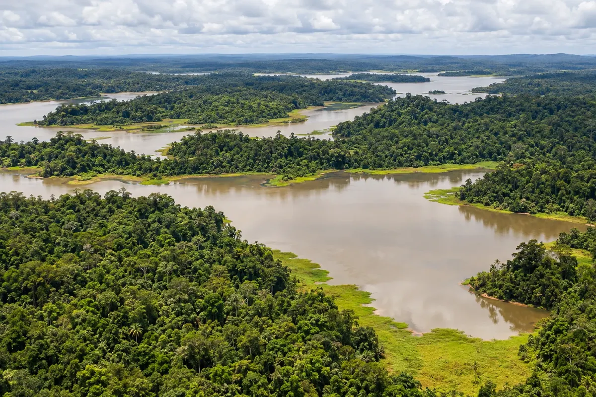
Western Province is the country’s largest: the Fly River, Lake Murray, the southern savannas and wetlands, and Daru Island near the Torres Strait.
In the photo: Lake Murray
Illustrative images. The pictures in this guide are illustrations based on the real place, not photographs, and may differ from it.

The province
Get to know Western
Western Province, also called Fly River, is Papua New Guinea’s largest administrative division by area. It stretches from the border with Indonesia in the west to the Gulf of Papua, and from the northern mountains to the southern plains near the Torres Strait, which separates New Guinea from Australia.
The Fly River runs north to south across the province through forests, swamps and lakes to a wide delta on the Gulf of Papua. Beside its middle course lies Lake Murray, the country’s largest lake, surrounded by flooded forest and fishing villages.
In the southwest, the savanna plains and wetlands of the Tonda Wildlife Management Area, a Ramsar site, attract waterbirds and resemble the landscapes of northern Australia. Wallabies, introduced deer and large flocks of birds are part of this region.
The capital, Daru, is on a small island off the coast facing the Torres Strait islands. To the north, Kiunga is the main town on the upper Fly and the base for river boat trips. The province receives few visitors, and travel depends on small planes, boats and local support.
When to go
The south, around Daru and Tonda, has a more marked dry season generally from May to November, with rain concentrated from December to April. The north, around Kiunga, is rainy year-round. Water levels in the Fly River and the lakes vary with mountain rainfall, which alters boat access.
Getting there
Daru and Kiunga have flights from Port Moresby. There is no road linking the province to the capital: within the province, travel is by small plane and by boat along the Fly River and its tributaries. For Lake Murray and Tonda, arrange transport with operators or local communities.
Your questions
Frequently asked questions about Western
What is the largest lake in Papua New Guinea?
It is Lake Murray, in Western Province, near the middle course of the Fly River. In the rainy season it expands into the surrounding flooded forest. Lake villages depend on fishing and move by canoe.
How do I get to Daru?
By plane, with flights from Port Moresby. Daru is a small island off the southern coast, near the Torres Strait, and is the provincial capital.
Can you travel by boat on the Fly River?
Yes, with support from communities and local operators, usually from Kiunga on the upper Fly. Distances are long and navigation depends on river levels. Plan ahead and arrange boat, guide and accommodation in advance.
What is the Tonda area?
The Tonda Wildlife Management Area, in the province’s southwest near the Indonesian border, comprises savannas and wetlands recognized under the Ramsar Convention. It is a region of waterbirds and wildlife, reachable by small plane with local support.