

 Brazil
 Argentina
 Bolivia
 Chile
 Colombia
 Ecuador
 Guyana
 French Guiana
 Falkland Islands (Malvinas)
 Paraguay
 Peru
 Suriname
 Uruguay
 Venezuela
 Germany
 Austria
 Belgium
 Croatia
 Denmark
 Spain
 Finland
 France
 Greece
 the Netherlands
 Hungary
 Ireland
 Iceland
 Italy
 Luxembourg
 Norway
 Poland
 Portugal
 the United Kingdom
 the Czech Republic
 Sweden
 Switzerland
 Turkey
 the United States
 Mexico
 the Dominican Republic
 South Africa
 Australia
 Fiji
 New Zealand
Province · Highlands Region
Southern Highlands
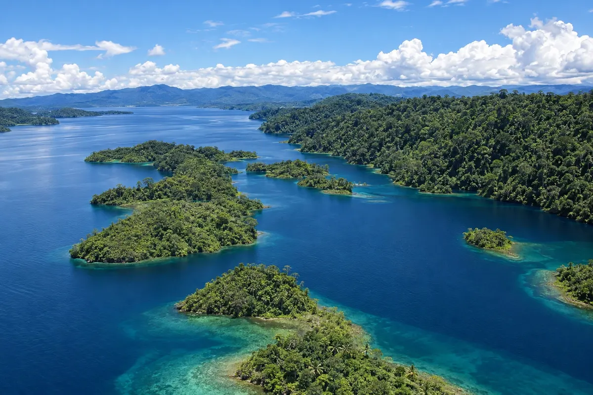
The Southern Highlands have Lake Kutubu, surrounded by forest, Mount Giluwe, the country’s second-highest peak, and the valleys around Mendi.
In the photo: Lake Kutubu
Illustrative images. The pictures in this guide are illustrations based on the real place, not photographs, and may differ from it.

The province
Get to know Southern Highlands
The Southern Highlands province lies in the central-western spine of the New Guinea range, between high valleys, volcanic mountains and forests that descend toward the Gulf plains. The capital, Mendi, sits in a valley at about 1,700 meters elevation.
Mount Giluwe, an ancient volcano in the province’s northeast, is Papua New Guinea’s second-highest point, with alpine grasslands above the forest. Around Ialibu and Pangia, cultivated valleys alternate with forested slopes.
To the south, Lake Kutubu, ringed by tropical forest, is the country’s second-largest lake and a wetland recognised under the Ramsar Convention. Lake villages depend on fishing, garden plots and tigaso oil, extracted from a forest tree and used in trade and body painting.
The Kutubu Kundu and Digaso Festival celebrates kundu drums and tigaso oil with dances and performances by the lake peoples.
The United States government advises against travel to this province, the United Kingdom advises against all but essential travel, and the Australian government recommends reconsidering travel. Before you plan, check your own government’s current travel advice.
When to go
In the high valleys near Mendi, days are mild and nights cool; at Lake Kutubu, lower down, the climate is hot and humid. It rains year-round, with somewhat drier months from June to September.
Getting there
Mendi is on the road link with Mount Hagen and Hela via the Highlands Highway network. Mount Hagen airport, with flights from Port Moresby, is the closest. Lake Kutubu is connected to the rest of the province by small airstrips and by road.
Your questions
Frequently asked questions about Southern Highlands
Where is Lake Kutubu?
In the southern part of Southern Highlands province, surrounded by tropical forest and at a lower elevation than the Mendi valleys. It is the country’s second-largest lake and a wetland recognised under the Ramsar Convention.
What is tigaso oil?
It is an oil extracted from a tree in the forests around Lake Kutubu, used for generations in trade among Highlands peoples and in body painting. Together with kundu drums, it gives its name to the lake’s festival, called Kutubu Kundu and Digaso.
What is the second-highest peak in Papua New Guinea?
It is Mount Giluwe, an ancient volcano in the northeast of the Southern Highlands, with alpine grasslands above the forest. The highest is Mount Wilhelm, in Chimbu.
Does any government advise against travel to the Southern Highlands?
Yes. The United States government advises against travel to the province, the United Kingdom advises against non-essential travel, and the Australian government recommends reconsidering travel. Each country issues its own guidance, which can change: check your country’s current advice.