

 Brazil
 Argentina
 Bolivia
 Chile
 Colombia
 Ecuador
 Guyana
 French Guiana
 Falkland Islands (Malvinas)
 Paraguay
 Peru
 Suriname
 Uruguay
 Venezuela
 Germany
 Austria
 Belgium
 Croatia
 Denmark
 Spain
 Finland
 France
 Greece
 the Netherlands
 Hungary
 Ireland
 Iceland
 Italy
 Luxembourg
 Norway
 Poland
 Portugal
 the United Kingdom
 the Czech Republic
 Sweden
 Switzerland
 Turkey
 the United States
 Mexico
 the Dominican Republic
 South Africa
 Australia
 Fiji
 New Zealand
Province · Momase Region
West Sepik (Sandaun)
Sandaun, the West Sepik, lies on the border with Indonesia: Vanimo and the waves of the northern coast, the Telefomin mountains and the upper Sepik.
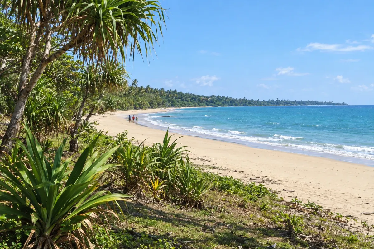
In the photo: Coast east of Vanimo
Illustrative images. The pictures in this guide are illustrations based on the real place, not photographs, and may differ from it.

The province
Get to know West Sepik (Sandaun)
The province of West Sepik, officially called Sandaun, occupies northwestern Papua New Guinea along the border with Indonesia. It stretches from the Pacific coast to the central mountains, where the Sepik River and other island rivers rise.
The capital, Vanimo, sits on a peninsula of the northern coast near the border. The region’s beaches receive Pacific swells and attract surfers, especially during the northwest swell season at the end and start of the year.
Near Vanimo, the Wutung border post links Papua New Guinea with Jayapura in Indonesia and is one of the country’s designated international entry points.
In the interior, the Telefomin mountains, where the Sepik originates, and the forests of the upper Sepik are among the island’s least-visited regions. Villages are reached by small plane and on foot, and travel relies on local support.
When to go
The climate is hot and humid on the coast and cooler in the mountains, with rain throughout the year. For surfing in Vanimo, the swell season usually runs from the end to the start of the year with the northwest monsoon; confirm conditions with local accommodations.
Getting there
Vanimo Airport (VAI) has flights from Wewak, with connections to Port Moresby. By land, Vanimo connects to Indonesia via the Wutung border post near the town. The interior is reached by small plane.
Your questions
Frequently asked questions about West Sepik (Sandaun)
Can you cross the border with Indonesia near Vanimo?
The Wutung border post near Vanimo is a designated international entry point, with a road link to Jayapura in Indonesia. visa and crossing rules depend on your nationality and can change: confirm before travelling.
When is the surf season in Vanimo?
Waves are usually more consistent from the end to the start of the year, when northwest swells from the Pacific arrive. Confirm conditions with local accommodations and operators before you go.
How do you get to Vanimo?
By plane, with flights from Wewak, which has connections to Port Moresby, or by land from Jayapura in Indonesia via the Wutung border post.
Where does the Sepik River begin?
In the province’s interior mountains, in the Telefomin region near the border with Indonesia. From there the river flows down to the north and east, crossing East Sepik toward the Bismarck Sea.