

 Brazil
 Argentina
 Bolivia
 Chile
 Colombia
 Guyana
 French Guiana
 Falkland Islands (Malvinas)
 Paraguay
 Peru
 Suriname
 Uruguay
 Venezuela
 Germany
 Austria
 Belgium
 Croatia
 Denmark
 Slovakia
 Slovenia
 Spain
 Finland
 France
 Greece
 the Netherlands
 Hungary
 Ireland
 Iceland
 Italy
 Luxembourg
 Norway
 Poland
 Portugal
 the United Kingdom
 the Czech Republic
 Sweden
 Switzerland
 Turkey
 Canada
 the United States
 Mexico
 the Dominican Republic
 South Africa
 Australia
 Fiji
 New Zealand
 Papua New Guinea
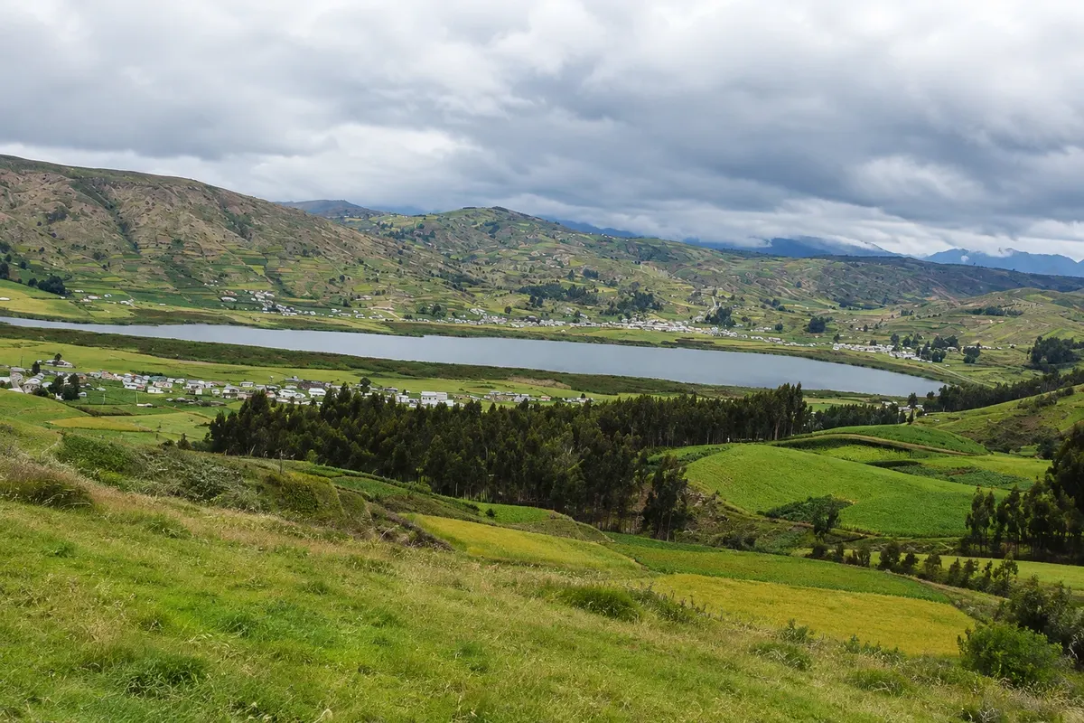
Lagoon · Riobamba, Chimborazo
Laguna Colta
Lagoon at about 3,300 meters, with shores covered in totora, water birds and llamas and sheep grazing on the grasslands; the Church of Balbanera is beside it.
Illustrative images. The pictures in this guide are illustrations based on the real place, not photographs, and may differ from it.



Discover
About Laguna Colta
Laguna de Colta is southwest of Riobamba, about 19 km away, in the canton of Colta, at roughly 3,330 meters altitude. It covers about 275 hectares and is some 2.5 km long, and the Pan-American Highway and the old railway line run along its shore. In Quechua it is called Kulta Kucha.
Much of the shore is covered by totora, a reed used for centuries by locals as food and to make utensils and boats. The plant provides shelter and nesting sites for birds; local studies have identified about 15 species of water birds in the lagoon, some migratory.
Llamas, alpacas and sheep graze on the surrounding grasslands. During canton festivals, residents compete in a race in caballitos de totora, small reed boats paddled by hand, over a course of about 2.5 km.
A path follows part of the shore and lets you see the lagoon from several angles; on clear mornings, Chimborazo appears to the north. At the lagoon’s northern tip stands the Church of Balbanera.
Before you go
Practical information
Cidade Turismo reviews its information regularly, but something may have changed. Check with the place before planning your trip.
How much time to set aside
One to two hours for the walk along the shore and the visit to the Church of Balbanera.
Best time
In the morning, with a better chance of clear skies and seeing Chimborazo. From July to September it usually rains less, and the wind gets stronger. Bring a jacket: the annual average is around 12 °C.
How to get there
It is next to the Pan-American Highway, about 19 km south of Riobamba, roughly a 20-minute drive. Bus lines from Riobamba heading south run along the road by the lagoon.
Tip
Walk slowly: the shore is over 3,300 meters. Observe birds from a distance, without entering the reeds, and combine the visit with the Church of Balbanera.
Get your questions answered
Frequently asked questions about Laguna Colta
Where is Laguna de Colta located?
In the canton of Colta, Chimborazo province, about 19 km south of Riobamba, along the Pan-American Highway. The Church of Balbanera stands on the lake’s northern tip.
What is there to do at Laguna de Colta?
Walk along the shore, watch waterbirds and the totora reeds, and visit the Church of Balbanera. On clear mornings, Chimborazo appears in the background.
What is the elevation of Laguna de Colta?
About 3,330 meters. It is cold most of the year, with an annual average around 12 °C.