

 Brazil
 Argentina
 Bolivia
 Chile
 Colombia
 Ecuador
 Guyana
 French Guiana
 Falkland Islands (Malvinas)
 Paraguay
 Peru
 Suriname
 Uruguay
 Venezuela
 Germany
 Austria
 Belgium
 Croatia
 Denmark
 Slovakia
 Slovenia
 Spain
 Finland
 France
 Greece
 the Netherlands
 Hungary
 Ireland
 Iceland
 Italy
 Luxembourg
 Norway
 Poland
 Portugal
 the United Kingdom
 the Czech Republic
 Sweden
 Switzerland
 Turkey
 the United States
 Mexico
 the Dominican Republic
 South Africa
 Australia
 Fiji
 New Zealand
 Papua New Guinea
Lake · Fort Smith, Northwest Territories
Pine Lake
Green-blue lake formed in limestone sinkholes in Wood Buffalo Park, with a beach, campground and trails through the boreal forest.
Illustrative images. The pictures in this guide are illustrations based on the real place, not photographs, and may differ from it.



Discover
About Pine Lake
Pine Lake is in the park’s central-east area, about 60 km south of Fort Smith. It formed when several sinkholes merged—depressions that appear when groundwater dissolves limestone rock and the ground collapses. For that reason, the lake is deep in places and has a green-blue hue.
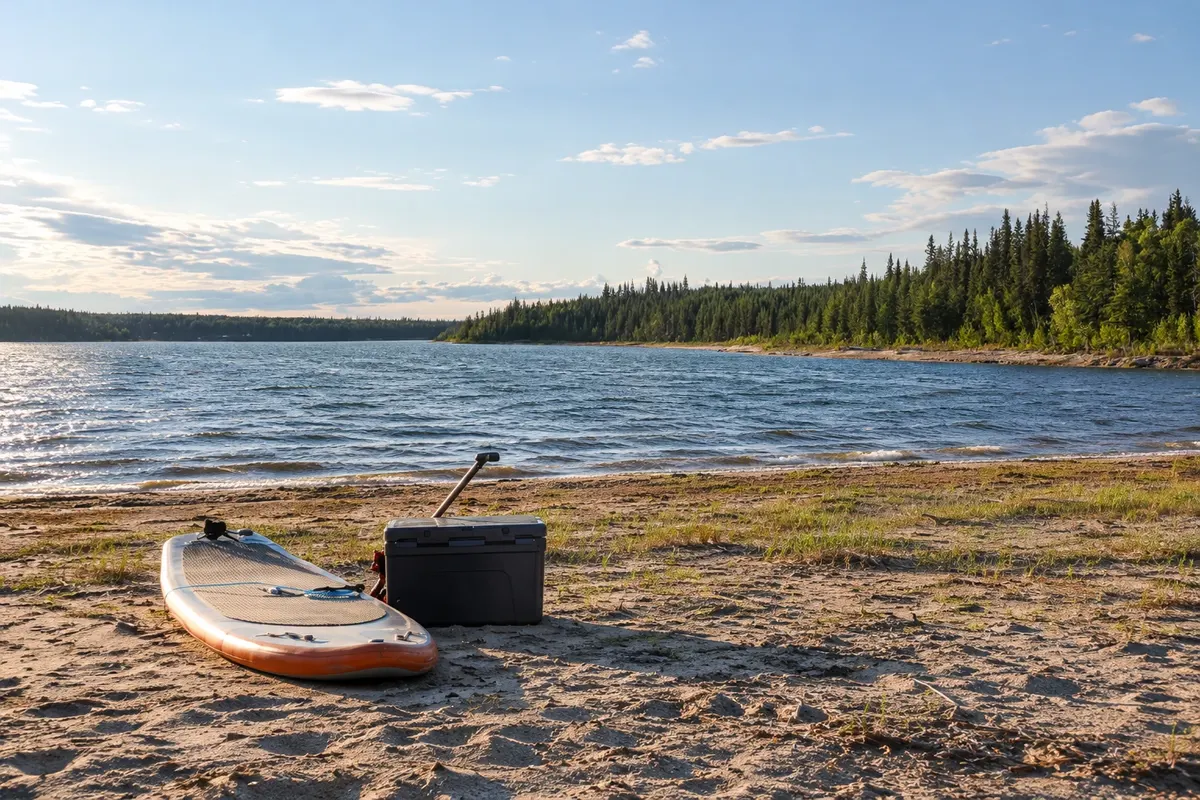
The shore has a sandy beach, picnic area and the park’s main campground, shaded by pine trees. Trails lead to other sinkholes and smaller lakes, such as Kettle Point, through the boreal forest.
Along the way, the road passes through areas where wood bison commonly graze near the pavement and roadside. Foxes, bears and birds also appear. At night, the campground is a good place for starwatching and, at late summer’s end, the aurora borealis.
Before you go
Practical information
Cidade Turismo reviews its information regularly, but something may have changed. Check with the place before planning your trip.
How much time to set aside
Half a day to a day.
Best time
June to August for the beach and camping; late August and September for the dark sky.
How to get there
By the Pine Lake Road, about 60 km south of Fort Smith.
Tip
Drive slowly on the road: bison often stand in the middle of the way.
Official website
Get your questions answered
Frequently asked questions about Pine Lake
How was Pine Lake formed?
By the merging of several sinkholes, depressions caused by the dissolution of limestone.
Can you swim in Pine Lake?
Yes, at the beach in summer; the water is cool.
How far is Fort Smith from Pine Lake?
About 60 km.