

 Brazil
 Argentina
 Bolivia
 Chile
 Colombia
 Ecuador
 Guyana
 French Guiana
 Falkland Islands (Malvinas)
 Paraguay
 Peru
 Suriname
 Uruguay
 Venezuela
 Germany
 Austria
 Belgium
 Croatia
 Denmark
 Slovakia
 Slovenia
 Spain
 Finland
 France
 Greece
 the Netherlands
 Hungary
 Ireland
 Iceland
 Italy
 Luxembourg
 Norway
 Poland
 Portugal
 the United Kingdom
 the Czech Republic
 Sweden
 Switzerland
 Turkey
 the United States
 Mexico
 the Dominican Republic
 South Africa
 Australia
 Fiji
 New Zealand
 Papua New Guinea
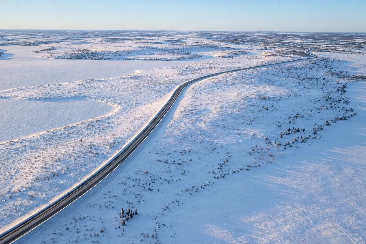
Scenic route · Inuvik, Northwest Territories
Inuvik–Tuktoyaktuk Highway
A gravel road of about 138 km opened in 2017 across tundra and permafrost, the first to reach the Arctic Ocean in Canada.
Illustrative images. The pictures in this guide are illustrations based on the real place, not photographs, and may differ from it.



Discover
About Inuvik–Tuktoyaktuk Highway
Until 2017, Tuktoyaktuk could only be reached by plane, by boat in summer or by an ice road over the Mackenzie River and frozen sea in winter. The Inuvik–Tuktoyaktuk road opened in November 2017, at roughly 138 km, becoming Canada’s first road to reach the Arctic Ocean.
Construction was difficult: the ground is frozen, so the road was built on a thick layer of gravel that insulates the ice from the soil. The route crosses open tundra, with hundreds of lakes, low shrubs, distant pingos and sometimes caribou, foxes and birds.
The road is gravel, with no services or fuel along the way. The trip takes about 2½ to 3 hours each way, depending on conditions.
Before you go
Practical information
Cidade Turismo reviews its information regularly, but something may have changed. Check with the place before planning your trip.
How much time to set aside
One day, round trip.
Best time
Mid-June to September, when the road is dry and days are long.
How to get there
The road starts at the north exit of Inuvik, beside the airport.
Tip
Fill up in Inuvik, carry a spare tire and water: there are no services along the way.
Official website
Get your questions answered
Frequently asked questions about Inuvik–Tuktoyaktuk Highway
When was the road to Tuktoyaktuk opened?
In November 2017.
Is the Inuvik–Tuktoyaktuk Highway paved?
No, it’s gravel.
Are there gas stations on the road to Tuktoyaktuk?
No; refuel in Inuvik.