Baffin Island (Canada): Pangnirtung; Pond Inlet

Nunavut · Canada

Baffin Island (Canada): Pangnirtung; Pond Inlet

Eastern Arctic of Nunavut: Auyuittuq National Park with its granite cliffs, fjords, sea ice, narwhals at the ice edge, and Inuit communities.

Northern Canada

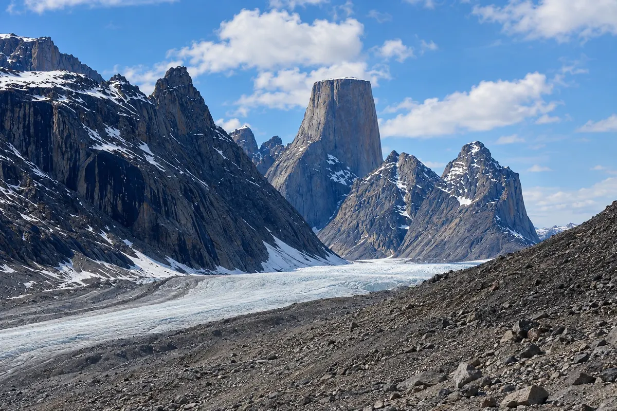
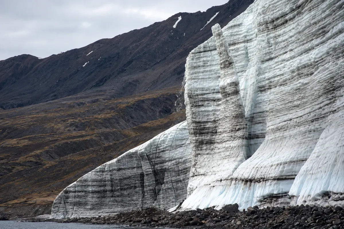
In the photo: Mount Asgard and a glacial valley in Auyuittuq, on Baffin Island.

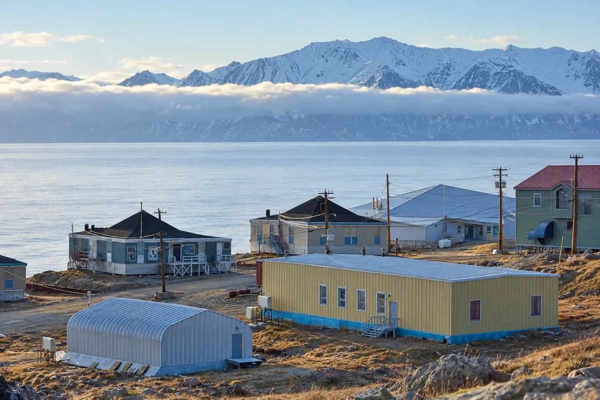
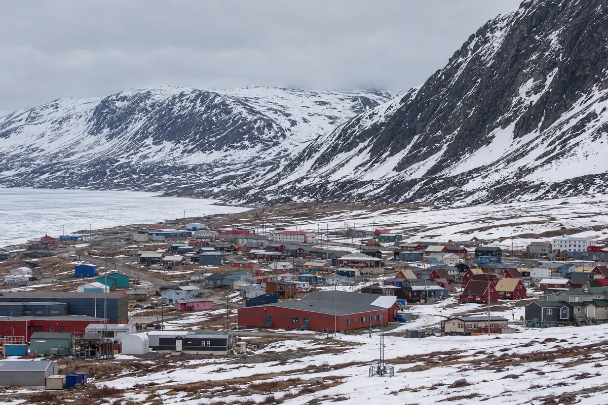
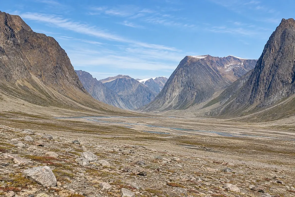
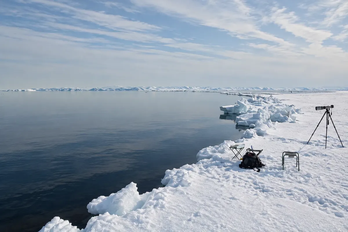
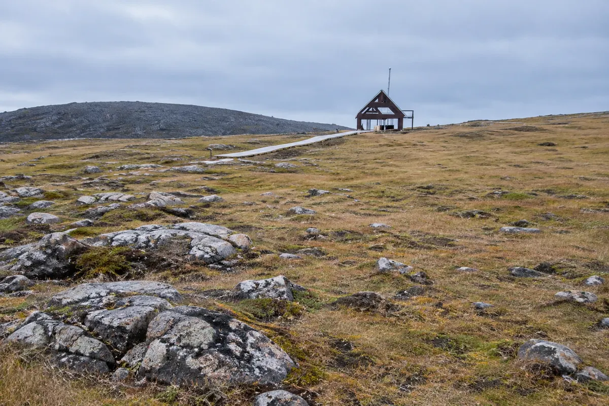
Illustrative images. The pictures in this guide are illustrations based on the real place, not photographs, and may differ from it.

Get to know the place

A region to enjoy
at your own pace.

Baffin Island is Canada’s largest island and the world’s fifth largest, in the territory of Nunavut. The east coast has granite mountains, glaciers and deep fjords; the interior is tundra and ice. Inuit communities live in small coastal settlements, connected to each other and to the south only by plane.

Pangnirtung sits in a fjord near the Arctic Circle and is the gateway to Auyuittuq National Park, whose name in Inuktitut means “land that never melts.” The Akshayuk Pass crosses the park between cliffs such as Mount Thor, one of the largest vertical rock faces in the world.

In the north of the island, Pond Inlet looks out onto Bylot Island and Sirmilik National Park, with huge seabird colonies and glaciers that reach the sea. Between late May and June, the sea ice edge draws narwhals, bowhead whales, seals, polar bears and birds, seen on guided expeditions with Inuit guides.

Traveling to Baffin requires planning, local guides and flexibility because of the weather and flights.

This destination brings together 2 cities: Pond Inlet, Pangnirtung.

Share: WhatsApp
Traveler, share your experiences through photos Up to 5 photos of each place you visited.

One destination, many paths

The cities on this trip

Start with one city or combine several in your itinerary.

Where Baffin Island (Canada): Pangnirtung; Pond Inlet is
Pond InletPangnirtung

Boundaries: Statistics Canada (Statistics Canada Open Licence) / geoBoundaries. Adapted by Cidade Turismo.

How to get there: Baffin Island (Canada): Pangnirtung; Pond Inlet

✈ Pond Inlet Airport (YIO) · 2 km to Pond Inlet

You arrive by plane to Iqaluit, with flights from Ottawa and Montreal, and from there by regional flights to Pangnirtung (YXP) and Pond Inlet (YIO). There are no roads between communities.

Suggested arrival point: Pond Inlet

The local experience

Things to do in Baffin Island (Canada): Pangnirtung; Pond Inlet

Auyuittuq National Park
Pangnirtung · Nunavut · National park

Auyuittuq National Park

A park of granite mountains, glaciers and glacial valleys on Baffin Island, cut by the Akshayuk Pass, with Mount Thor’s cliff and the Arctic Circle.

Sirmilik National Park
Pond Inlet · Nunavut · National park

Sirmilik National Park

Park of northern Baffin Island and Bylot Island, with mountains, glaciers that reach the sea, seabird cliffs, and tens of thousands of snow geese.

Pond Inlet floe edge
Pond Inlet · Nunavut · Wildlife viewing

Pond Inlet floe edge

The edge between sea ice and open water, reached on guided snowmobile and sled expeditions, where narwhals, whales, seals, polar bears, and birds gather in early summer.

Kekerten
Pangnirtung · Nunavut · Historic site

Kekerten

An island in the Cumberland Strait with remains of a 19th-century whaling station, such as blubber boilers and storehouse foundations, reached by boat from Pangnirtung.

Before you go

Practical information

A little planning leaves more time to enjoy the journey.

When to go

From late May to June for the ice edge at Pond Inlet; from July to August for Auyuittuq’s trails and the fjords without ice. The sun does not set for weeks in summer.

The seasons shown are the most usual ones; nature doesn't always follow the calendar.

How many days to stay

Five to ten days: three or more in Pangnirtung and Auyuittuq and three or more in Pond Inlet, allowing time for flight delays.

Which city to stay in

Pangnirtung and Pond Inlet have small hotels and guesthouses in residents’ homes. In the parks there is only camping and emergency shelters. Book well in advance.

Respect the place

Take your trash with you, follow the signs and support local businesses. In natural areas, follow the visiting guidelines.

Get your questions answered

Frequently asked questions about Baffin Island (Canada): Pangnirtung; Pond Inlet

How to get to Pangnirtung and Pond Inlet?

By plane, connecting in Iqaluit; there are no roads between communities.

When to see narwhals at Pond Inlet?

From late May to June, at the sea ice edge, on expeditions with Inuit guides.

Do you need a guide on Baffin Island?

For the ice edge and the fjords, yes. In Auyuittuq, independent hikers must register and attend the park orientation.

Are there polar bears on Baffin Island?

Yes. Follow park and guide instructions; guides carry protective equipment.

What time zone is Pangnirtung in?

Eastern Time, same as Ottawa: UTC−5, and UTC−4 from March to November.

Explore other destinations Search by state and city