Gros Morne

Newfoundland and Labrador · Canada

Gros Morne

The western coast national park of Newfoundland, a World Heritage Site: freshwater fjords between cliffs, the Tablelands of mantle rock and fishing villages on Bonne Bay.

Atlantic Canada

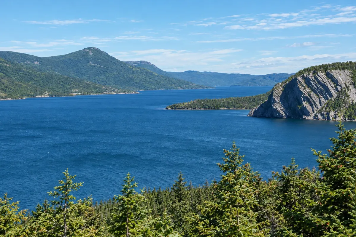
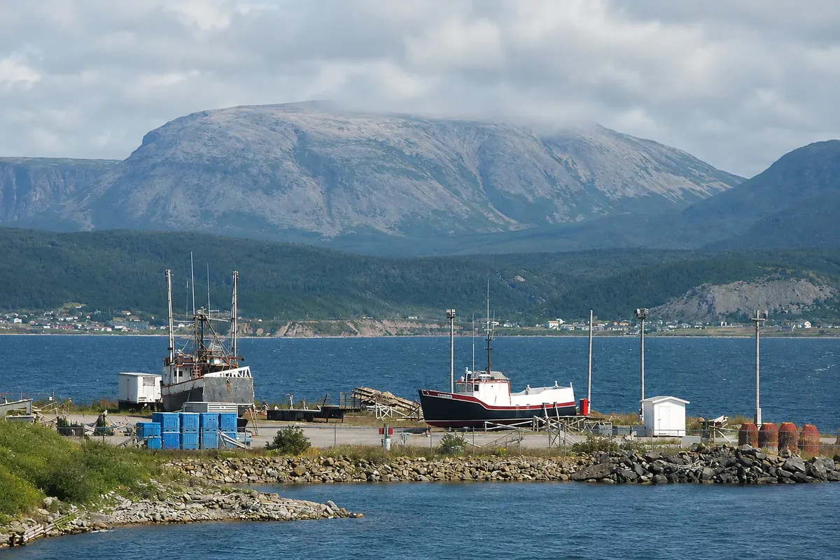
In the photo: Bonne Bay and the mountains of Gros Morne National Park.

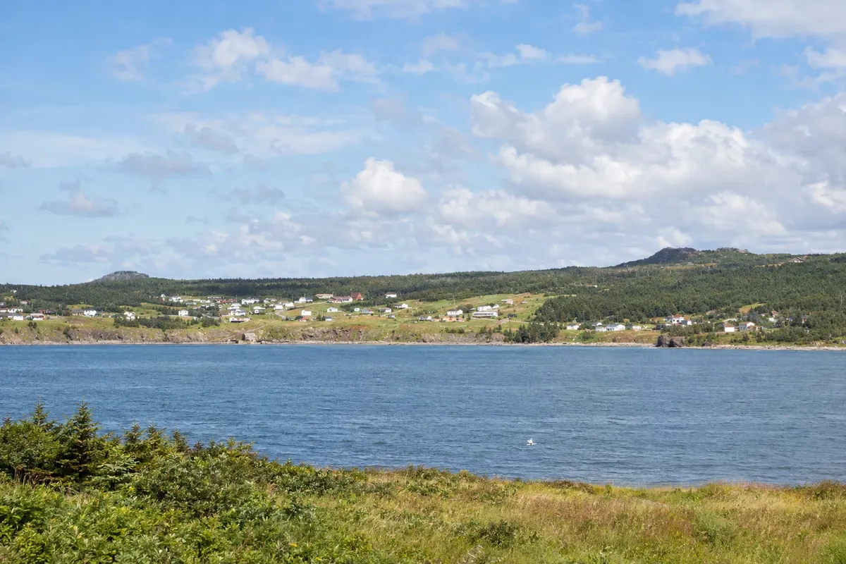
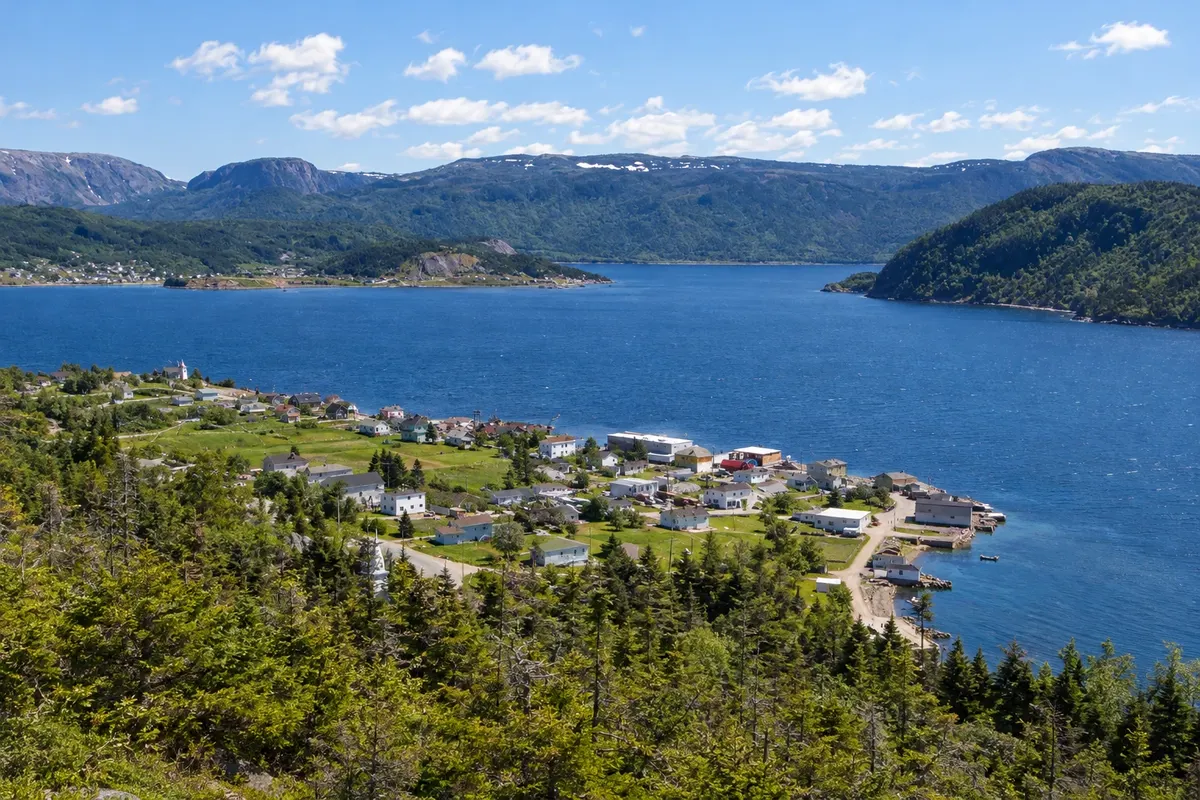
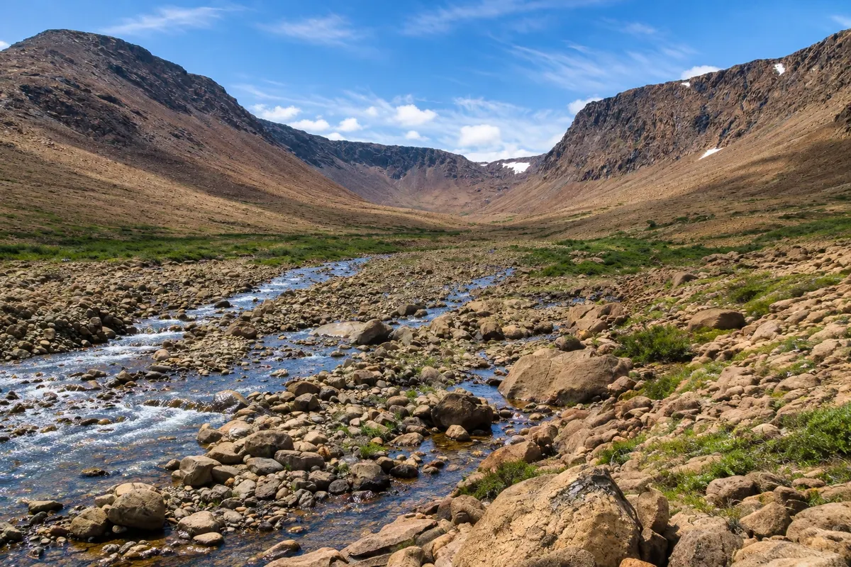
Illustrative images. The pictures in this guide are illustrations based on the real place, not photographs, and may differ from it.

Get it on Google Play Send your photos

Get to know the place

A region to enjoy
at your own pace.

Gros Morne National Park occupies the western coast of Newfoundland, between the Gulf of St. Lawrence and the Long Range Mountains. It was inscribed as a UNESCO World Heritage Site in 1987 for its geology: in few places on Earth is the movement of the continents so clearly visible.

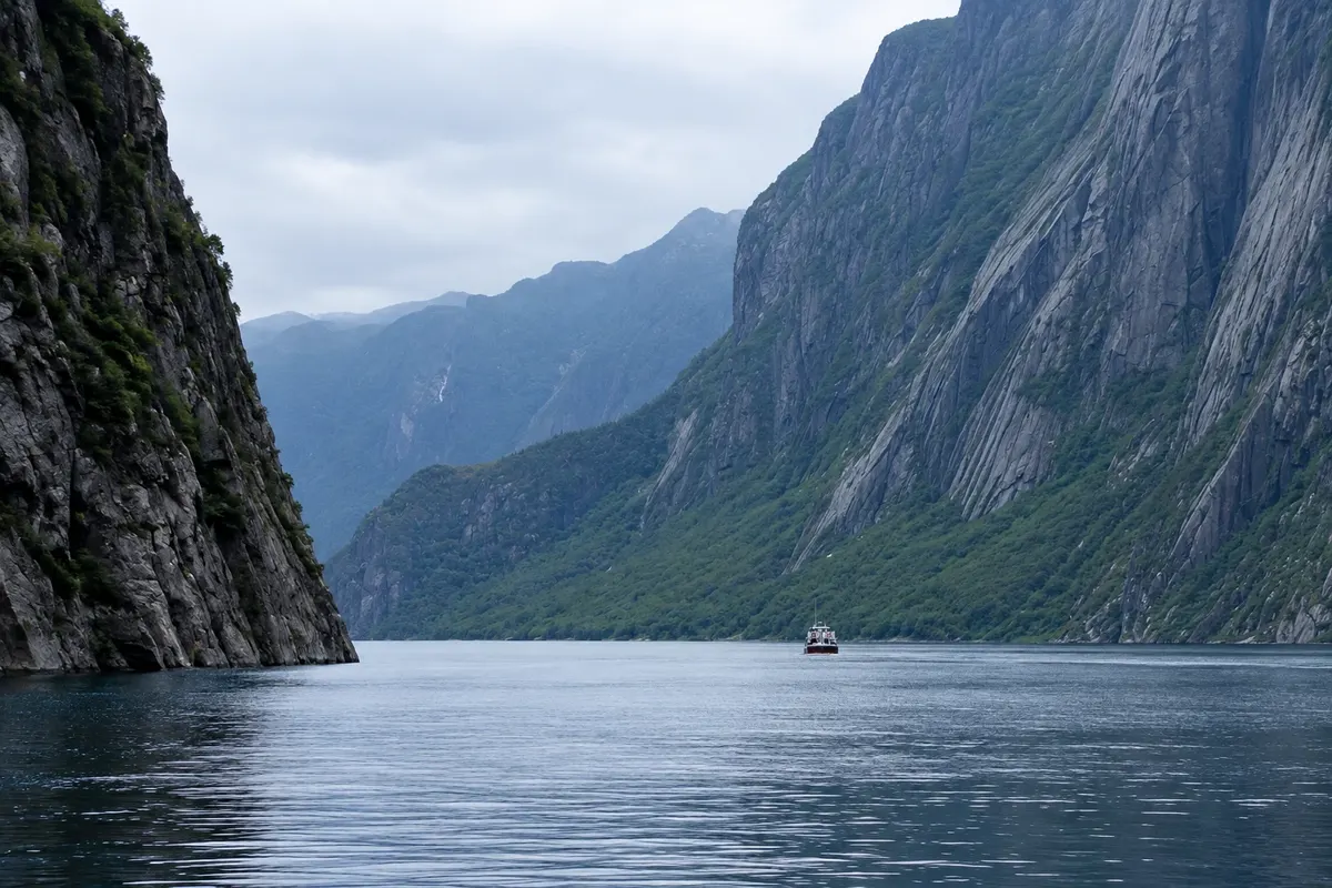
At the Tablelands, near Woody Point, rock from the Earth’s mantle emerges at the surface, pushed up by plate collisions hundreds of millions of years ago. It is an orange, almost vegetation‑free plateau, contrasting with the surrounding forest. Farther north, Western Brook Pond fills a former fjord carved by glaciers and now cut off from the sea, sitting between cliffs hundreds of meters high with waterfalls.

Mount Gros Morne, at 806 meters, gives the park its name and has a trail to the summit. On the coast, villages such as Rocky Harbour, Norris Point and Woody Point rely on fishing and tourism, along Bonne Bay, a fjord‑like inlet that reaches into the mountains.

The park is visited by car along Route 430, the Viking Trail, which continues north to L'Anse aux Meadows.

This destination brings together 2 cities: Rocky Harbour, Woody Point.

Share: WhatsApp
Traveler, share your experiences through photos Up to 5 photos of each place you visited.

One destination, many paths

The cities on this trip

Start with one city or combine several in your itinerary.

Where Gros Morne is
Woody PointRocky Harbour

Boundaries: Statistics Canada (Statistics Canada Open Licence) / geoBoundaries. Adapted by Cidade Turismo.

How to get there: Gros Morne

✈ Deer Lake Regional Airport (YDF), in Deer Lake · 70 km to Rocky Harbour

Deer Lake Airport (YDF) is about 70 km from Rocky Harbour via Route 430. By car, Marine Atlantic ferries arrive at Port aux Basques, roughly 330 km to the south.

Suggested arrival point: Rocky Harbour

The local experience

Things to do in Gros Morne

Tablelands
Woody Point · Newfoundland and Labrador · Geological formation

Tablelands

Orange rock plateau of the Earth’s mantle, almost without vegetation, near Woody Point, with a flat trail of about 4 km round trip through a valley.

Western Brook Pond
Rocky Harbour · Newfoundland and Labrador · Lake

Western Brook Pond

A 16 km freshwater lake in a former glacier‑carved fjord, between cliffs hundreds of meters high with waterfalls, visited by boat from a dock 3 km from the road.

Gros Morne Discovery Centre
Woody Point · Newfoundland and Labrador · Visitor center

Gros Morne Discovery Centre

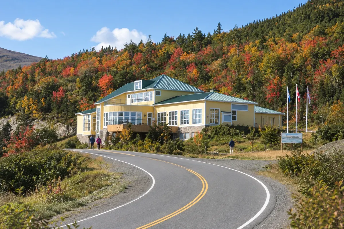
Parks Canada interpretation centre near Woody Point, with exhibits on the park’s geology, wildlife and plants and views of the Tablelands and Bonne Bay.

Lobster Cove Head Lighthouse
Rocky Harbour · Newfoundland and Labrador · Lighthouse

Lobster Cove Head Lighthouse

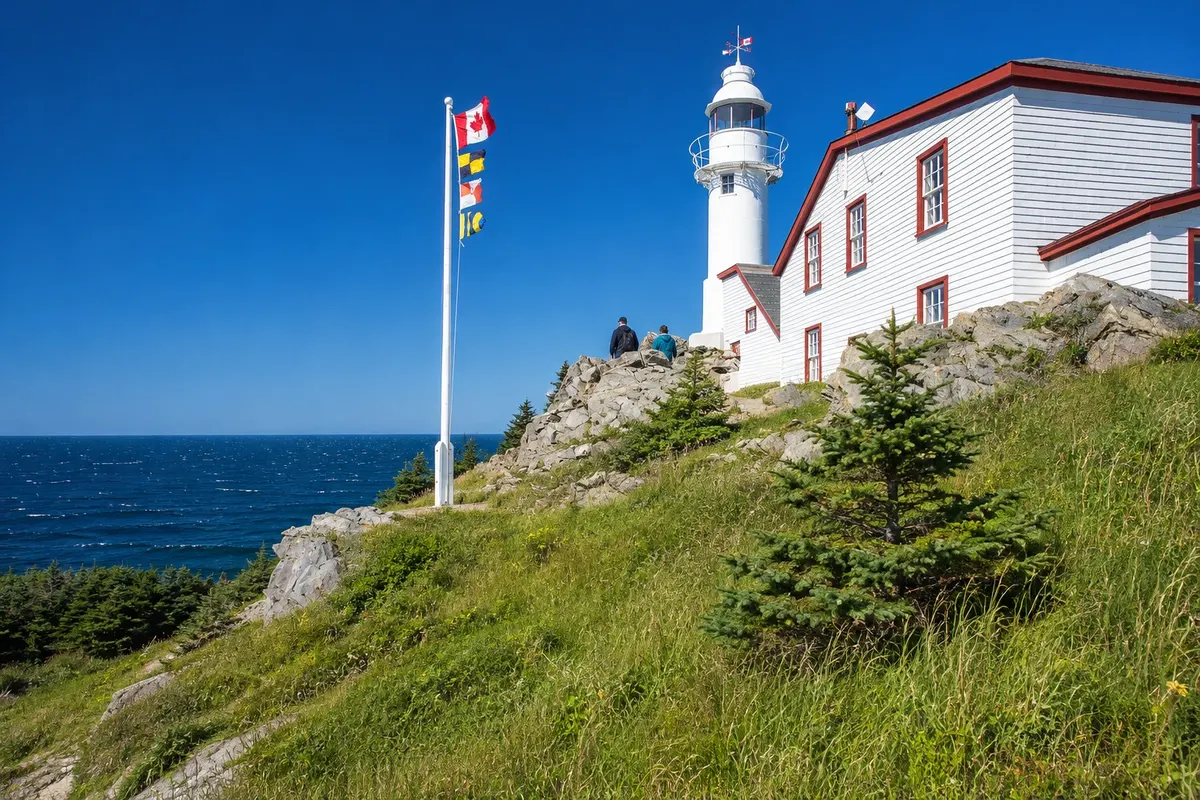
White and red lighthouse from 1897 at the entrance to Bonne Bay, beside Rocky Harbour, with an exhibit about coastal life and a short headland trail.

See 1 more place in Gros Morne
Gros Morne Mountain
Rocky Harbour · Newfoundland and Labrador · Mountain

Gros Morne Mountain

806-meter mountain that gives the park its name, with a roughly 16 km round-trip trail to the summit, offering views of the fjords and the Long Range plateau.

Before you go

Practical information

A little planning leaves more time to enjoy the journey.

When to go

From June to September, with boats, trails and services open. The Western Brook Pond boat usually runs from mid‑May through the end of September. October offers fall colors and fewer visitors. Winter is long and snowy, suitable for skiing and snowshoeing.

The seasons shown are the most usual ones; nature doesn't always follow the calendar.

How many days to stay

Three days: one for Western Brook Pond, one for the Tablelands and Woody Point, and one for Mount Gros Morne or other hikes.

Which city to stay in

Rocky Harbour is the village with the most lodging and services, in the park’s center. Norris Point overlooks Bonne Bay. Woody Point, on the opposite side of the bay, is the base for the Tablelands and Trout River.

Respect the place

Take your trash with you, follow the signs and support local businesses. In natural areas, follow the visiting guidelines.

Get your questions answered

Frequently asked questions about Gros Morne

How many days to stay in Gros Morne?

Three days for Western Brook Pond, the Tablelands and a longer trail; more time if you plan multi‑day hikes.

Do you need a car in Gros Morne?

Yes. Villages, trails and boat departures are spread across the park, and there is no regular public transport.

What are the Tablelands?

A plateau of mantle rock, orange and almost bare of vegetation, exposed by the collision of tectonic plates.

Why is Gros Morne a World Heritage Site?

For its geology, which illustrates continental drift and mantle rocks, and for the glacier‑carved fjord landscape. It was inscribed in 1987.

What time zone is Gros Morne in?

Newfoundland Time: UTC−3:30, and UTC−2:30 from March to November.

Explore other destinations Search by state and city