

 Brazil
 Argentina
 Bolivia
 Chile
 Colombia
 Ecuador
 Guyana
 French Guiana
 Falkland Islands (Malvinas)
 Paraguay
 Peru
 Suriname
 Uruguay
 Venezuela
 Germany
 Austria
 Belgium
 Croatia
 Denmark
 Slovakia
 Slovenia
 Spain
 Finland
 France
 Greece
 the Netherlands
 Hungary
 Ireland
 Iceland
 Italy
 Luxembourg
 Norway
 Poland
 Portugal
 the United Kingdom
 the Czech Republic
 Sweden
 Switzerland
 Turkey
 the United States
 Mexico
 the Dominican Republic
 South Africa
 Australia
 Fiji
 New Zealand
 Papua New Guinea
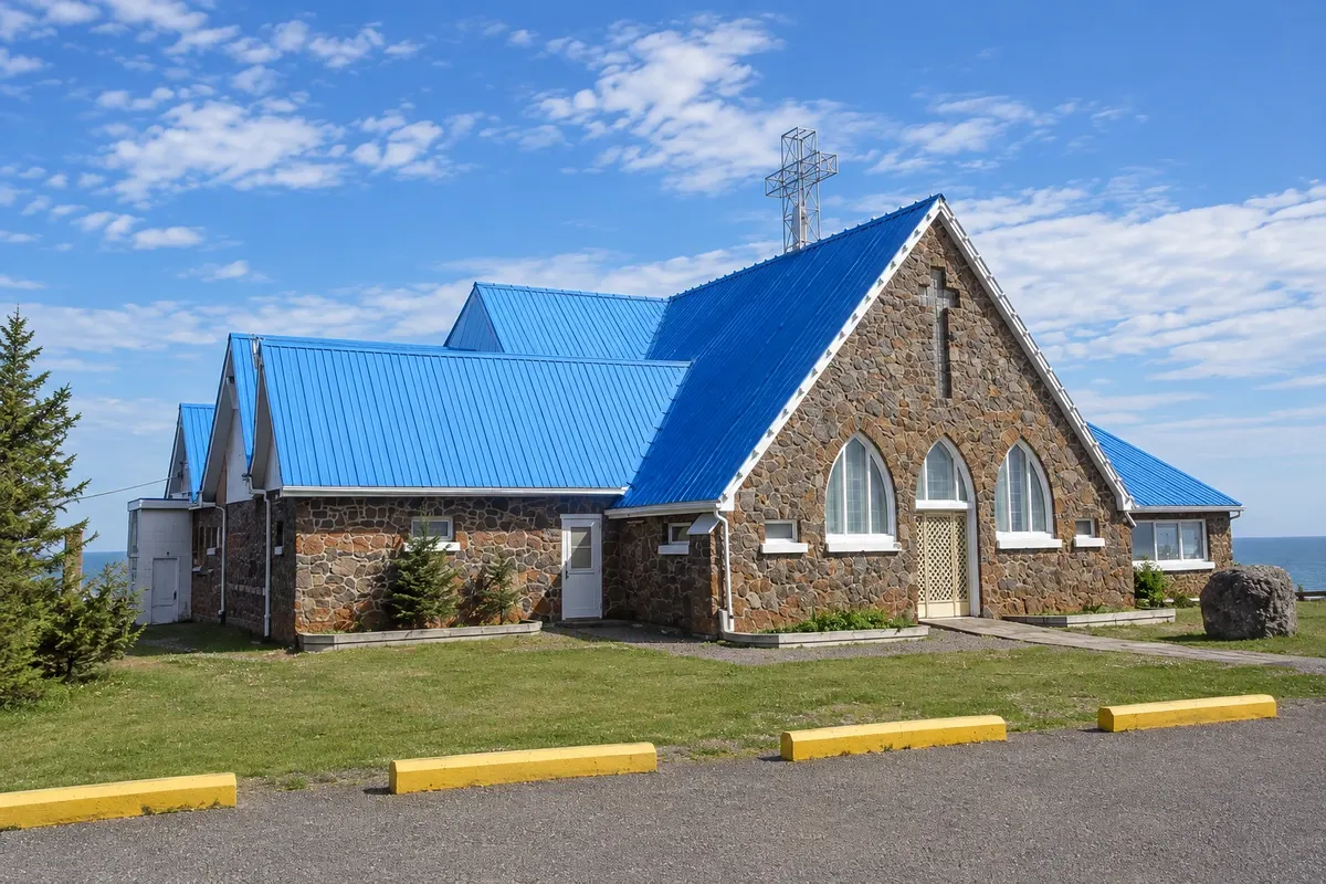
Viewpoint · Carleton-sur-Mer, Quebec
Mont Saint-Joseph
A mountain of about 555 meters behind Carleton-sur-Mer, with a road to the top, a stone oratory and views of Baie des Chaleurs and New Brunswick.
Illustrative images. The pictures in this guide are illustrations based on the real place, not photographs, and may differ from it.



Discover
About Mont Saint-Joseph
Mont Saint-Joseph rises just behind Carleton-sur-Mer, reaching about 555 meters in elevation. At the summit stands the oratory of Notre-Dame-du-Mont-Saint-Joseph, a stone chapel built in the 1930s over an older shrine, with stained glass and mosaics.
From the viewpoint around the oratory you can see the whole Baie des Chaleurs, the lagoon and Carleton’s sandy spit, the coastal villages and, across the water, New Brunswick’s shore. On a clear day the view extends for dozens of kilometers.
A road leads to the summit, and hiking trails start in town and cross the mountain forest. In summer the summit is also used as a launch site for hang gliding and paragliding.
Before you go
Practical information
Cidade Turismo reviews its information regularly, but something may have changed. Check with the place before planning your trip.
How much time to set aside
One to two hours; longer if you take the hiking trails up.
Best time
From June to October on a clear day. In September and October the slopes change color with the autumn foliage.
How to get there
By a road that leaves the center of Carleton-sur-Mer and climbs to the summit, or via the mountain trails.
Tip
If you feel like it, hike up one of the trails and drive down with someone from your group, or do the opposite.
Official website
Get your questions answered
Frequently asked questions about Mont Saint-Joseph
What is the elevation of Mont Saint-Joseph?
About 555 meters.
Can you drive up Mont Saint-Joseph?
Yes, a road leads to the oratory at the summit.
What can you see from Mont Saint-Joseph?
Chaleur Bay, the Carleton lagoon and the coast of New Brunswick.