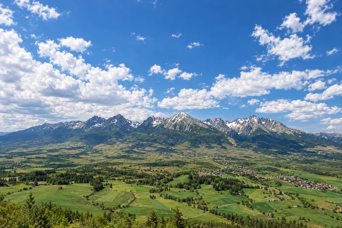
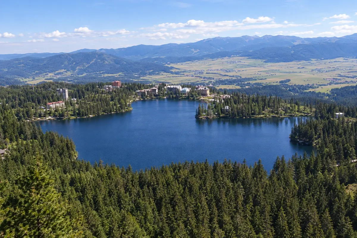
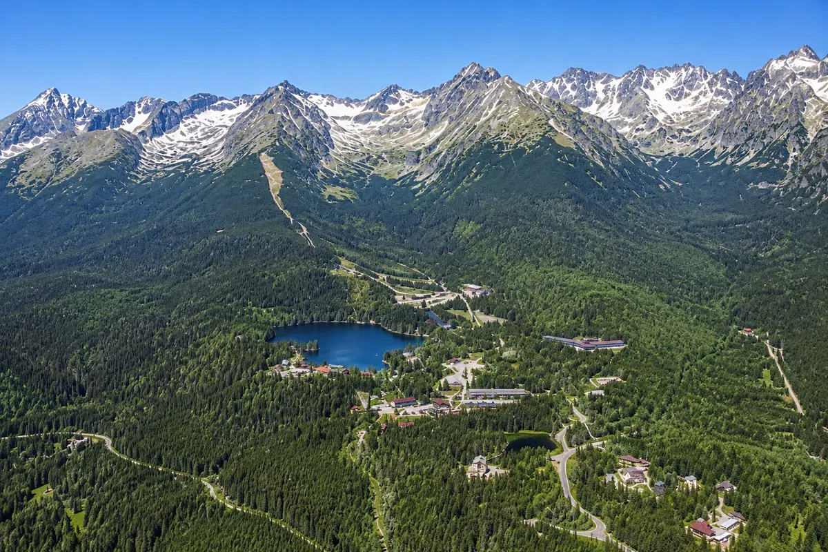
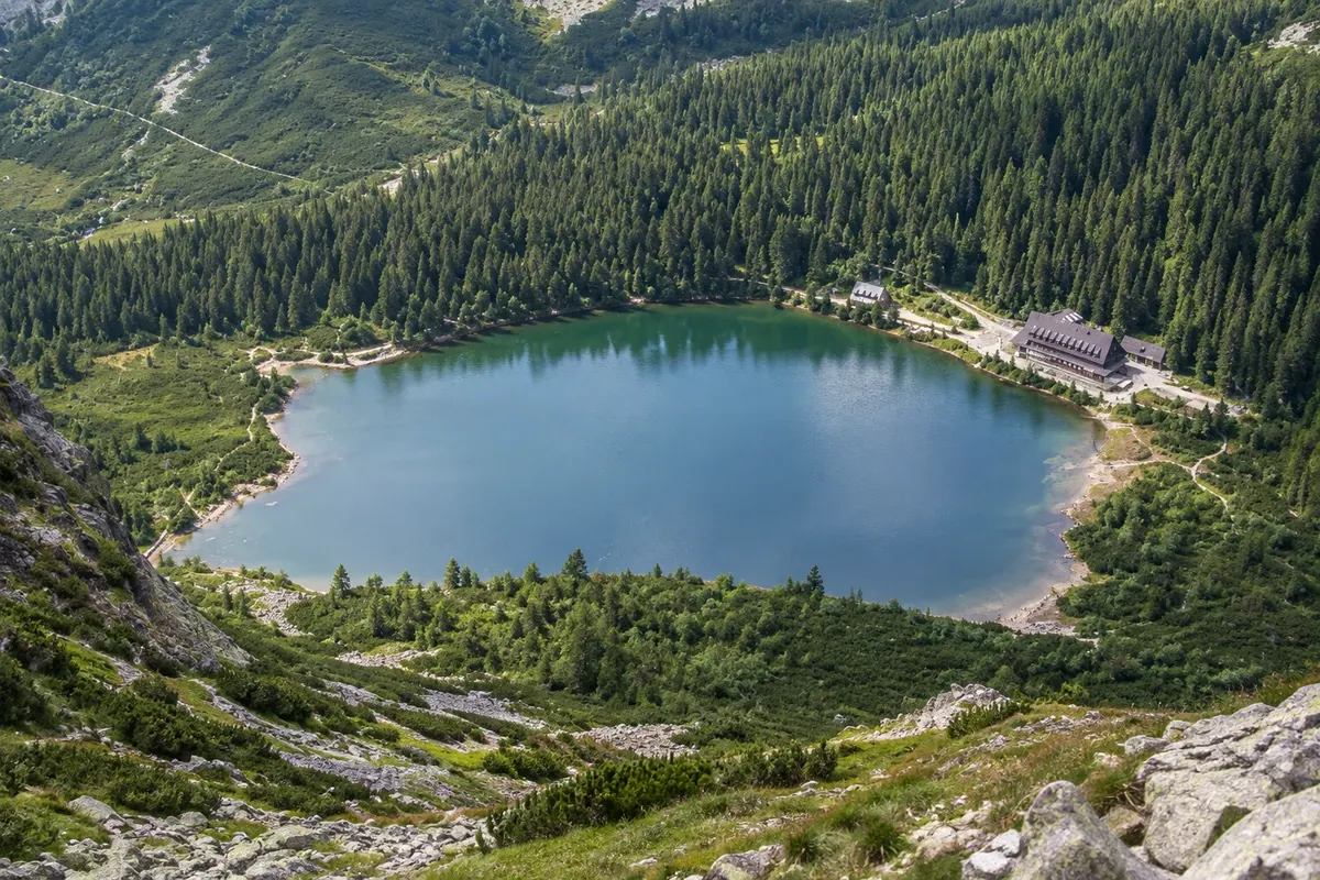
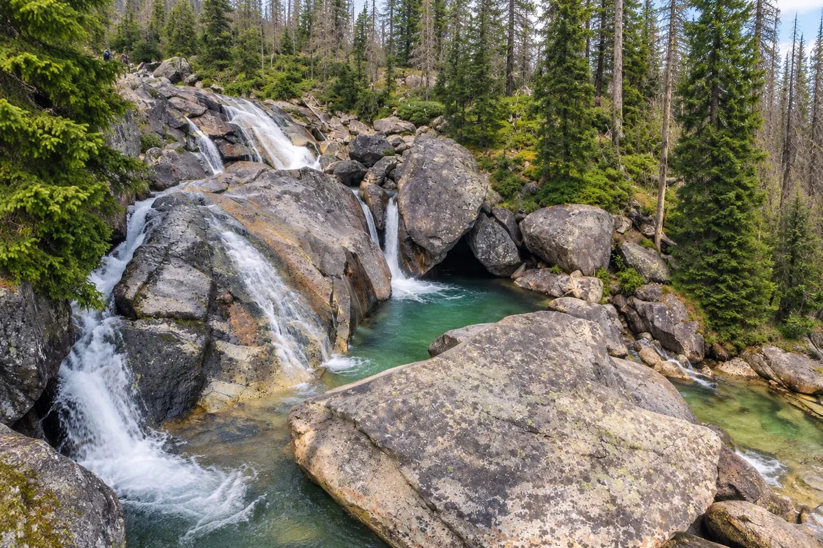
The High Tatras (Vysoké Tatry) are the highest part of the Carpathian range and form Slovakia’s northern border with Poland. On the Slovak side stands Gerlachovský štít, at 2,655 meters, the country’s highest point, and Kriváň, with its slanted profile long regarded as a national symbol. The region has more than a hundred glacial lakes (plesá), U-shaped valleys and waterfalls, all inside the Tatra National Park (TANAP), created in 1949 and the country’s oldest.
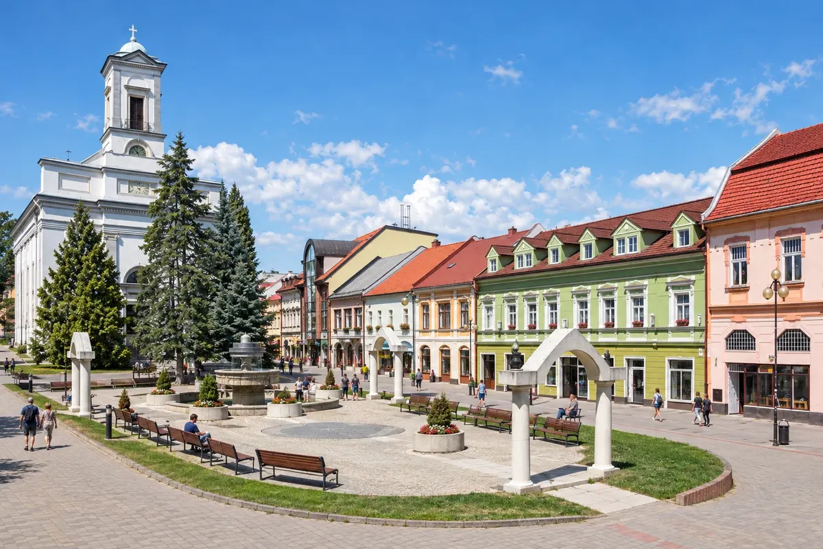
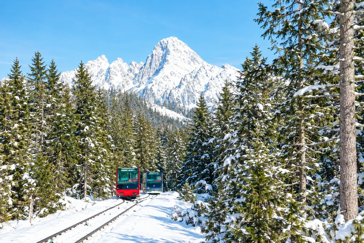
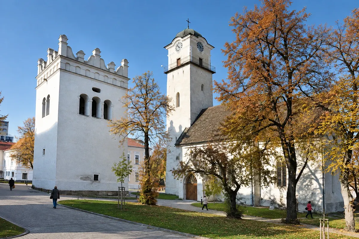
Tourist life is organized along a band of villages at the foot of the mountains, between 800 and 1,350 meters of altitude. Štrbské Pleso, Starý Smokovec and Tatranská Lomnica began as spa and ski resorts in the 19th and 20th centuries and today are part of a single town, Vysoké Tatry. A narrow-gauge electric train links these settlements with each other and with Poprad, the valley town with an airport and a station on the country’s main line.
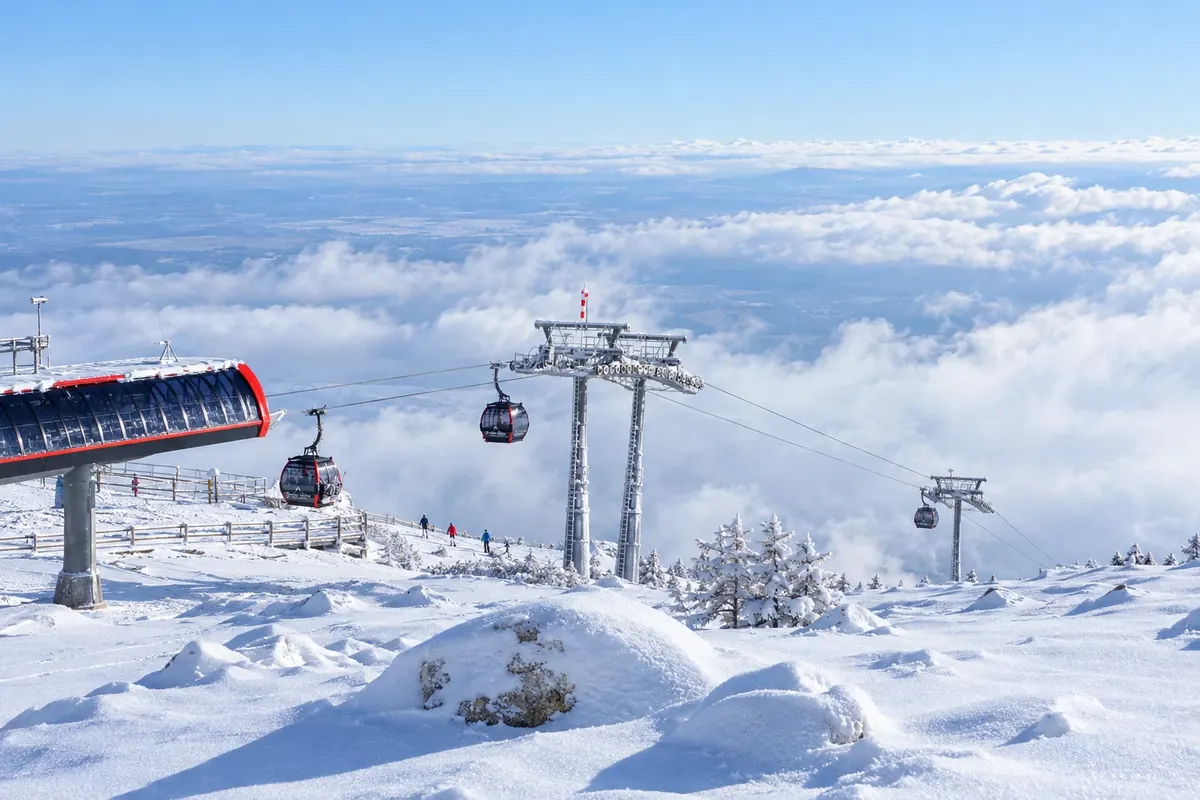
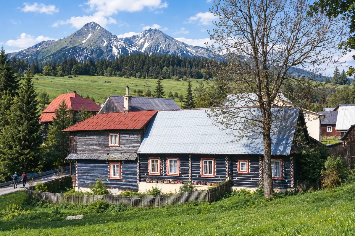
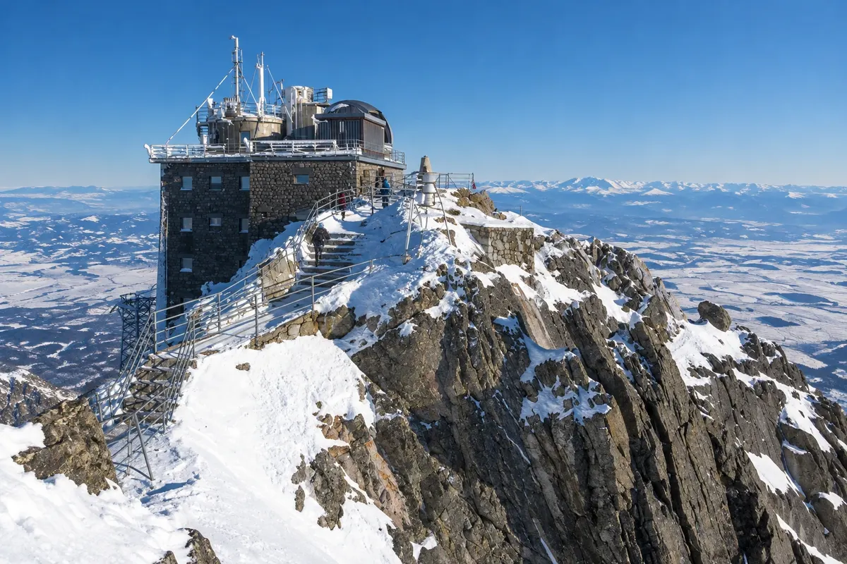
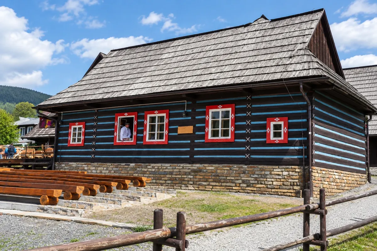
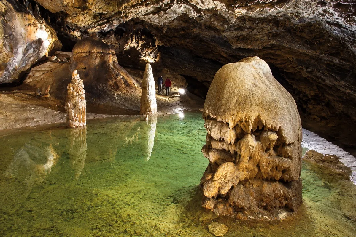
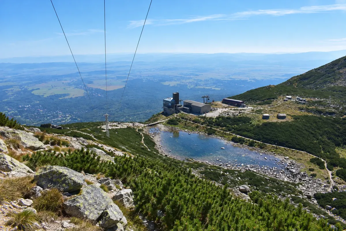
In summer, trails climb from the villages to the lakes and mountain huts, and cable cars go up to Skalnaté pleso and the summit of Lomnický štít, at 2,634 meters. The road that circles the massif continues east to Ždiar, a village of painted wooden houses at the foot of the Belianske Tatras, near Belianska Cave. In winter, Štrbské Pleso and Tatranská Lomnica have ski slopes and cross-country tracks.
The park has its own visitor rules. Trails above the mountain huts are closed from November 1 to June 15, and during that period you may only go up as far as the huts, with few exceptions. Walking off marked trails is not permitted, and mountain weather changes quickly, even in summer.
This destination brings together 5 cities: Poprad, Štrbské Pleso, Starý Smokovec, Tatranská Lomnica, Ždiar.


 Brazil
 Argentina
 Bolivia
 Chile
 Colombia
 Ecuador
 Guyana
 French Guiana
 Falkland Islands (Malvinas)
 Paraguay
 Peru
 Suriname
 Uruguay
 Venezuela
 Germany
 Austria
 Belgium
 Croatia
 Denmark
 Spain
 Finland
 France
 Greece
 the Netherlands
 Hungary
 Ireland
 Iceland
 Italy
 Luxembourg
 Norway
 Poland
 Portugal
 the United Kingdom
 the Czech Republic
 Sweden
 Switzerland
 Turkey
 Canada
 the United States
 Mexico
 the Dominican Republic
 South Africa
 Australia
 Fiji
 New Zealand
 Papua New Guinea