Hill 60 and Caterpillar Crater: the war of the mines
From Ieper Car, bicycle or tour about 2 hours afternoon easy (dirt paths)
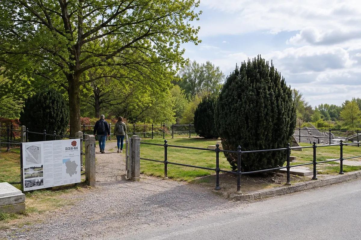
South of Ypres, in Zillebeke, Hill 60 is a small artificial rise formed around 1850 from earth dug out for the railway. Being a high point in a flat region, it was fiercely contested throughout the war. Miners from both sides dug tunnels under the enemy lines, and the explosions of 7 June 1917, at the start of the Battle of Messines, left the ground shaped into the craters you see today.
The site is preserved as a memorial by the Commonwealth War Graves Commission, with a concrete bunker and monuments, including one for Australian tunnellers. On the other side of the railway is the Caterpillar Crater, a flooded mine crater in the middle of the wood.
At the nearby provincial domain De Palingbeek, the Entry Point South explains the subterranean warfare of 1915–1917 with a film and panels, and marked footpaths depart from there for the surrounding area.
Stops: Hill 60, Caterpillar Crater, Entry Point South, De Palingbeek.
Includes: The sites and the Entry Point South are free to enter. Travel is by your own arrangement or as part of a tour.
Tip: Many soldiers remain buried beneath the hill: stay on the marked trails and show respect. Wear closed shoes, as the ground is often muddy.
Best time: All year. From April to October the trails are usually drier.
East of the Salient: Sanctuary Wood (Hill 62) and Hooge Crater Museum
From Ypres (about 5 km) Car, bicycle or tour about 3 hours afternoon easy (trenches can be muddy)
East of Ypres, along the Menenseweg, the road to Menen, are several front‑line sites about 5 km from the Grote Markt.
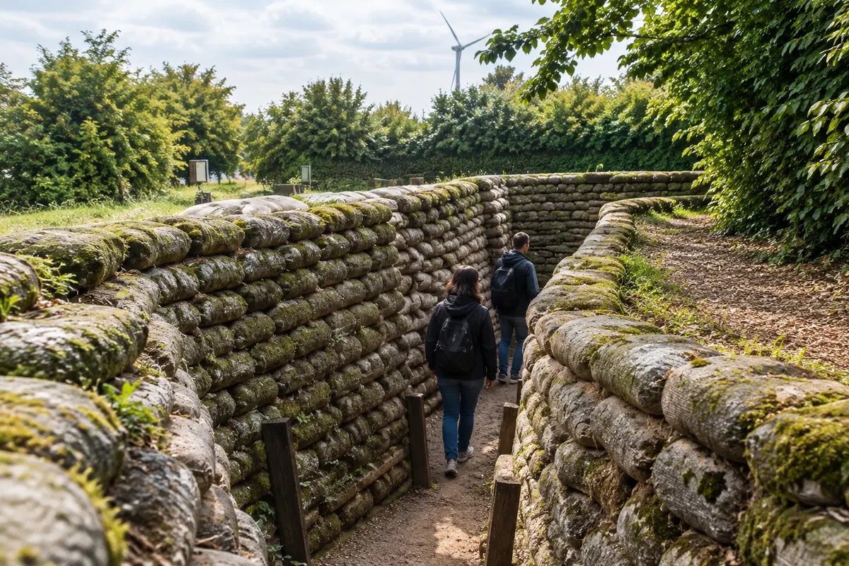
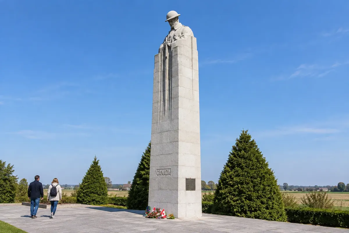
The Sanctuary Wood Museum Hill 62 is a private museum, kept by the family that has owned the land since before the war. It displays weapons, equipment and 3D photographs from the period and, at the rear, preserves a section of British trenches and underground structures. Nearby, the Hill 62 Canadian Memorial commemorates Canadian soldiers who took the hill in 1916; from the top you can see Ypres’s towers.
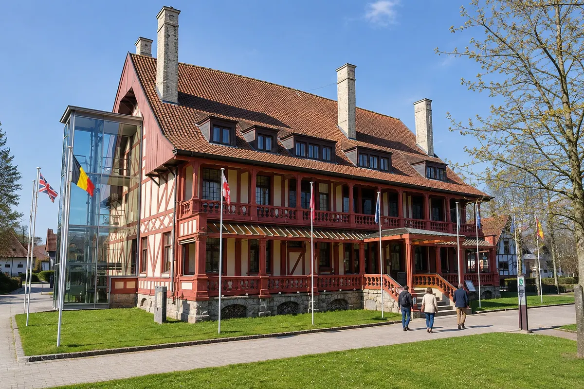
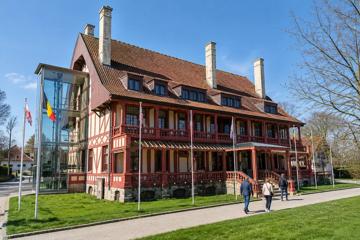
The Hooge Crater Museum occupies an old chapel from the early 1920s, opposite Hooge Crater Cemetery. It has life‑size reconstructions of war scenes, weapons, equipment and a 1916 Ford T ambulance. Beside it, Entry Point East introduces the eastern Salient and marks walking trails to Hill 62 and Sanctuary Wood.
Stops: Sanctuary Wood Museum Hill 62, Hill 62 Canadian Memorial, Hooge Crater Museum, Hooge Crater Cemetery, Entry Point East.
Includes: Both museums have separate admission charges; check current prices. The Hill 62 trench is included in the museum ticket. The Canadian memorial and Entry Point East have free entry.
Tip: At Hill 62 the trenches are wet and muddy: wear boots or old trainers. The Hooge Crater Museum is closed on Mondays and Tuesdays, and both sites have partial winter closures.
Best time: From February to mid‑December. Both museums usually close between mid‑December and the end of January.
Kemmelberg, Ossuaire français and the Bayernwald trenches
From Ieper Car, bicycle or De Lijn bus about 4 hours full day easy to moderate (walks with climbs)
Kemmelberg (Mount Kemmel), in Heuvelland south of Ypres, rises to 154 m. The summit is a provincial estate of woods, pasture, orchards and vineyards, with trails and views over West Flanders and French Flanders. At the highest point, the Belvédère tower, a listed monument, has a viewing scope and panels about the landscape and history.
At the foot of the hill is the Ossuaire français, where the remains of 5,294 French soldiers rest, most killed in the battle for Kemmelberg in April 1918. Only 57 were identified; known names are inscribed on the central monument. The ossuary is part of the First World War sites inscribed as UNESCO World Heritage.
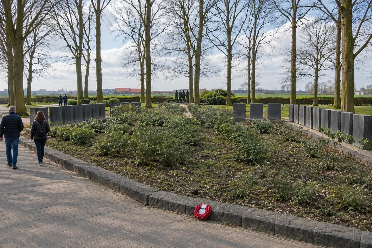
In Wijtschate, Bayernwald is a recreated German position, with trenches, two mine galleries, a mine shaft and four bunkers, traversed by a waymarked path with panels.
Stops: Kemmelberg, Belvédère, Ossuaire français, Bayernwald, Kemmel, Wijtschate.
Includes: The Kemmelberg estate, the Belvédère and the ossuary have free entry. Bayernwald has an admission fee, sold by Heuvelland tourism via the online shop or the Kemmel office; check the current rates.
Tip: Buy the Bayernwald ticket before you go. A waymarked 8 km trail starts at the Kemmel visitor centre, in the old parsonage opposite the church.
Best time: All year. In April and May, bluebells bloom on the slopes of Kemmelberg.
Pool of Peace, Island of Ireland Peace Park and Ploegsteert
From Ieper Car, bicycle or tour about 4 hours full day easy
On 7 June 1917, the Battle of Messines began with the detonation of 19 deep mines beneath the German lines, between Ploegsteert and Hill 60. At Wijtschate, the Pool of Peace, also called Lone Tree Crater or the Spanbroekmolen crater, is one of those craters: it is 129 m in diameter and 12 m deep and today is a lake. Nearby, the small Spanbroekmolen British Cemetery holds 58 soldiers, almost all from the 36th (Ulster) Division, killed on the first day of the battle.
In Mesen (Messines), the Island of Ireland Peace Park has a 34 m round tower in an Irish style, inaugurated on 11 November 1998. It commemorates soldiers from across Ireland who were killed, wounded or missing in the war, of all political and religious traditions.
Further south, already in Wallonia where French is spoken, the Ploegsteert Memorial, with two large stone lions, bears the names of more than 11,000 missing from the Commonwealth.
Stops: Pool of Peace, Spanbroekmolen British Cemetery, Island of Ireland Peace Park, Mesen, Ploegsteert Memorial.
Includes: All sites have free entry. Transport is on your own or via a tour.
Tip: The Pool of Peace is open every day and has no support facilities: bring water. The route is good by car; by bicycle, be prepared for the climbs of Heuvelland.
Best time: All year. From April to October the long days let you see the three sites at a relaxed pace.
Poperinge: Talbot House, Grote Markt and hop culture
From Ieper Train, De Lijn bus, car or bicycle about 4 hours full day easy
Poperinge lies west of Ypres and, during the First World War, it was not occupied: it was the town just behind the front, where British soldiers went to rest. In December 1915, chaplains Tubby Clayton and Neville Talbot opened Talbot House there, a club where everyone was welcome, whatever their rank.
The house is now a museum. The visit includes the exhibition about the house’s origin, the rooms of the Old House explored with a guide on a tablet, two cinema rooms and the garden.
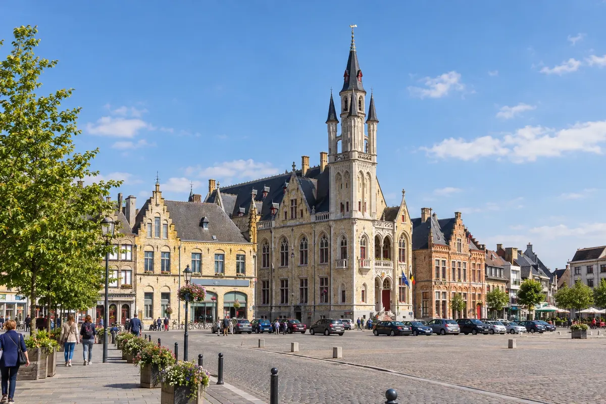
On the Grote Markt, the Stadhuis (town hall) keeps two wartime cells and, in the courtyard, the execution post used by the military justice— a sober reminder of soldiers condemned in that period.
Poperinge is also the hop city: the region has 144 hectares of plantings and 17 producers. The Hopmuseum tells the story, harvest and processing of the plant, and the town holds a beer and hop festival every three years.
Stops: Poperinge, Talbot House, Stadhuis, Grote Markt, Hopmuseum.
Includes: Talbot House and the Hopmuseum have their own tickets, paid separately; check the current pricing.
Tip: At Talbot House, last entry is one hour before closing. To sample the local beer, opt for small servings and remember: if you drink, don’t drive. Combine it with Lijssenthoek Military Cemetery along the way.
Best time: All year. Confirm the Hopmuseum season before you go. The hop festival takes place in September, every three years.
Lijssenthoek Military Cemetery and visitor centre
From Poperinge Car, bicycle or tour about 1 hour 30 minutes afternoon easy
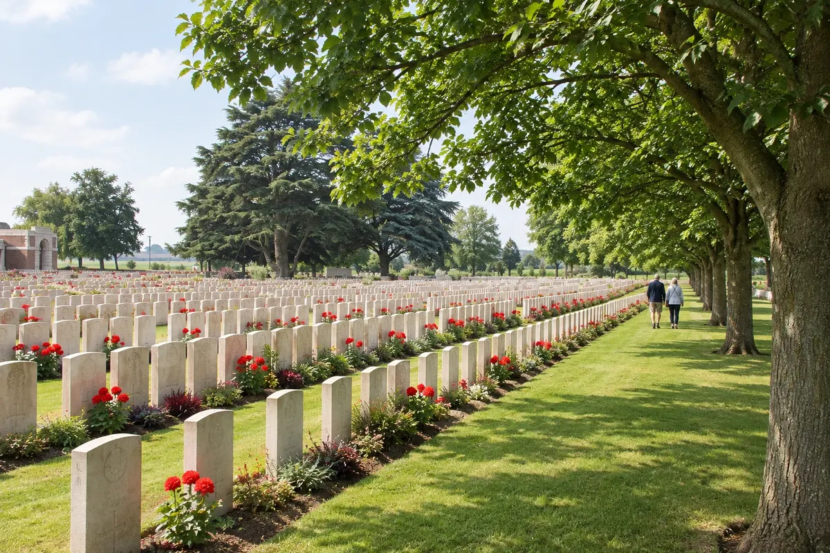
In the village of Lijssenthoek, in Poperinge, the Remy Siding evacuation hospitals operated from 1915 to 1920; they were a group of casualty clearing stations serving the Ypres Salient. Soldiers who died there were buried in the adjacent cemetery, which now holds almost 11,000 dead from 30 nationalities.
The visitor centre tells the story of the cemetery and the hospitals with a timeline, a graves map and an interactive table to search names, regiments and hospital diaries. There are excerpts from letters and diaries in audio, a portrait mural and a calendar that, each day, tells the story of one of the dead. The cemetery is part of the First World War sites inscribed as a UNESCO World Heritage.
Stops: Lijssenthoek Military Cemetery, Lijssenthoek Visitor Centre.
Includes: Cemetery and visitor centre with free entry, parking and toilets. Guided visits can be booked through Poperinge tourism.
Tip: Start at the visitor centre, which is open every day, and then walk through the cemetery. You may leave flowers, poppy wreaths or photos, without attaching them to the headstones.
Best time: All year round.
Diksmuide: IJzertoren and Museum aan de IJzer
From Ypres (about 25 km) Car, De Lijn bus or train from Ghent about 2 hours 30 minutes morning easy (there is an elevator)
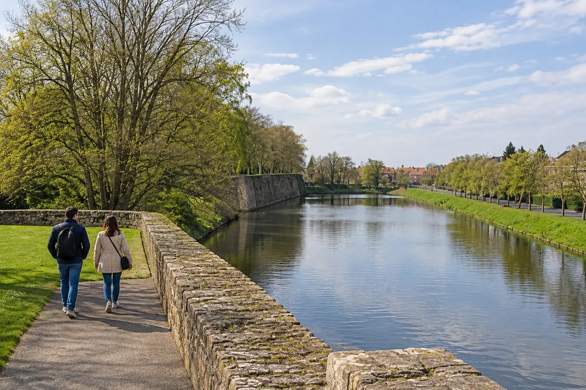
Diksmuide lies north of Ypres, beside the river IJzer (Yser). In October 1914, Belgian and French troops defended the town, and at the end of that month the Belgian army opened the sluices and flooded the plain. The IJzer became the front line until the end of the war. The town was rebuilt in the 1920s.
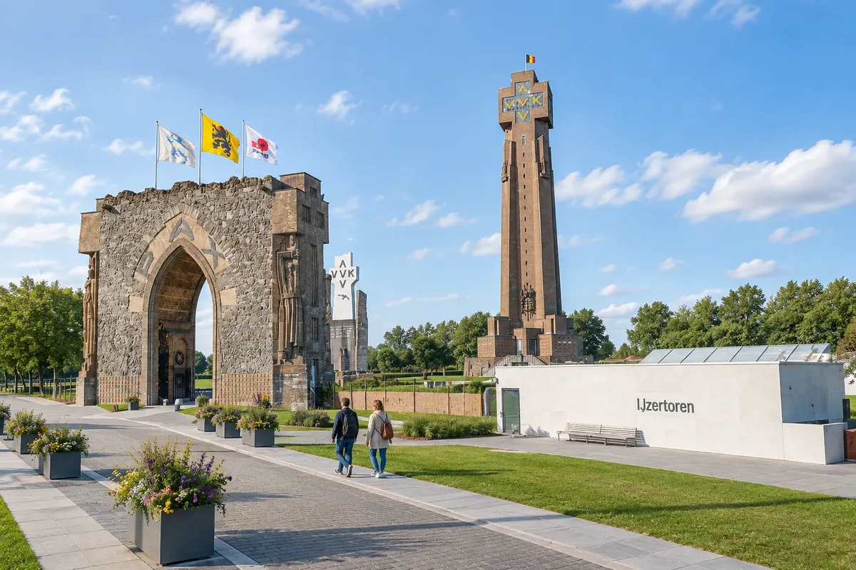
On the riverside stands the IJzertoren (IJzer Tower), 84 m high, with the Museum aan de IJzer: 22 floors of interactive displays about war and peace, with an elevator. From the terrace at the top you can see the whole former front region. The first tower was demolished in 1946; its ruins form the Paxpoort (Peace Gate), and the current tower was inaugurated in 1965. The site also includes the crypt, the IJzercrypte, and an exhibition about the landscape, with a panoramic room.
Stops: Diksmuide, IJzertoren, Museum aan de IJzer, Paxpoort, IJzercrypte.
Includes: Separate paid admission, with access to the tower and the museum; check the current price list. Children from 7 years old receive an activity booklet.
Tip: The guided visit takes 1 hour 30 minutes to 2 hours; on your own allow similar time. The site accepts entry up to one hour before closing. Combine it with the Dodengang, about 1.5 km away.
Best time: All year round. On clear days the view from the terrace usually reaches far; in fog the landscape disappears.
Dodengang (Trench of Death), in Diksmuide
From Diksmuide (about 1.5 km from the center) By car, by bicycle, or on foot from Diksmuide about 1 hour 30 minutes afternoon easy (uneven ground)
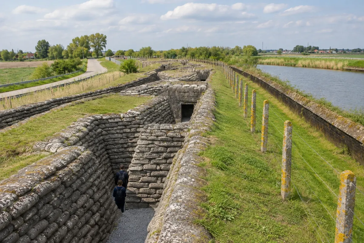
The Dodengang (Trench of Death) is a preserved Belgian trench along the IJzer. The Belgian army dug it in 1915 as an approach trench toward the German positions, and the Germans built theirs on the other side. After the flooding of the plain, the two sides were separated by a narrow strip of water, and the Belgian positions were about 50 m from German bunkers. The situation lasted roughly three years, until the final offensive of September 1918.
Today you can walk more than 1 km of Belgian trenches and bunkers, including the Belgian position and an advanced German bunker. The visitor center shows photos, films, interactive apps and more than a hundred original objects that tell the story of Belgian and German soldiers.
Stops: Dodengang, IJzer.
Includes: Separate paid admission; check the current price list. Accepts the Belgian museums annual pass.
Tip: The site itself recommends rubber boots: the trench floor is often wet. Do it on the same day as the IJzertoren.
Best time: All year. From April to October the path is usually drier.
Guided tour of the Ypres Salient
From Ieper Van or minibus tour from 3 to 8 hours full day easy
Most front-line sites are outside Ypres, spread along rural roads, and the bus doesn’t reach them all. If you’re not driving, guided tours are the practical way to see several sites in one day, with the history told en route.
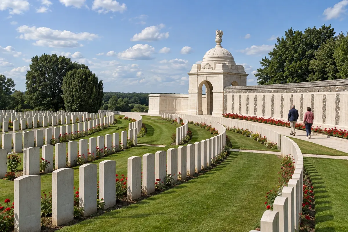
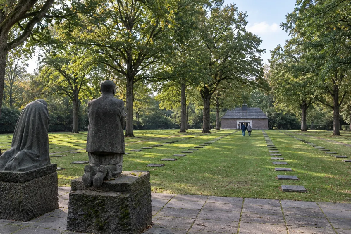
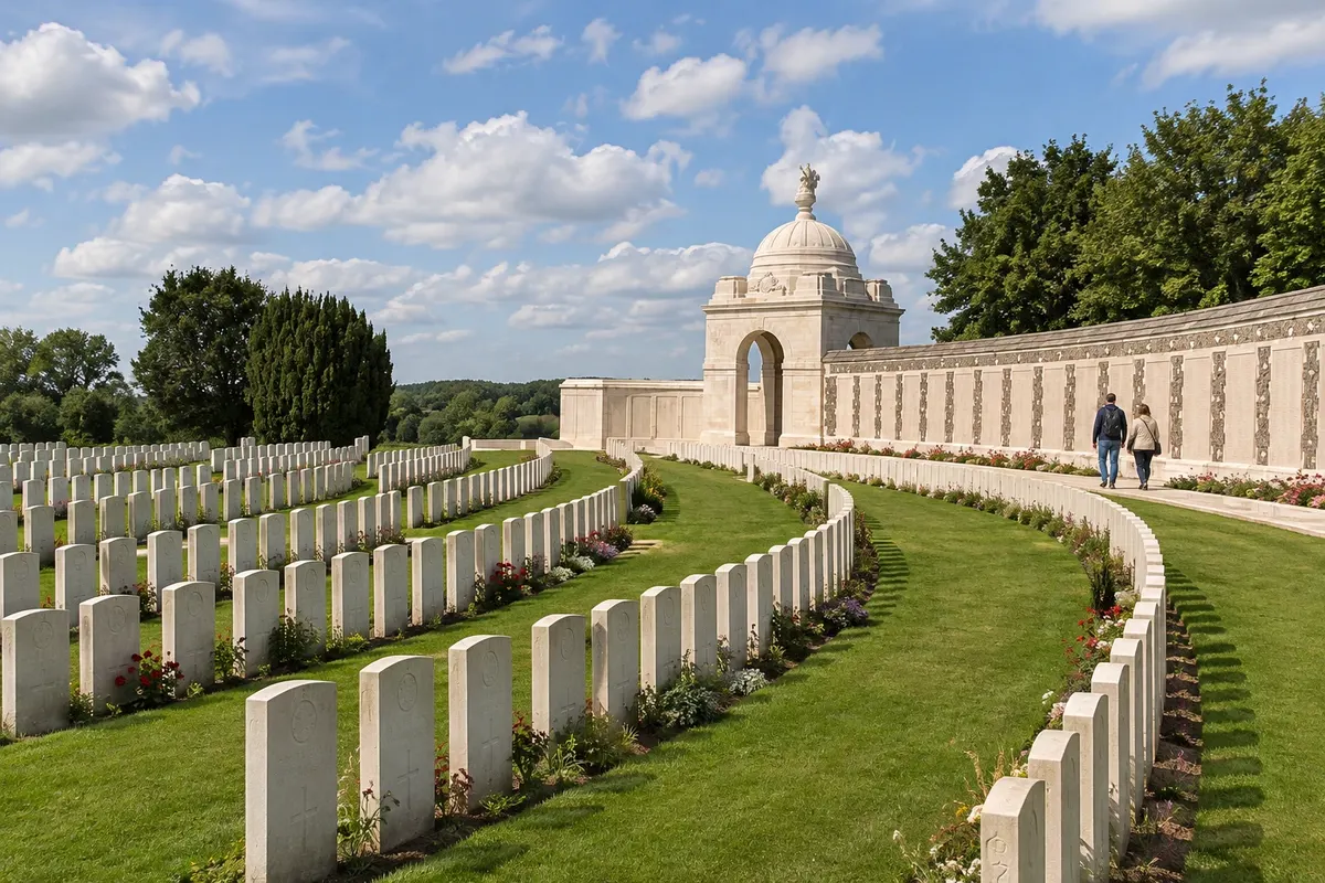
Several companies in Ypres run these tours, such as Flanders Battlefield Tours, with groups of up to 16 people, and others offering private vans or minibuses. There are half-day departures of about 3 hours and full-day tours of about 8 hours. Routes typically include Tyne Cot, trenches, mine craters and cemeteries from different countries, such as the German cemetery at Langemark. Some companies design bespoke itineraries.
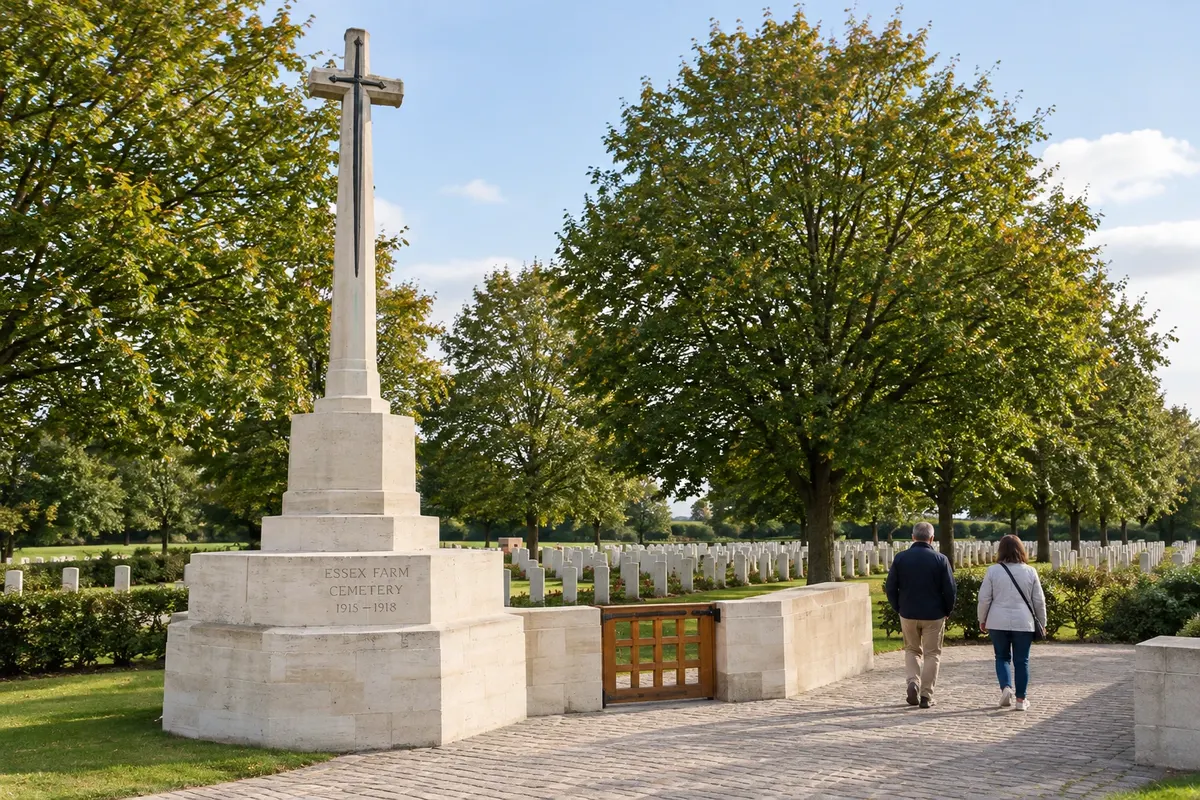
Stops: Ypres Salient, Tyne Cot Cemetery, Hill 60, Langemark, Essex Farm Cemetery, Bayernwald.
Includes: Generally: transport from Ypres and a guide, usually in English. Museum tickets and meals are typically paid separately. Check the current price list.
Tip: Book in advance in summer and in November. If you are looking for a relative’s grave, give the name to the guide beforehand: searches are done in the Commonwealth War Graves Commission records.
Best time: All year. From April to October the long days allow more stops.
By bicycle along the front: routes from Ypres and Poperinge
From Ypres or Poperinge Your own bicycle, a rental or a guided tour 3 to 6 hours full day easy to moderate (ascents in Heuvelland)
The Westhoek is flat in the north and has hills in the south, in Heuvelland, and is crossed by a network of cycle routes numbered by junction points. Bicycling is a common way to link the front sites, which are close to each other: from Ypres, for example, Hill 62 is about 5 km and the Memorial Museum Passchendaele 1917 about 9 km.
Ypres tourism offers themed First World War routes, and the three entry points of the Salient, Entry Point North, Entry Point East and Entry Point South, serve as bases for short circuits. In Poperinge there are conventional and electric bike rentals at several shops and at the Blue Bike hub. Some companies run guided half‑day, full‑day or multi‑day tours.
Stops: Ypres Salient, Entry Point North, Entry Point East, Entry Point South, Kemmelberg.
Includes: Rental and guided tours are paid separately; check the current price list. The Ypres Salient entry points have free access.
Tip: An electric bike helps on the climbs in Heuvelland, such as Kemmelberg. Bring a rain cape even in summer. Check the network signage, which can change.
Best time: From April to September, with long days and milder temperatures. In winter the days are short and the wind is cold.


 Brazil
 Argentina
 Bolivia
 Chile
 Colombia
 Ecuador
 Guyana
 French Guiana
 Falkland Islands (Malvinas)
 Paraguay
 Peru
 Suriname
 Uruguay
 Venezuela
 Germany
 Austria
 Croatia
 Denmark
 Spain
 Finland
 France
 Greece
 the Netherlands
 Hungary
 Ireland
 Iceland
 Italy
 Luxembourg
 Norway
 Poland
 Portugal
 the United Kingdom
 the Czech Republic
 Sweden
 Switzerland
 Turkey
 the United States
 Mexico
 the Dominican Republic
 South Africa
 Australia
 Fiji