

 Brazil
 Argentina
 Bolivia
 Chile
 Colombia
 Ecuador
 Guyana
 French Guiana
 Falkland Islands (Malvinas)
 Paraguay
 Peru
 Suriname
 Uruguay
 Venezuela
 Germany
 Austria
 Belgium
 Croatia
 Denmark
 Spain
 Finland
 France
 Greece
 the Netherlands
 Hungary
 Ireland
 Iceland
 Italy
 Luxembourg
 Norway
 Poland
 Portugal
 the United Kingdom
 the Czech Republic
 Sweden
 Switzerland
 Turkey
 Canada
 the United States
 Mexico
 the Dominican Republic
 South Africa
 Fiji
 New Zealand
 Papua New Guinea
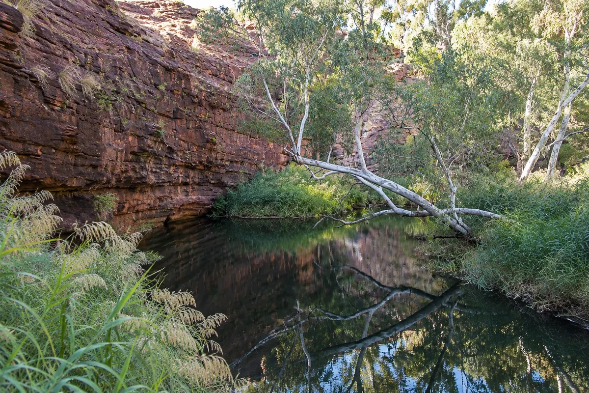
Trail · Kings Canyon, Northern Territory
Kathleen Springs
Short, flat walk in Watarrka National Park to a permanent waterhole at the base of the George Gill Range escarpment, about 21 km from Kings Canyon.
Illustrative images. The pictures in this guide are illustrations based on the real place, not photographs, and may differ from it.

Discover
About Kathleen Springs
Kathleen Springs is in Watarrka National Park, about 21 km southeast of Kings Canyon. It is a waterhole fed by springs at the base of the George Gill Range sandstone escarpment that remains even in the dry months.
The trail is short, flat and paved, with wheelchair access. It passes interpretive signs explaining the importance of the site to the Matutjara, for whom the waterhole is a cultural place, and noting the time when the area was used for cattle grazing.
At the end, a lookout faces the waterhole and the semicircular cliff. It is a shady spot with birds, good at late afternoon after the longer canyon walk.
Swimming in the waterhole is not allowed.
Before you go
Practical information
Cidade Turismo reviews its information regularly, but something may have changed. Check with the place before planning your trip.
How much time to set aside
About 1 hour, return.
Best time
Late afternoon, with low light on the cliff, or early morning, when more birds are active.
How to get there
By car, via Luritja Road, about 21 km southeast of Kings Canyon, to the signed car park.
Tip
It’s the right option for those who do not want or cannot do the rim ascent.
Official website
Get your questions answered
Frequently asked questions about Kathleen Springs
Is the Kathleen Springs walk easy?
Yes. It is short, flat and paved, with wheelchair access.
Can you swim in Kathleen Springs?
No. The waterhole is a cultural site for the Matutjara and bathing is not permitted.
How far is Kathleen Springs from Kings Canyon?
About 21 km southeast, via Luritja Road.