

 Brazil
 Argentina
 Bolivia
 Chile
 Colombia
 Ecuador
 Guyana
 French Guiana
 Falkland Islands (Malvinas)
 Paraguay
 Peru
 Suriname
 Uruguay
 Venezuela
 Germany
 Austria
 Belgium
 Croatia
 Denmark
 Spain
 Finland
 France
 Greece
 the Netherlands
 Hungary
 Ireland
 Iceland
 Italy
 Luxembourg
 Norway
 Poland
 Portugal
 the United Kingdom
 the Czech Republic
 Sweden
 Switzerland
 Turkey
 the Dominican Republic
 South Africa
 Fiji
State · Noroeste e Barrancas del Cobre
Chihuahua
Chihuahua, the largest state in Mexico: the Barrancas del Cobre and the Chepe train, Creel and Divisadero, the Basaseachi waterfall and the Paquimé archaeological zone.
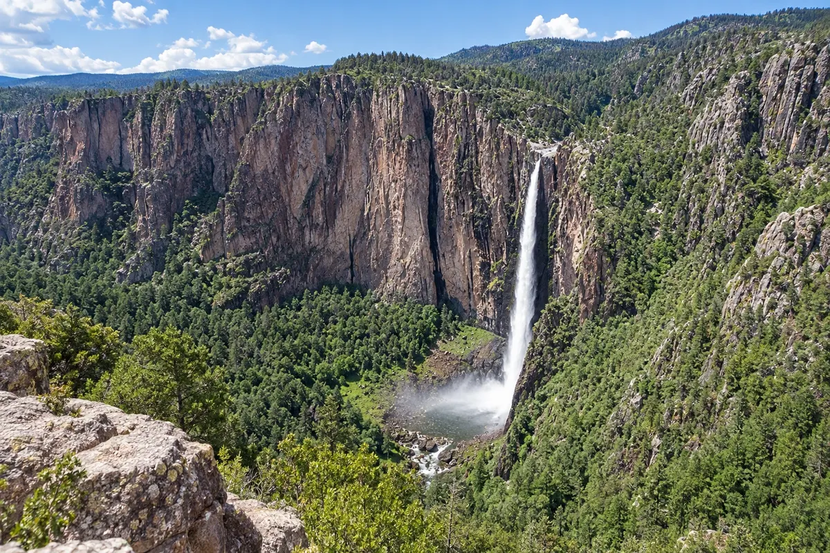
In the photo: Basaseachi Waterfall
Illustrative images. The pictures in this guide are illustrations based on the real place, not photographs, and may differ from it.

The state
Get to know Chihuahua
Chihuahua is the largest state in Mexico, in the north, on the border with the United States. It has desert plains, cattle ranchlands and, in the west, the Sierra Tarahumara, where a series of deep canyons forms the Barrancas del Cobre, one of the most impressive landscapes in the country.
The Chepe train connects the capital, Chihuahua, to Los Mochis, in Sinaloa, crossing the mountains via bridges and tunnels. Creel is the base town in the highlands, surrounded by rock formations, lakes and communities of the rarámuri (tarahumara) people, known for long-distance running and craftwork. At Divisadero, viewpoints open onto three canyons, and the Adventure Park has a cable car, zip lines and suspension bridges.
The capital, Chihuahua, has a baroque cathedral, the Quinta Gameros (an art nouveau mansion), and the Revolution museum in Pancho Villa’s former house. In the western highlands, the Basaseachi waterfall drops about 240 meters into a canyon.
In the northwest of the state, Paquimé, in Casas Grandes, is an ancient adobe-walled city, a World Heritage Site, with pottery decorated in geometric patterns. On the table, look for dried meat (machaca), burritos and cheeses from the Mennonites.
When to go
From March to May and from September to November the weather is usually pleasant in the highlands and in the towns. From July to September it rains in the highlands and the landscape becomes green. From December to February it is cold, and it can snow in Creel. Chihuahua is 3 hours behind Brasília; the city of Juárez and other border municipalities move the clocks forward from March to November.
Getting there
Chihuahua airport (CUU) receives flights from Mexico City and other cities. The Chepe train departs from Chihuahua and from Los Mochis, with stops in Creel, at Divisadero and in El Fuerte; the Chepe Express, aimed at tourists, covers the section between Los Mochis and Creel. From Chihuahua, Creel is also about 4 hours by bus or car.
Your questions
Frequently asked questions about Chihuahua
How does the Chepe train work?
The Chepe connects Chihuahua to Los Mochis through the mountains, with stops in Creel, at Divisadero and in El Fuerte; the Chepe Express, more touristic, runs the section between Los Mochis and Creel. Many travelers do the route in stages, staying overnight at the stops. Book in advance.
How many days should I allocate for the Barrancas del Cobre?
Four to five days allow for the train, two nights in the highlands between Creel and Divisadero and one night in El Fuerte or Chihuahua.
Is it cold in the Barrancas del Cobre?
In the high part of the Sierra, such as in Creel, nights from December to February are cold and it can snow. At the bottom of the canyons it is hot.
Who are the rarámuri?
The indigenous people of the Sierra Tarahumara, known for long-distance running and for craftwork such as baskets and dolls.